Linda asked me to write a piece on my latest project on the Cougar 5th wheel trailer. Not being able to travel because of the virus issues has caused me to look at some things we had disliked about our little “home on the road.” The latest project concerned the kitchen sink and faucet.
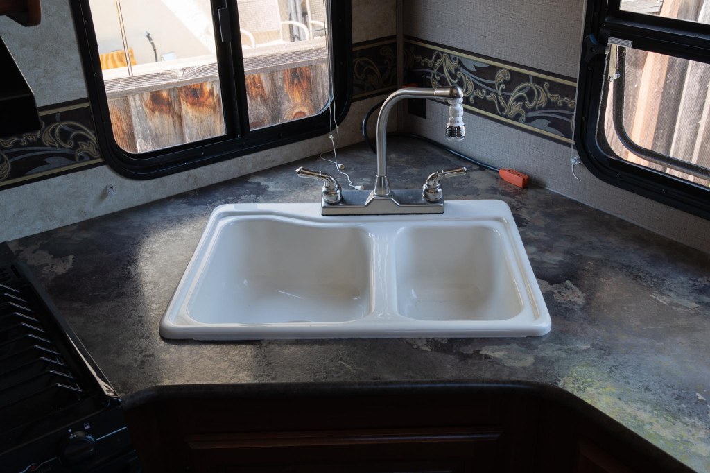
Pictured below is the original setup which we didn’t like because the sink is a two basin and both basins were so small we could not wash a frying pan or large pot in it. The old faucet would not reach far enough even though we previously replaced the nozzle with a swivel style.
Old Sink and Faucet
So after researching what was available as a replacement, I proceeded to pull it apart. It was pretty simple once the drains, there were two of them, were disconnected along with the hot and cold water lines. There were also six metal clips with wing nuts to remove from the underside of the sink. Once done, the whole thing just lifted out.
Demo Done
We chose a single basin sink, which has only one drain. Also, the new faucet is a single handle that has a pull-down spout. I had to bore a hole in the countertop for the new faucet. Once that was done, it was easy to connect the water lines. Then it was just a matter of dropping in the new sink and connecting the single drain.
New Single Basin Sink
The hardest part was putting the clip-wing-nut thingies under the sink. I was only able to get the front ones because I’m too big to fit into the cabinet below the sink. Linda came to the rescue (I knew there was a good reason I married a small woman). She easily fit inside to complete the job!
We selected the KOA in Kingman, Arizona, for our next stop on our roundabout way home from Big Bend National Park. Now, all we needed was to find something to do.
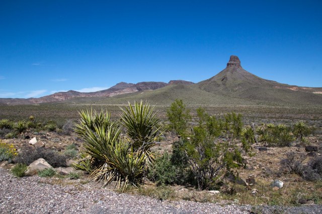
Wish I knew more about that pointy peak
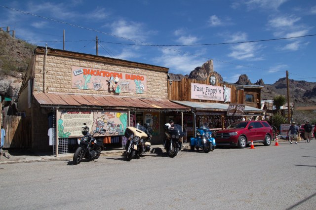
Along Route 66, travelers find plenty of strange and wondrous places to explore. One of those stops is Oatman, Arizona, a living ghost town turned tourist attraction and day-trip destination for Colorado River visitors. My sister told us about the town, so we headed out.
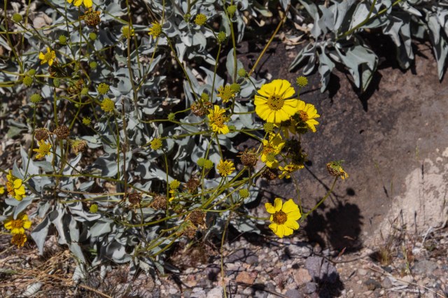
Daisy in the desert
There are two ways to access Oatman along Interstate 40 between Kingman, Arizona, and Needles, California. From the south, pick up Oatman Highway,—a National Back Country Byway and also known as Route 66—off I40 on the east side of the Colorado River. We took the Shinarump Drive and Oatman exit south of Kingman. The route is forty-two paved miles, and vehicles longer than forty feet are not recommended.
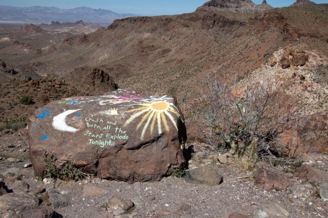
A naturally formed mesa?
Be sure to refuel because there is no gas station in Oatman and drive safely navigating the hills and curves. Burros, bighorn sheep, and other vehicles in the road could spoil a driver’s or bike rider’s day.
Layers of geological formations abound along Route 66 in the Black Mountains
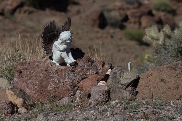
Oatman Highway traverses Mohave County’s Black Mountains. Geological formations, mine remnants, and a mesa used for memorials in memory of family or friends are sights along the way.
Oh, dear. That’s all we need in the middle of a pandemic.The family plotAngel watching over a memorial
The Town of Oatman began as a small mining camp in 1915 when prospectors struck it rich with a $10 million gold find. One year later, the population had swelled to 3,500. From its start and until the government shut down the mines in 1941, the district produced $40 million in gold and some mines were among the largest producers of gold in the western states.
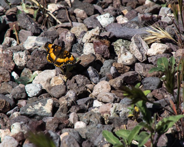
Butterfly in the desert
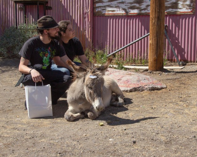
The current population is about 130 people compared to possibly thousands of burros that call the surrounding hills home. Miners brought the burros to town during the heyday of pulling all that gold out of the hills. The animals carried essential supplies, rock, and metals.
Random couple petting a burro. She’s a youngin’. The tag says, “Don’t feed me.”
When the mining ended, the burros were left behind to fend for themselves. The life of a burro in these parts is fairly simple. Wake up each morning and walk to town for food and attention from the tourists.
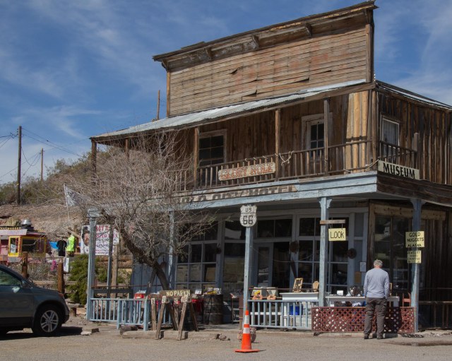
Fast Fanny’s Place was a brothelThe 1902 Oatman Hotel escaped the 1921 fire that destroyed other buildings
The burros stick around during the day, posing for photos with children and the young at heart and munching on handouts the tourists offer. Many of the stores sell carrots and pellets for feeding the burros. Do not feed them any other food. It could make them sick, and that would not be a pretty sight. Come sunset, they migrate back home.
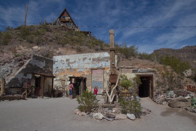
Oatman Drug Company building built in 1915 is listed in the NRHPTake a quick spin through the mine to get a feel for what it was like
Times were tough for the residents when the mining stopped. They survived by catering to travelers driving between Kingman and Needles. The construction and opening of a new route that bypassed Oatman in 1953, left the town mostly abandoned by the 1960s. Over the years it morphed into the tourist attraction it is today with burros and all.
Let’s see. Gold pan’in or books? I’ll take books, please.
One might think Oatman got its name from the mining activity. It was actually the story of Olive Oatman’s kidnapping in 1851 by a local tribe that inspired the town’s name.
Get twisted with Crazy Ray’s T-shirts
Olive had traveled through the area from Illinois with her family when Indians attacked, killing most of her family. Five years later, with a tattooed chin, a Mohave tribe released her at Fort Yuma some 200 miles away.
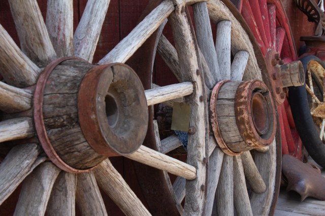
Wagon wheels a plenty
We continued south on the Oatman Highway and came across a group of people riding ATVs, so we stopped awhile and watched as they kicked up the sand.
Looks like fun, but is it?
It looked like fun at first. Then I remembered the time we went with family and friends to Glamis over a Thanksgiving weekend. One day a sandstorm kicked up, and it took us a month to clean the grit from our little 20-foot trailer.
Look, Mom, I’m driving
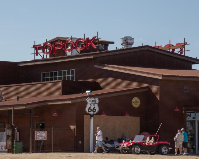
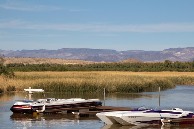
We continued on to Topock Marina where we stopped for a drink and snacks and enjoyed the view of the river, the train, and the marina.
Topock 66 Restaurant, Bar and RiverstoneBoat below and train aboveToprock Marina on the Colorado River
While in Kingman, we also drove into Lake Havasu to eat breakfast with our niece and grandniece at the Red Onion.
Aunt Linda with Niece Bobbi
Exploring the contents of my purse was of more interest to Bobbi than her food. It was nice having a small child on my lap again. This was four years ago, so I’m sure she’s too big to sit on laps today.
Whew! That’s done. We began our trip on February 15, 2016, and arrived home on March 15. I can’t believe it took twelve weeks to document a four-week trip. I thoroughly enjoyed revisiting the places we explored through the research and writing of this series of posts. It is the trip that inspired me to start the blog in September 2016. My family and a few friends had asked me to keep them updated during our travels. When I realized what a chore it was to write up emails and send out photos via email, the blog was born. It seemed the perfect solution to document our trips, and the bonus was finding a simple way to share my photos. WordPress came to my rescue.
Jon and I thank everyone who has followed along on our adventures these past few years, and we look forward to the day when we can wander around the country again. We have several destinations in mind and are itching to get started.
I’m taking the month of August off to concentrate on another project and hope to have new material at some point.
And with that, let me close this post and the entire Big Bend series with another desert shot as we drift off into the sunset.
Albuquerque, New Mexico, to Holbrook, Arizona, was a perfect distance to travel west on March 7, 2016. It also cut another 235 miles from our trip home along Interstate 40 (also known as Route 66). Advertised as the closest full-service campground to the Petrified Forest National Park and the Painted Desert, we selected the Holbrook/Petrified Forest KOA to stay and explore.
Holbrook, Arizona
Holbrook is a small town with a population of 5,000 incorporated in 1917. Its modern history began in 1881 and 1882 when men arrived to build the railroad, raise cattle, engage in criminal activity, and keep the peace. Thus the town sprouted in the middle of the desert. Of course, the Ancestral Puebloans, Native Americans, Hispanics, and pioneers called the area home for many years before the mid-1800s.
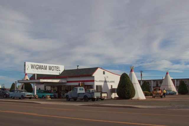
Wigwam Motel Village #6
A notable story for the town is the Holbrook Shootout in 1887, during the Pleasant Valley War, or Tonto Range War. The shootout occurred on September 4, when Apache County Sheriff, Commodore Perry Owens, paid a visit to Andy Blevins (a.k.a., Andy Cooper) to arrest the man for horse theft. At Blevin’s home, Owens found him, two of his brothers, a friend, and other family members. Four men to one didn’t bode well for Owens that day. Like a climax in a western movie, Owens walked away without a scratch, while Blevins, one brother, and his friend perished. Considered a western legend like The Earp Brothers and other lawmen of the Old West, I want to believe Owens chose good over evil most of this life. Unfortunately, many of our heroes don’t always live up to the white-hat variety, and Owens is no exception. I’ll let readers who want to learn more perform their own research on Commodore Perry Owens.
The Wigwam Village #6
We didn’t have much time to spend wandering around the town because our goal was to see the Petrified Forest. One sight that caught my eye was the Wigwam Village #6 on Route 66. I grew up in Rialto, California, where a Wigwam Motel still operates on Foothill Blvd., (Route 66), so I had to stop and click a few pics.
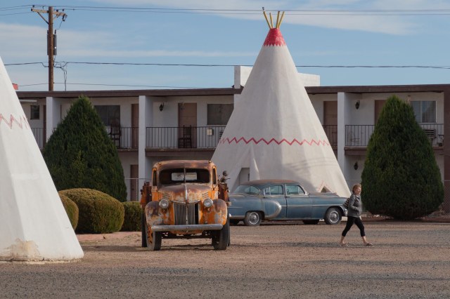
Look. Mater from the Cars movie is here.
Chester E. Lewis of Holbrook built the property and opened in May 1950. Members of the Lewis family have owned the motel since then, modernizing and updating as needed throughout the years. I liked the way the Lewis’s incorporated the antique vehicles for authentic flavor, especially “Mater.”
Petrified Forest
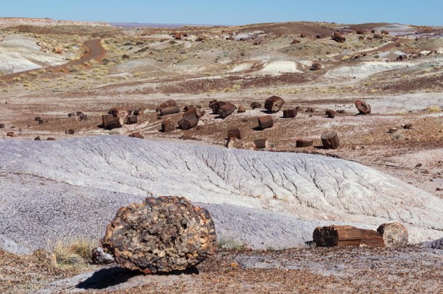
President Roosevelt named the Petrified Forest as a National Monument in 1906. Driving along the road through the park, I had to ask, “Where did these trees come from and why did someone cut them up and scatter them around the landscape?”
Rainbow Forest Museum and Visitor Center from Trail
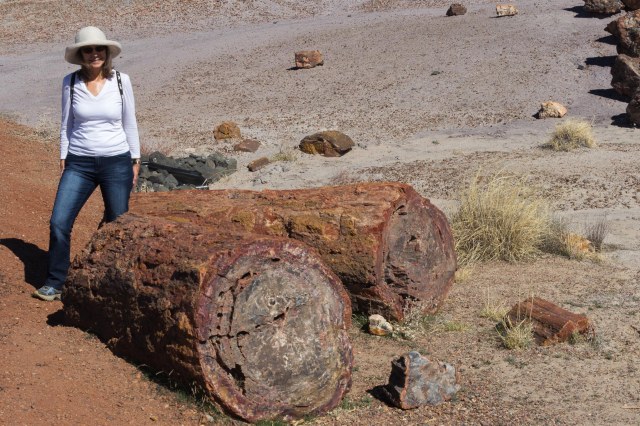
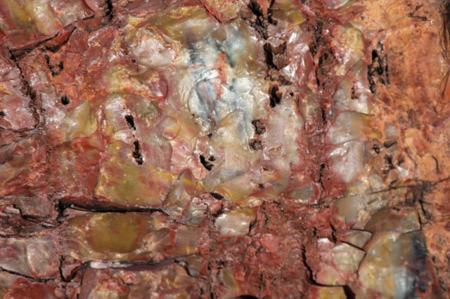
Two hundred million years ago, an ancient river system washed away the tall trees. Water, sediment, and debris buried them so deep that oxygen could not get through. Without oxygen, there was no decay. Instead, the wood absorbed minerals and silica dissolved from volcanic ash and crystalized the organic material over hundreds and thousands of years. Each piece of giant crystal contains iron, carbon, and manganese, which creates a rainbow of colors.
The scientific name of the petrified trees is Araucarioxylon arizonicu
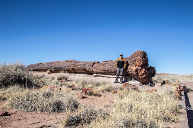
It almost looks like someone came around and used a chainsaw to cut up the petrified logs. The splitting and breaking apart began 60 million years ago when the Colorado Plateau uplifted. So it was Mother Nature at her best that broke the logs with clean, smooth cuts.
The logs look like wood and feel like rock.
The park’s archeological record dates back to the Paleoindian era of 13,500 to 6,000 BCE. From the time of Paleoindian—when hunter-gatherers used the petrified wood to create stone tools—to the year 1540 CE, people who inhabited the area adapted to the changing climate as the ice age waned and warmer, dryer climates became the norm.
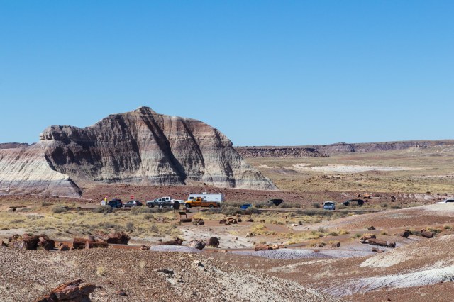
Martha’s Butte from Crystal Forest Trail
Evidence of pit houses; farming of corn, squash and beans; and small game defined the Basketmaker period of 500 BCE to 650 CE. A village of forty-seven pit houses and storage pits was also located in the park, including examples of ceramics used for cooking and storage.
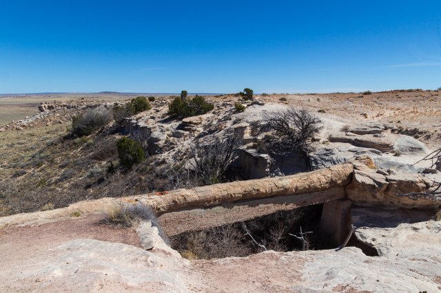
Scattered crystalsLandscape view Close up of rainbow-colored crystalStay off the 110-foot Agate Bridge
During the Pueblo periods, people moved out of the pit houses and built stone structures above ground in clusters. The years 1300 to 1540 CE brought trade to the area resulting in larger villages, an exchange of ideas, and a mix of artifacts from varying cultures.
Blue Mesa Trail
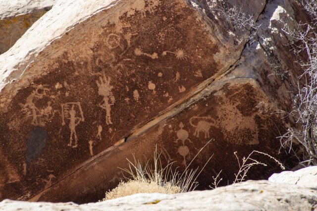
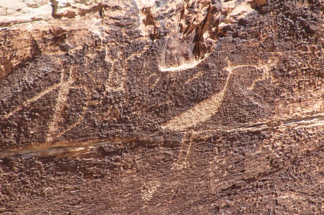
Newspaper Rock includes 650 petroglyphs over a collection of rocks in a small area. The petroglyphs date back to 650 and 2,000 years ago.
Petroglyphs of stars, animals, aliens?And the bird ran away with the frog
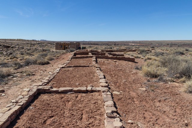
Puerco Plaza dates to the pueblo IV period. Next to Rio Puerco sits the ruins of an adobe compound of a hundred or more rooms. The pueblo contained living quarters that housed up to 200 people around 1300. Underground rooms called kivas for ceremonial purposes were also found. Imagine the single-story structure built in a square with plaster-coated exterior walls and no doors or windows. The roofs consisted of logs, brush, and mud. The people used ladders over the walls and roofs for access outside of the plaza.
Puerco Plaza adobe ruins
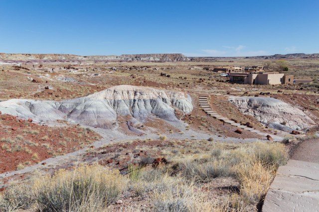
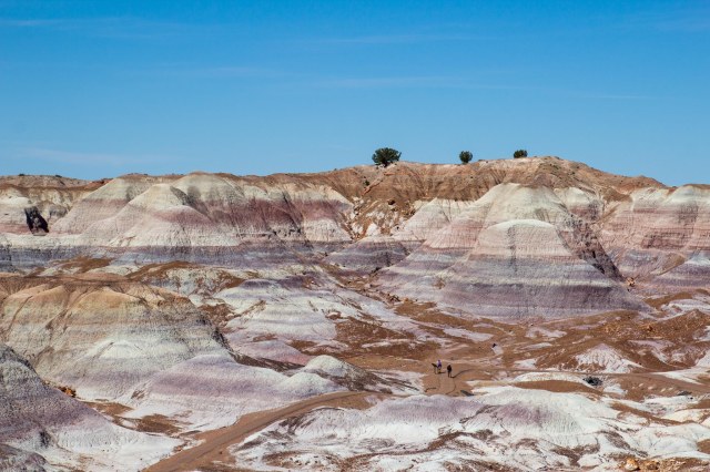
Painted Desert
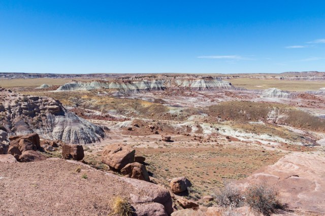
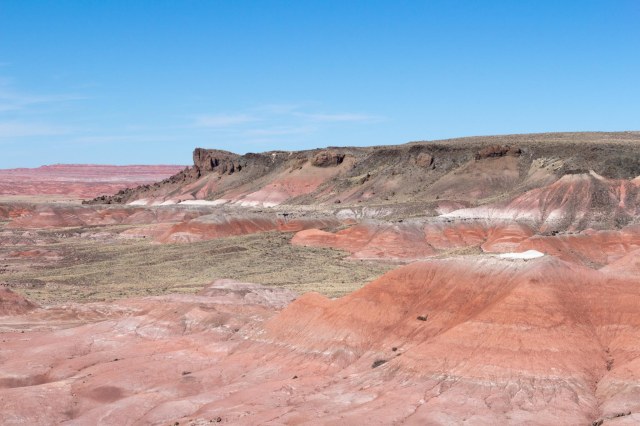
In 1540, the Spanish explorer Francisco Vazquez de Coronado passed through the area on his way to see the Grand Canyon and Colorado River. He named the colorful land El Desierto Pintada, the Painted Desert. The Painted Desert runs from near the east end of Grand Canyon National Park and southeast into the Petrified Forest National Park. The stratified layers consist of siltstone, mudstone, and shale of the Triassic Chinle Formation. Iron and manganese contribute to the varied colors, including the red rock and shades of lavender.
Painted Desert viewPainted Desert view
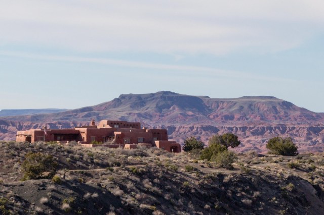
Painted Desert Inn overlooks the Painted Desert and would have been an interesting place to stay as a guest after World War II when the Fred Harvey Company operated the inn and restaurant. The National Historic Landmark functions only as a museum today.
Painted Desert Inn
An original building made of petrified wood was constructed in the early 1920s. The adobe façade dates to a 1930s renovation by the Civilian Conservation Corps. Subsequent modernization projects in 2004 and 2006 helped to preserve the inn.
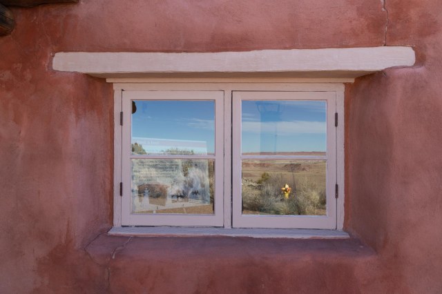
Window reflections
A few days before publication of this post, the north and south visitor centers were open, but the Painted Desert Inn was temporarily closed and wilderness camping permits were not available. As with many of the national and state parks, it’s best to check the website for current conditions before arriving.
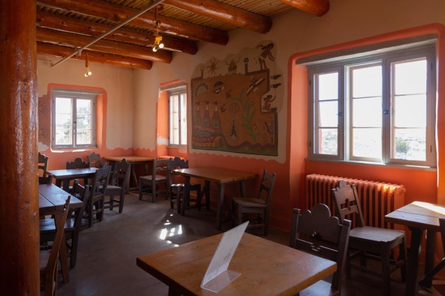
Inside Painted Desert Inn
We highly recommend setting aside an hour, two, or more to explore this unique park and learn not only about the crystal trees but the people who inhabited the area for thousands of years before us.
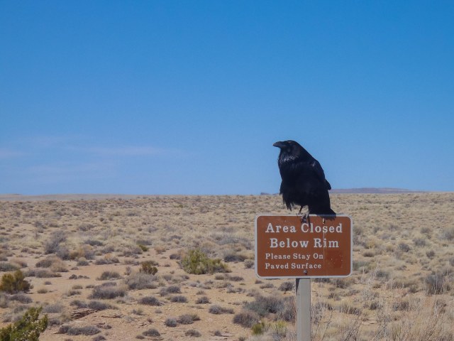
An omen to obey all warning signs
While deep in research for this article, I ran across the AZ Memory Project at azmemory.aslibrary.gov. They have collections of photographs taken in Arizona dating back years. It is one of those websites where I could get lost for hours viewing the various photos, so I thought I would share.
Next up we continue on Route 66, make a quick stop in Kingman, and drive to Oatman, Arizona, a living ghost town and tourist attraction.
We pondered optional routes for our trip home and noticed Albuquerque was but a four-hour drive from Carlsbad. A perfect place to stop as we made our way home.
A few miles outside of Roswell, the highway turned bumpy for no apparent reason. There was no sign of buckling or wavy pavement that would cause the truck to shake the way it did. Jon pulled over when it was safe to check things out.
Spotted in Old Town Albuquerque
My sweet husband walked around the rig, and a few seconds later a string of profanities assaulted my ears. My stomach nose-dived. He tapped on the window. When I opened the door, he said, “!@#%&*. The right rear tire is separating. !@#%&*. We won’t make it to Albuquerque without it blowing out.”
The thought of unhooking the fifth wheel on the side of the road and changing out a tire didn’t sound like a safe plan. “I’ll call AAA.” I grabbed my phone. “Great, no cell service.”
Driving at a slow speed, our five-hour drive just lengthened to six or seven, if we were lucky. U.S. Route 285 turned even lonelier as we crept along with no cell service for miles and miles. We limped into Albuquerque North/Bernalillo KOA around 4:30 p.m., on a Saturday. The tire stores had already closed, so we called AAA to remove the bad tire and put on the spare. Purcell, the same group who adjusted the tire in Yuma, had a store in Albuquerque. All we had to do was wait until Monday.
Sandia Peak Tramway
Not to waste a perfectly good Saturday, we looked for something to do. Why would a height-leery person like me choose a ride on the Sandia Peak Tramway? Was I in the mood to prove something? Conquer my fear?
Tickets to ride
When we arrived, I looked up at the tower on top of the mountain and said, “That doesn’t look so bad, let’s do it.”
Are we there yet?
We boarded the tram car, curious to see what was at the top. The car crept closer to the tower, only I didn’t see any platform for getting off. The tram didn’t slow down. It crested the top of the mountain. Then I realized my mistake.
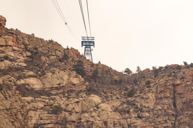
Photo taken from second tower. Holy moly, that’s a long way down.
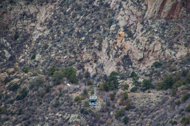
What lay ahead was a vast canyon, the Domingo Baca Canyon to be exact, and a tram car suspended in mid-air on the other cable inched toward us.
I prayed we would arrive safe and sound with fingers gripping to white-knuckle strength as if that would save me during a disastrous 900 foot (274 meters) drop to the canyon floor.
Whew! We made it.
At the top, we walked with shaky legs to the restaurant for a cup of hot chocolate and a chance to warm up and settle our nerves.
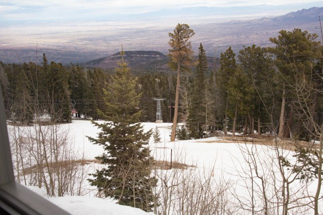
View from restaurant window
Then we ventured outside to have a look around. On the backside of the mountain stands a ski lift. The snow and freezing temperatures kept us from exploring the three trails.
Sandia Peak ski lift
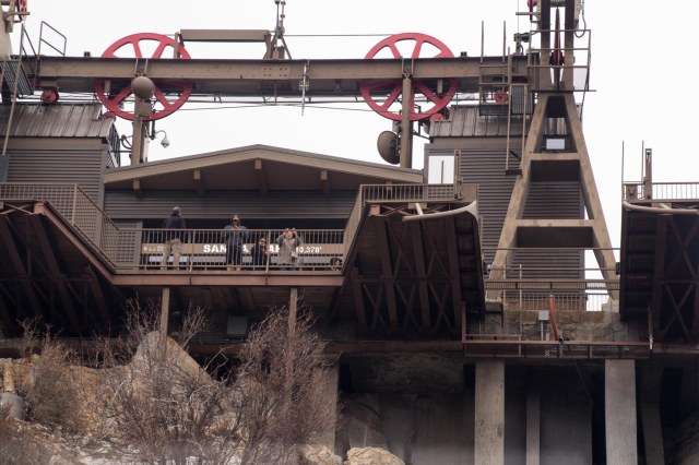
The Sandia Peak Tramway began operations on May 7, 1966. The two tram cars work together by pulling each other with one car ascending and the other descending. I’m sure there are mechanics involved as well. The Sandia Peak Tramway earns the title as the longest aerial tram in the Americas. The span between the first tower and the second tower is the third-longest span in the world.
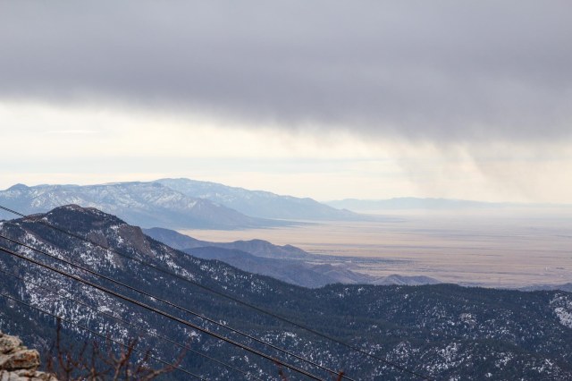
View south
As of the day before publication of this post, the tram was back in service with COVID-19 safety precautions in place and ticket purchases only online. It might be best to check their website for current conditions, restrictions, and operation days and times.
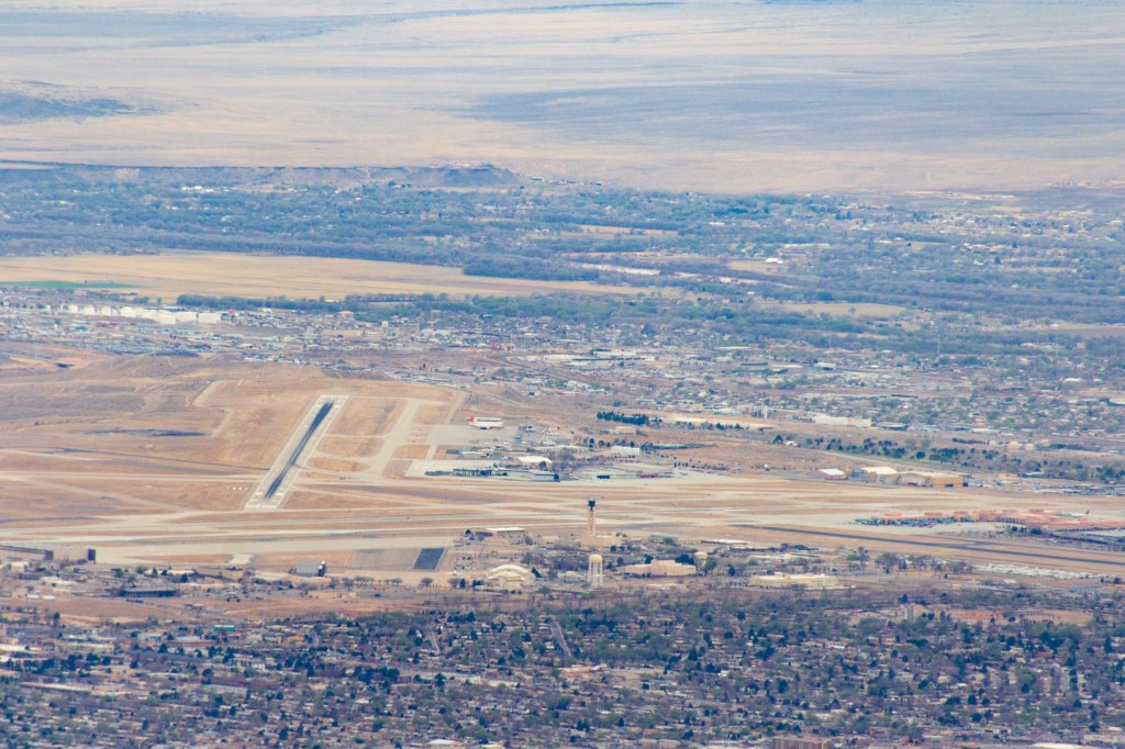
View westI came, I saw, I conquered
Although the adventure was super scary, I’m glad I rode the tram to the top. The descent wasn’t quite as bad as the ascent, but still a white-knuckler and we survived.
Old Town Albuquerque
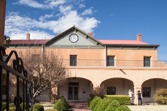
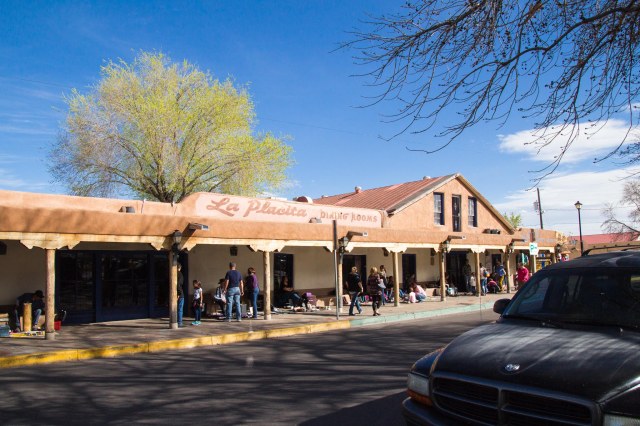
After we recovered from our death-defying adventure, we drove to Old Town Albuquerque for a quick look around the historic village, which was founded in 1706 by New Mexico Governor Francisco Cuervo y Valdes. Visitors will find an assortment of art galleries, stores selling clothing and accessories, gifts and souvenirs, jewelry and antiques, and a variety of specialty stores and museums. After dropping a few bucks on purchases, head to one of the many restaurants, or check-in at a hotel or bed-and-breakfast for a rest.
Romero Street Gallery
The San Felipe de Neri Church has stood for over 225 years. The first building built in 1718-19 collapsed in 1792. Several additions and renovations have occurred since 1793 and the building is currently undergoing a multi-project refurbishment.
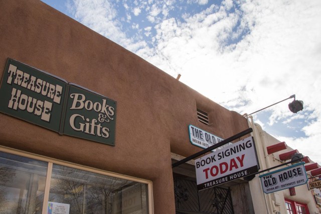
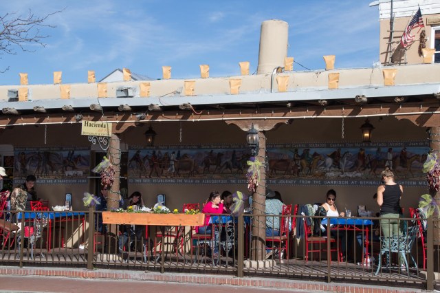
San Felipe de Neri ChurchSan Felipe de Neri Church wingBook stores surviveStreet vendors and artists display their wares for saleHacienda Del Rio CantinaChiles for the picking
We’ve had New Mexico on our travel list since 2016. In 2017, we had other locations at the top of our list. After two trips cut short in 2018 and 2019, we figured 2020 was the year we would finally spend a month exploring.
So far this year, a nasty little bug called COVID-19 has curtailed our plans again. Perhaps this fall will see us venturing out on the road again. Wishful thinking? Most likely, but I need something to look forward to besides endless days walking around my backyard.
When we do get back to New Mexico, will I take another ride on the Sandia Peak Tramway? Maybe it won’t be as scary as the first time. And I might just enjoy the journey—dangling from a cable over a canyon 900 feet from the ground—as much as the destination.
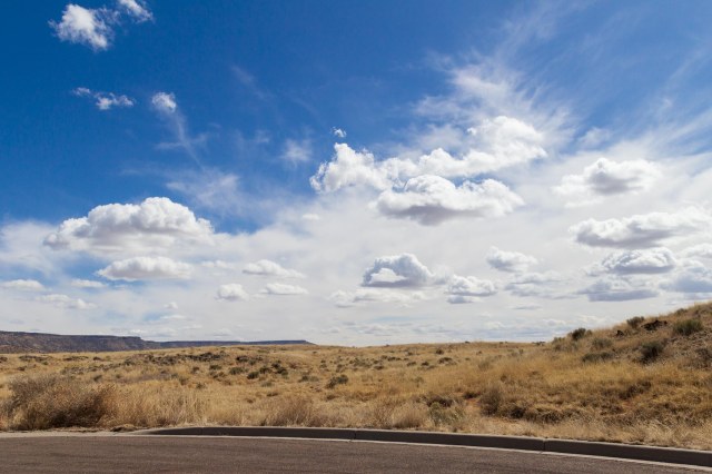
In closing, I present this photo of a New Mexico sky.
New Mexico Dreaming
Up next we continue with our 2016 Winter Tour when we arrive in Holbrook, Arizona, to visit the Petrified Forest National Park.