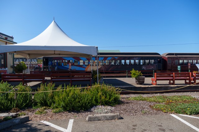
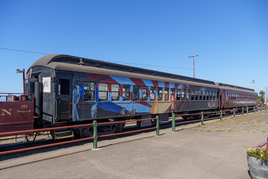
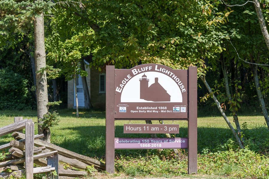
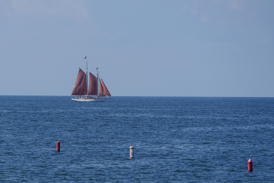
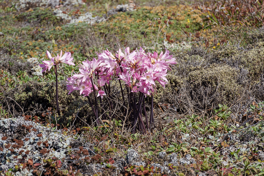
Point Arena Lighthouse
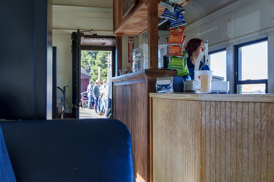
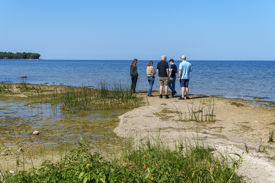
On our way home from Fort Bragg on October 3, 2024, we stopped at the Point Arena Lighthouse, one of about 40 still standing along the 800 miles of the California coastline. Not all of them allow visitors. Our timing didn’t align with the tour, so we wandered around outside and inside the gift shop and museum.

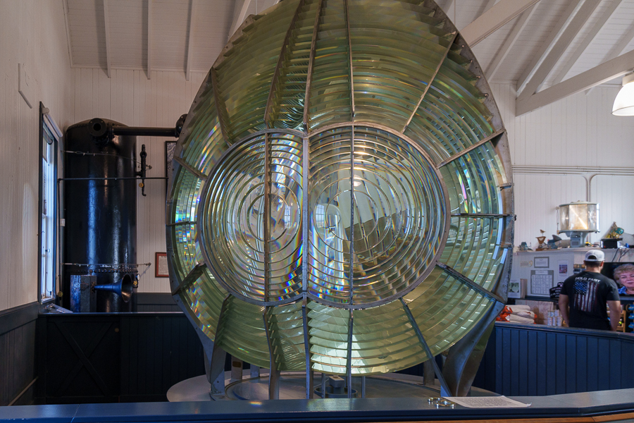
The first-order Fresnel lens wasn’t something anyone walking into the store and museum could miss. The imposing seven-foot diameter lens with nine eyes drew me in for a closer look, and I forgot all about the clothing, jewelry, books, and other items sold in the store.

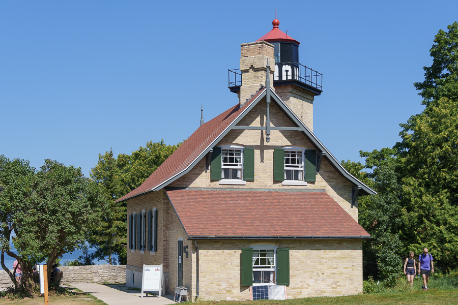
Constructed in 1870, the first Point Arena Lighthouse included a large keepers’ residence. Additional housing nearby accommodated four lightkeepers and their families. The brick-and-mortar structure did not fare well during the 1906 San Francisco earthquake, even though the epicenter was 145 miles away.

Once condemned and torn down, the replacement lighthouse, standing 115 feet tall, began operations on September 1, 1908. To withstand an earthquake, the builder used steel reinforcement rods encased in concrete to build the new structure.

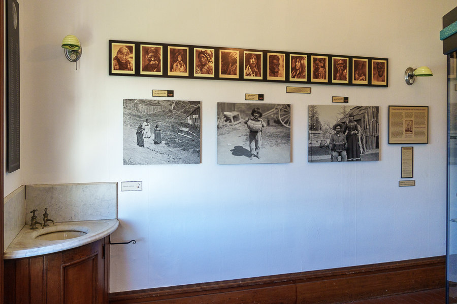
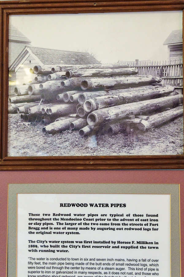
Checking out the information posters
The lightkeepers had to adhere to a strict schedule to keep the first-order Fresnel lens in operation. The keepers had to hand crank a 160-pound weight up the center shaft every 75 minutes. The kerosene lamp needed refueling every four hours, and the wicks required regular trimming.

The keepers’ workload lessened when electricity arrived and replaced the lamp. I wonder how many keepers lost their jobs after the installation of the 1,000-watt electric lamp, powered by a 1/8 horsepower electric motor. As new products became available, so did more changes at the lighthouse. In 1977, a beacon replaced the electric lamp and the lens, and in 2015, an LED array replaced the beacon.
For a unique place to stay, reserve a cottage or studio at the lighthouse. All the refurbished keepers’ housing is available for reservations. The accommodations range from a one bedroom one bath for two people, up to a three bedroom two bath that accommodates up to six.

What I liked best about this lighthouse was the preservation that went into making it what it is today. It didn’t seem to have gone through decades of neglect as much as other lighthouses we have visited. Point Arena Lighthouse Keepers, Inc. has done a wonderful job of explaining the lighthouse’s history. Of special interest to me was how the early keepers kept the light on for the ships passing by at night.

We had wanted to stop at the Point Reyes Ligthouse too, but ran out of time. We’ll catch that one on a future trip. Another adventure awaited us at home.
Horse Racing at the Alameda County Fairgrounds
A few weeks later, we were off to the races. The Alameda County Fairgrounds is home to one of the first 1-mile horse racing tracks in the United States. Augustin Bernal is credited with building the racetrack many years before the founding of the current operators, the Alameda County Agricultural Fair Association.

Here are a few facts:
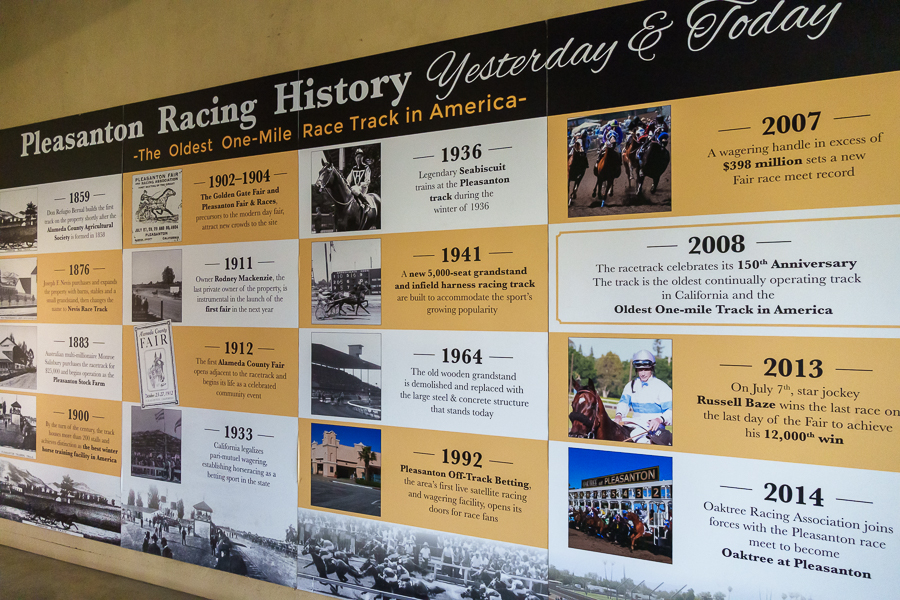
- Originally built in 1858
- Hosted horse racing for the Golden Gate Fair in 1902
- The inaugural Pleasanton Fair and Races commenced in 1904
- In 1912, the modern-day Alameda County Fair began, but the venture was not financially successful. This was due to competition from San Francisco’s 1915 Panama Pacific International Exhibition, and World War I
- California legalized pari-mutuel wagering in 1933
- Businessmen provided funds to repair the fairgrounds and revive the fair
- The Alameda County Agricultural Fair Association was founded in 1939, and the fair returned
- The horses arrived in 1941 during the fair for 9 days and continued through 2024

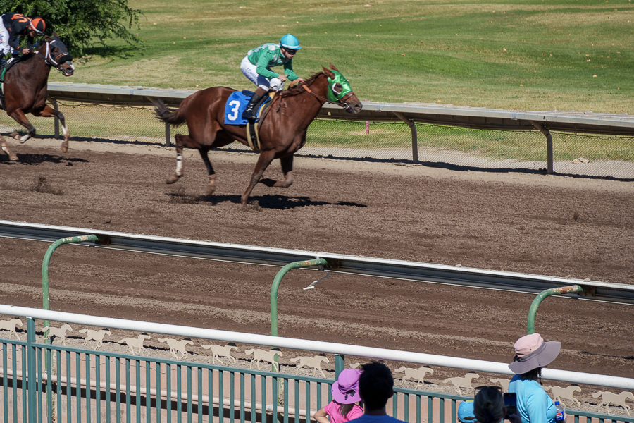
At the time, we had no idea that our day at the races would become a cherished memory. We watched the post parade as the trainers led the horses and their jockeys to the starting gate. It gave us a chance to see which horses we wanted to bet on. Then the announcer called, “And they’re off.”
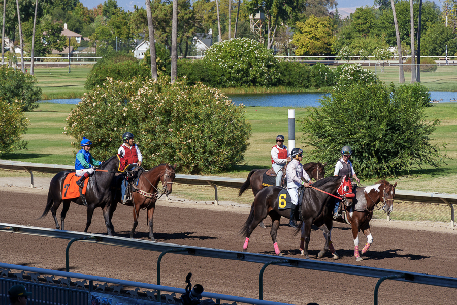
I loved the sound of pounding hooves on the track as they raced by, and I loved the cheers of the people in the stands, and the announcements of which horses were ahead. My excitement increased with each race, even though the horses I bet on never placed.


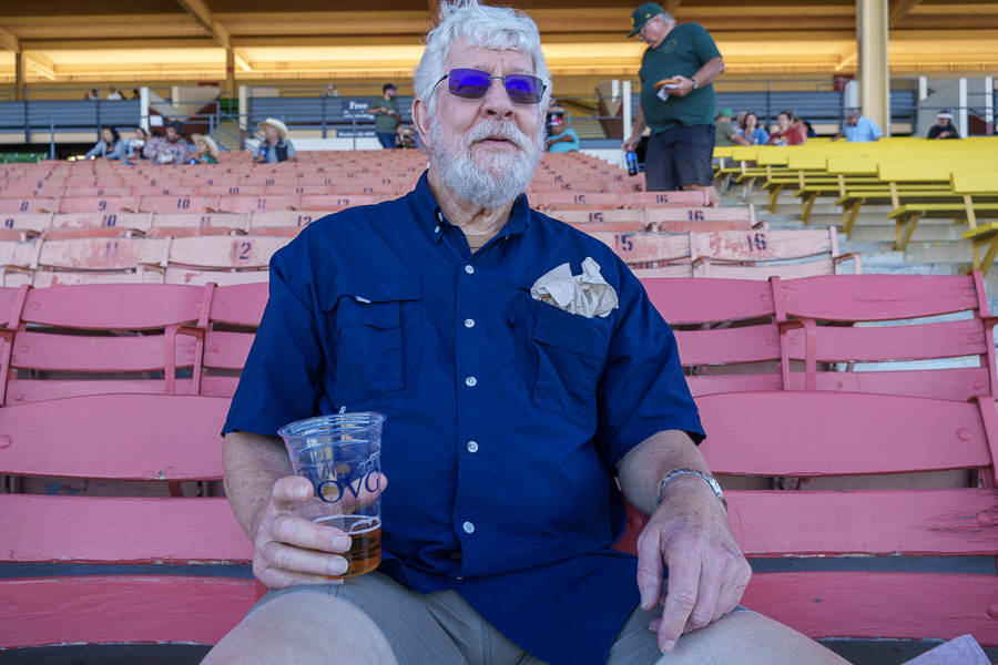
Kevin was the lucky guy in our group for the day. Beginner’s luck or expert at picking winners? Who’s to know? As we walked out of the stands and back to our car, we looked forward to attending the promised future races and getting together for one or more of the races in 2025.

It was a sad day when the Alameda County Fairgrounds announced the cancellation of horse racing at the fairgrounds on March 25, 2025, along with the closing of the stabling facilities. The future of horse racing in Pleasanton had ended.
Two main events led to the closure. First, the California Authority of Racing Fairs (CARF) stopped issuing wagering licenses to fairs for live races. The second was the cost of upgrading the wastewater treatment system at the fairgrounds.
Stable guards, maintenance workers, groomers, and other racetrack employees lost their jobs. Many of the workers lived in RVs on the property, and they had to scramble to find new stables for their horses and places to live.

I wondered how the annual Alameda County Fair, held in late June and early July, and all the other county fairs would fare without the horse racing events. Based on attendance numbers during 2025 compared to 2024, the Alameda County fair enjoyed an increase of 13%. Of course, weather plays a big part in attendance, and 2025 experienced milder weather than in 2024. New programs and activities introduced to replace the horseracing event can also account for some of the increase.
Although the Tri-Valley area may no longer be known for horse racing, it still has a lot to offer. Dublin, Livermore, Pleasanton, and San Ramon offer small hometown amenities for families. Farmers’ markets, parades, outdoor concerts, restaurants offering cuisine from around the world, shopping, history museums, galleries, the Bankhead and Firehouse theaters, parks, trails, hiking, golfing, medical care, and plenty more.
After all our travels so far over the past few years, Jon and I have yet to find a place we would rather live. With or without horse racing, we’re here to stay for now.
Up Next: Unfortunately, 2025 did not see us on the road much. We’re hoping to travel during the second quarter of 2026, if all goes well. Over the next few posts, we’ll share the rest of our 2024 adventures and the few we slipped in during 2025. Then we’ll be on hiatus for a few months.
See you then.
Safe Travels