
We selected the KOA in Kingman, Arizona, for our next stop on our roundabout way home from Big Bend National Park. Now, all we needed was to find something to do.
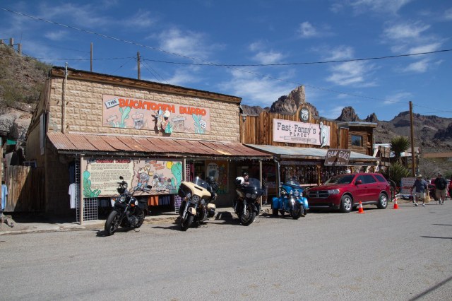
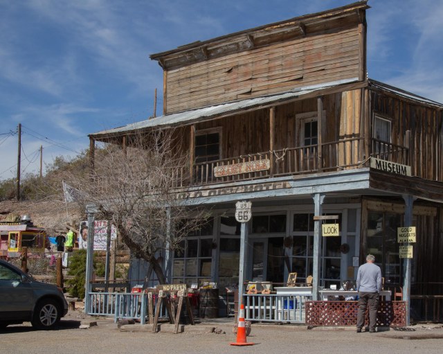
Along Route 66, travelers find plenty of strange and wondrous places to explore. One of those stops is Oatman, Arizona, a living ghost town turned tourist attraction and day-trip destination for Colorado River visitors. My sister told us about the town, so we headed out.
There are two ways to access Oatman along Interstate 40 between Kingman, Arizona, and Needles, California. From the south, pick up Oatman Highway,—a National Back Country Byway and also known as Route 66—off I40 on the east side of the Colorado River. We took the Shinarump Drive and Oatman exit south of Kingman. The route is forty-two paved miles, and vehicles longer than forty feet are not recommended.

Be sure to refuel because there is no gas station in Oatman and drive safely navigating the hills and curves. Burros, bighorn sheep, and other vehicles in the road could spoil a driver’s or bike rider’s day.

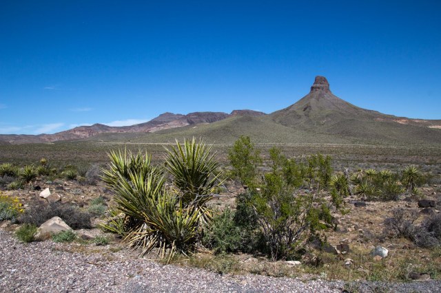
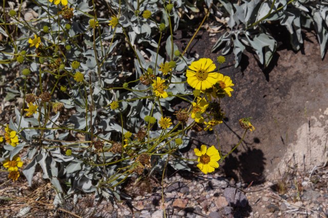
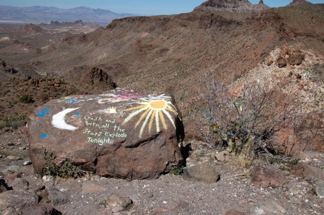
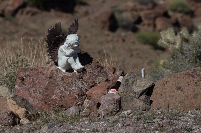
Oatman Highway traverses Mohave County’s Black Mountains. Geological formations, mine remnants, and a mesa used for memorials in memory of family or friends are sights along the way.

The Town of Oatman began as a small mining camp in 1915 when prospectors struck it rich with a $10 million gold find. One year later, the population had swelled to 3,500. From its start and until the government shut down the mines in 1941, the district produced $40 million in gold and some mines were among the largest producers of gold in the western states.
The current population is about 130 people compared to possibly thousands of burros that call the surrounding hills home. Miners brought the burros to town during the heyday of pulling all that gold out of the hills. The animals carried essential supplies, rock, and metals.
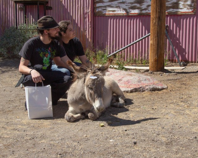
When the mining ended, the burros were left behind to fend for themselves. The life of a burro in these parts is fairly simple. Wake up each morning and walk to town for food and attention from the tourists.

The burros stick around during the day, posing for photos with children and the young at heart and munching on handouts the tourists offer. Many of the stores sell carrots and pellets for feeding the burros. Do not feed them any other food. It could make them sick, and that would not be a pretty sight. Come sunset, they migrate back home.
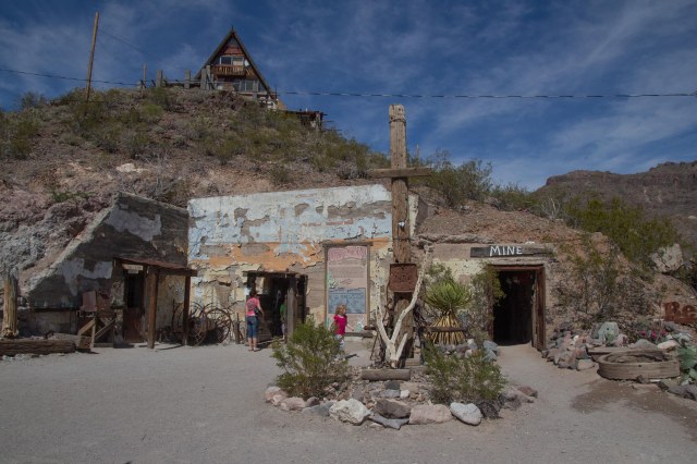
Times were tough for the residents when the mining stopped. They survived by catering to travelers driving between Kingman and Needles. The construction and opening of a new route that bypassed Oatman in 1953, left the town mostly abandoned by the 1960s. Over the years it morphed into the tourist attraction it is today with burros and all.

One might think Oatman got its name from the mining activity. It was actually the story of Olive Oatman’s kidnapping in 1851 by a local tribe that inspired the town’s name.

Olive had traveled through the area from Illinois with her family when Indians attacked, killing most of her family. Five years later, with a tattooed chin, a Mohave tribe released her at Fort Yuma some 200 miles away.
We continued south on the Oatman Highway and came across a group of people riding ATVs, so we stopped awhile and watched as they kicked up the sand.

It looked like fun at first. Then I remembered the time we went with family and friends to Glamis over a Thanksgiving weekend. One day a sandstorm kicked up, and it took us a month to clean the grit from our little 20-foot trailer.

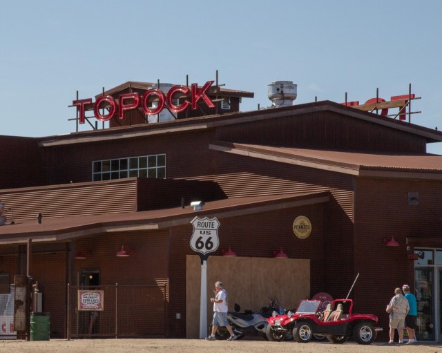
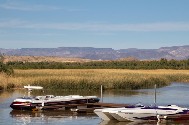
We continued on to Topock Marina where we stopped for a drink and snacks and enjoyed the view of the river, the train, and the marina.

While in Kingman, we also drove into Lake Havasu to eat breakfast with our niece and grandniece at the Red Onion.

Exploring the contents of my purse was of more interest to Bobbi than her food. It was nice having a small child on my lap again. This was four years ago, so I’m sure she’s too big to sit on laps today.
Whew! That’s done. We began our trip on February 15, 2016, and arrived home on March 15. I can’t believe it took twelve weeks to document a four-week trip. I thoroughly enjoyed revisiting the places we explored through the research and writing of this series of posts. It is the trip that inspired me to start the blog in September 2016. My family and a few friends had asked me to keep them updated during our travels. When I realized what a chore it was to write up emails and send out photos via email, the blog was born. It seemed the perfect solution to document our trips, and the bonus was finding a simple way to share my photos. WordPress came to my rescue.
Jon and I thank everyone who has followed along on our adventures these past few years, and we look forward to the day when we can wander around the country again. We have several destinations in mind and are itching to get started.
I’m taking the month of August off to concentrate on another project and hope to have new material at some point.
And with that, let me close this post and the entire Big Bend series with another desert shot as we drift off into the sunset.


See you all in September.

Thanks for your posts. Good luck with your new project. I look forward to reading about your future travels! Have a good month!
LikeLiked by 1 person
Thanks, Betty.
LikeLiked by 1 person
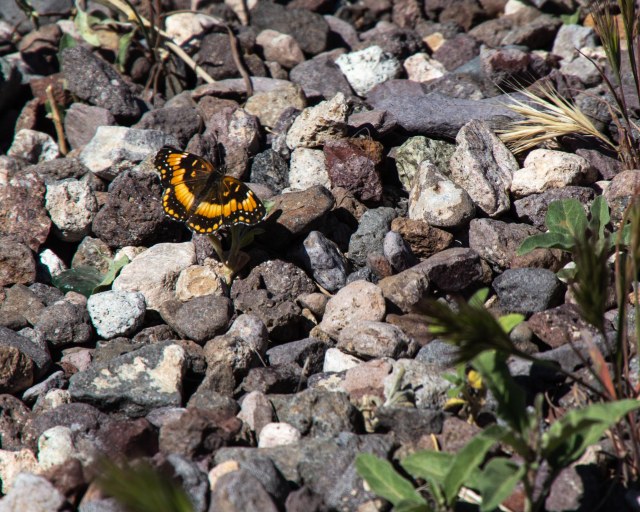
The butterfly in the desert pic was definitely a classic as was, if I am to be honest, the name FAST FANNY’S PLACE.
LikeLiked by 1 person
I’ve heard the old west was quite the bawdy place.
LikeLike
Hi
Wonderful Photo . Amazing place. I like
LikeLiked by 1 person