Our two-week stay was too busy to pack into one post, so here is the rest of the story about our time in Lake Havasu City in October 2022.
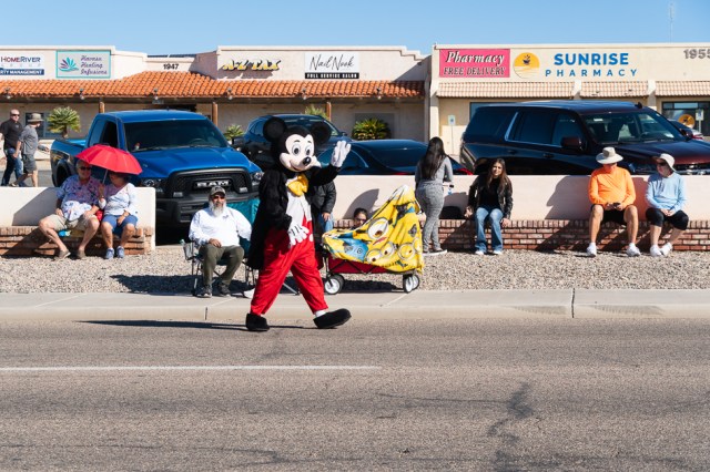
We’re suckers for a parade, especially small-town parades like the London Bridge Days Parade. So we packed up our lawn chairs and headed to McCulloch Blvd. to celebrate the 51st Anniversary of the London Bridge. The parade theme was Life is Better at the Lake.


Later in the day, it was on to the London Bridge Marina to watch the costumed paddle boarders and kayakers navigate the Bridgewater Channel from Rotary Park to the bridge. It would have been fun to join the Annual Witches Paddle, but my wrist hadn’t quite healed enough.


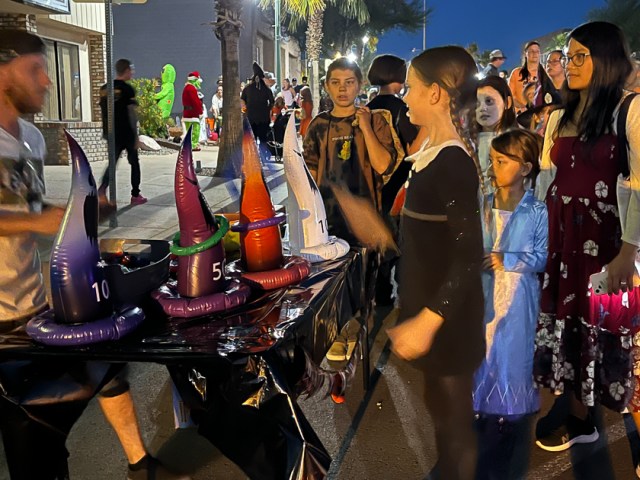
It seemed like the whole town comes out for Lake Havasu Fright Night on October 31. We joined my sister Merri, her daughter Tracy, and her daughter Bobbi. I liked the idea of concentrating the trick-or-treating in one location. Given that many of the homes are built in hilly areas, and some are second homes and unoccupied full-time, gathering downtown worked out well for the kids and parents alike.


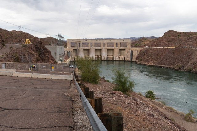
Parker Dam at Take Off Point
After a busy few days, my sister Merri needed time to herself to take care of chores, so Jon and I went for a drive along the California side of the river. We can’t drive that route when we’re pulling the fifth wheel because trailers are banned from crossing over Parker Dam.
Before crossing the river, we stopped at Take Off Point, where there is a boat ramp, fishing piers, shade structure, picnic table, and if the fish are biting, there is a fire pit to cook lunch or dinner. Parker Dam is close enough to capture a few photos of the lakeside of the dam.


We were lucky this great blue heron was unafraid of people. He or she posed for us from its perch on the rocks.

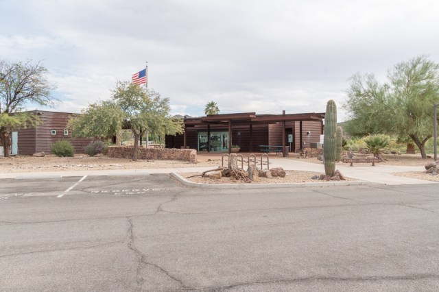
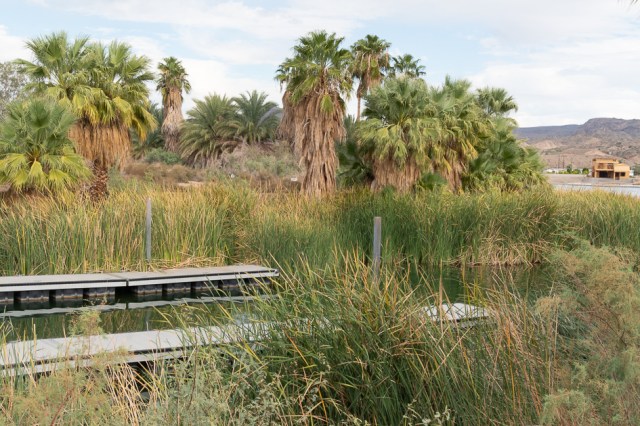
BLM Rock House Visitor Center
Next, we crossed the bridge and stopped to take photos of the river side of the dam before heading south on Parker Dam Road. Boy, how things had changed. The Bureau of Reclamation used to give tours of the dam. Not anymore.
About eight miles south of the dam, we pulled into the BLM Rock House Visitor Center. Neither of us remembered a visitor center along the river. Signs appeared at the entrance of all the resorts along the river, noting that the RV resort or campground operates in cooperation with BLM.

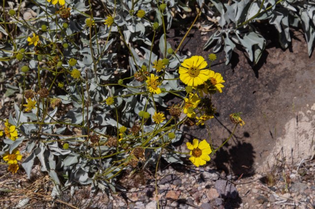
There wasn’t much to the center other than a few displays inside and a clean restroom. The facility host said it had recently reopened after having been closed for a few years. The landscaping looked okay out front, but in the back and on the side, the plants and hardscape were definitely in need of attention.

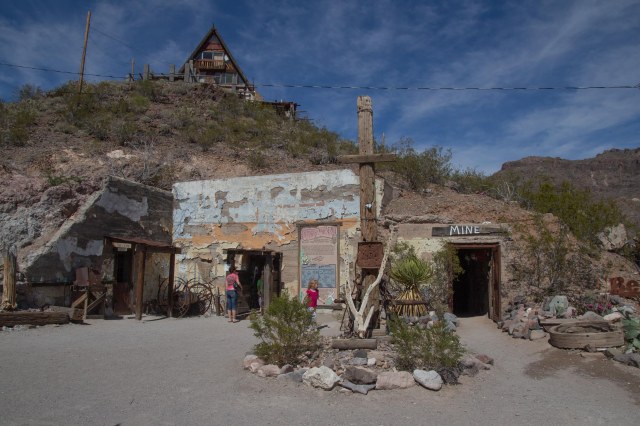
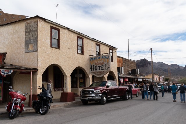
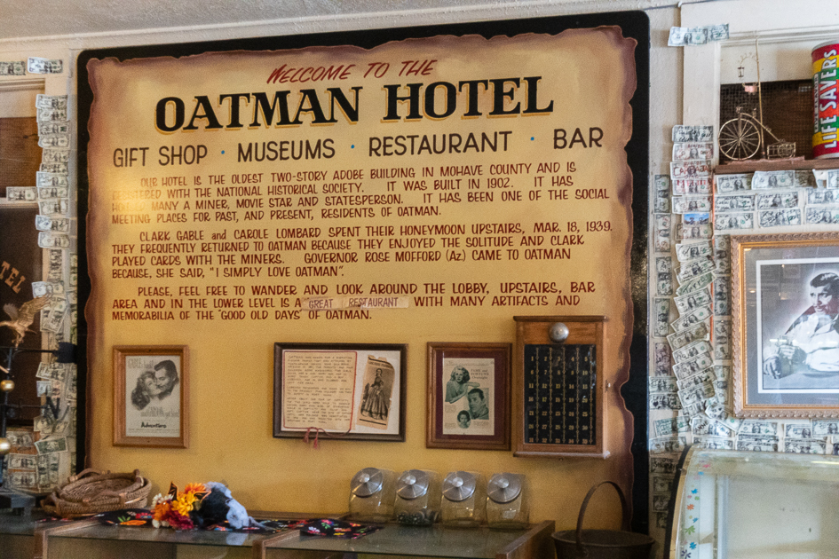
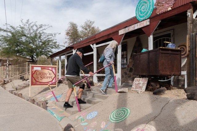
Oatman
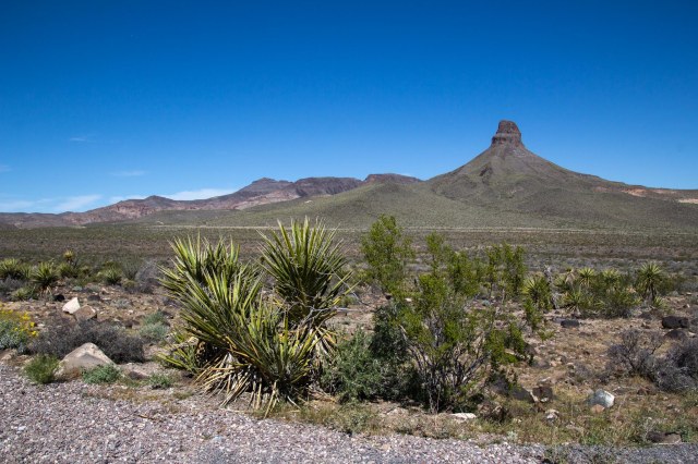
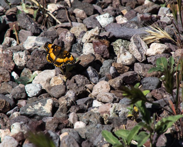
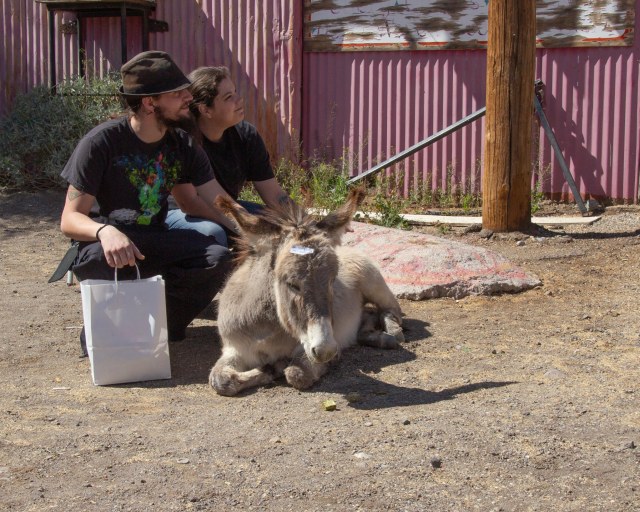
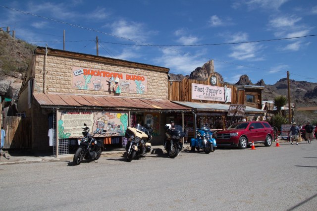
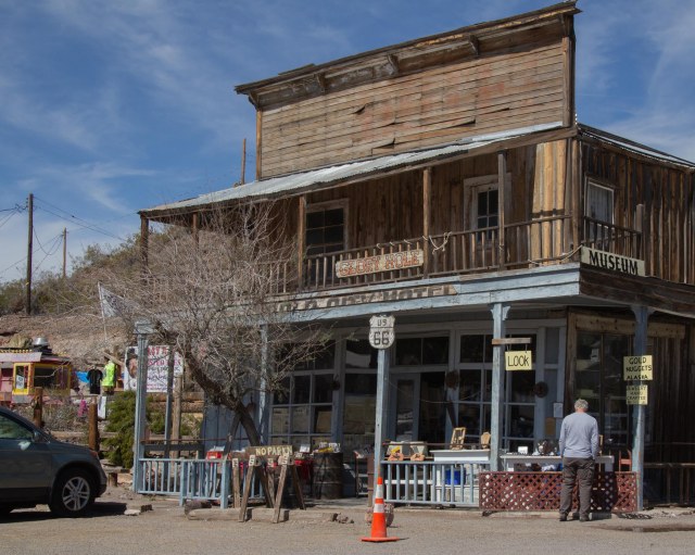
My sister Merri hadn’t been to Oatman ghost town for a while, so we took the drive out there. This is a Route 66 attraction for those interested in traveling the historic route. It was a gloomy day and a bit windy and cold too. The burros were a no-show in town. It wasn’t until we left we saw them moseying toward town. We wandered around, stopped in a few shops, and raided the candy store.


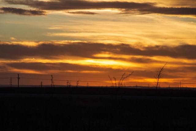
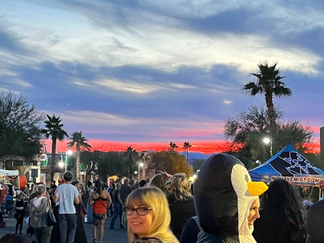
More sunsets
As the sun slips below the horizon, painting another awesome sky, we close out this post and say goodbye to Lake Havasu.

And that’s a wrap of our Lake Havasu visit. What’s up next? Let’s see. We’ve been to the mountains, then to the desert. How about the sea? Join us next time for another stay at Pismo Beach.
Safe Travels