We left Indiana on Friday, October 20, 2023, and headed back to Marshfield, Missouri, to see if someone could tell us why our trailer brakes had stopped working. Traveling over the Rockies without decent brakes wasn’t the best idea.
Adventures in RV Repair
After calling Youngblood RV (a Camping World as of early 2024) for two days without a callback, Jon received an appointment for 1:00 pm on Wednesday at Reliable RV. We dropped the trailer off and walked up the street where we had the choice of McDonald’s or Beef a Roo. We were glad we selected the unknown. My grilled turkey with pepper Jack cheese, avocado, cream cheese, lettuce, and tomatoes on a wheat bun was far more delicious than what McDonalds offer.

Upon our return to Reliable, they told us the fifth wheel was not the problem, it must be the truck. On to the GMC dealer, where they gave us a 10:00 am appointment for the next day. Not wanting to make the drive back to Laura’s, we pulled into the Springfield Cracker Barrel and settled in for the night.
The tech worked on the truck all day Thursday and half the day on Friday, replaced three different parts—at a cost $2,500. They encouraged us to go to Youngblood RV even though they never returned our call. “Tell them we sent you.”
The tech and his crew at Youngblood RV ( a certified Grand Design dealer) checked everything for about an hour. When I asked if the problem could be with the cable between the truck and trailer, they all shook their heads and said no. They couldn’t do anything else for us until December, so we resigned ourselves to making the trip home without trailer brakes. We were happy they didn’t charge us for their time. Defeated, we drove back to Laura’s place to wash clothes and plan our trip home.
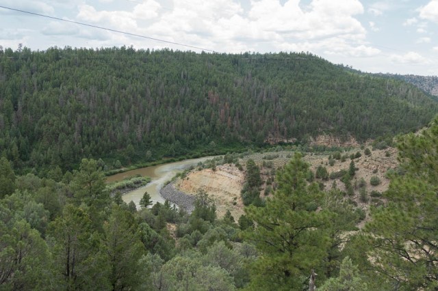
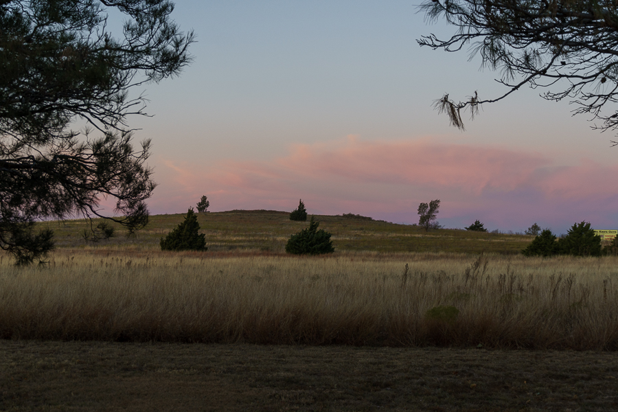
We left Marshfield, Missouri, on On Halloween morning. After passing through Oklahoma and Texas, we stopped to check out Santa Rosa, New Mexico, and Williams, Arizona, to ride the train to the Grand Canyon.
In Shamrock, Texas, an iconic National Register of Historic Places came into view. The original building, built in 1936, fell into disrepair and finally closed for business in the late 1990s after Route 66 was decommissioned in 1984. First National Bank of Shamrock purchased the land and gave it to the city.

The city had the building historically restored to its original glory and adapted for a museum, visitors’ center, gift shop, and chamber of commerce. The 2006 animated film Cars used its image for Ramone’s automotive body and paint shop. Ramone was a Chevrolet Impala lowrider.
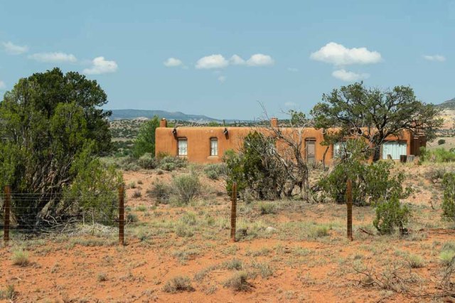
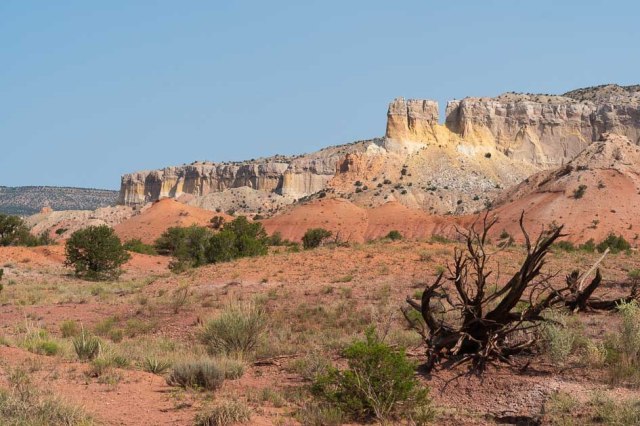
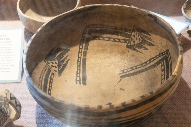
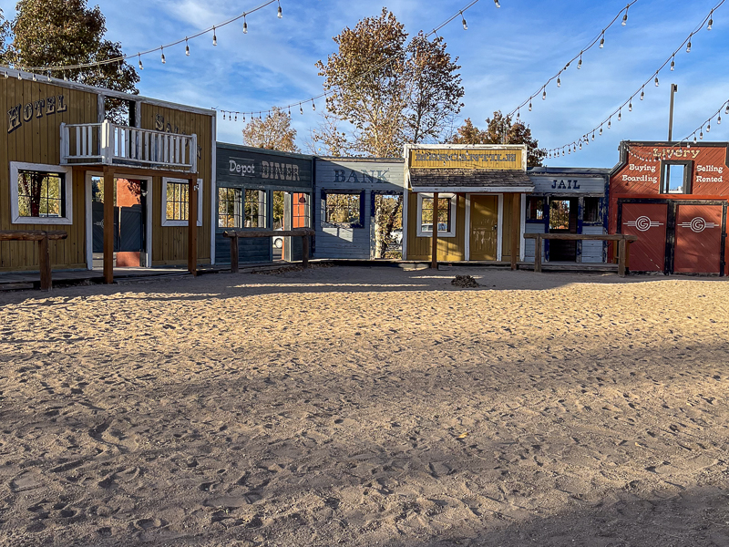
Santa Rosa, New Mexico
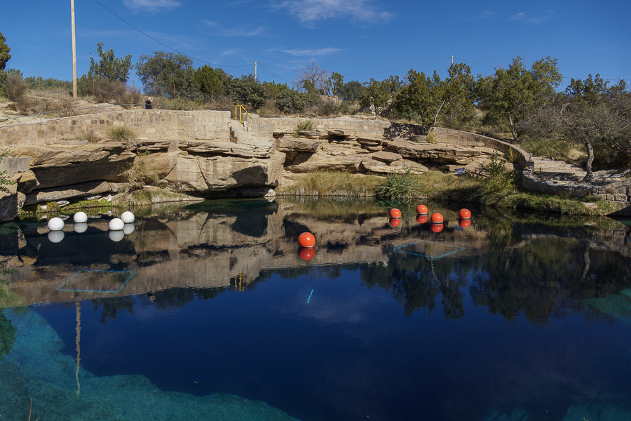
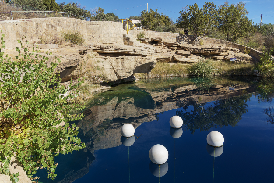
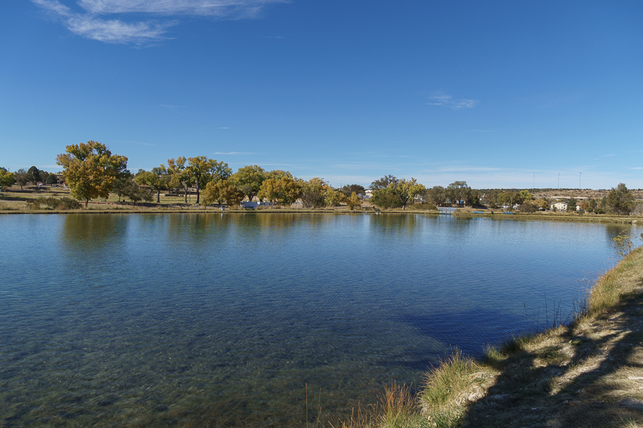
Between Albuquerque and Tucumcari sits Santa Rosa, the county seat of Guadalupe County, New Mexico. We stayed a few days exploring the Blue Hole, Route 66 Museum, and grabbing a meal at the Comet II Restaurant.
Blue Hole
The Blue Hole is a diving mecca where divers can learn and practice their skills.


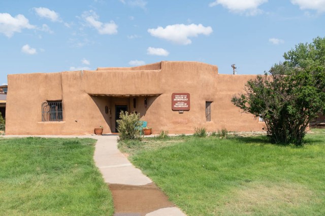
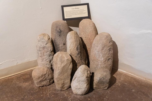
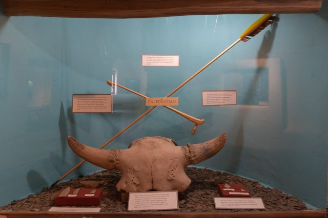
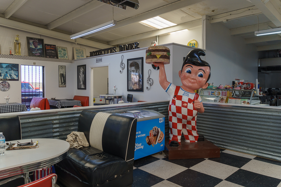
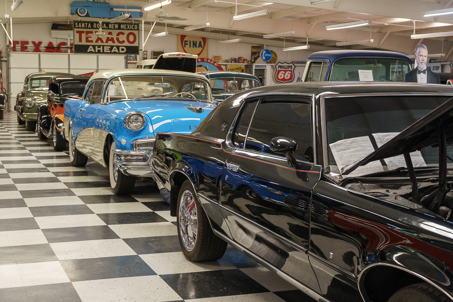
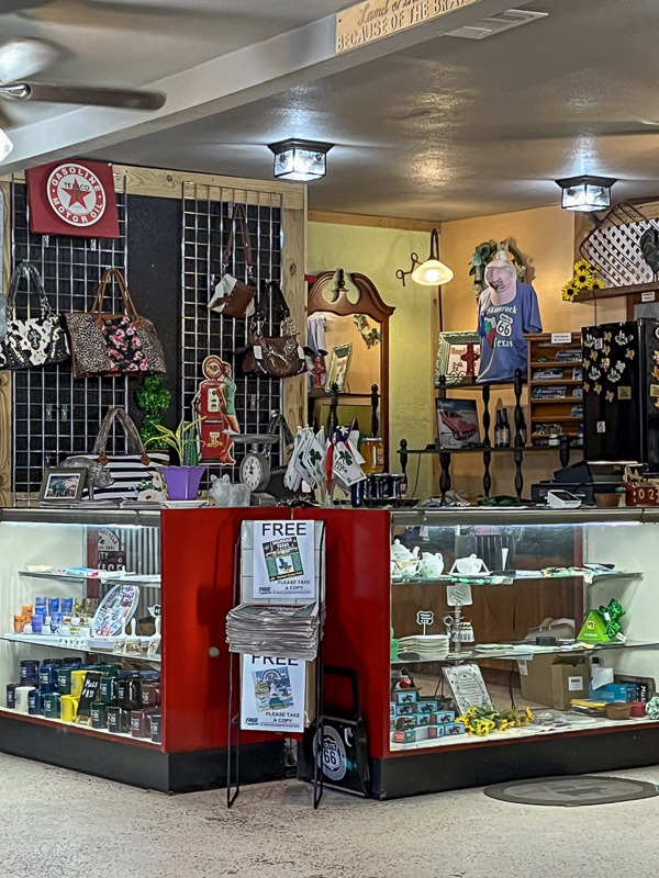
Route 66 Auto Museum
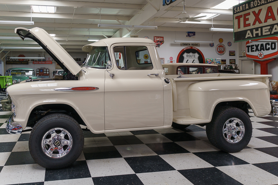
I found my favorite truck in Santa Rosa, New Mexico. With thirty privately owned cars on display, the choice was not easy. Visitors will also find a snack bar and a boutique with fun things to buy.

And here she is, my favorite of them all. A 1957 Chevy Pick Up 4X4 350 engine, 4 speed automatic, power steering, power brakes, and air conditioning. Too bad it wasn’t for sale. I would have loved to drive it around town.
Northern New Mexican Cuisine Restaurant – The Martinez Family since 1927
Comet II Restaurant serves up Northern New Mexican cuisine. The enchiladas, chips, and salsa quenched my craving for Mexican food.

A “must do” here is to pay a visit to the restroom. I’ll let the photos speak for themselves. Someone sure had fun designing the decor.


Williams, Arizona
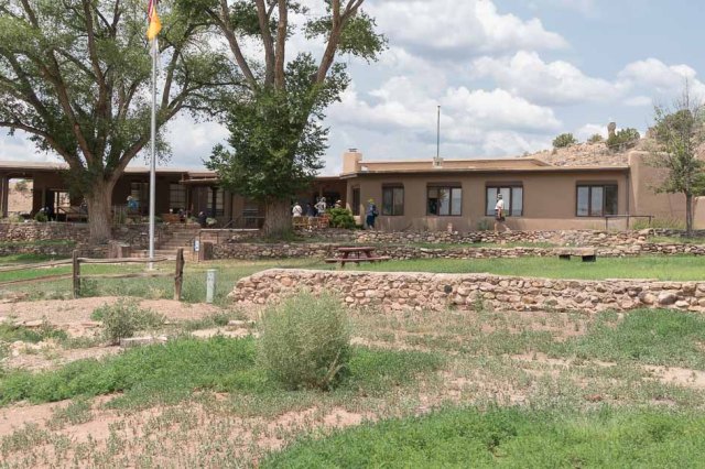
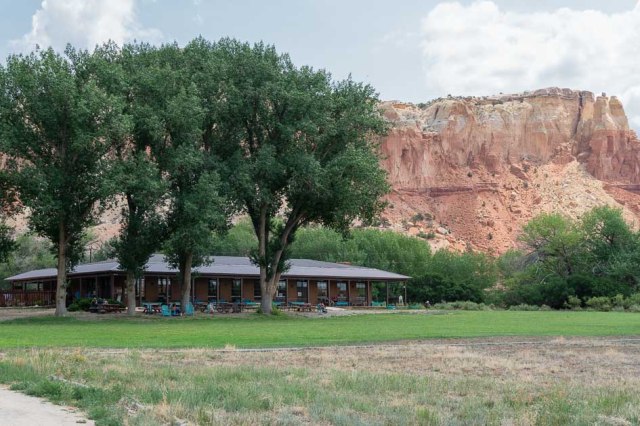
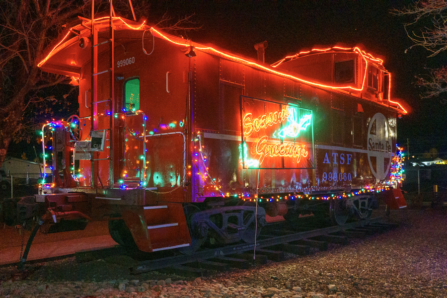
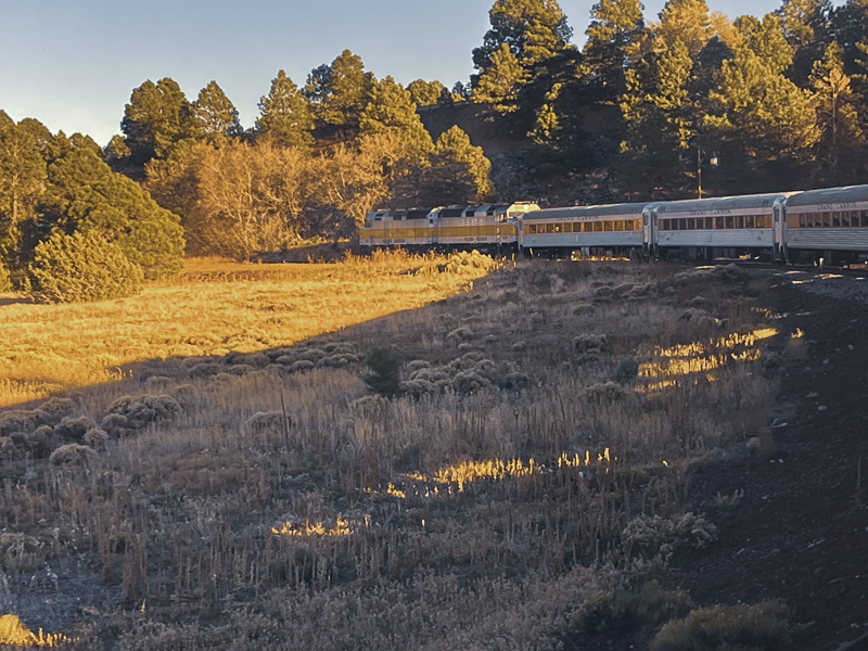
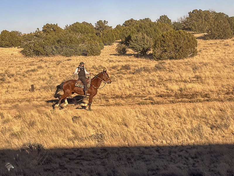
Our home away from home in Williams, Arizona, where we caught the Grand Canyon Railway to the canyon. They have packages that include train tickets plus lodging at the Grand Canyon Railway Hotel or one of the RV sites.


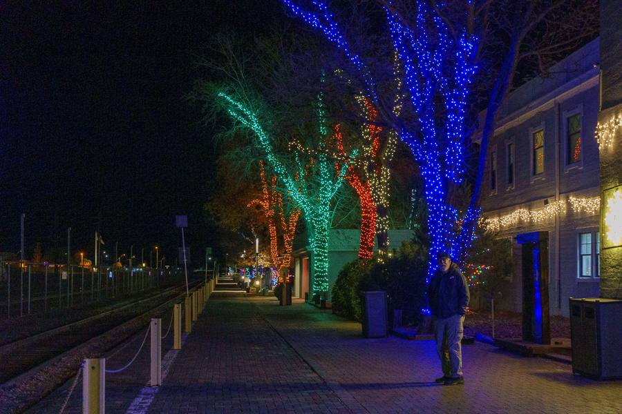
They start the holidays early in Williams, Arizona. At night, the lights sparkle bright with Christmas colors galore.


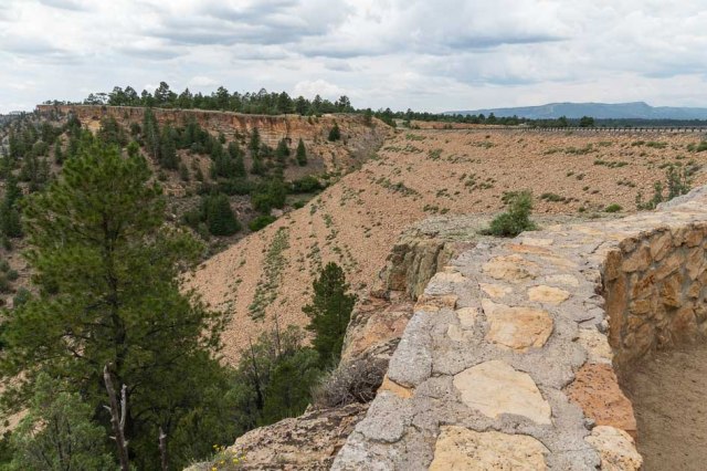
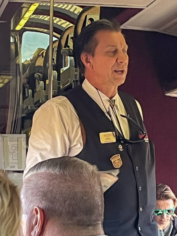
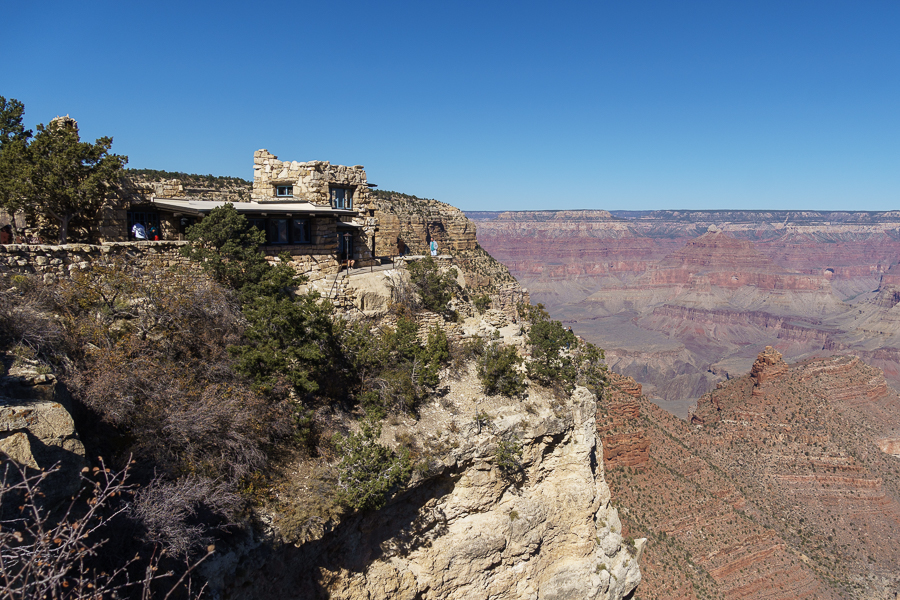
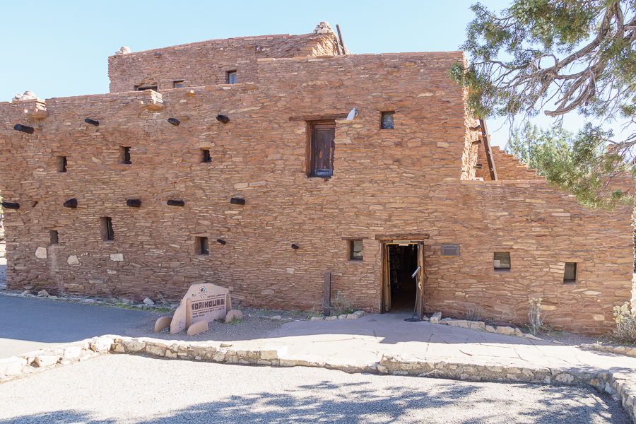
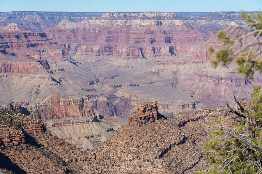
Grand Canyon
Oh, boy. Another train ride. I’ve always wanted to ride the train to the Grand Canyon. Here was our chance.


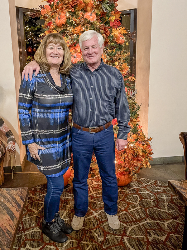
While in Williams, we met up with my step-sister, Valerie, and her beau. We had a nice dinner at Western View Steakhouse at the Best Western.

Back Home
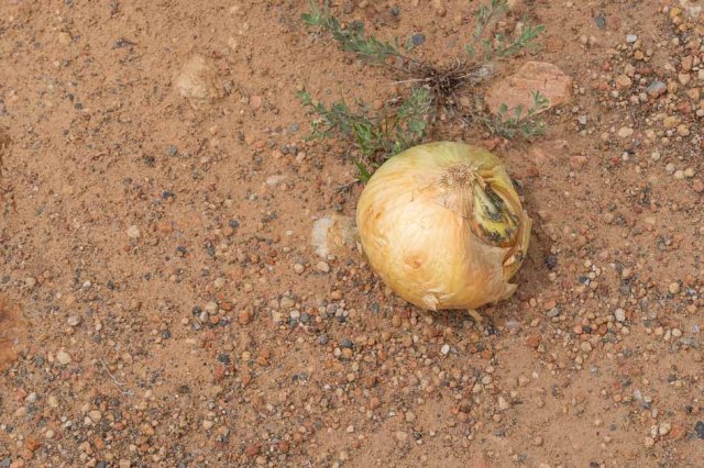
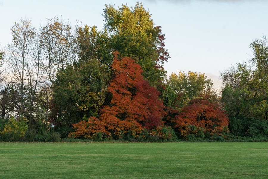
We arrived home on November 12, 2023, to the sight of blooming sunflowers and carrots ready to pick.


A week later, our local Grand Design dealer resolved the trailer brake issue. Can you guess what the problem was? Yes, the cable in the trailer hitch housing lacked proper attachment. Aren’t connections supposed to be the first thing to check when something doesn’t work?
That’s a wrap for our 2023 Fall Adventure. We hope you all enjoyed coming along with us on the trip.
Up Next: I’m taking a short hiatus to catch up on a few projects and will return with yet another train ride. This time in Napa, California. See you then.
Safe Travels.