Summer 2021 New Mexico Tour: Going Home

In this episode, we wrap up our trip to New Mexico. Thursday, July 22, 2021, was decision time. Do we turn the truck for home? No. We weren’t quite ready. Not yet. Hey, Twin Falls was only about 720 miles away, albeit mostly north rather than west. We could make that drive in a couple of days. So, the next day, we loaded up, hooked up, and climbed into the cab.

Depiction of Powell and his crew on an expedition at the Wesley Powell River History Museum

Green River

Shady Acres in Green River, Utah, looked like a good place to stop for a couple of nights. We’d have time to catch up on the laundry, the museum in town looked interesting, and we could visit Green River Coffee Shop. We had picked up a nice batch of freshly roasted decaf coffee beans and pastries at the coffee shop the last time we drove through town.

Campsite at Shady Acres
The Green River Golf Course and farm land surrounds the RV park.
From the museum looking north up the Green River
J.W. Powell River History Museum entrance
Panels and artifact displays tell about the river’s history, geology, and the people who lived and ran the river.
Details in the statue’s base depict scenes from Powell’s expeditions.
This metate is only one of many artifacts displayed.
Running Rapids
Dinosaur exhibit with Utahceratops gettyi
The Boat Room shows different styles of river boats that navigated the rapids, including this bull boat. American Indians and frontiersmen used boats made of wooden frames and covered with buffalo hides.
The boat No Name met its fate at Disaster Falls when it broke in two during John Wesley Powell’s first voyage down the Green and Colorado Rivers. No lives were lost, only cargo.
This was Norman Davies Nevills boat used in the 1940s.
Sample of paintings in the art gallery. Carol Bold paintings: Reflections Adrift, Winding Around the Bend, and Preserve the Reserve.

Outside, next to the museum, is a walking path along the river.

Main Street’s Green River Bridge

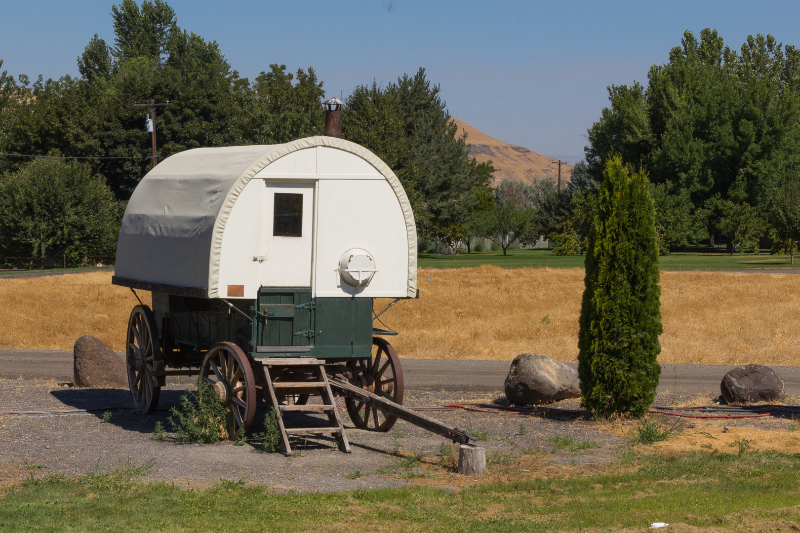
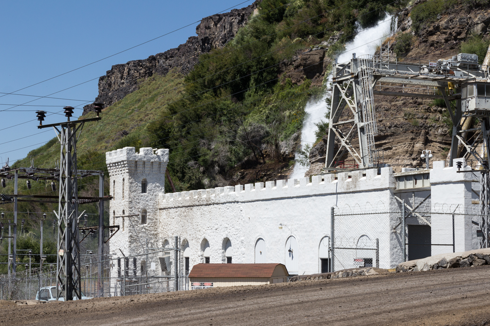
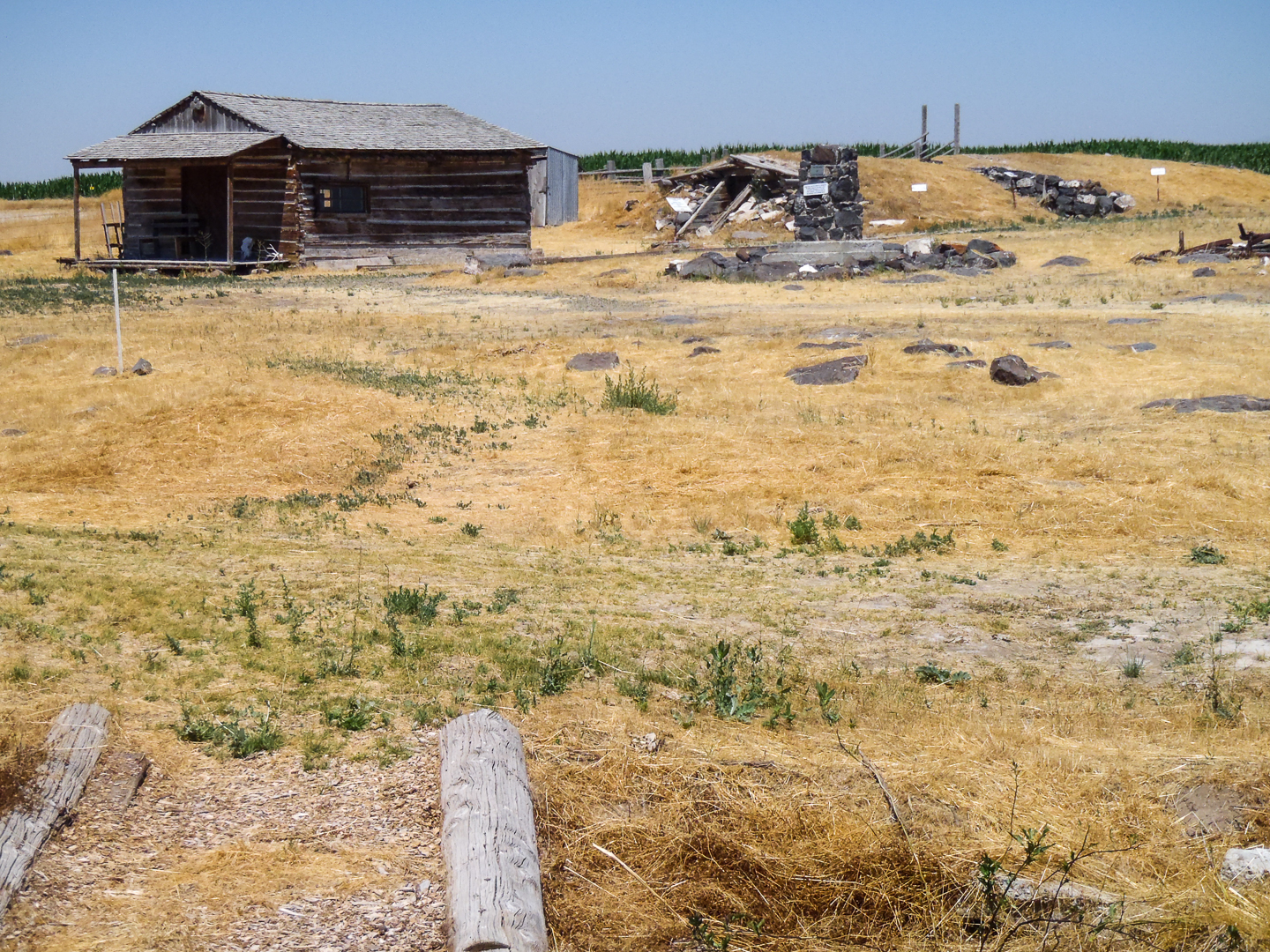
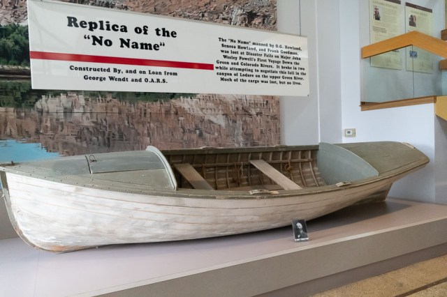
Here are a couple of unexpected sights in the museum’s parking lot.

Need a charge traveling I70 in Utah? Tesla has a charge station in the museum’s parking lot.
Watermelon used as a float in the Melon Days Parade?

Sadly, there were no coffee beans for sale on this trip, and the muffin we shared was not what we remembered. Oh well. We were still in the middle of a pandemic and our laundry piles were waiting for us back at the trailer.

John Wesley Powell River History Museum

Jon and I spent a good part of two hours exploring the John Wesley Powell River History Museum. Betsy Hatt, “in memory of Vail Hatt and his commitment to the betterment of the community and tourism,” donated the property where the museum stands.

Conceived in 1987, the 23,000 square foot museum opened its doors in 1990. It is owned and operated by the city in partnership with the John Wesley Powell River History Museum, Inc., established in 2008 as a non-profit organization.

We enjoyed wandering through the historical exhibits and reading the information panels, as well as the art exhibit and the science exhibit featuring dinosaurs. The museum’s focus is on the impact that exploration of the Green and Colorado rivers had on the history and culture of Southeastern Utah.

Visitors will find historical exhibits detailing the Crossroads of the West, John Wesley Powell, the River Runner’s Hall of Fame, and the Boat Room. Temporary art exhibits are also available for viewing.

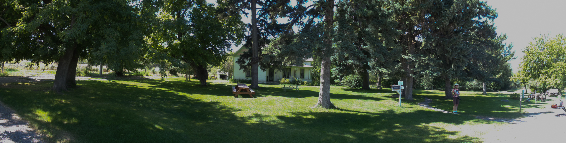
One of the most notable observations we made about the town of Green River was how neat and clean everything was. Most of the properties, whether occupied or not, had been swept clean of debris and landscaped with flowers planted in barrels.

Following our two-night stay in Green River, we headed north to Twin Falls, Idaho, where our friends Sonia and Marv Baima had moved to from Sparks, Nevada.

Twin Falls, Idaho

On our way to Twin Falls, we stopped for lunch at the Tangerine Eatery in Price, Utah. They serve healthy choices for breakfast, lunch, and dinner. And patrons will find plenty of toppings for their favorite frozen yogurt selection.

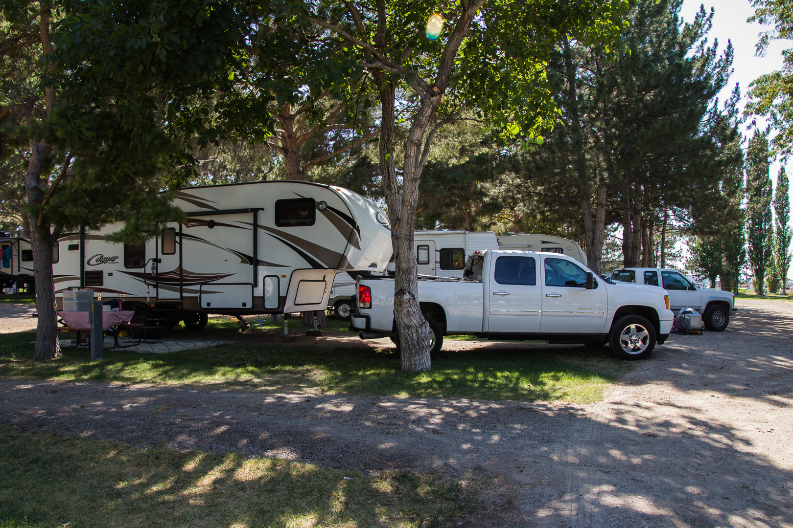
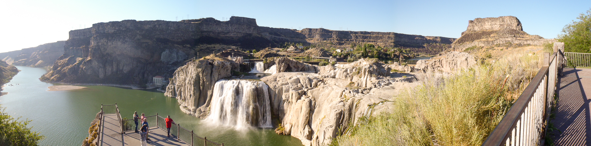
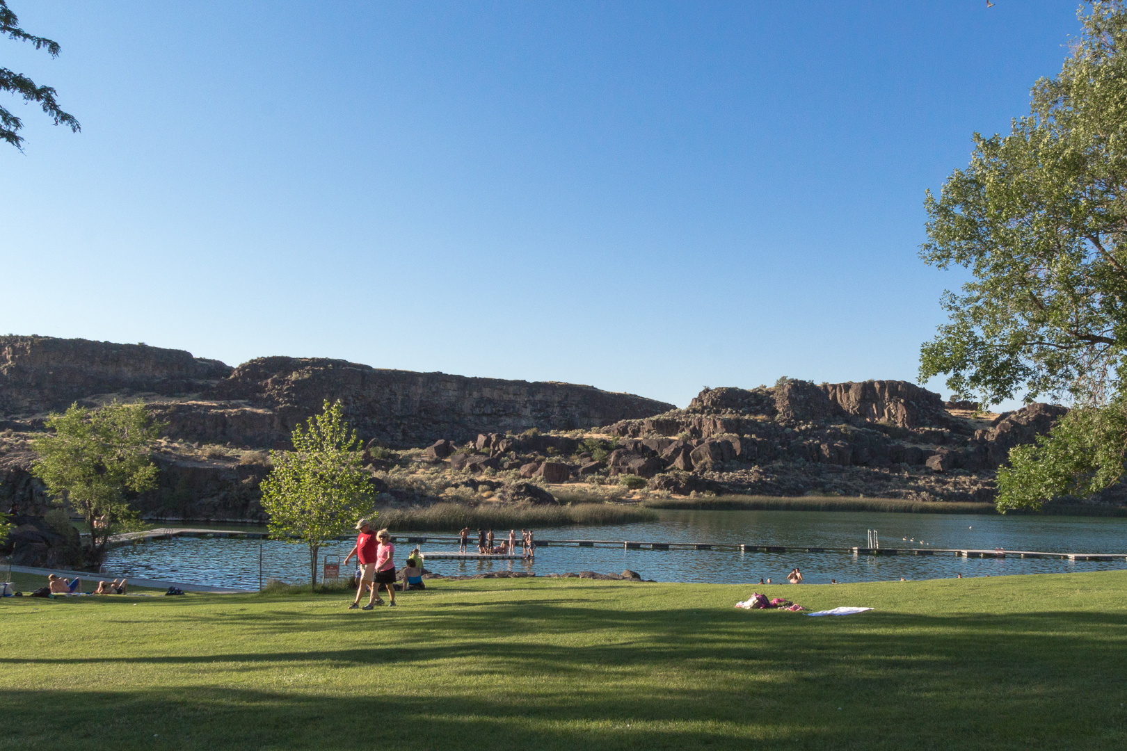
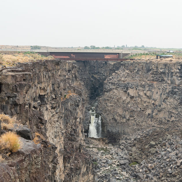
We arrived at Twin Falls KOA around 6:30 p.m. after a long drive from Green River. We met up with our friends, Sonia and Marv Bamai for breakfast then went to Shoshone Falls to gawk at the Snake River rushing over the boulders and cliffs. Then headed downtown for good eats and beer at Koto.

Rainbow in the Mist 1
Rainbow in the Mist 2

Historic Twin Falls Downtown

Twin Falls, founded in 1904 as a planned community, is the county seat of Twin Falls County, Idaho, and has seen significant growth and development since 2006. During our visit, we noticed several new shopping centers and recently built homes.

All’s Quiet in Downtown
Need a pot, pan, or other kitchen goodies and gadgets? Rudy’s has you covered.
Guess the painter hasn’t gotten to the upstairs part.
Check out Koto for good food and beer.
No crowds here today.
Take a seat and watch the water dance.
The Surveyor – A Vision of Tomorrow is a bronze sculpture of The Twin Falls surveyor John E. Hayes created by Dave LaMure Jr. Hayes surveyed the town in 1904.

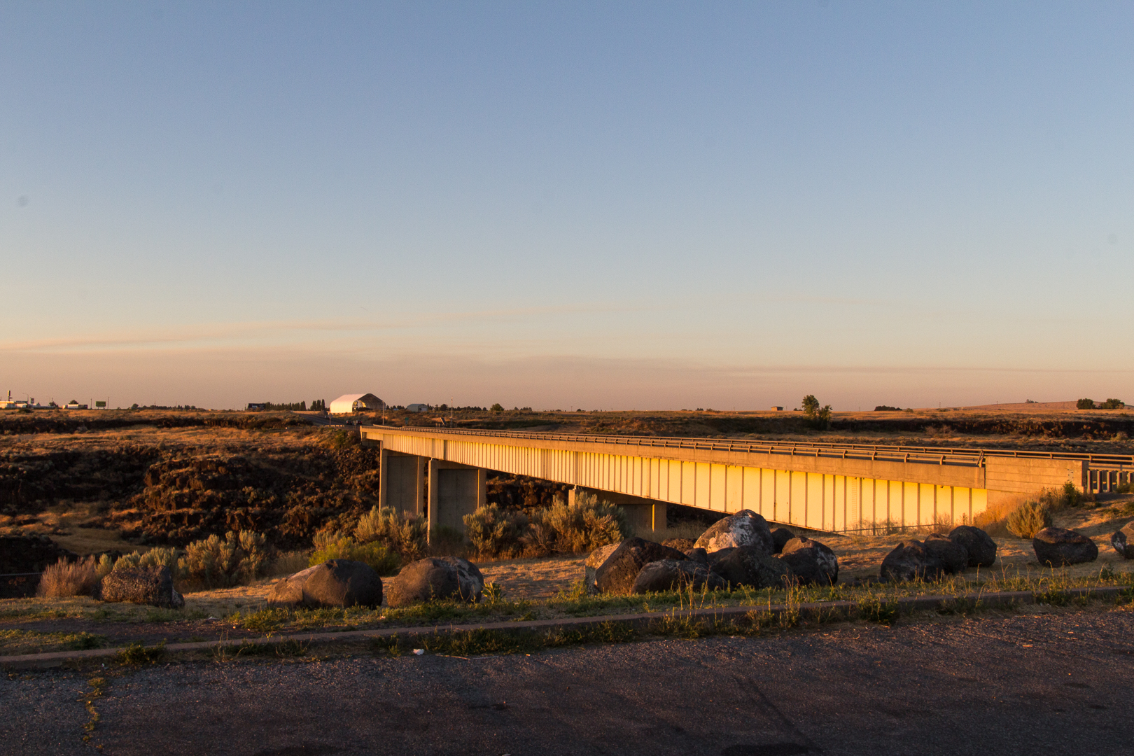
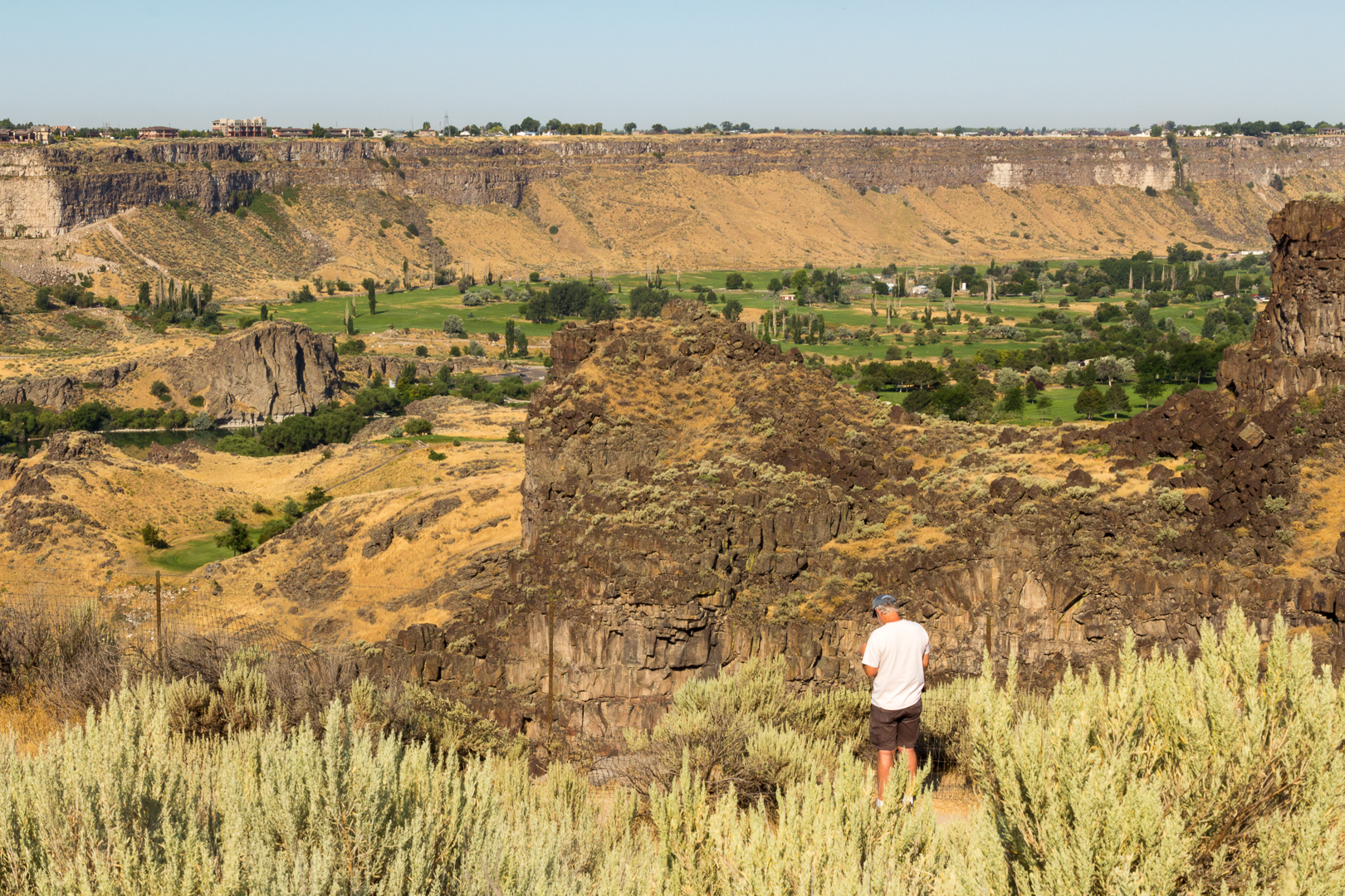
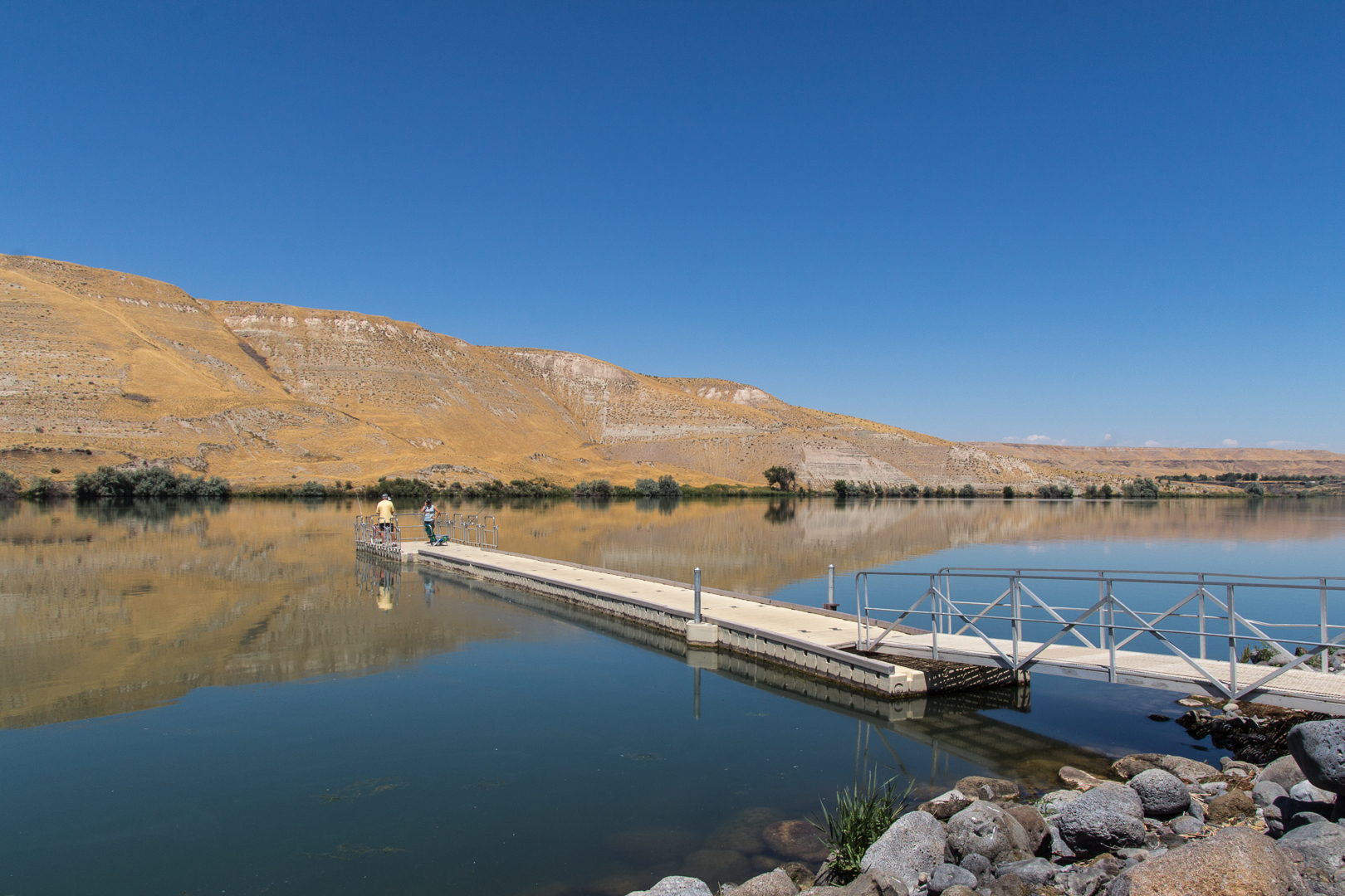
The next day, a hike to the Devil’s Washbowl Outlook along the Snake River helped us compensate for the food and beer intake of the previous day.

Looking from trail back to kiosk and parking lot
Water everywhere
Devil’s Washbowl from a distance
Devil’s Washbowl
View from the end of the cliff

We were glad we had left for our hike early in the day. The air conditioning was a welcome treat when we returned to the car, so we opted for a drive to Murtaugh Lake—I forgot to write the name down, so I could be wrong.

If my memory is correct, this is Murtaugh Lake. Feel free to correct me if I’m wrong.

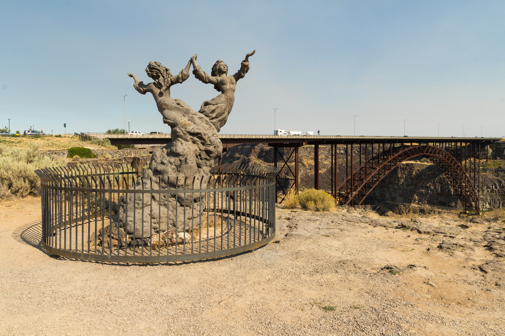
For more information on Twin Falls, Idaho, check out our blog post [add link]

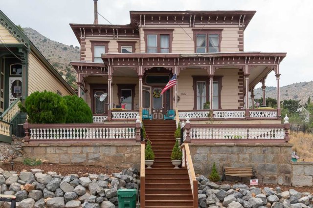
Sparks and Victoria City in Nevada

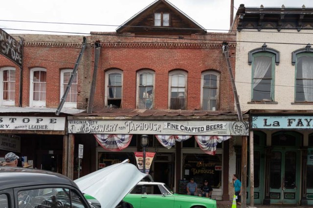
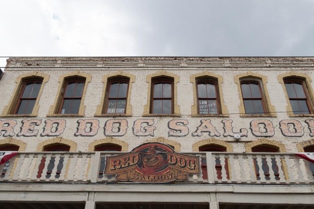
Our next stop was Sparks, Nevada, to meet up with Sonia and Marv again at Virginia City for the Hot August Nights event. And as usual, we stayed at Sparks Marina RV Park.

Picnic and beach area at Sparks Marina and Lake

It’s always a treat to see the Victorian homes in Virginia City.

Reminds me of the Addams Family House
Cozy yellow and green cottage
Love this house with its wrap-around porch

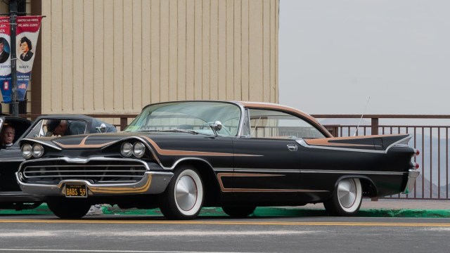
And now for the cars.

The detail on this woody captured my attention.

Woodie, woodie, you so fine!
Updated wood dash with modern digital gauges
Put together like puzzle pieces
The beats of rock-n-roll with Lady and the Tramps
1959 Desoto
Beep, beep goes the jeep
Shelby GT 500 Mustang
Mechanic at work
Marv’s 1967 Jeep Gladiator J-3000
Some of the buildings are in need of repair
Meet us at the Red Dog Saloon
The Way it Was Museum will stir up your memories

And finally, our 2021 Summer New Mexico Tour comes to an end. We’ll be back next time with our 2021 fall tour. Hope you join us as we whirl around Southern California and Lake Havasu City, Arizona, to check in with family and friends.

Safe Travels

Idaho Falls, Idaho

On Friday, July 29 as we followed the emigrant trail headed east on Interstate 86, we were channeling our inner Willie Nelson and singing “On the Road Again.” So far, the truck troubles we encountered in Sparks and Elko no longer conspired against us.

We stopped at Massacre Rocks State Park and Register Rock to eat our lunch and have a quick look around. Panels outside of the visitor center, tell the story of Massacre Rocks, a narrow passage along the Oregon Trail (now Interstate 86) where emigrants often stopped to camp. The boulders, also known as “Gate of Death,” or “Devil’s Gate,” were so named because emigrants feared attacks by the Native Americans. Documented accounts of massacres and attacks took place east and west of the rocks during the 1850s and 1860s. Register Rock, protected by fencing and a shelter against the elements and persons intent on destruction, contains the names and dates of many emigrants who passed through the area.

As Jon and I guessed, we found Idaho Falls similar to Twin Falls with an abundance of water and farmland. Once we had settled in at the Snake River RV Park and Campground, we headed downtown where we found a park alongside the Snake River. We marveled at the smooth, calm waters on one side of the river, which flowed over the side onto rocks and boulders creating the falls. It definitely looked man made, but for what purpose?

We continued along the river walk where tall trees provided shade along a path lined with benches. We passed families with strollers, couples holding hands, and a father and son with fishing poles wagging over their shoulders. Then we came across the Idaho Falls Hydroelectric Bulb Turbine Project sign. I had never heard of this kind of power plant, could we possibly take a tour? We would have to wait until Monday to find out.

img_0980-2
Mr. Moose at the Greenbelt

Needing to replenish our fresh fruit and vegetable bins, we checked out the Saturday Farmers Market. At first, we were disappointed when crafts dominated the booths. But it turned out that the empty lot on one side of the street was for the craft vendors and the produce vendors were set up in the parking lot behind a bank, along with face painting for the kids, kettle corn, bread, jams, and sauces.

Afterward, an offer of “Free Taters for Out-of-Staters!” enticed us to visit the Idaho Potato Museum. They have a short video on growing and cultivation of the potato. A timeline depicts the introduction of the potato from the Andes to Europe by the conquistadors in the 1500s through the early 1800s when Henry Harmon Spalding, a Presbyterian missionary, introduced the potato to the Oregon Territory in 1836. Also included is the development of the Russett Burbank, or Netted Gem. Historians believe Mormon colonists were the first settlers to plant, grow, and harvest the tuber three years before Idaho joined the Union as a state.

img_0984-2
Idaho Potato Museum

A few things I learned about potatoes:

  • the potato plant and its berry-like fruit are poisonous to animals and humans,
  • farmers can harvest the spuds anytime after the plant dies back and before the first freeze,
  • don’t store potatoes with onions because they emit gasses that cause faster spoilage when they are together.

Oh, and our reward for touring the museum? A box of Hungry Jack Cheesy Scalloped Potatoes. Yum! A side dish to pair with barbecued chicken.

Craters of the Moon National Monument and Preserve was our next outing. As we drove up the road toward the park, visions of the Hawaiian Islands lava flows came to mind when we spotted miles and miles of lava rock, cinder cones, and buttes created between 2,000 and 15,000 years ago by the Great Rift volcanic eruptions.

OLYMPUS DIGITAL CAMERA
Panoramic View Looking East

The monument, at an average elevation of 5,900 feet above sea level, includes three lava fields and about 400 square miles of sagebrush steppe grasslands for a total area of 1,117 square miles. The monument receives between 15-20 inches of rain per year that eventually appears in springs and seeps in the walls of the Snake River Canyon. Now we know at least one source of all the water we saw in Twin Falls, Idaho.

Craters of the Moon was the best example of the National Park system I have seen. With well-maintained paved roads, above par signage with stats on trail mileage, elevation increases/decreases, and even the width of the path, it looked to be a model for other facilities. The park service is currently redoing the campground and as I imagined the landscape draped in moonlight, the word spooky came to mind.

We poked our heads in Dewdrop Cave, but we weren’t prepared like other visitors with their headlamps strapped around their foreheads. A permit is also required to enter Dewdrop and three other caves that spelunkers can explore. I think my favorite part was seeing the out-of-place pine trees, monkeyflower, syringa, and bitterroot growing from the basalt on the older lava flows, the little ground squirrels scurrying around, and pygmy rabbits blending in with the scenery.

We would like to return to Craters of the Moon someday, spend more time, maybe even venture into a couple of caves, and experience the place at night. Although, snagging a spot at the new campground might be a challenge.

On our way back to base camp we stopped at the yellow structure created by John Grade titled Spur, which was inspired by the lava tubes at Craters of the Moon.

img_9321
Spur Created by John Grade

Further up the road in Arco, stands a hill speckled with numbers. Each year, high school seniors paint the year of graduation on the hill.

img_9324
Arco Graduation Date Hill

The day had arrived for our private tour of Idaho Falls Power. We learned of the Teton Dam collapse in 1977 that destroyed an existing electric power plant along the river and that the construction of the Bulb Turbine project occurred between 1978 and 1982. Matt Evans, our tour guide, led us downstairs to a hatch in the floor that allowed us to see a turbine casing. They are similar in size to the ones used at Shasta and Hoover dams except they are placed on their sides, not upright.

The water flows through the facility at one end (picture with branches in the water) to power the turbines and exits at the other end (picture with swirling water) to continue its journey to Twin Falls and beyond. We had driven by the building a few days earlier and never guessed there was a power plant below the river surface. The distinctive landmark is the orange and white water tower shown in the farmer’s market picture above.

The apparatus we saw along the river walk diverts water for use at the power plant and releases the excess to create the falls. The plant channels 6000 cubic feet per second of water through the turbines to produce up to 8000 kilowatts of energy each. There are two other plant sites in the city and combined they produce approximately 100 million kilowatt-hours of electricity annually.

After the tour, we drove around town and found The Protector, an eagle monument believed to be the largest in the world. Created by Vic Payne and installed in 2006 for McNeil Development, it is the focal point in the center of a roundabout.

img_9288
The Protector by Vic Payne

With clean clothes, a stocked refrigerator, and reservations at Yellowstone Mountainside KOA, we were ready to hit the road again for our next adventure.

Twin Falls, Idaho

Golden-brown russet  potatoes, the kind we use for Thanksgiving dinners, came to mind as I switched the map from Nevada to Idaho. But I will forever associate Twin Falls, Idaho with water. Twin Falls is one of eight counties in south-central Idaho known as The Magic Valley. In the early 1900s, an enterprising individual convinced investors to build a canal system to carry water from the Snake River to the surrounding desert populated with sagebrush and grass. Remove the sagebrush, add water, and poof. Out pops fertile farmland.

Lush bright-green acres of potatoes, kale, and corn welcomed us as we neared Twin Falls. Golden fields of hay ready for harvest along with cattle and dairy farms rounded out the agricultural offerings. Our jaws dropped when we passed the first of many farms with giant Rainbirds spraying water on the crops and swamping the fields. Coming from California where every drop is precious and conservation is drilled into the residents at every turn, we could only think how wonderful it would be to have access to such an abundance of water. The reddish-orange color in the sunset sky is smoke from fires burning near Boise, 150 miles northwest from Twin Falls.

img_9212
Water, Water, Everywhere

We arrived at Anderson Camp RV Park, our new home for the next three nights, on July 26. The park offered shady, grassy spots with plenty of space between the neighbors. Anderson Camp is a well-maintained older park with a pool and twisty waterslide (for an extra fee). They have cabins to rent and space for tents. If we stop here in the future, we’ll be sure to ask for a site without a walnut tree. The birds and squirrels stripped the nuts of their shells and scattered the debris all over the picnic table, trailer, and truck and in the morning, we woke to little bombs hitting the roof of the trailer.

IMG_9279.jpg
Anderson Camp RV Site.

On the drive down the gorge toward Shoshone Falls, water gushed from the basalt canyon walls. One of the locals told us it was the dry season since the farmers had diverted much of the water to drench their crops. His definition of ‘dry season’ was wildly different from ours after living in a drought state for five years.

P7261154.jpg
Panoramic of Shoshone Falls and Snake River

The Shoshone Falls reminded me of a miniature version of the Niagara Falls. I can’t imagine what the water cascading over the boulders would be like at full strength. We saw pictures that showed the falls stretching from one side of the canyon to the next.

img_9192
Shoshone Falls Observation Deck


img_9199
Shoshone Falls


img_9187
House at top of Shoshone Falls


Dierkes Lake and the adjacent park, a favorite for residents and visitors alike, offers swimming, fishing, and picnicking in the cool shade of the large trees.

IMG_9206.jpg
Dierkes Lake


IMG_9209.jpg
Dierkes Lake Park


The current Hansen Bridge, built in 1966, spans 258 feet and is 350 feet tall. It replaced a suspension bridge built in 1919. Before the bridge was built, travelers used rowboats to cross the gorge. More smoke is evident on the horizon.


img_9211
Hansen Bridge


A kiosk on the south side of Hansen Bridge described the impact on the Snake River Plain from the Lake Bonneville Flood, which is believed to have occurred 15,000 years ago. Imagine a late Pleistocene lake covering 19,691 miles in northwest Utah releasing water at a rate of 15 million cubic feet per second into southeastern Idaho and on to the Columbia River in Oregon. The Great Salt Lake in Utah is what remains of Lake Bonneville. Also noted was how the emigrants followed the river on their way to Oregon stopping for a respite in Twin Falls. Another board told of entrepreneurs who developed the canal system promising a Magic Valley, and of other people who provided the goods and services to the new inhabitants of the territory or transport across the divide.


img_9220
Hansen Bridge Kiosk at the Overlook


Twin Falls Visitor Center offers maps and pamphlets of other sites to see in the surrounding areas. A walk under the highway leads to The Twins sculpture crafted by David Clemons and provides one of many perspectives of the Perrine Bridge that rises 486 feet above the Snake River. Its span is 1500 feet from rim to rim.

img_9225
View of Canyon from Northside of Perrine Bridge


img_9232
Snake River


img_9238
Perrine Bridge and Snake River


img_9237
The Twins by David Clemons. Perrine Bridge in background.


The dirt berm rising from the right side of the canyon is where  Evel Knievel attempted his jump across the river.

img_9243
Evel Knievel’s Snake River Jump Site

On our way to Hagerman Fossil Beds, we came across the Hagerman Sheep Monument, a tribute to the Basque sheepherders who settled in the area. The monument included statues of sheep, a sheepherder, and a replica wagon equipped with stove, sink, and bed just like a small trailer you might see today.

img_9245
Hagerman Sheep Monument


img_9247
Hagerman Sheep Monument


img_9248
Wagon at Hagerman Sheep Monument


Access points along the Snake River provide fishing, swimming, and boating. Loaner life vests are also available at some boat launches.

img_9253
River Access Point – Fishing Platform


img_9254
River Access Point


Another side trip was The Hagerman National Fish Hatchery. Outside in a demonstration pond, sturgeon and trout swam in the shadows.

img_9257
Sturgeon in the Demonstration Pond

Inside the building, we saw the zillion little fish in the tanks that one day will be planted in the lakes and river.

img_9255
Hagerman National Fish Hatchery Tanks with itty bitty fish swimming around.

We never did make it to the fossil beds. The ranger at the Forest Service Office recommended Thousand Springs State Park and Ritter Island instead due to the hot weather. More falls, water gushing from the canyon walls, and ankle-deep water  provided  a break from the heat of the day.

img_9271
Ritter Island

The Thousand Springs Hydroelectric Power Plant acquired in 1916 and updated in 1921 generates 8800 kilowatts. The castle-like architecture creates a sense of whimsy to what would otherwise be another hunk of concrete and steel.

img_9270
Idaho Thousand Springs Hydroelectric Power Plant

Our last day in Twin Falls, we went to the Rock Creek Station and Stricker Home.


OLYMPUS DIGITAL CAMERA
Panoramic View of Stricker Home Site


The cabin building in the photo was a store, a post office, and polling place from 1879 – 1897. The mounds behind the building are cellars, one wet, and one dry. I wanted to look inside the dark earthen cave, but thick cobwebs draped the doorways. No way was I going to pass through them into a spider infested space. To the right of the store once stood a station where stagecoaches stopped to change out their horses.

OLYMPUS DIGITAL CAMERA
Rock Creek Station

A creek runs behind the white house that was built in 1901. Apparently, there were up to forty buildings during the stagecoach days. This property must have been an oasis after traveling in a stagecoach across miles of dry land and sagebrush. Tours of the fully furnished house are available.

OLYMPUS DIGITAL CAMERA
Stricker Home

One last stop before we headed off to Idaho Falls. Centennial Waterfront Park is a great place to rent a kayak, eat a picnic, hike the trails, find rocks to climb, or . . .. We walked along a path at the water’s edge under shade trees and watched the kayakers glide across the water.

OLYMPUS DIGITAL CAMERA
Centennial Park with Perrine Bridge in the background

img_0959
Kayaks gliding across the water. Perrine Bridge in the background.

After three fun-filled days, it was time to move on. “Idaho Falls, here we come.” I expected to see a lot more water coming our way.