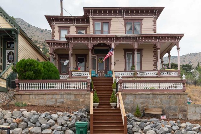
The first destination on our 2023 Fall Adventure was Marshfield, Missouri, where our daughter, Laura, and her family had settled into their new home. Her hope chest didn’t fit in their moving pod when her husband, Chris, loaded up their belongings, so we volunteered to deliver it. We’d figure out where to go and what to see after the delivery once we made the 7-day trek.
We hit the road on Friday, September 8, 2023. After our awful experience with Interstate 40 during the spring, we opted for highways 50 and 70, also referred to as the Loneliest Road in America.
First stop Fallon Nevada. Thank goodness we missed the deluge that disrupted the Burning Man event 120 miles to the north of us. Then on to Ely Nevada. The wide shoulder outside Austin, Nevada, was a perfect place to take a break. I would have preferred to walk over and explore the gravesites and monuments at the nearby Austin Cemetery. Instead, I snapped a shot from afar. The cemetery earned distinction on the National Register of Historic Places in 2003.

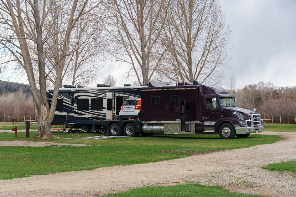
and secured it to the rear hitch rack.

We stopped in Eureka, Nevada, and ate delicious giant burgers at the Owl Club Bar and Steakhouse for lunch. I noticed a recurring theme of red paint with white trim on buildings around town. I imagined a group of people with ladders, brushes, and rollers roaming around, painting the town red.


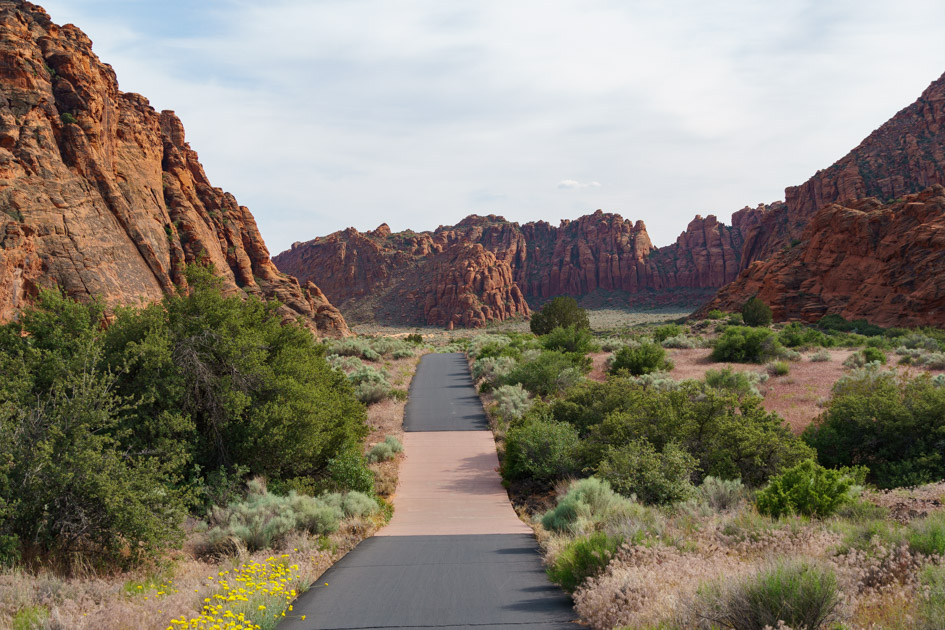
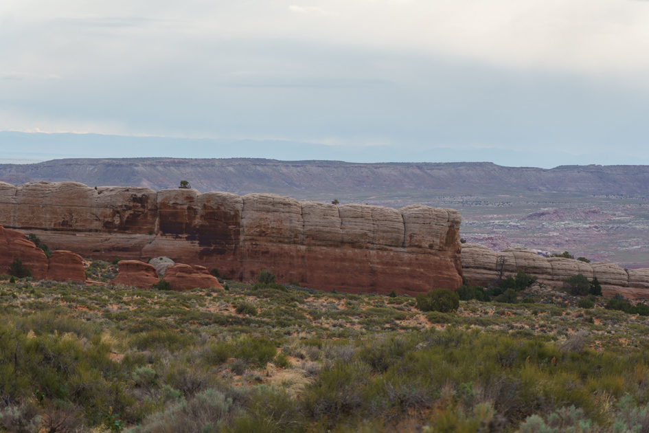
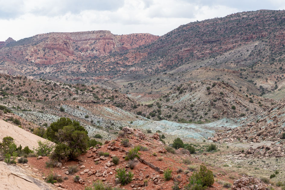
The beautiful canyon we drove through from Ely to Green River nearly made me cry. The painted cliffs in rust and orange and yellow were every bit as majestic from the passenger seat as it would have been up close.


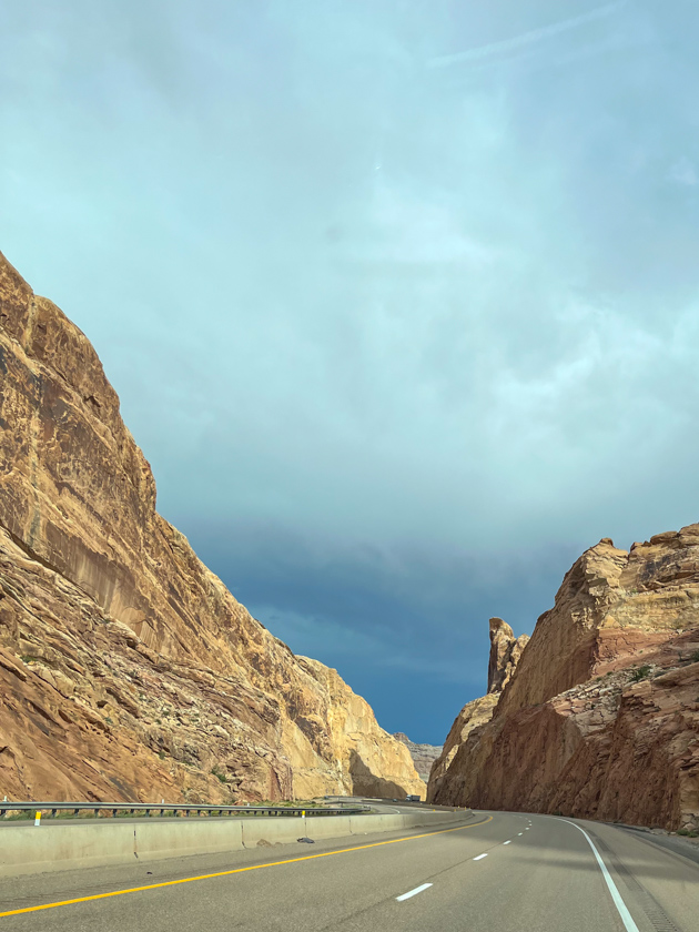
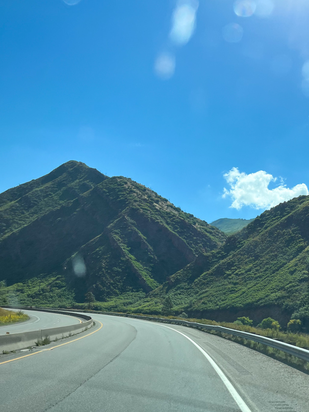
On the way to our next stop, we encountered a contrast to the terrain from what we saw in Utah. The Utah rock gave way to cliffs clothed in grasses, bushes, and trees.

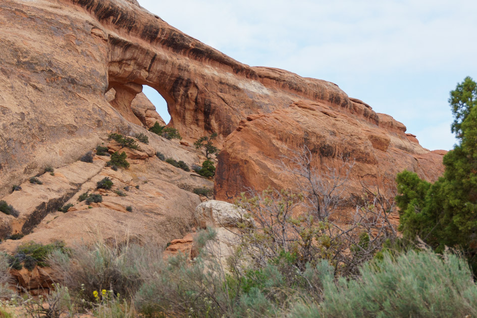
And then we gawked at the architectural genius that skirted the cliff like a tutu. Was it really westbound Interstate 70 up there?

On paper, Denver West/City Center KOA seemed an easy side trip to avoid afternoon traffic in the big city. If I’d only known about the altitude, I might have chosen another location. While Denver sits at an elevation of 5,280 feet, the KOA is nearly 8,500 feet. Although we both had trouble navigating the hill from and to the fifth wheel and the store, it was the hot steamy shower that did me in. The combination of the steam and altitude had me gasping for breath. Note to self, don’t take a steamy hot shower in high altitude.

On September 12, 2023, we selected Wakeeney, Kansas, for our next stop, halfway between Denver and Kansas City.
We cut it close—I was driving, so I should say I cut it close—the next day when we (I) pulled into the fuel station with only 1.12 gallons of diesel left in the tank. Yikes!

While eating a late breakfast, at Cracker Barrel of course, we discussed finding a spot to stay the night or continue on to Marshfield, Missouri. The back-to-back long drives had worn me down, so I voted to press forward and make our trip six days instead of seven. Jon preferred to park and start off early in the morning. Trading off driving duty made it possible for us to make it all the way through. We won’t do that again soon. Seven hours on the map usually means eight or nine hours after stopping for food and fuel.
As the sun dropped below the horizon, we pulled into C&L Homestead and placed the trailer beside Chris’ workshop. I was so thankful we pushed through because we had two weeks ahead of us without packing and moving down the highway.

Up Next: A look around the homestead and the local area.
Safe Travels