October 2020 COVID Adventure Part Four

Hitch-N-Post Campground was our base camp in Panguitch, Utah. We checked in on October 9, 2020, for a nine-night stay. Since our last visit in 2018, the owner had doubled the size by adding an entire section with plenty of room to accommodate big rigs and space for off-road enthusiasts to park their ATV toys. Our site was snug between the office and the neighboring rig, which I wasn’t too keen on in the beginning. When the wind came up, I was glad for the close quarters.
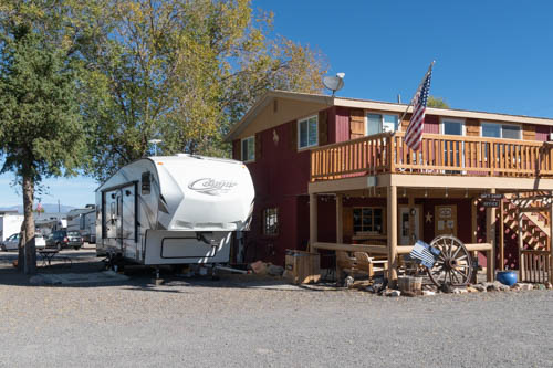
Wood 2-story building and fifth wheel trailer
Home base at Hitch-N-Post

The gang that likes to fish, which does not include me, took off two days during our stay to fish the Sevier River. The campground owner mapped out his secret fishing spot a few miles from Panguitch.

Angler in chair on the banks of a river
Fishing Sevier River (Photo by Bailey Bishop)

The few fish the gang caught weren’t big enough for us to have a full dinner, so Bailey cooked up some dynamite fish cakes to serve as tasty appetizers.
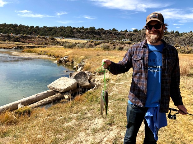
Man with beard holding two fish on a stringer
Catch of the day (Photo by Bailey Bishop)

While the gang went fishing, I worked on mundane household chores, cleaning the trailer’s sandy floor after our escapade at Wright Family Ranch and washing the laundry. Every day can’t be a holiday for a clean freak like me.

View of hoodoos at Bryce Canyon National Park
View from Sunset Point Overlook

We drove into Bryce Canyon National Park on one of our first days and found a parking spot at Sunset Point. Our goal was a hike on the Navajo Trail through Wall Street, connecting with the Queen’s Garden Trail, and climbing out of the valley at Sunrise Point.
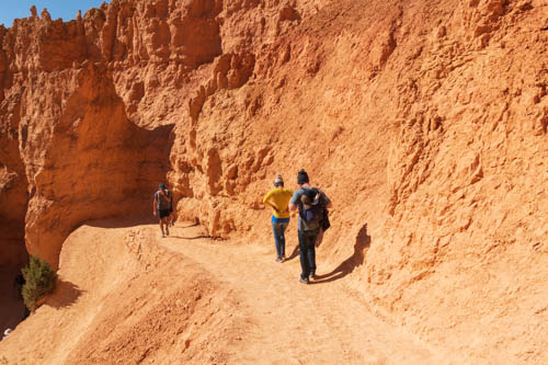
Hikers on Navajo Trail in Bryce Canyon National Park
Where’s the trail?
Man and woman posing in front of an arch at Bryce Canyon National Park
Oh, I see. Through the arch.

The whole route was about three miles. This is a popular hike where we encountered several people along the way. Fortunately, the trail was wide enough in most spots to avoid people without their masks.
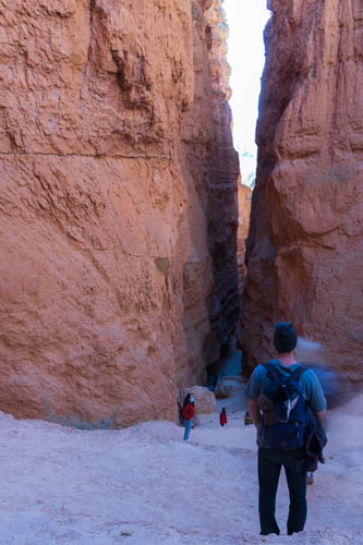
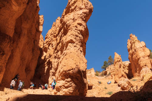
Hiker standing in front of a tall narrow slot between rock cliffs
Steep switchbacks lead to Wall Street
View looking up at trail switchbacks and rock outcroppings
Looking up from the mid-point of the switchbacks

So how were these hoodoos formed? According to the Bryce Canyon website, the canyon and rock formations were formed through a three-step process that began around 50 million years ago. The three steps are: 1. Deposition of Rocks, 2. Uplift of the Land, and 3. Weathering and Erosion.
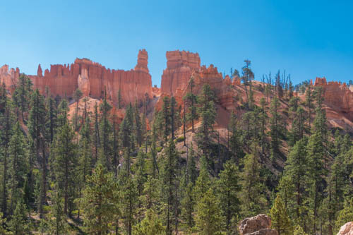
View of rock formations above pine forest
Looking up at hoodoos from valley floor.
Pine trees, rock formations, and blue skies
Scene along the trail

In the first step, Bryce Canyon started out in a low-lying area near sea level and surrounded by higher ground on the west side. Rain washed through the higher ground, developing into streams that picked up tiny particles of limestones, dolostones, mudstones, siltstones and sandstones and deposited them in the valley below. Limestone, mainly composed of calcium carbonate, bonded the particles together, and created the canyon’s rock.

Rock formations and blue skies
Queen Victoria (sitting profile) and Magic Lamp in Queen’s Garden
Rock formations, blue sky, and pine trees
Backside of Queen’s Garden

The second step occurred when the Farallon Plate descended underneath the North American plate, creating heat to rise and elevate the “Four Corners” area of the Colorado Plateau. As such, the Bryce rocks ended up at the perfect elevation for creating the hoodoos. Can you imagine the power, energy, and force it took to raise 240,000 square miles from sea level to 9,000 feet? It’s mind-boggling. Of course, the event did not happen overnight. It took millions of years.

Hikers on trail below tall rock formations
Walking around the castle-like formations.
Olympic flame rock formations against blue sky
Olympic Flames

Weather and erosion sculpt the hoodoos in the third phase. The varying degree and types of deposition and calcium carbonate that occurred in the first step determine how quickly the rock layers erode. Slightly acidic rain dissolves the calcium carbonate faster than other types of rock.
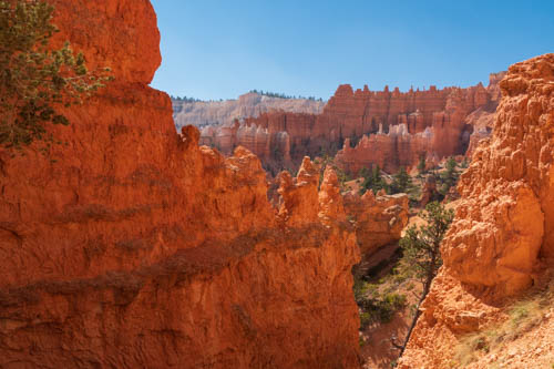
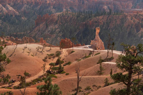
View of Bryce Canyon rock formations
View from Navajo Trail
One lone hoodoo on top of rolling hills
This hoodoo, composed of less calcium carbonate, still stands as the neighboring rock has already eroded.

That’s why the hoodoos have different shapes or a lone hoodoo might stand off all by itself. That lone hoodoo contains less calcium carbonate than the rock that surrounded it. The hoodoos we see today may look a little different the next time we see them, if enough time has passed.

Rock formation with small window against blue sky
Window in the wall
Kissing rock formations against blue sky
Kissing rock formations

Bryce Canyon sits at an elevation of 9,000 feet. At this elevation, the park counts over 200 nights out of the year when both above-freezing and below-freezing temperatures occur during the same night.
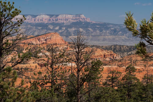
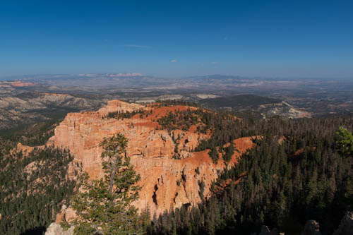
View of Shipwreck Rock formation, pine trees and cliffs in the background
Shipwreck Rock is my favorite formation
Long view of the valley beyond Bryce Canyon
Long view from trail

In the third step, rain or melting snow seeps into cracks in the rock and freezes into ice. The ice expands up to 9%, causing pressure on the surrounding rock and breaking it apart. Over millions of years, plateaus become fins and walls. Then windows develop. And eventually, the sculpted hoodoos take shape.
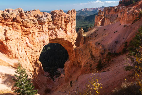
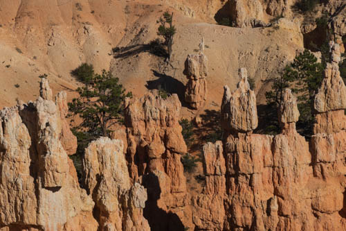
Arch in a rock wall formation named Natural Bridge.
Named “Natural Bridge” this is actually an arch.
Various rock formations in Fairyland in Bryce Canyon National Park
A peek at Fairyland

This post shows only a small portion of what is available to explore in Bryce Canyon. With 15 hikes ranging from one hour to five hours, hikers have plenty to choose from whether their visit is for one day or more.

Next up we continue our exploration of Bryce National Park and the surrounding area.

Personal Note: Because of the increase in COVID-19 cases and hospitalizations the past few weeks, our county reverts to shelter-in-place beginning Monday, December 7, 2020, through January 4. We’re all holding our breaths, saying prayers, crossing our fingers, and staying safe until the vaccine is available. Hope you all stay safe too.
October 2020 COVID-19 Adventure Part Three

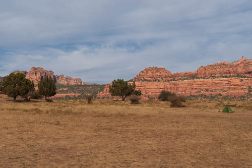
On October 4, 2020, we packed up and moved to Zion Wright Family Ranch Campground about ten miles northeast of Virgin, Utah. The Wright Family has owned the ranch and eco-camp for six generations.

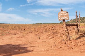
Red sandy field with camping sign
Zion Wright Family Ranch Camping

Don’t expect a staffed office for check-in or restrooms. Just drive through the fence opening, find a spot near a campfire ring that’s not already occupied, and set up. Oh, and pick a site away from the road and position your unit to avoid drifting sand from vehicles roaring down the dusty road.

Fifth wheel trailer, white pickup, gray Lexus, and yellow tent
Sunrise at Zion Wright Family Ranch
Red mountain cliffs and trees
Afternoon view of Zion Wright Family Ranch

Porta-Potties are the only other amenity available. We can’t vouch for their cleanliness since we preferred our onboard facilities. Be prepared like a Scout with plenty of water, food, and fuel. It’s a long way back to town.

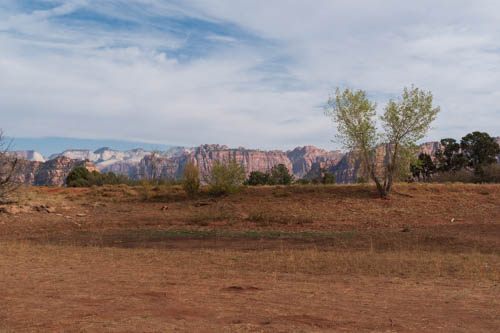
View of V-shaped tree and Zion NP mountains
View from campsite at Zion Wright Family Ranch

Amenities were not what attracted us to the place. Our goal was to enjoy the clear star-gazing skies and find a hike or two. We were not disappointed on either account.
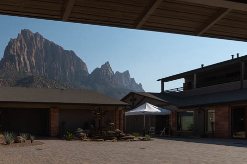
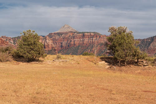
View of Zion NP peak from Zion Wright Family Ranch

The sky our first night was amazing. It had been decades since I’d seen the Milky Way so full of stars. It looked as though I could reach out and touch it. The big dipper hung above the horizon while we munched s’mores, dripping chocolate and marshmallow all over our hands. I can still picture in my mind all the stars, constellations, and Milky Way when I think of that night.

Zion NP mountain peaks
View of Zion NP peaks from campsite

The next day we found two hikes to keep us busy. The first was Lamb’s Knoll, a popular cayoneering site in the Kolob Terrace area of Zion National Park.

Three hikers walking through bushy trail
On the Lamb’s Knoll Trail

We lacked the gear and knowledge to scale any of the boulders and cliffs, so we hiked around them and through slot canyons. On the backside of the knoll, we found a beautiful view of the valley below.

Three people standing next to rock cliff
Peek A Boo
Rock cliffs and formations
On the Lamb’s Knoll trail
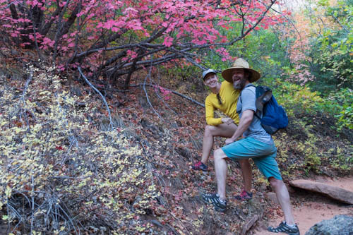
Two hikers standing next to red leafed shrub
Kevin and Bailey strike a pose
Pointy peak and mesas with shrubs and yellowed grass in foreground
View from Lamb’s Knoll parking lot
Rock cliffs and formations with shrubs and yellowed grass in foreground
View from Lamb’s Knoll parking lot
Closer look at rock formations
Closer view from Lamb’s Knoll parking lot
Landscape view of valley and cliffs in the foreground
View from backside of Lamb’s Knoll

The second hike was the Left Fork Trailhead that leads to the Subway. The entire trail to the Subway and back is nine miles, which was too strenuous and long for us after our time at Lamb’s Knoll.

Reddish rock formations
Site along the Left Fork trailhead

The Subway is rated a semi-technical slot canyon hike that requires hikers to wade and swim through the river, scramble over boulders, and climb down waterfalls. For hikers wanting to go all the way to The Subway, they must pick up permits at one of the Zion NP visitor centers.

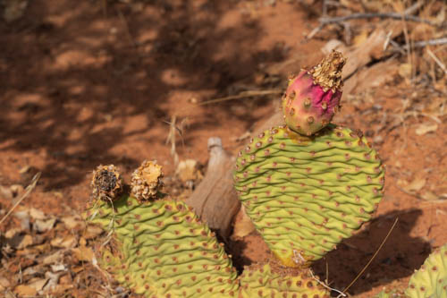
Prickly pear with bloom
Prickly pear at end of blooming season

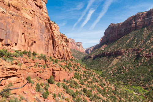
We stayed on the well-maintained trail that passed through pine trees, shrubs, and prickly pear until we reached the technical part, which was a steep descent into the valley. We stopped to take in the views and watch a couple navigate up the cliff.

View of canyon with blue sky and streaky clouds
View into canyon that leads to the Subway

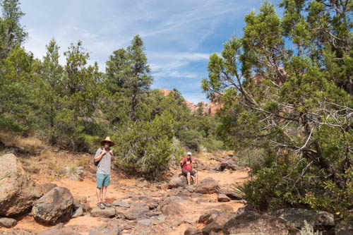
On our way back to the parking lot, a wrong turn led us on a half-mile or so detour down a dry riverbed between canyon walls, then back again until we found the correct turnoff.

Two kikers taking a break in a rocky riverbed
Taking a break along our riverbed detour

No one was interested in cooking dinner after our hard work of hiking, so we drove into Hurricane for a Mexican dinner at Las Lupitas Mexican Grill. We’re always on the lookout for good Mexican food, and Lupitas fit the bill.

Two horse sculptures atop a sign
Las Lupitas Mexican Grill in Hurricane, Utah

A layer of thin clouds foiled our expectation for a repeat of the celestial skies of the previous night. That was okay with us. We enjoyed another night around the campfire before it was time for bed.

The morning we left, I woke up early enough to capture this colorful sunrise.

Sunrise over Zion peaks

Coming up, we pull into Hitch-N-Post Campground in Panguitch, Utah, our base camp for Bryce National Park and Red Canyon State Park.

Stay Safe

2020 COVID Adventure Zion National Park Part Two

Yikes! One step forward and two steps back. This week California sent our county back to start in the game of “Open Up the Economy.” The current virus surge triggered feelings of sadness, despair, and grief for the many people suffering under the weight of COVID-19.

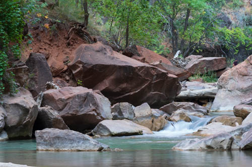
Virgin River flowing over boulders
Virgin River

Then, while preparing the photos and narrative for this post, sadness turned to thankfulness. How lucky are we that so far our family has escaped infection and illness? How lucky are we that we have a home to keep us safe? And how lucky were we for the opportunity to visit Utah before the virus worsened across the nation? Pretty dang lucky, I’d say, and for that, we’re very thankful.

A path, trees, and balancing rock
Balancing Rock on the Riverwalk Trail

While traveling we thought we had found a way to “live with the virus” that was safe for the people we encountered and for us. Unfortunately, it looks like we won’t be able to put our newly learned skills to the test anytime soon.

Virgin River with low water level
Virgin River

Instead, we will abide by the new restrictions the health department has placed on us and look back on our trip to Utah while reminding ourselves that someday we will again travel the roads and continue exploring the United States. We can wait a few more months. Hope it won’t be a year. If only we had a crystal ball to tell the future.

Skinny tree trunks growing in a swamp
Zion National Park’s Swamp along the Virgin River

So, join us as we look back at our second day trip into Zion National Park.

Zion National Park adopted a reservation system for their shuttle into the canyon where many of the hikes and sites are located. The reservations are required for two reasons. The first is to reduce the number of people on the shuttles, and the second is to avoid the crowded long lines of people waiting to board them. Our attempt to snag four tickets the day before was unsuccessful, so we signed up for a private shuttle, costing $30.00 per person rather than the $1.00 the parked charged.

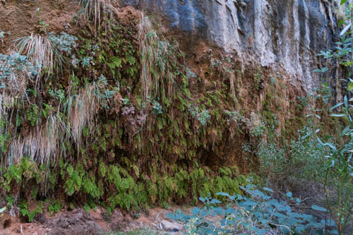
Ferns clinging to a cliff
I call this Fern Wall. The Weeping Rock is 100 times more impressive, but it was closed.

We parked in the South Entrance visitor center parking lot and took the short walk across the bridge to Springdale. The gear store and our shuttle stop were in the shopping center close to the park entrance. I wasn’t too happy about sitting behind, in front of, and next to strangers in the van. The concept of social distancing was not adhered to on this shuttle as it was on the one the park ran. Everyone did wear a mask, though. I hoped it would be enough protection.

Virgin River pools and boulders
Virgin River

Our first stop was the Temple of Sinawava, which leads to the Riverside Walk and the Narrows trails. We took the Riverside Walk to the Narrows (photos above), and waved goodbye as Kevin and Bailey, wearing their special boots and grasping their hiking staff, continued their trek in the Narrows.

People standing in a rock riverbed with mountains towering in the background
Random visitors at entrance to the Narrows Walk

Jon and I decided keeping the virus at bay was enough to deal with. No need to add the toxic cyanobacteria bloom in the Virgin River to our risk of possible illnesses. So we hopped back on the shuttle and got off at The Grotto. From there we took the Kayenta and Emerald Trails to Zion Lodge.

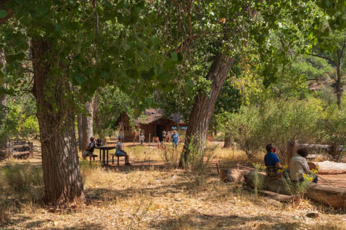
Trees, grass, picnic tables, and building
Visitors will find picnic tables and restrooms at The Grotto
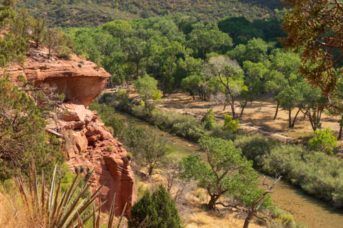
Towering canyon cliffs and mountains above the Virgin River
Virgin River and canyon cliffs from Kayenta Trail
Trees, canyon cliffs, and Virgin River
Virgin River from Kayenta Trail
Shrubs, towering cliffs, and blue sky
Lower Falls from the falls trail
Waterfall stained rock cliff
Hard to see the waterfall from this spot

Zion National Park did not receive the normal amount of snow and rain this past year, so Lower Falls was more of a trickle than waterfall.

A trickle of a waterfall
October 2020 the fall was like a trickle

This is a photo from October 2017 when the park received more precipitation.

Larger waterfall
October 2017 there was more water flowing

The trail under the waterfall’s overhang is slippery. Use the fencing to prevent falls.

Red path to the waterfall with ferns growing on the cliff
Lower Falls trail

When we reached the lodge, Jon’s attitude turned grumpy when he realized our shuttle didn’t stop there.

Bridge across the Virgin River
Bridge across the Virgin River from trail to the Lodge

We had another mile to go on The Grotto trail. The trails we took made a loop, normally our favorite. This time, it subjected me to bouts of grumbling as Jon trailed behind me.

Read rock towering cliffs and blue sky
I think the mesa on the left is the Sinawava Temple

We went back to where we picked up the shuttle that morning. A mocha frappuccino and protein bar perked us up as we recovered and waited for Kevin and Bailey to return from the Narrows hike.

So how was it hiking under the threat of COVID-19? Mostly I felt safe. The majority of hikers on the Riverside Trail wore masks. There were a few groups with college-aged people who walked around like, “Virus? What virus?” And other groups where there was one, maybe two, holdouts in a family of seven or eight were like, “No mask for me. Don’t tread on my rights.”

red rock towering cliffs and building
Back at the Grotto

That was okay because the trail was fairly wide, and it was easy to keep our distance. The Kayenta and Emerald Pools Trails was another story. The narrower path made it difficult to keep our distance from the “mask-less” folks.

View of craggy cliffs behind a courtyard
Sitting under the overhang, drinking our shakes and enjoying the view

Our hike took us much longer than it should have since we had to step off the trail and let people without masks pass before we continued. We thought for sure one of us would end up infected. We’re happy to report our fear did not materialize. After that experience, we only hiked in places where there weren’t a bunch of people.

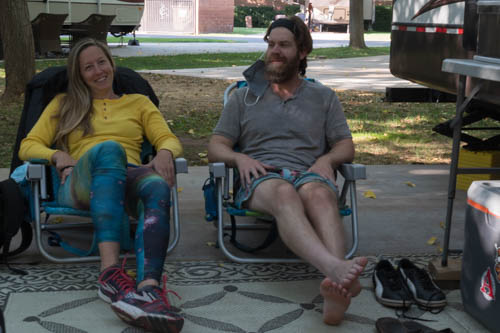
Man and woman relaxing on beach chairs.
Kevin and Bailey relaxing after their walk through the Virgin River

So was it worth the $30.00 shuttle ride? We have to say yes. Hiking the narrows was an item on Kevin and Bailey’s bucket list, and we got to see a few sites in a different light than we did before. Besides, with our Lifetime Senior Pass, we entered the park for free.

The next day, we moved to Zion Wright Family Ranch for a couple of nights of dispersed camping to see a different side of Zion.

Stay safe.

2020 COVID-19 Adventure: Zion National Park Part One

We counted the trip to the California coast a success, so it was time to map out our next adventure. Initially, we planned on a week or two in San Diego to visit our son, Kevin, and his better half, Bailey. They had other ideas in store for us. When they mentioned Zion and Bryce, we said, “Sure. Let’s go.”

With the trailer loaded with food and clothes, we made our first leg of the trip to Barstow, California, on October 3, 2020. Smoke from the California fires filled the skies until we reached the Tehachapi Summit. I switched the AC from recycle to fresh air and we took big deep breaths as we descended into the Mojave Desert.

The next morning we left Barstow at sunrise, which wasn’t all that early, only 6:50 a.m. It sure looked like smoke or dust or something had shaded the sky with orange and yellow hues. The iPhone 8 captured a surreal image.

Sunrise in the desert
Desert Sunrise

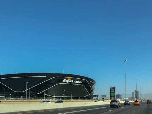
In Las Vegas, Nevada, we caught our first glimpse of the new Raider’s Allegiant Stadium from the freeway. Bitterness that the team left Oakland, again, still exists in the Bay Area, although I’m sure fans in Las Vegas are happy about the move. The stadium should be a boom to the City of Las Vegas once we come out of the pandemic, and fans are let back into the sports arenas.

View of Raider's Football Team's Allegiant Stadium
Raider’s New Nation

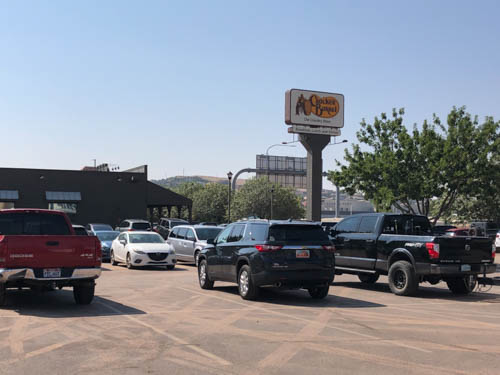
The quick breakfast we ate that morning had long worn off when we hit Las Vegas, which would have been a good place to stop and have a bite to eat. We try to avoid the big cities for our stops because it’s too difficult to maneuver through traffic and find a place to park with the rig. So, we sucked it up and drove the next two hours to St. George. That Cracker Barrel sign never looked so good by the time we arrived.

Cracker Barrel restaurant parking lot and sign
Breakfast, here we come.

In the Bay Area, dining options were limited to takeout and outdoor seating. In Southwestern Utah, they offered inside dining or takeout. Since we hadn’t been inside a restaurant for seven months, we chose the takeout. Cracker Barrel isn’t usually my first choice for a restaurant. I much prefer to buy food from an independent store or a local chain. Jon, on the other hand, loves their pecan pancakes. We put on our masks, locked up the trailer, and set out to order our meals.

We were leery about all the people waiting outside, rocking in the chairs on the porch or standing next to the railing and ignoring the six feet of distance we had practiced since March. Only half of them wore masks. At the time, wearing face coverings was only a suggestion, not a state mandate. The state now requires masks in all state-owned buildings and individual counties may have their own requirements.

We kept our distance the best we could, stepped up to the podium, and ordered our meals. A few minutes later, we were inside the trailer, chowing down on the best Cracker Barrel breakfast and cup of coffee I had ever had. Either the cooks do a better job at the Cracker Barrel in St. George, or I was so hungry, a dog bone would have tasted good to me.

With our bellies filled, we drove the remaining thirty minutes to WillowWind RV Park in Hurricane, Utah, where we had booked three nights. Kevin and Bailey arrived a few hours later.

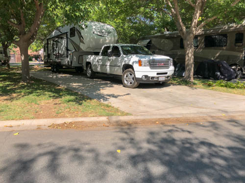
Rv and truck parked in campsite
Campsite at WillowWind RV Park

On our first day in Zion National Park, we checked out the situation for catching the shuttle (we couldn’t get tickets for the park shuttle, so paid for a private one) and renting equipment Kevin and Bailey would need for their river walk the next day. Then we drove to the east end to see other sections of the park and find a place to eat our lunch.

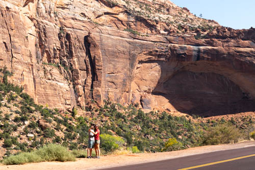
People taking selfie at foot of arch in the making cliff
An arch in the making
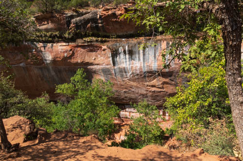
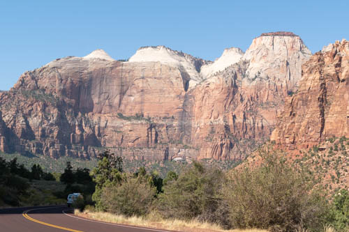
Zion cliffs with white tops
Reverse view from Arch in the making
Cliffs in Zion NP and shadows of people
Look at that view

We passed the Canyon Overlook Trail on our way to the tunnel, and there were no parking spots. So we kept driving and found a place with a bit of fall color to eat our lunch and take a break.

Two men and one woman in a desert setting
Shootin’ the breeze
Pine trees and mountain formation
Navajo sandstone
Closer view of trees and red cliffs
Fall is near
Rock formation with trees
View from picnic site

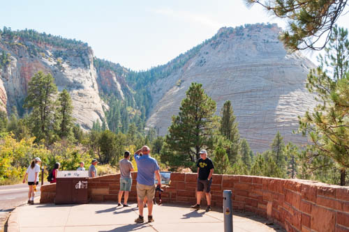
Checkerboard Mesa is a good place to stop for views. There is plenty of parking, information signs, and plenty of sites to see. Unfortunately, the position of the sun made it difficult to capture the checkerboard feature on the mesa. Earlier in the day would have been better.

Checkerboard Mesa mountain formation

Checkerboard Mesa

The sun was coming from a better angle, so the colors pop in the photo of East Temple.

Mountain Formation in shape of a wedding cake
East Temple

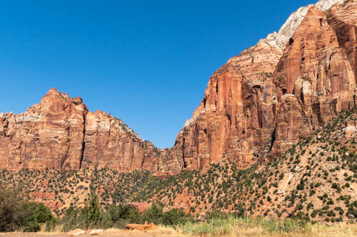
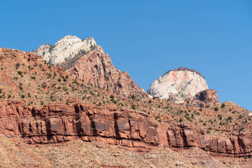
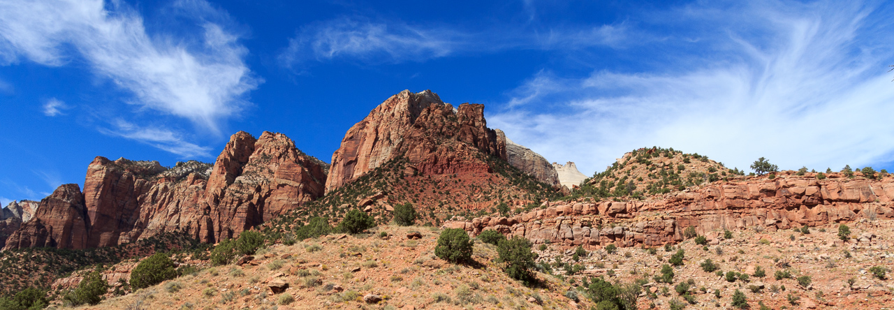
And here are two more views along the road.

View of mountains and cliffs
Geological formations
View of geological formations

Outside of the park on the east side is The Get and across the street is an RV and tent campground and cabins to rent.

Rock cliff looms over building
The Get sells a bit of groceries, sandwiches, gifts, and souvenirs.

On our way back to the west side of the park, we scouted around for a parking space at the Canyon Overlook and ended up having to stop and wait for one-way traffic to clear. When the west-bound vehicles started flowing, a car just ahead of us pulled out, and we slipped right in as if it was all planned perfectly.

View from Canyon Overlook Trail

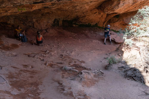
At first we thought the overlook was close by. It turned out further than we thought. I brought my water bottle with me, but no one else did. We hoofed it most of the way, at least to the section where the cave was and we could peek down into the canyon. So, word of caution: come prepared for a hike, not a short walk.

Zion cliffs, yellow flowers i the foreground
View from Canyon Overlook Trail
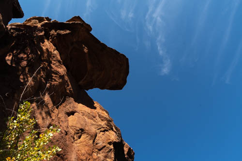
Horse head rock formation
Anyone else see a horse’s head?
View of cave opening
View of cave from Canyon Overlook Trail
View of canyon opening
A place to rest
View from cave into canyon

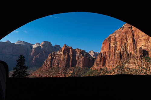
Heading west through the tunnel gives a person a good view out the windows. Luckily, no one was behind us, so Jon stopped the truck for a couple of seconds so we could capture the view with our cameras.

Zion cliffs from tunnel window
View from one of the tunnel windows

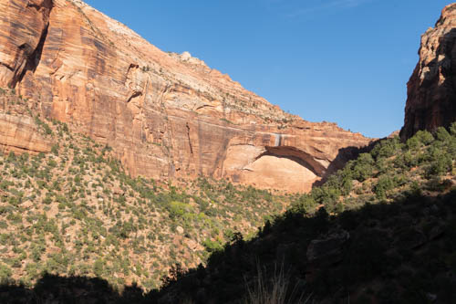
After the tunnel there are a few places to stop and take in the views and spot the windows in the rock walls.

Cliff in Zion showing the makings of a natural arch
Another arch in the making
Zion-Mt. Carmel Tunnel window

Next up we have another day of more fun and games in Zion.

Stay Safe