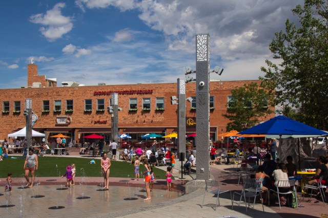
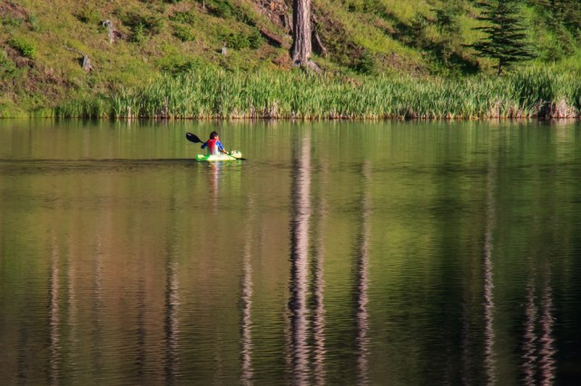
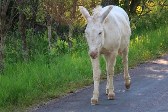
We left the Black Hills of South Dakota in our rearview mirror on June 30, 2017, and headed for 7th Ranch RV Camp in Garryowen, Montana. We were surprised to find that our campsite was at an actual working ranch with cows and horses.
 7th Ranch RV Camp
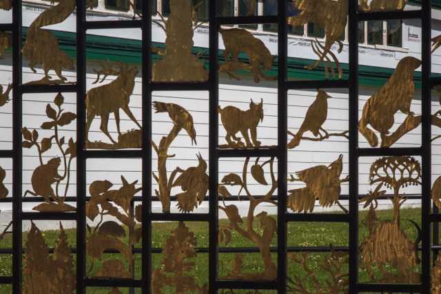
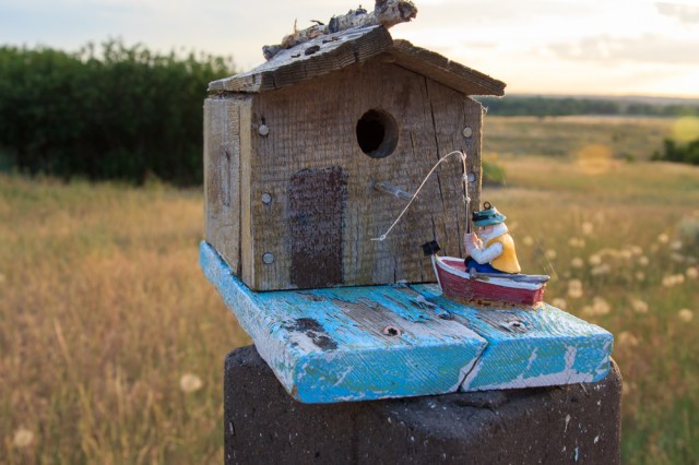
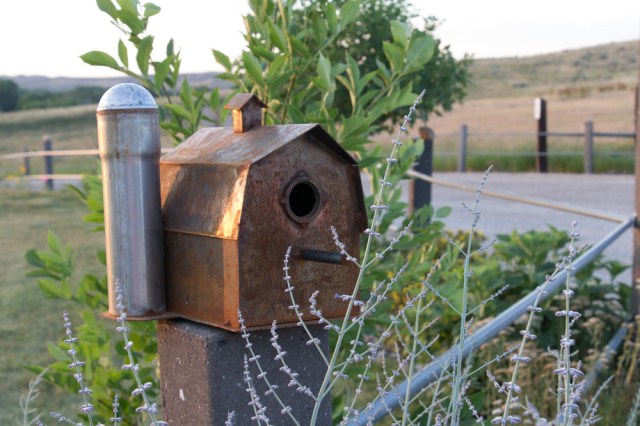
The best part about 7th Ranch was the free huckleberry ice cream sandwich we received upon checking in. They made a perfect treat after setting up the trailer for our four-night stay. We enjoyed waking in the morning to the sounds of cows mooing and walking the property to see all the whimsical birdhouses that sat atop fence posts.

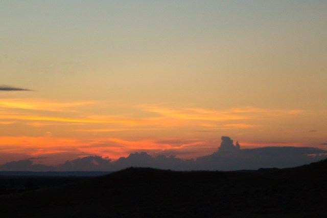
Oh, and I can’t forget the beautiful sunsets each night.

What’s in Garryowen, Montana? Not much other than a privately owned Custer Battlefield Museum, a Conoco gas station, and a trading post. However, one exit to the north is the Little Bighorn Battlefield National Monument, also known as Custer’s Last Stand, and by the Lakota and Plains Indians as the Battle of the Greasy Grass.
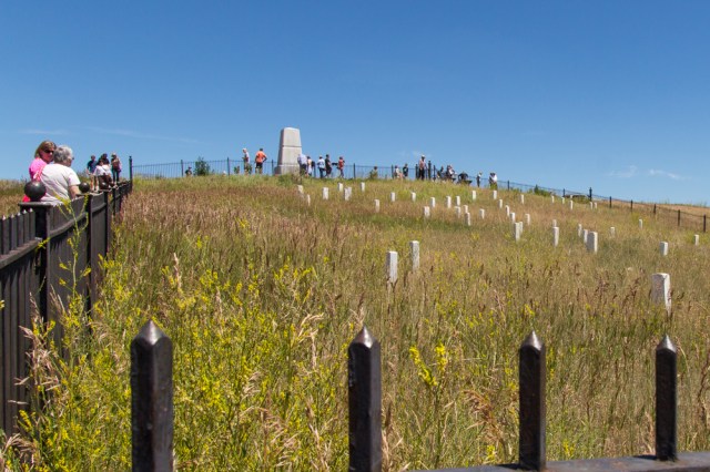
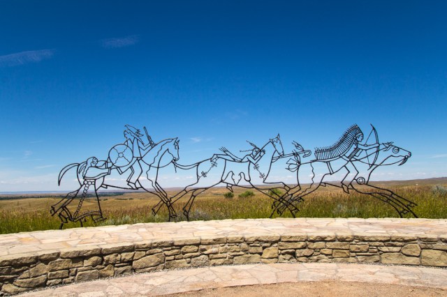
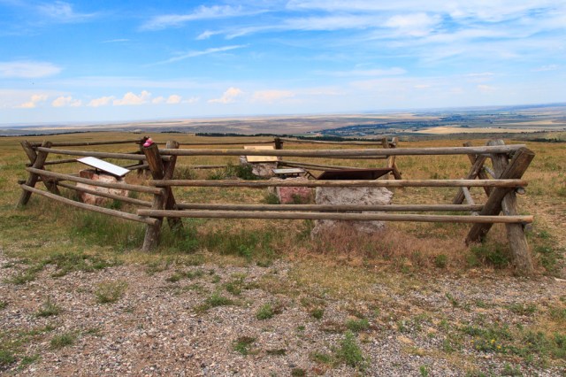
Little Bighorn Battlefield National Monument
We counted ourselves lucky to have arrived at the monument in time to hear a ranger talk on the two-day battle between the American Indians and the Cavalry.

Through his storytelling, I could see smoke rise from the American Indian camp near the river, and hear the thunder of horses, the cracks of rifles, and the shouting and whooping as the cavalry and Indians clashed. Mr. Abbot explained the impetus that culminated in the conflict, the strategy of each side, the skirmishes within a five-mile stretch of hilly land, and how it all ended. The National Park Service had a unique opportunity to perform painstaking research when a 1986 fire uncovered archeologically significant evidence. This discovery allowed them to corroborate the American Indian oral histories and written accounts by the troops who came upon the scene in the days after the conflict for a more accurate account.
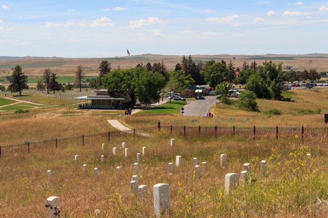
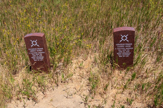
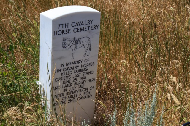
We drove the 4.5-mile trail pulling over at each information stop to listen to a recording on the cell phone of what happened in that location. White posts marked the spots where the cavalry troops fell during the battle, red posts marked places where the American Indians fell. Even the horses that died in the conflict have their own memorial at their burial site.

Jon, with his military background, was most interested in the skirmishes and determining what the cavalry did right and what they did wrong. The senseless death and destruction affected me more. While driving the battle route and walking the grounds of the national cemetery I wanted to whisper and walk softly to honor the sacred ground of both the white and red men who fought and died to protect their way of life.


The place calls out for solemnity, the same feeling I experienced when we visited the Arizona at Pearl Harbor in Hawaii where over 1,100 sailors are entombed in the ship.
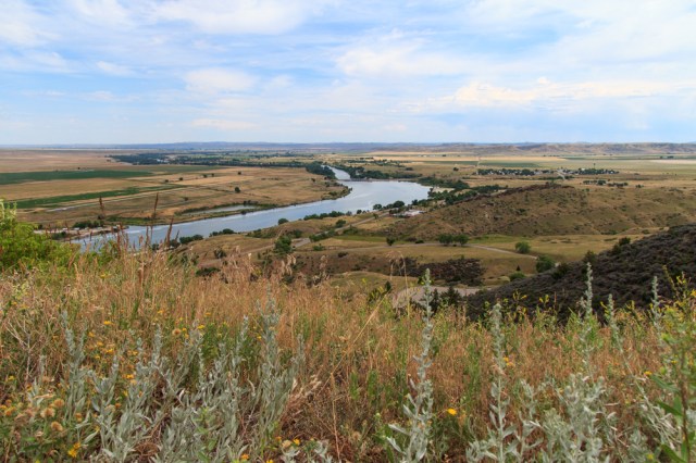
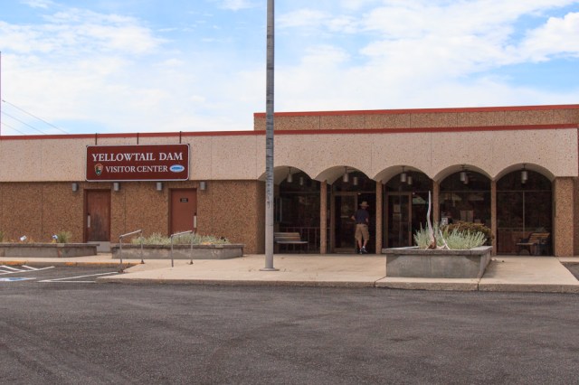
Yellowtail Dam National Park
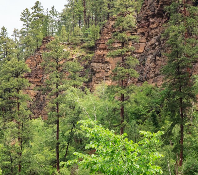
The picturesque drive to Yellowtail Dam National Park took us through the Crow Indian Reservation ranch and farmland along the Bighorn River. The river is a fly-fishing paradise with numerous cabins and camps along the banks.
No tours are offered of the dam, but the visitor center has nice displays depicting the building of the dam, the after bay, and river. They also show a movie that explains the surrounding area, recreation opportunities, and wildlife.
The dam regulates the flow of the Bighorn River for irrigation purposes and generates power to residences in the area.


Near the park headquarters, we found Ok-A-Beh Road and headed out to the marina on Bighorn Lake. We enjoyed the views of more green grassland, red canyon walls, and the river valley.

We pulled off at one point to look at a fenced off area. Posters inside the fence told the story of the vision quest and gave other information about the tribe.
About a half hour or so of driving, without seeing more than one or two vehicles along the way, all of a sudden cars, SUVs, and trucks, some with boat trailers, lined both sides of the road for about a quarter-mile. We gave up on the idea of eating our lunch at the marina. We dropped down into the main parking lot to turn around. Up one lane and down another.
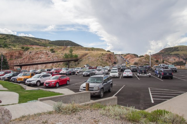
Then, “Wait. Slow down. That guy is jingling his keys.” No one else vied for his spot. Score! We munched our tuna sandwiches and tortilla chips with salsa while boats and jet skis glided in and out of the marina. The red canyon walls and the lake enhanced our view under cloudy skies.

Big Horn County Historical Museum
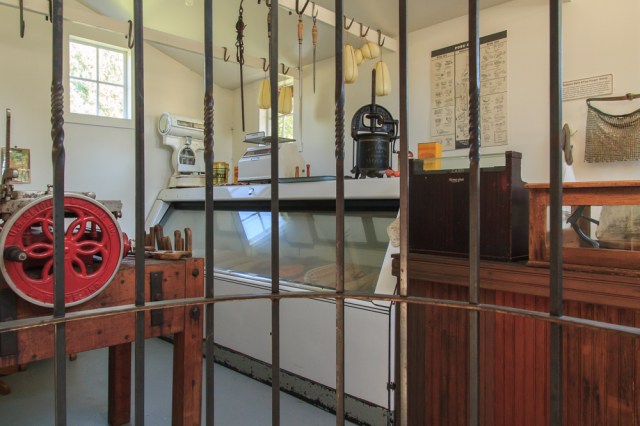
With temperatures approaching 100 degrees, an inside activity seemed the smart choice for our sightseeing one day so we drove to Hardin, Montana, to wander among the artifacts and displays inside the air-conditioned Big Horn County Historical Museum.

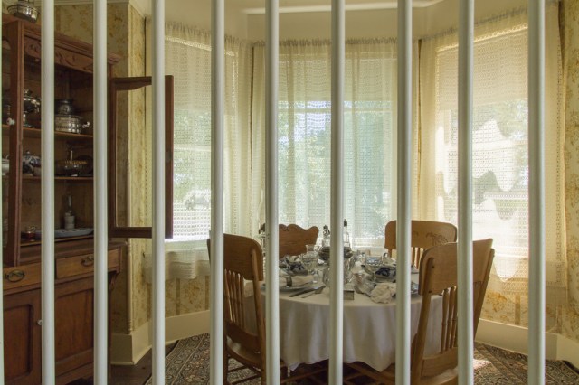
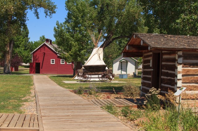
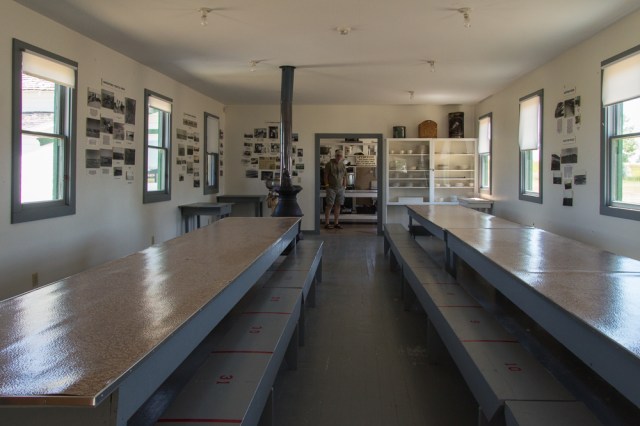
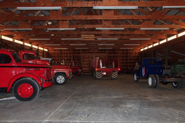
As it turned out, most of our visit was outdoors exploring an early mid-1900 farmhouse, a schoolhouse, ranch cabins, a train depot, and two barns filled with vehicles including surreys with fringe on top, stagecoaches, mid-century fire trucks, and other conveyances.


And Then There Is Food
We had seen several Taco John’s locations for the past couple of weeks but never tried them out. We were surprised to find they had a large selection of tacos and other Mexican-style dishes, all made to order with fresh ingredients, chips, and a variety of salsa to choose from. It definitely was not Taco Bell. I’m sure we will visit them again when we are near one of their stores.

Next up? Glacier National Park after a few days in Livingston, Montana.
Safe Travels


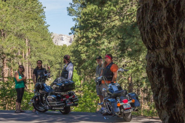

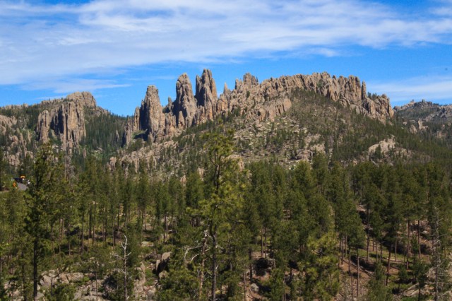


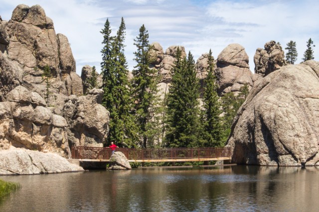


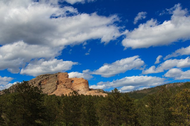
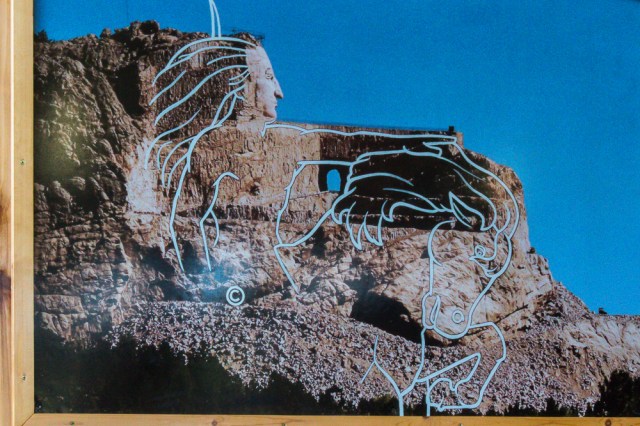
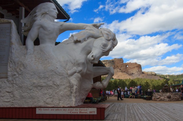
 The whop, whop, whop of the blades seemed to follow us everywhere and ruined the ambiance of the Black Hills experience. The aircraft flew overhead at Mount Rushmore and Crazy Horse, while we rode the 1880 Train, as we traveled Iron Mountain and Needles Highway, and at Sylvan Lake.