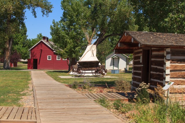
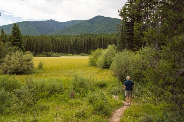
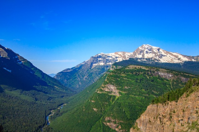
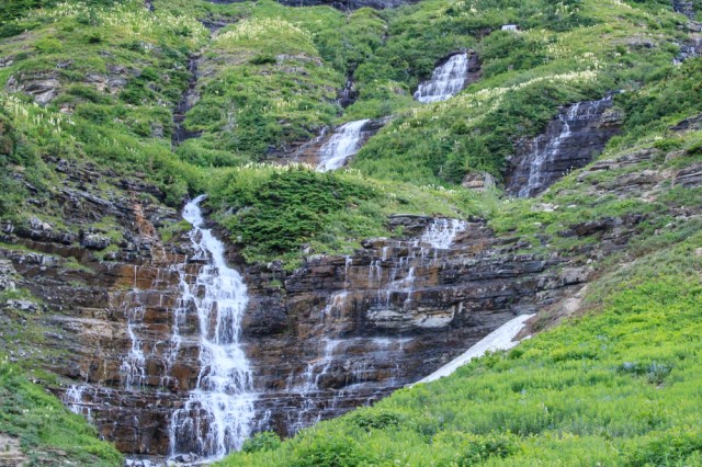
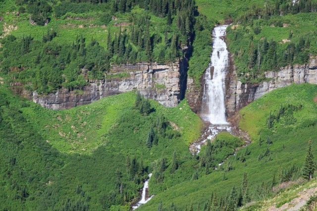
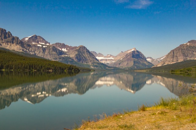
Glacier National Park is more than just the Going-to-the-Sun Road. With so many trails, creeks, and lakes to explore we could have easily spent a whole month there. Hmmm, something to consider for the future.
Here are a few other places we managed to explore.
Johns Lake and Trail
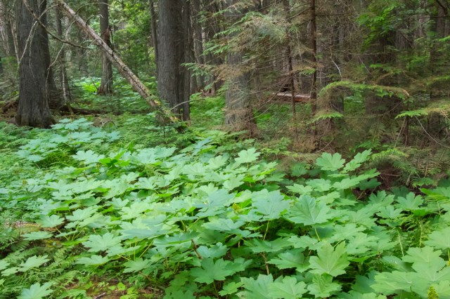
Situated just past the north end of Lake McDonald, is a trail that loops around Johns Lake, through a forest, and along the banks of McDonald Creek.

We could barely see Johns Lake through the overgrown forest and vegetation that surrounded it.

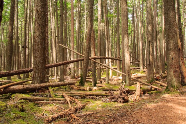
In some areas along the trail, lodge pole pines looked like a game of pick-up-sticks.
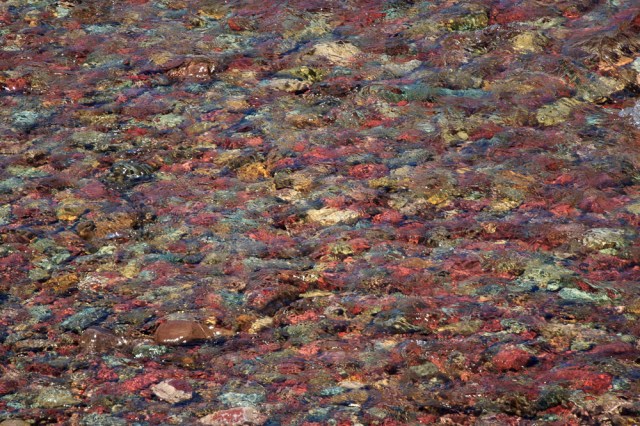
The best part of the short hike was McDonald Creek where water rushing over the rocks and boulders was deafening.
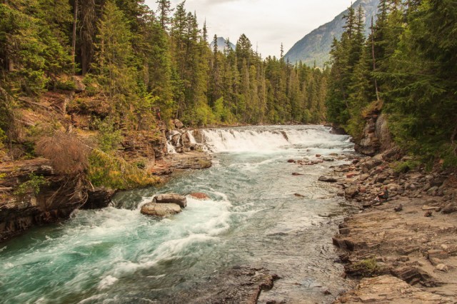
I don’t recall seeing a creek with such a beautiful shade of turquoise.
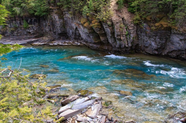
A few people stuck more than a toe into the icy water. Although it was a warm day, we decided to pass on a dip.

The way the fallen trees provide nourishment for the new growth reminded me of the Hoh Rain Forest west of the State of Washington’s Olympic National Park. In the Hoh Rain Forest, the infant trees grow in a row on the fallen tree trunks.

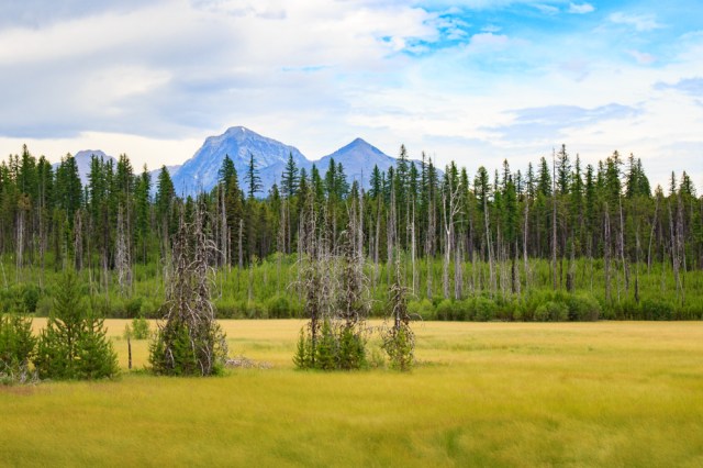
Camas Road and Forests and Fire Nature Trail
The Camas Road took us on the west side of the park to the Forests and Fire Nature Trail. Along the way, we stopped at Fish Creek Campground to see what they offered. There were a few spots that might have worked for our rig, except for the ones tucked into the vegetation. Visions of creepy crawlies around the vegetation discouraged us from attempting to stay there. Rain threatened to pour from the sky so we were unable to take the Forests and Fire Nature Trail, but we did see a few sections where the cycle of forest regeneration of the woods progresses.
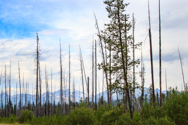

Near the burn areas, tightly clustered trees surrounded what we thought were meadows. Actually, they were fens, a type of wetland. According to Wikipedia, fens are an area that is pH neutral or alkaline with high mineral content but few plant nutrients. Streams and springs provide the necessary nutrients for the grasses and wildflowers to grow.
Avalanche Creek, Trail of Cedars Nature Trail, and Avalanche Lake
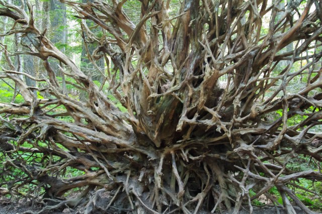
The park service picked one of the most beautiful places for the ADA accessible Trail of Cedars. A boardwalk marks the trail, which winds through old growth cedar and hemlock forest along a stream. There are places to stop and gaze at fallen tree stumps showing off their roots and ferns carpeting the forest floor.

The sandstone cliffs covered in moss and ferns reminded me of an Indiana Jones movie. There’s a way to the hidden treasure somewhere among the cliffs, I just know it.

Sparkling clear water cuts a path between moss covered cliffs.


The 5.8-mile round trip hike to Avalanche Lake has an elevation rise of only 500 feet. Or so the map says. They forgot to mention that the trail goes up hill and downhill at least ten times. That was okay. It was better than a constant incline.
There were a few spider webs near the trail that kept us busy rubbing our faces and arms to brush them off. I liked the way this one glistened from the filtered sunlight.

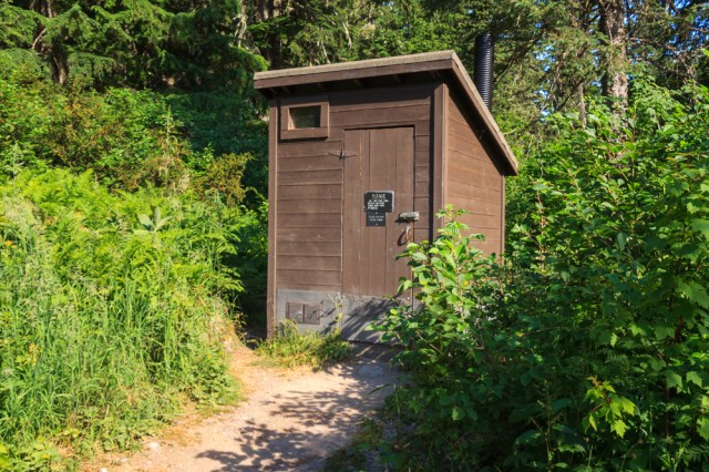
We were so glad to come across vault toilets a few yards before reaching the lake. I feared I’d have to veer off the trail and squat.
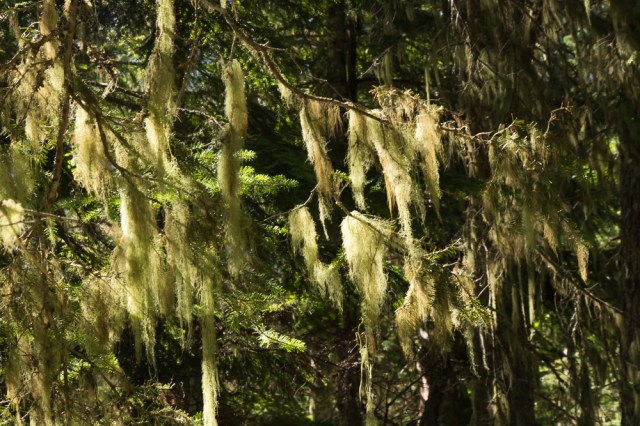
The closer we came to the lake the more Spanish moss covered the tree branches.
When I saw this photographer with his entire collection of gear strapped to his body, I feared he would fall in. Sadly, he and his buddy had arrived a bit late to capture the perfect photo.

The sunlight through the haze made it difficult to photograph the falls. Here’s the best I could do, with a lot of help from Lightroom. Thank goodness for the dehaze function.

A half hour after we arrived, crowds descended on the shoreline. Time to head back down.

Whitefish, Montana
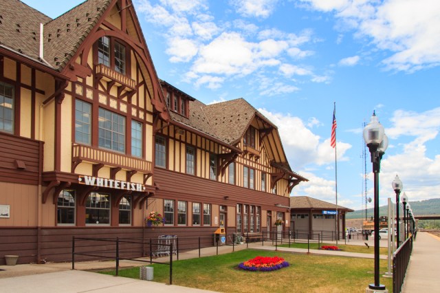
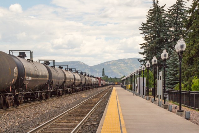
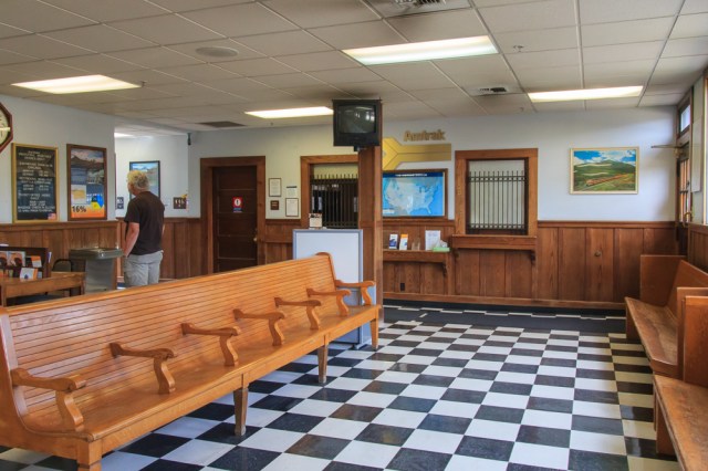
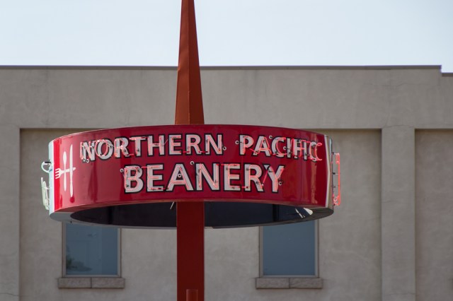
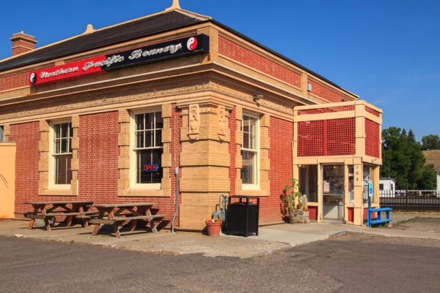
Curious to see the towns surrounding Columbia Falls, we drove through Whitefish. There we found a quaint resort town with the typical restaurants, gifts shops, art galleries, and such. We checked out the train depot and museum, which included bronze statues of an engineer and a little boy.

Casey’s looked like a good place to stop for a dark and stormy.
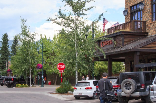
Served in copper mugs, of course.

We had to fork over our driver’s licenses in exchange for the mugs. Apparently, some patrons erroneously thought they bought the cup along with the contents.
There were plenty of other sights to see and things to do in Glacier. Unfortunately, the limited time we had didn’t allow us to tick off all the trails, boat rides, and other activities that had piqued our interest. We were glad for the days we had to visit Glacier National Park. Only now we are saddened to learn of the destructive fires caused by lightning that broke out in August. Logically I know that fire is a good thing for the forests. I only wish it didn’t have to be that way.
Glacier Fire Update
I checked out the Glacier webcams on September 8, 2017. The smoke from the fires obliterated the view across Lake McDonald revealing only a few feet of the lake from the shore. On September 14, although still a bit hazy, I was glad to see the smoke had lifted allowing full view of the lake, mountains, and cloudy sky. Smoke had also cleared from other parts of the park.
As of noon on September 13, 2017, Glacier National Park and the Flathead County Sheriff’s Department issued an evacuation warning for the Apgar area within Glacier National Park and portions of West Glacier due to a shift in high winds forecasted. According to the incident report, the Spraque fire has gobbled up 14,795 acres, is 60% contained, and full containment is not expected until November 1, 2017. For updates, go to https://inciweb.nwcg.gov/incident/5510/
While hurricanes pummel and flood Texas, the Caribbean, and Florida, the western states battle their fires. It’s been a tough year so far.
Safe Travels


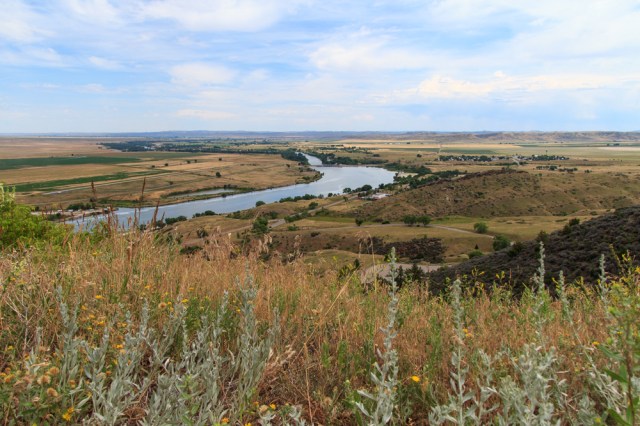
 7th Ranch RV Camp