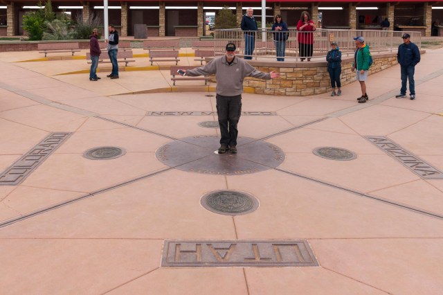
Week Two – Cortez, Colorado
It’s May 31, 2019, and we’re still hanging out in Cortez, Colorado. Several days of rain and snow kept us inside for the first few days, which was okay since Jon was dealing with his sciatica. Since we weren’t on a strict timeline, we could afford to snuggle up in the trailer during the winter weather and wait for sunny warmer days.
Did acupuncture work?
Jon’s excitement for a miracle pain relief dissipated after the first treatment. Discouraged there was no improvement, he wanted to cancel the next appointment. “You can’t expect it to work the first time,” I said. He persevered, though, dragging his feet and skepticism into Dr. Hawes’s office. When he noticed improvement after the second and third visits, he said, “Maybe there is something to this after all?”
By the fourth visit, he hurriedly stripped to his skivvies, climbed onto the table face down, and immediately relaxed, offering up his body as a human pin cushion.
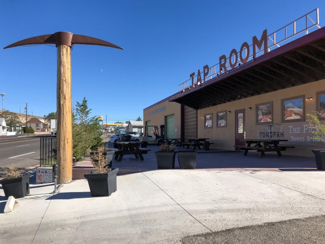
Whether it was the acupuncture, the CBD oil, the natural course of things, or a combination, the moans and groans have subsided. Not yet ready for a ½-mile hike, he can now make it halfway around the grocery store. This is a great improvement over our first days in Cortez when he could barely make it inside the store before having to grab a seat at the Starbucks kiosk.
Although we weren’t able to hit the trails with our new trekking poles, we still had fun exploring the Canyons of the Ancients National Monument, Hovenweep National Monument, and Mesa Verde National Park.
Enough with the medical issues and on to the explorations. Let’s start off with Canyons of the Ancients and Hovenweep National Monuments and leave Mesa Verde National Park for the next post.
Canyons of the Ancients National Monument
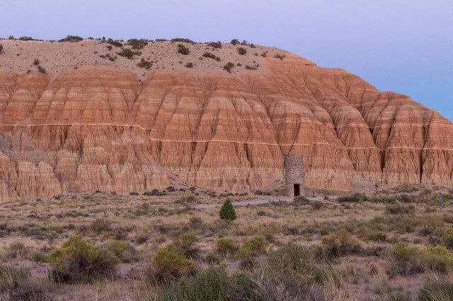
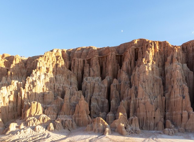
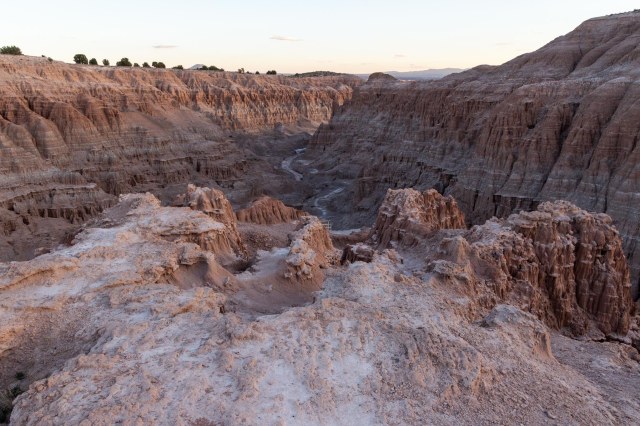
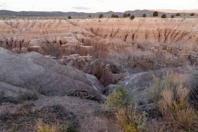
Canyons of the Ancients National Monument, designated on June 9, 2000, covers over 176,000 acres of federal land administered by the Bureau of Land Management (BLM). The number of sites contained within the monument is estimated at 30,000, more than 6,355 of which have been recorded.

Humans who have inhabited the area for the past 10,000 years left evidence of homes below ground, above ground and tucked under cliff overhangs, towers of some sort, and sweat lodges, along with reservoirs and dams for irrigation of crops. Some areas contain more than 100 sites within a square mile.

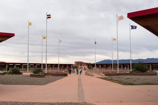
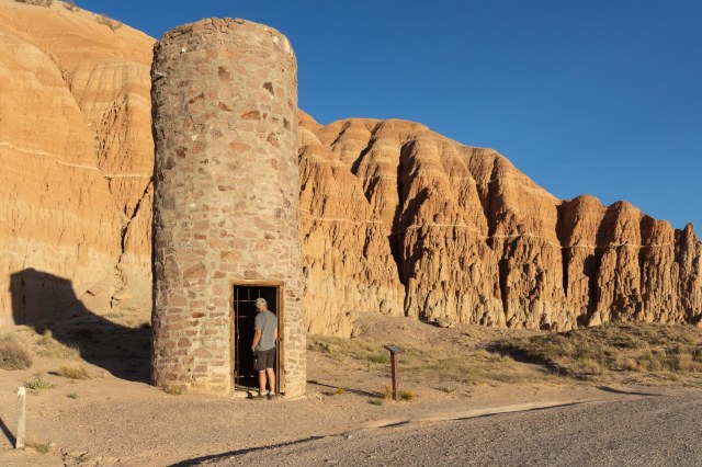
A stop at the Canyons of the Ancients Visitor Center and Museum is recommended before venturing out to the public sites. The cost is $3.00 for adults March to October and free in November through February. Federal Interagency passes are accepted. At the center, visitors gain an appreciation of the people who once occupied the land through the movies and exhibits that depict native cultures of the Four Corners region. Key archeologists and their work are also on display.

What I found amazing is the condition of the structures and their contents at the time they were located. Architects found intact pottery and baskets, tools and cooking implements, and shoes made from the yucca plant. To think these items survived untouched for thousands of years is mind-boggling.

Computers are set up that detail the timelines and different cultures. The information covers the different types of dwellings each culture built as well as the enterprises they engaged in such as weaving or pottery.

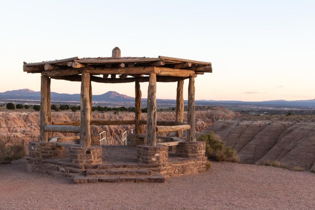
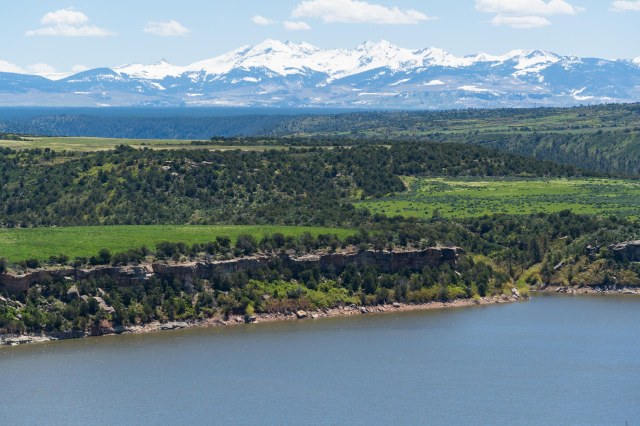
Follow the concrete paved trail around the side of the building to the Escalante Pueblo for a bird’s eye view of the surrounding landscape, mountains, and McPhee reservoir. Time for a picnic? Find tables with protective covers at the start of the paved trail. While the wind blew hard in front of the visitor center, the path side of the hill had very little wind until I reached the top.
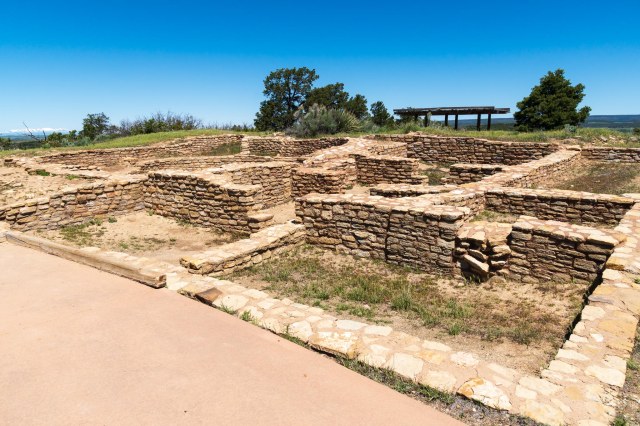
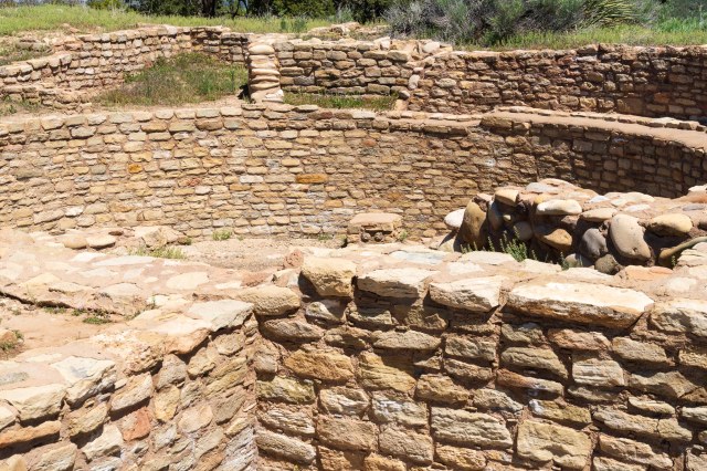
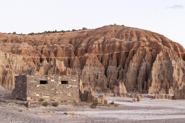
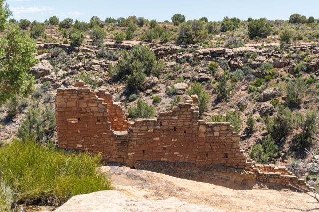
Lowry Pueblo
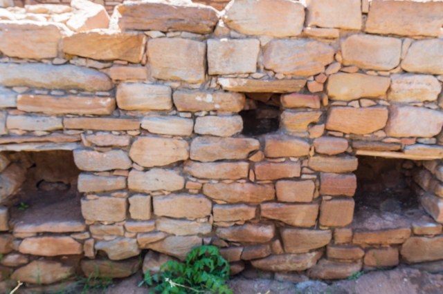
Twenty-five miles from the visitor center is the Lowry Pueblo. Constructed around 1060 AD, it housed at least 40 – 100 people at a time for approximately 165 years. The entire structure consisted of 40 rooms and multiple kivas. Archeologists found evidence of hunting, farming, pottery, and cotton weaving up until the early 13th century.
As I stood inside the walls, I couldn’t help but wonder what the niches were used for. Were they places to stash belongings, decorations, supplies, pots filled with water, baskets holding herbs and seeds and nuts, or maybe tools used in farming.
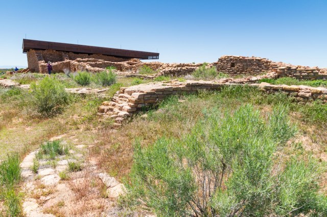
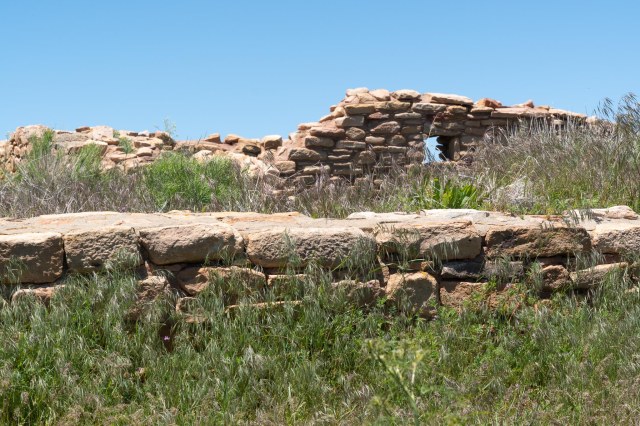
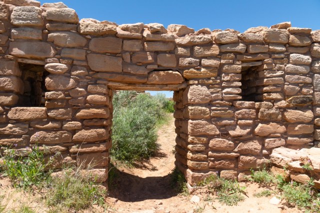
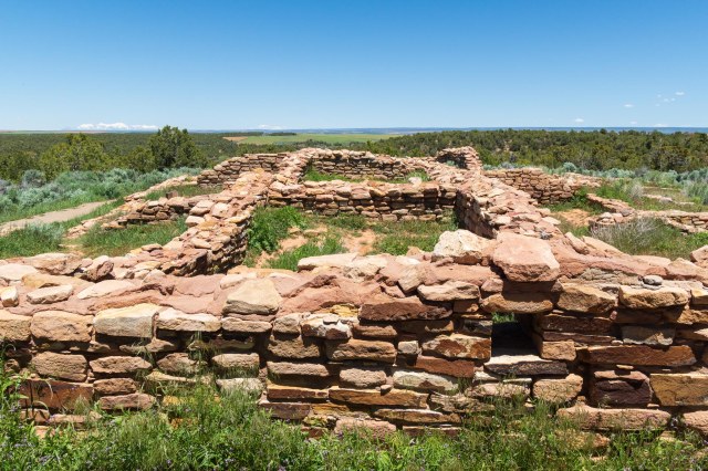
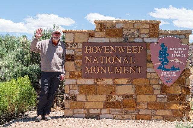
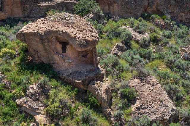
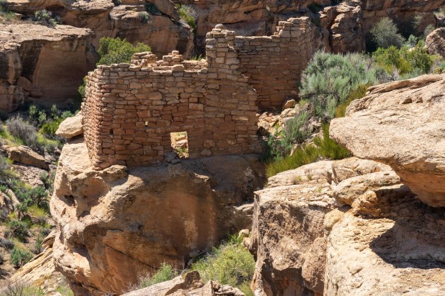
Hovenweep National Monument
President Warren G. Harding proclaimed Hovenweep a part of the National Park Service in March 1923.
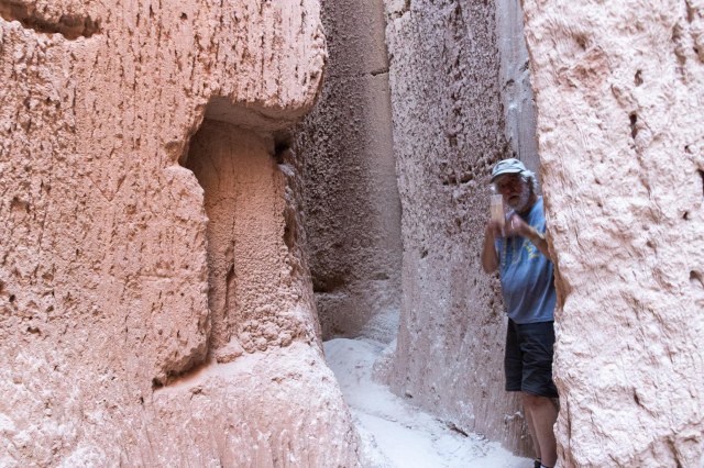
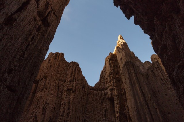
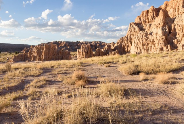
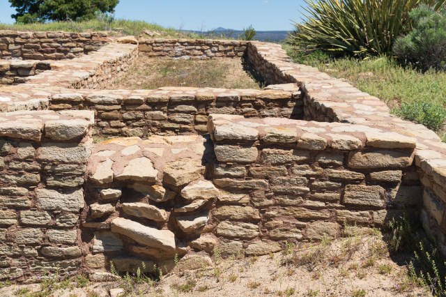
As many as 2,500 people lived in the six prehistoric villages built between 1200 and 1300 A.D. Hovenweep is known for its multistory towers lining the canyon rims and balanced atop boulders. Photos are from the Square Tower group. The only group of ruins accessible from a paved path.
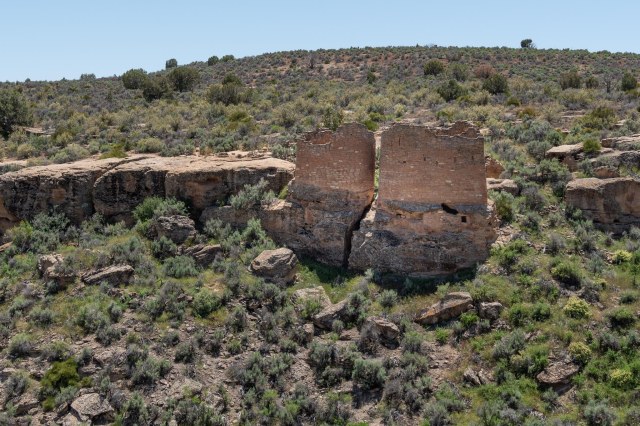
The function of the towers, many shaped like the letter D, remains a mystery. Some theorize they were used as celestial observatories, defensive structures, storage facilities, civil buildings, homes, or a combination of all these.
Occupation ended around the later part of the 13th century due to a prolonged drought and depletion of resources, or factionalism, or warfare. The actual reason is still unclear. However, it is believed the ancestral Puebloans migrated south to the Rio Grande Valley in New Mexico and the Little Colorado River Basin in Arizona. The Pueblo, Zuni, and Hopi people of today trace their heritage to culture from the Four Corners region.
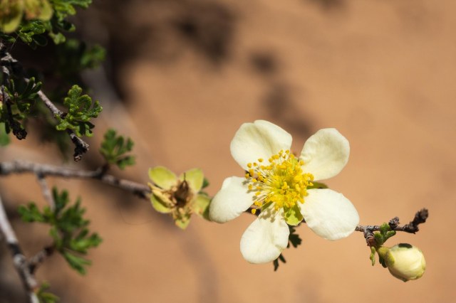
To wrap up this post, I present a delicate flower I found along the pathway to the ruins. With its soft white petals and yellow stamen, I couldn’t pass up the photo opportunity to contrast with the masonry work of the ancients.
It would seem as though once you see one stone building lasting over a thousand years, you’d seen them all. That wasn’t the case for me. All of the structures were unique in their craftsmanship and given the tools they had available to them, the architecture and construction impressive.
Next up: We visit Mesa Verde National Park in the next post.
Safe Travels