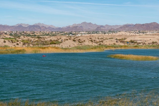
Most people drive past the City of Barstow on I-15 to or from Las Vegas, or I-40 to or from the Colorado River, or points beyond. So intent on their destination, they don’t even think of what hides behind the sound walls. Like many towns along Route 66, it’s a place to stop and explore. To avoid a 9 or 10-hour drive from Lake Havasu to our home in Pleasanton, we chose Barstow as a waypoint stop, extending our stay to two nights instead of our normal one. Here are just a few of the places to visit in the area.

Calico Ghost Town Regional Park
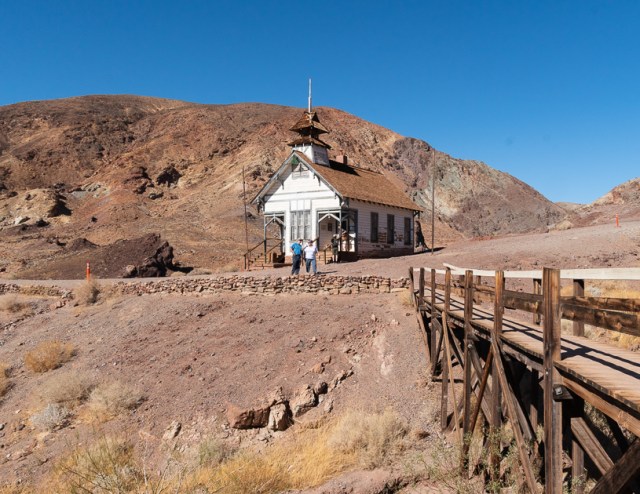
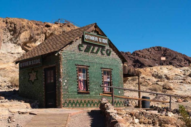
Although we had brought our kids to Calico years ago, we wanted to see what might have changed over the years. As usual when we visit a place we haven’t been to for a while, the only things we could remember were the western-style buildings.

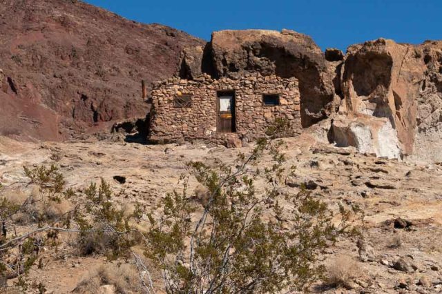
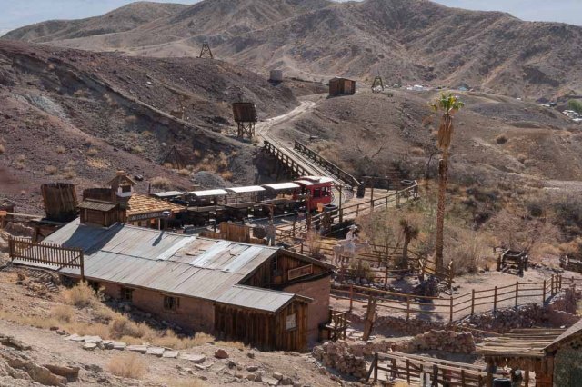
Calico got its start as a silver-mining district in 1881. With over 500 mines working in the area from 1881 to 1907, Calico produced $86 million in silver and $45 million in borax, or thereabout. Different sources quoted different amounts. The population grew to 1,200 with 22 saloons, a China Town, and a red-light district. When a drop in silver prices from $1.31 an ounce to $0.63 in the mid-1890s, the mining stopped, the population dwindled, and Calico entered its ghost town stage.
Walter Knott—who founded Knott’s Berry Farm in the 1940s—purchased Calico in the 1950s and saved it from further destruction. He restored five of the original buildings to look as they did in the 1880s and made additional improvements, then donated the town in 1966 to San Bernardino County. Arnold Schwarzenegger later proclaimed Calico as California’s Silver Rush Ghost town.
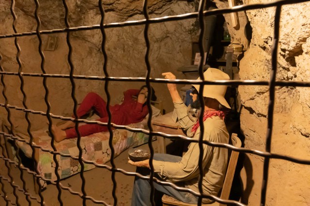
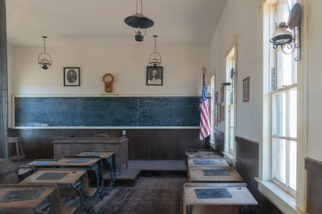
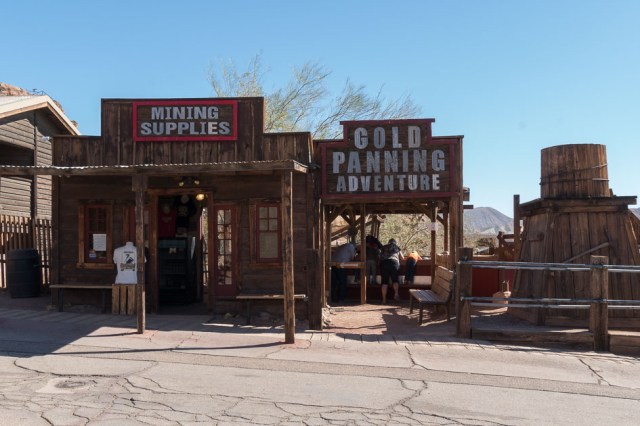
Kids and adults have fun panning for gold, touring the Maggie Mine, taking a scenic ride on the Calico/Odessa Railroad, peaking through the windows of the 1880s replica schoolhouse, and posing for an old-time photo.
Shoppers can wind their way up the hill and visit a variety of shops along the way, including shops selling western-style clothing, crafts, rocks and minerals, housewares, maps and books, and so much more.
Even Fido has his own store, the Dorsey’s Dog House. They cater to man’s furry friends, selling treats and accessories. And if you need a place to stay, there are full hookups and off-highway camping available, including restrooms and showers.
There’s no need to pack a lunch for your visit. Calico House Restaurant serves breakfast, lunch, and dinner. For beverages—alcoholic and non—pizza, baked potatoes, hot dogs, and nachos check out Lil’s Saloon. If deli sandwiches are more to your taste, belly up at Old Miner’s Café.

Be sure to stop at the Lane House and Museum to learn about the First Lady of Calico. Lucy Bell arrived at the height of the silver boom in 1884 when she was 10 years old. She spent her high school years split between Calico and Pomona and later married John Robert Lane, the water superintendent at Calico, in 1893.
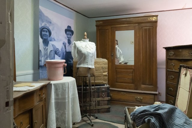
They operated a general store and made their home in Calico, staying through the mid-1890s. As the miners left town, they left their claims as payment for what they owed the store. Occasionally, the Lanes left Calico to work in other mining camps, but once they made money from a quicksilver mine, they returned to Calico and fixed up their home and store. After John’s death in 1934, Lucy stayed on in Calico, spending her winters with family. She lived in the same house until her death in 1967 at the age of 93.

Peggy Sue’s 50’s Diner
After our walk around Calico, we drove across Interstate 10 to Peggy Sue’s Diner for lunch. Built in 1954, the original portion of the diner was made from railroad ties and mortar from the Union Pacific Rail Yard. It included 9 stools and 3 booths.
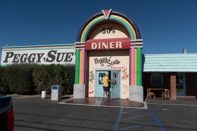
The owners, Champ and Peggy Sue, reopened the diner in 1987 to restore and preserve it and to have a place to display their movie and TV memorabilia. Then came the expansions that added space to accommodate an increase in business, a 5 and dime store, soda fountain, ice cream parlor, and pizza parlor. Later, they created Diner-saur Park with trees, dinosaur sculptures, ponds, and walking paths. Drivers will appreciate taking a break from the hustle and bustle of the freeway traffic and kids will enjoy getting their wiggles out at Peggy Sue’s.

Casa Del Desierto Historic Harvey House
Our next stop was Casa Del Desierto Historic Harvey House. Designed by Mary Colter in a Santa Fe style and originally built between 1910 to 1913, this restored building once housed the Harvey Hotel and Restaurant and the Santa Fe Railroad depot. It was listed in the National Register of Historic Places in 1975 and is owned and operated by the City of Barstow.
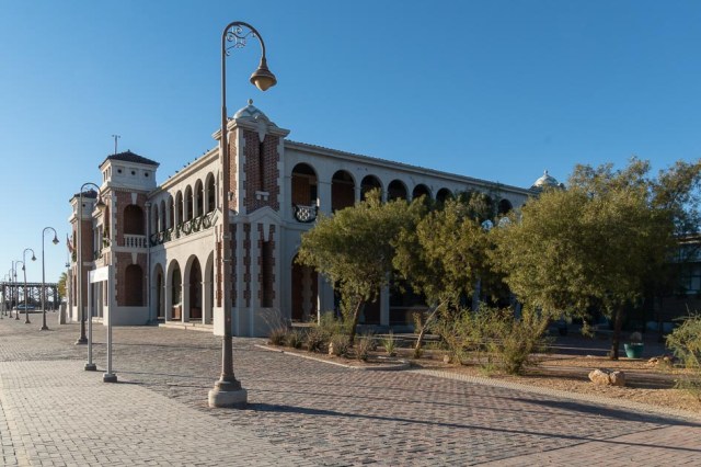

Housed in parts of the building are the Western America Railroad Museum and the Route 66 Mother Road Museum.
Western America Railroad Museum
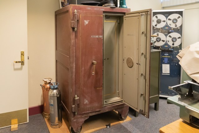
Displayed next to the parking lot are several rail cars, engines, and various railroad equipment, artifacts, and memorabilia. The room containing the “date nails” fascinated me. There are so many of them. What were they? What did they mean? The nails were used to tag the railroad ties with the date of their installation. The railroads discontinued using the nails in the 1970s, and they are now collector items.

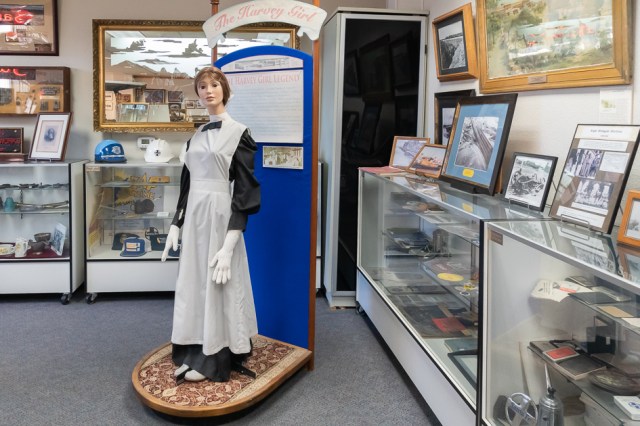


Route 66 Mother Road Museum
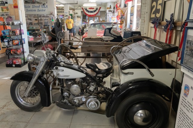
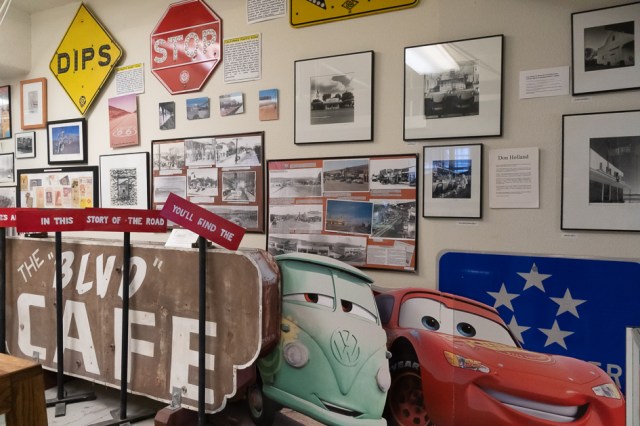
Previously known as the National Old Trails Road, a newly numbered highway system renamed the road Route 66. The Mother Road, Main Street of America, and Will Rogers Highway are other names for Route 66. The museum held its grand opening on July 4, 2000. Come for the displays and collections of historic photographs and artifacts; buy souvenirs, gifts, Route 66 clothing, and other items at the gift store; and leave with a bit of nostalgia in your heart.


Other places to see in and around Barstow include:
- Mojave River Valley Museum
- The Calico Early Man Site—shown as permanently closed on Google, but who knows, perhaps it will reopen someday
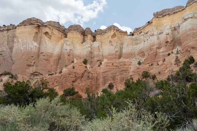
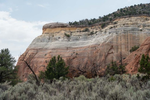
- Hike or four-wheel through Rainbow Basin Natural Area
- Visit the NASA Goldstone Visitor Center (once it reopens)
- See the second-largest meteorite weighing 6,070 pounds discovered in 1975 at the Desert Discovery Center
- Or walk around Main Street and snap photos of the murals
- And for people who have cash or a credit card burning a hole in their pocket or purse, there’s always the Outlets at Barstow
We may need another few days of exploring in Barstow the next time we’re driving that way.
This concludes our 2022 Fall Tour. We’ll be back next time with a few close-to-home visits near our home.
Safe Travels