The promise of dinosaur tracks, petroglyphs, lower elevation and, best of all, warmer weather within an hour from Panguitch was a welcome surprise after the freezing temperatures of Cedar Breaks.

Dinosaur Tracks
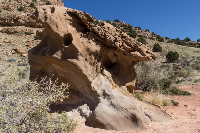
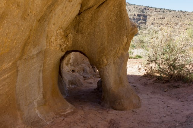
We headed east from Interstate 15 on Gap Road through ranches and farms, and then passed Little Salt Lake until we came to Highway 130 where we turned right. A few miles later, the road veered left toward the Red Hills and we came to a parking lot with interpretive panels and interesting rock formations. Metal markers like the one in the photo below marked the spots where the footprints could be found.
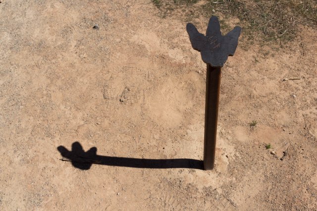
Hadrosaurs, or duck-billed dinosaurs, left the tracks some 65 to 75 million years ago when they stepped in mud. Pebbles and sand filled the footprints left by the dinos and later turned into rock. Erosion over millions of years revealed the tracks for us to see today.
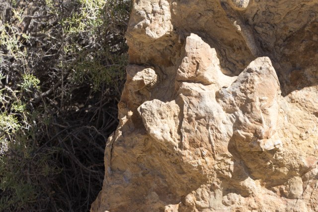
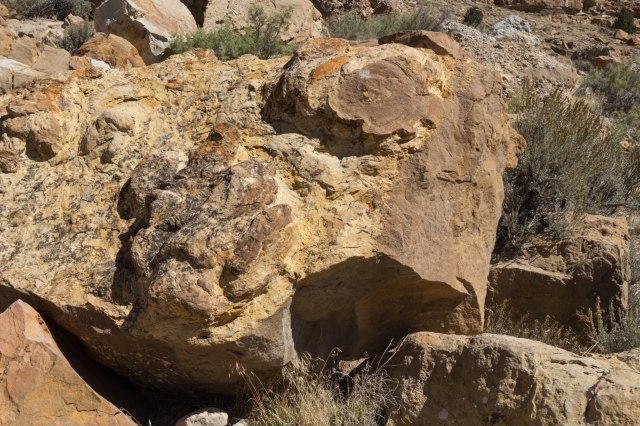
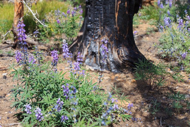
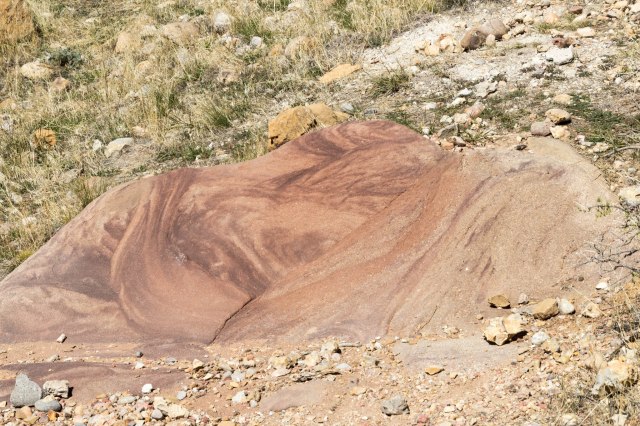
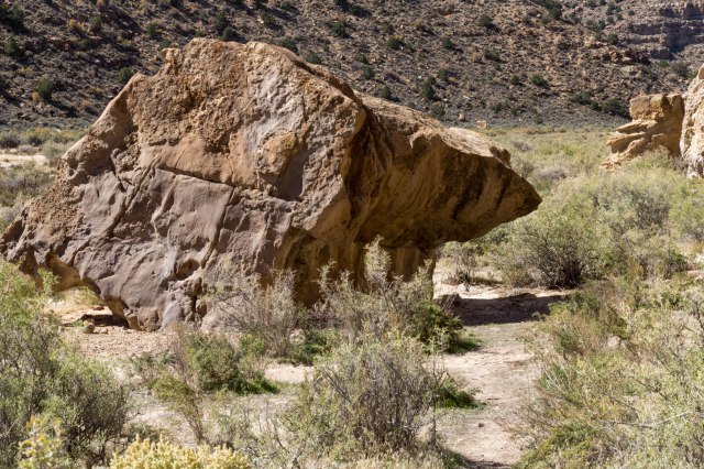
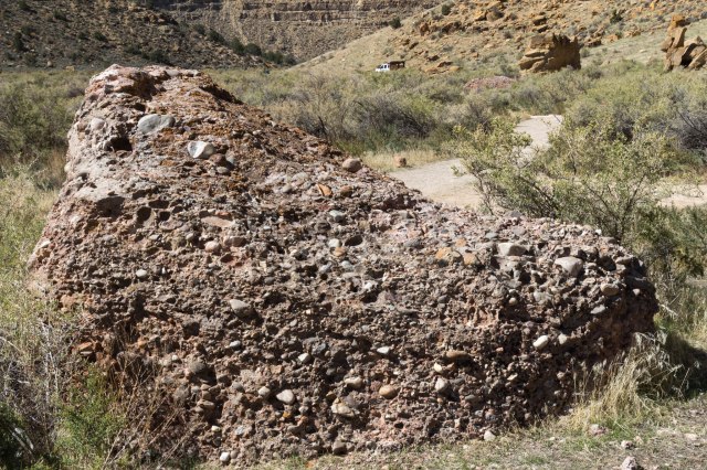
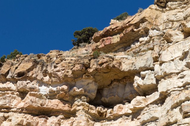
This area is strewn with a number of different types of rocks such as river rock, volcanic ash, and large boulders, which looked like someone had rolled a bunch of smaller rocks and cement together like a giant snowball.
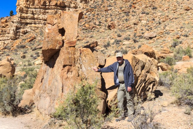
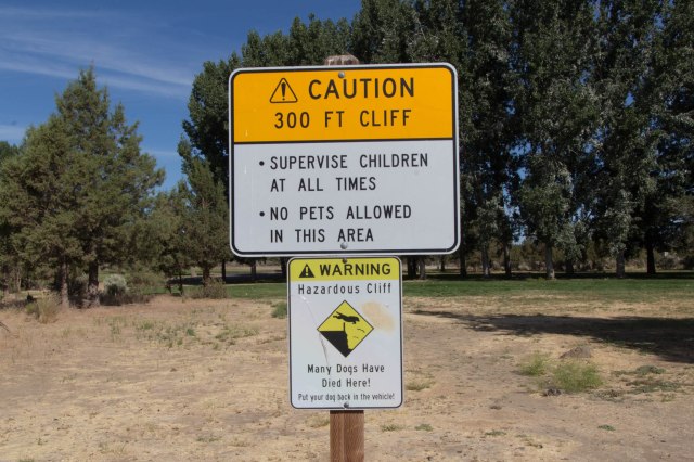
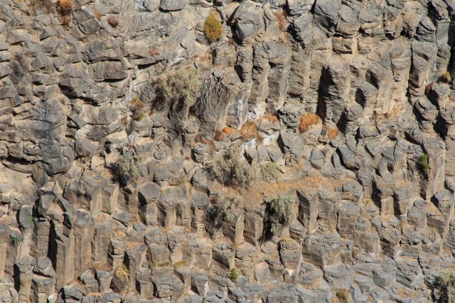
Parowan Gap offers climbers up to 26 different climbing routes to follow. Looking around at all the fallen rock, I sure wouldn’t want to hang from a rope and trust that the cliff would not give way. But rock climbing is something I’ve never done, so who am I to say what’s safe or not?
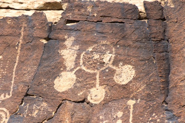
Parowan Gap Petroglyphs
Continuing on Highway 130 a short distance we found a nicer parking area with pavement, shade structures, picnic tables, and pit toilets. The cliffs at Parowan Gap display a great number of petroglyphs that tell stories of the early people who inhabited or traveled through the area. If we only had a translator app on our phones to decipher the figures.
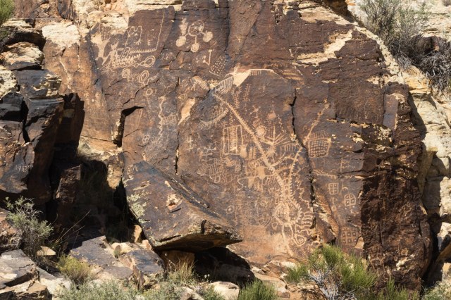
Included on the National Register of Historic Places in 1969, it is a wonder that the figures created a thousand years ago or more have survived destruction by people of more recent generations. I could have stood for hours gazing up at the etchings on the cliff walls trying to decipher their meaning.
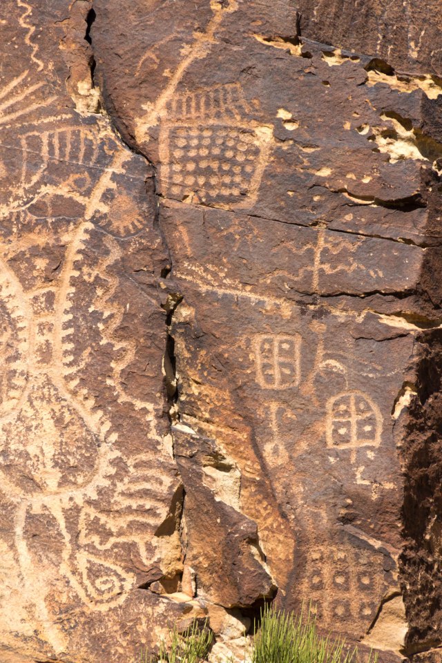
Did the Fremont and Southern Paiute cultures leave them as works of art, religious significance, or tales of bravery and danger?
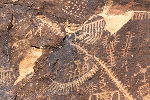
Some people may even suggest the figures depict alien beings that visited earth before modern times.
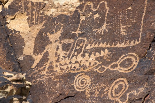
Do they represent family history, hunting and gathering trips, sources of water, travel routes?
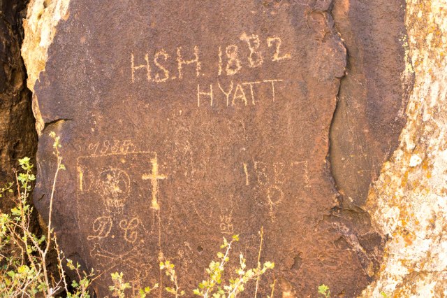
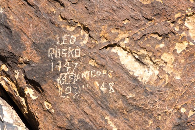
People in the 1800s and 1900s also recorded their passage through the gap. I wonder who H.S.H. or Hyatt and Leo Rosko were, where they came from, and where they were going in 1882 and 1947. Did D. C. fancy himself a pirate or maybe the design refers to an early motorcycle gang?
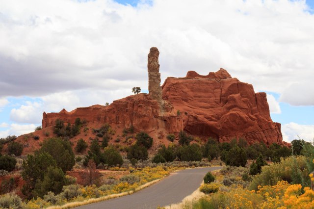
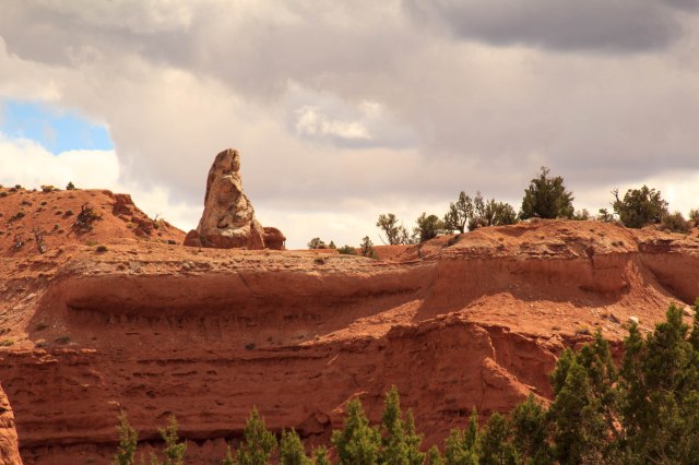
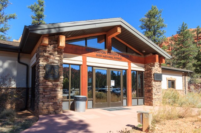
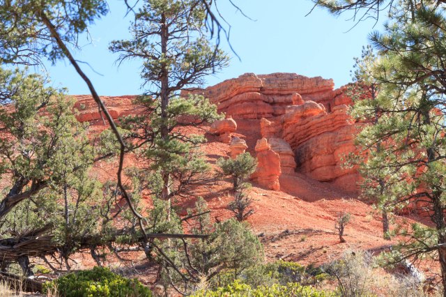
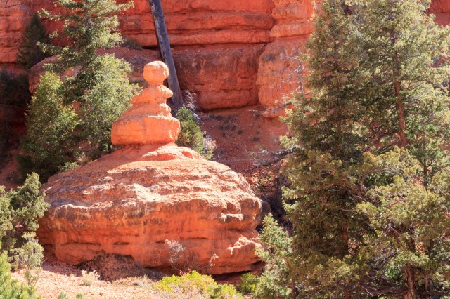
Red Canyon Visitor Center USDA Forest Service
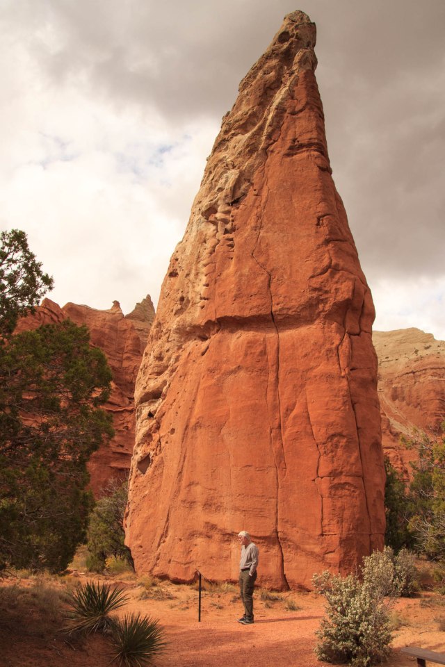
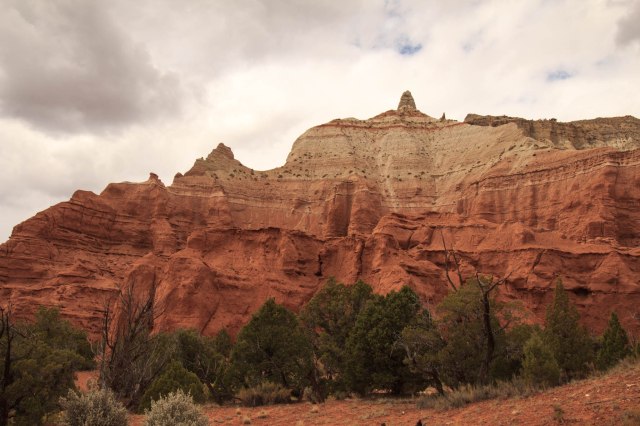
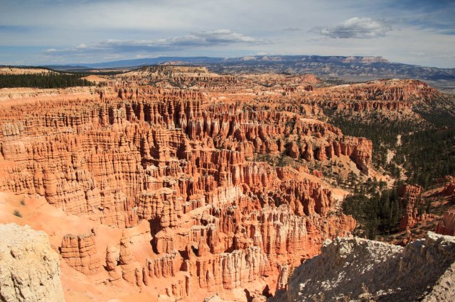
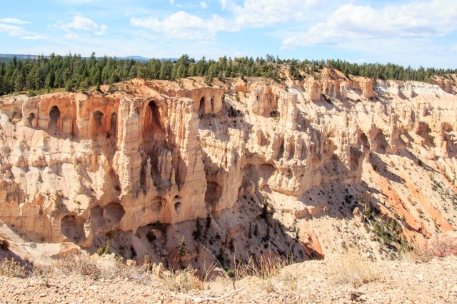
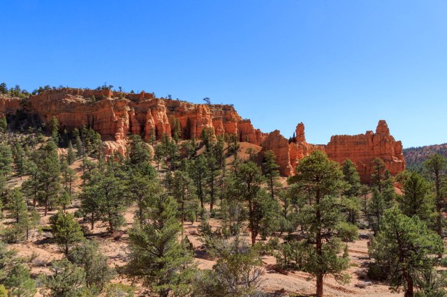
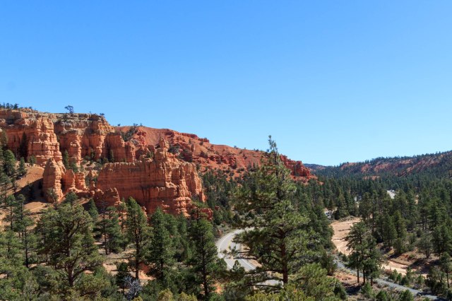
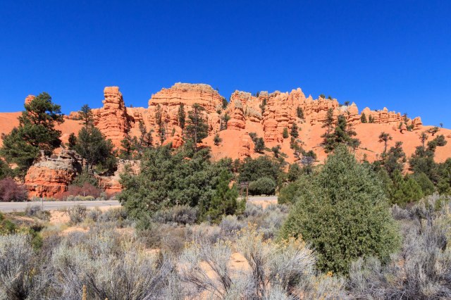
Our last day in the area was a short jaunt to the red cliffs and hoodoos at the Red Canyon Visitor Center off Highway 12, the route to Bryce Canyon National Park.
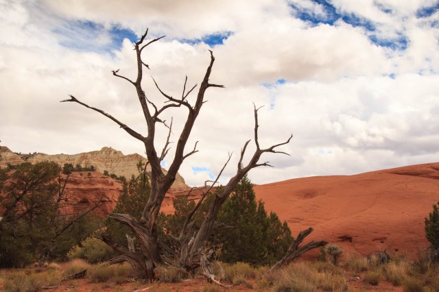
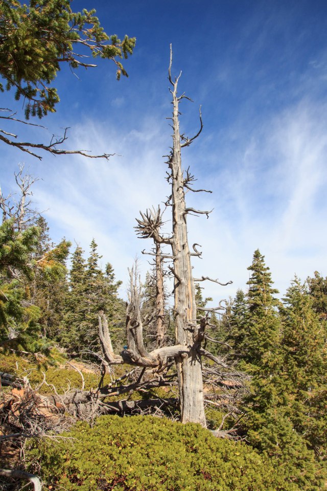
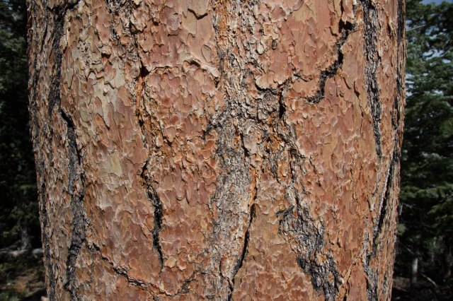
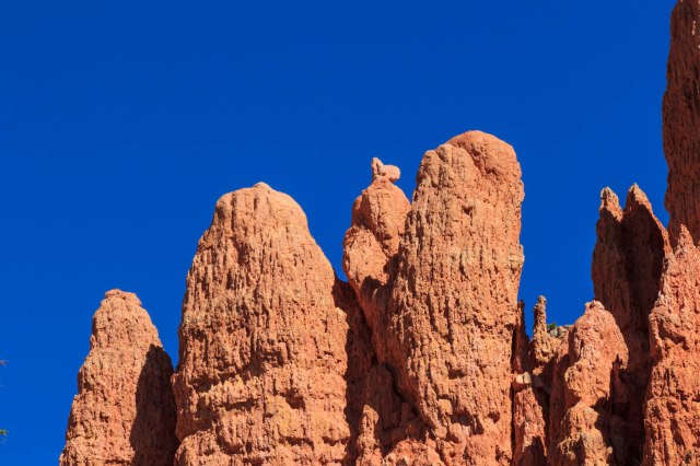
With picnic tables, plenty of parking, and several miles of hikes, the visitor center was a great place to spend an afternoon getting up close and personal with the hoodoos and totems as well as the Ponderosa, bristlecone, and limber pines.
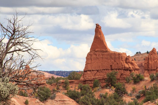
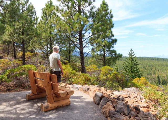
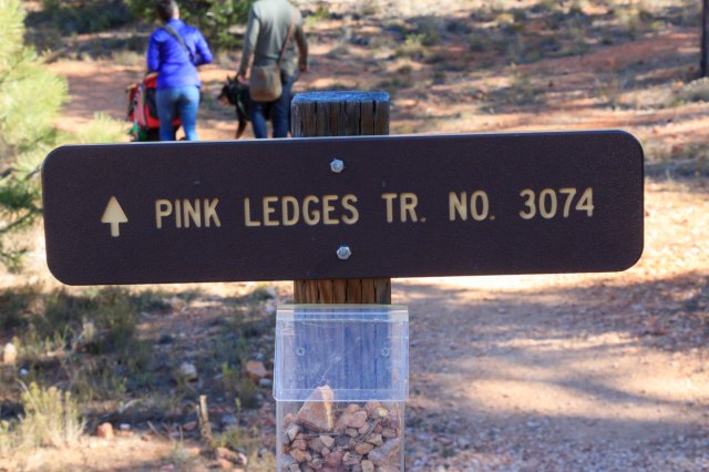
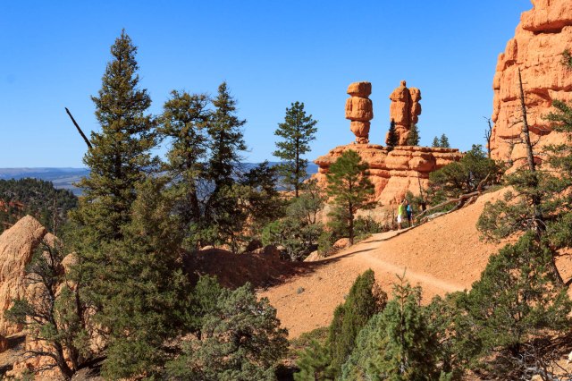
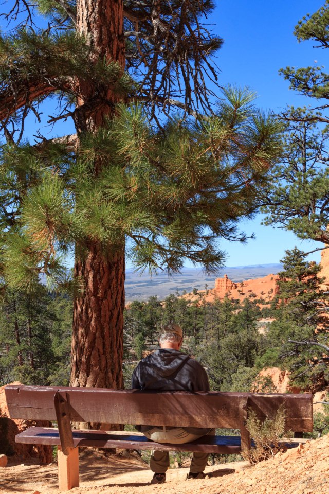
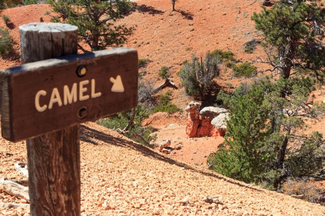
We managed to get a good work out in and gaze out at some awesome views by connecting the Pink Ledges (an interpretive trail), Hoodoo, and Birdseye trails with a portion of the 8.6-mile non-motorized Red Canyon Bicycle path, which parallels Route 12 through the canyon.
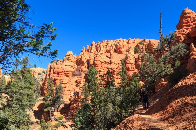
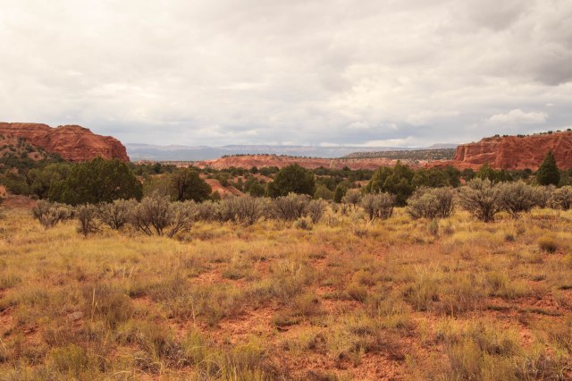
At about our halfway mark, we took advantage of a bench to take in the spectacular views of the valley below.

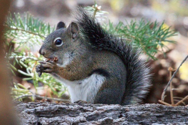
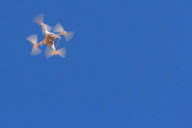
Just as the traffic below had receded into white noise, this drone succeeded in drowning out the chattering birds, scurrying squirrels, and windblown leaves and pine needles. It flew around for about ten minutes and left, a little too long for my comfort level. Too bad the pilot could not have taken the time to enjoy the wonders of Red Canyon in person. To experience a place in person is so much better than watching it fly by on an LCD screen.
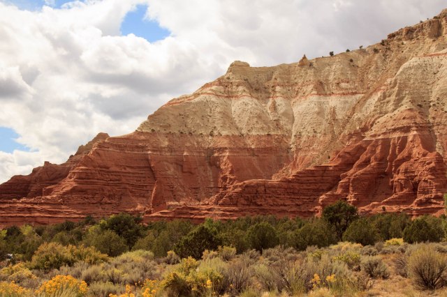
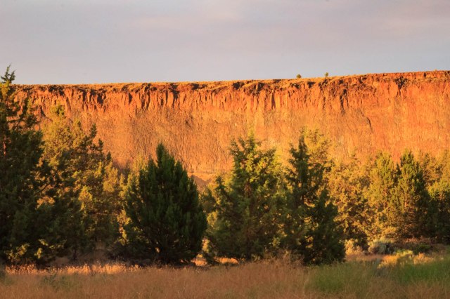
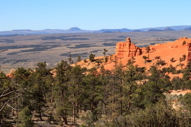
The Red Canyon hills were just as magnificent from across the road as they were when we walked along the trail.
Although we could have stayed for another week, our time in Bryce Canyon and Panguitch had come to a close and Zion or bust became our mantra on October 6, 2017. Stay tuned for more adventure.
Safe Travels