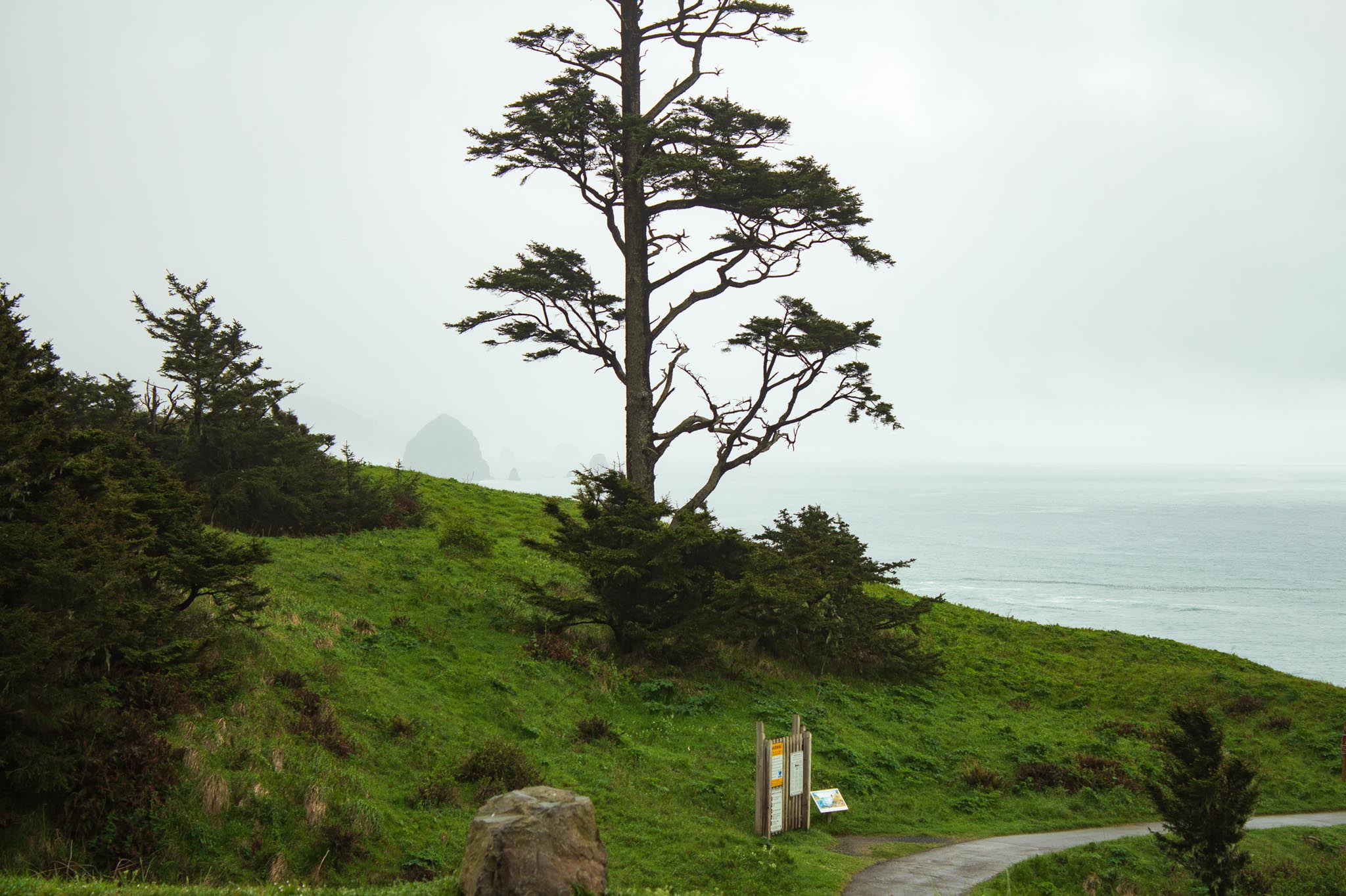
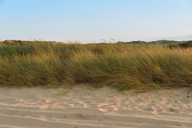
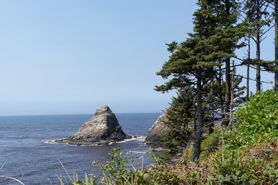
We left Tillamook on July 20, 2024, for Pacific Pines RV Park in Florence, Oregon, where the wind blew harder than we’d seen since we began our adventure at the end of June. Along the way, we stopped to stretch our legs at a turnout that overlooked the ocean.

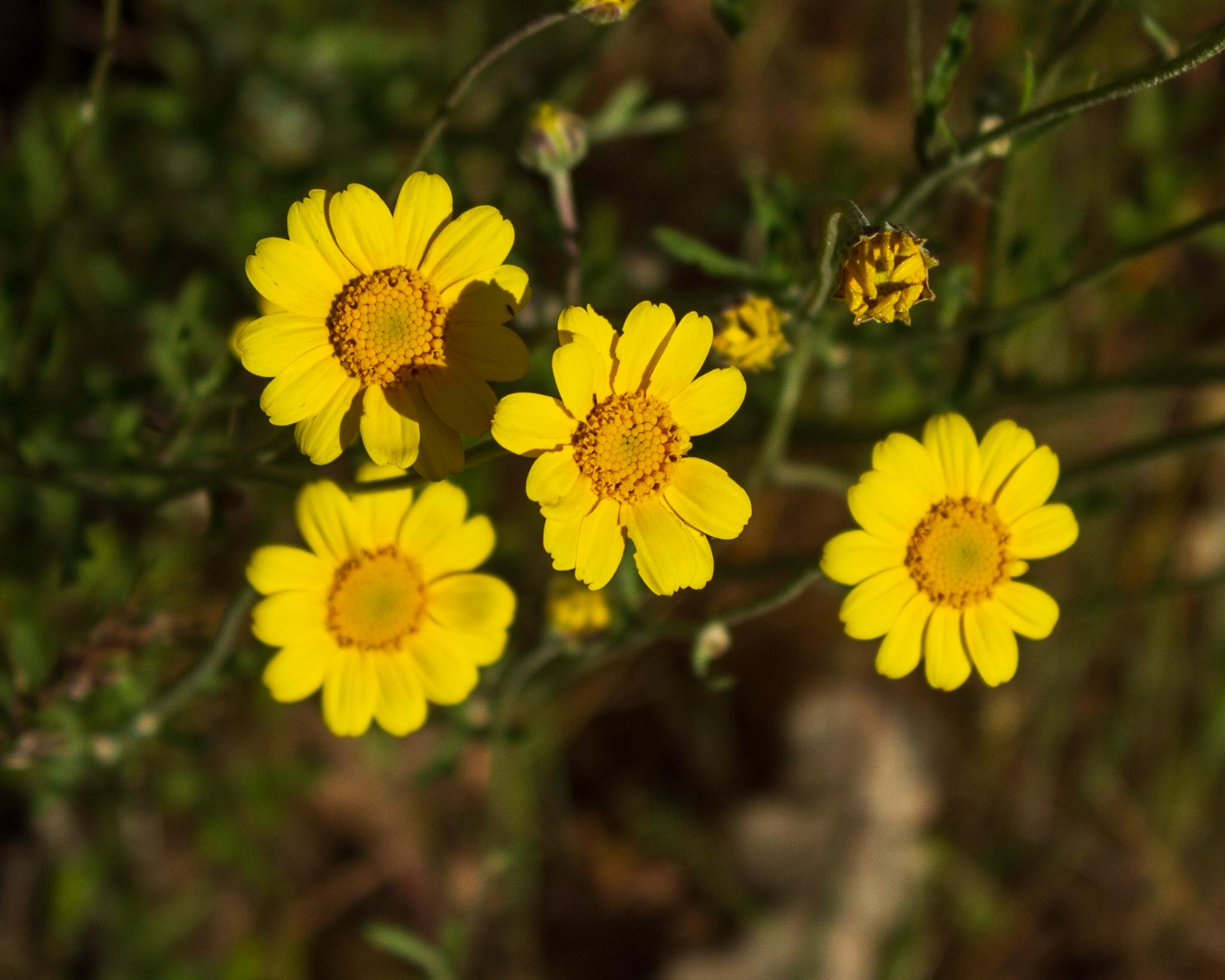
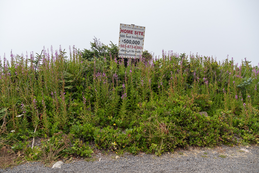
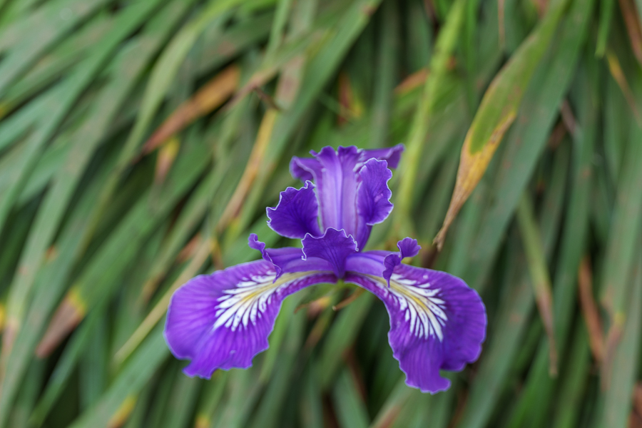
I was taking photos, concentrating on flowers, when Jon came out of the fifth wheel and said, “Hey look. We could build a house on this lot?” Uh, no thank you. Having a home hanging over a cliff that drops into the ocean was not my ideal place to live.


We selected the Waterfront Depot in Old Town Florence, Oregon, to sample the local food offerings and couldn’t resist having the crab cakes for a starter. Luckily, they were the best crab cakes we had ever tasted. My salmon piccata served in a tasty sauce with capers and mashed potatoes and green salad on the side was equally delicious. So satisfied with our meal, we opted for a slice of the carrot cake. We always try different carrot cakes to compare them to the cakes I make. Disappointment usually sets in after one bite. Not this time. My only recommendation was to add a few more raisins.
A Bit of Public Art and the Siuslaw River Bridge
After dinner we walked outside onto the boardwalk, where we spotted the painted creature in the photo below. It is one of several sculptures painted by artists as part of the Dancing With Sea Lions public art project that began in 2016. The sculptures were displayed and then sold to businesses and individuals as a fundraiser for the Florence Events Center.

on the West Old Town Boardwalk next to the bridge
The Siuslaw River Bridge, listed on the National Register of Historic Places since August 5, 2005, opened to traffic in 1936. The Public Works Administration provided the funding.

Several years later, a steel grid deck replaced the original deteriorating wood-plank deck. The mid portion of the bridge is a double-leaf bascule (drawbridge) that opens to 100 feet (34 m). Its latest rehabilitation occurred in 2018. I’m so glad the Art déco design has survived the bridge’s renovations throughout the years. It allowed me to imagine the vehicles and people that might have crossed the bridge ninety years ago.
Oregon Dunes National Recreation Area (ODNRA)
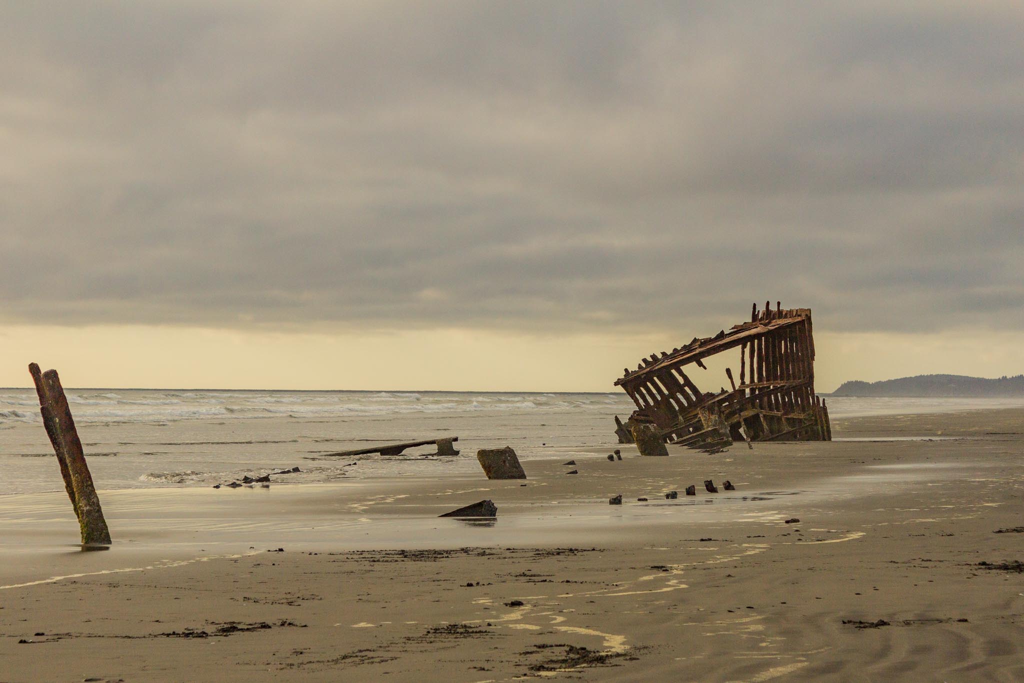
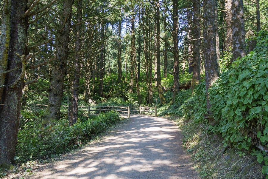
A walk around Old Town would have been nice, had the wind not been blowing so hard. Instead, we drove out on the South Jetty portion of the Oregon Dunes National Recreation Area – North. One might think after a long drive and a filling dinner we’d be ready for a bit of exercise. We had walked on hills much shorter than this one when we were younger and remembered how our legs and ankles ached afterward, so we left the fun to the younger folks.

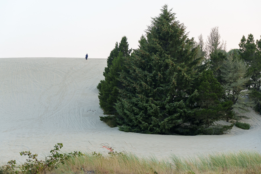
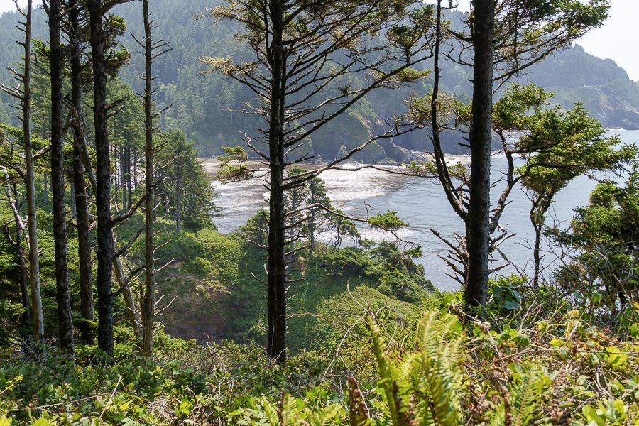
ODNRA spans the Oregon Coast from Florence to Coos Bay. We saw only a sliver of the 31,500 acres of recreational nirvana. Whether families and/or friends opt to visit the northern region or the southern region, they can count on plenty of opportunities to have fun. ODNRA offers OHV riding, hiking, water sports, camping and so much more to choose from.


Heceta Head Lighthouse
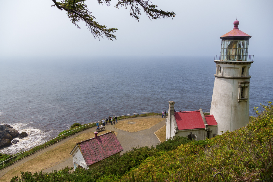
The next day we were off to another lighthouse. The Heceta Head Lighthouse cast its first beams of light across the waters on March 30, 1894, two years after its Fresnel lens was ordered from France.

The lighthouse is named after Don Bruno de Heceta. On an expedition of the West Coast ordered by the Queen of Spain in 1775, Heceta noted the shallow waters and rocky headland. A hundred years later, mariners requested a lighthouse to help them navigate along the coast.
The three lightkeepers and their families lived a harsh and isolated existence for the first 40 years of the lighthouse. They must have rejoiced when US Route 101 opened to traffic. It’s no wonder many of them left because of the severe weather and isolation.
Two of the keepers stand out for their long stays. Olaf Hansen stayed on for 16 years. He brought a post office, a schoolhouse, and gardens to the complex. Cap and Ma Herman witnessed many changes at the lighthouse during their stay between 1925 and 1950.

Soon after the Herman’s arrival, the construction of US 101 began, and along with the highway came electricity. In the late 1930s, the US Lighthouse Services, which was disbanded, transferred the lighthouse to the US Coast Guard.


Under the Coast Guard Beach Patrol during World War II, seventy-five men with attack dogs patrolled the Heceta Head. The men lived in wooden bunkers during their deployment. After the war, two men and their families remained at Heceta.


In 1963, the Coast Guard turned over the keeper’s house to the US Forest Service, and head keeper Oswald Allick was the last keeper on the site.
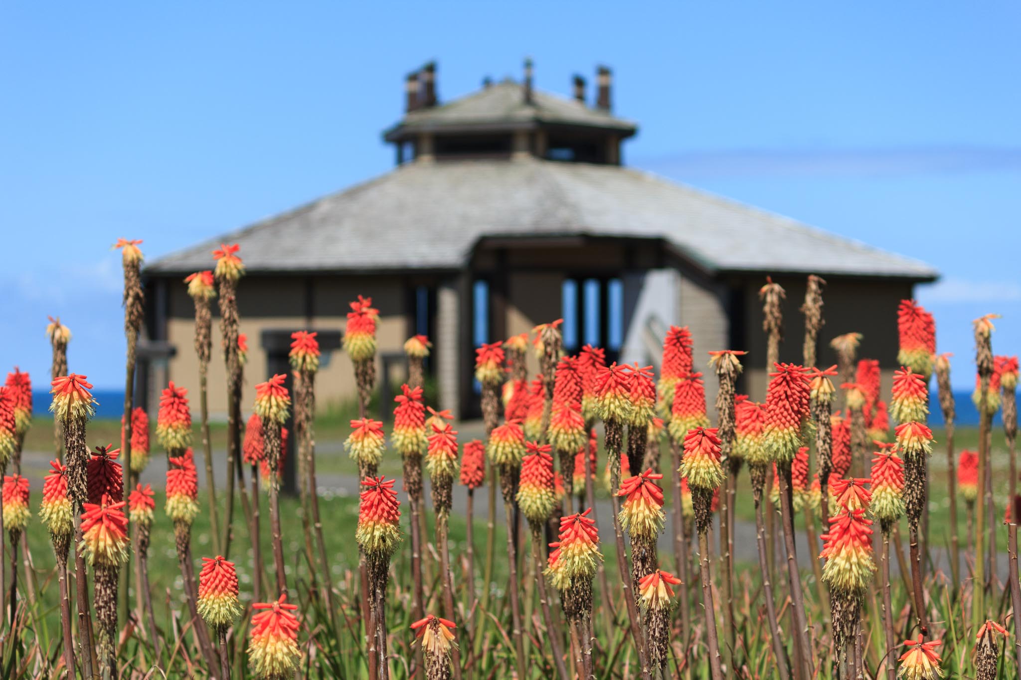
Heceta Lighthouse B&B
Fancy a stay at a B&B near the lighthouse? Reserve a room at the Heceta Lighthouse B&B. The inn has three rooms with private baths and two rooms with a shared bath. The non-smoking rooms include a social hour with local wine and cheese and a seven-course breakfast in the morning.

Placed on the National Registry of Historic Places in 1973, the USFS turned the house into a bed-and-breakfast. Proceeds from the inn and gift shop fund the maintenance and restoration.
Mike and Carol Korgan became the first innkeepers for the Heceta Lighthouse Bed & Breakfast in 1995 as volunteers. They began an interior restoration of the inn, and when they retired, their daughter Michelle took over.

Docents use the bottom floor of the house as an interpretive center to give free tours. Our timing wasn’t quite right to take advantage of the tour, so we walked around the property and I snapped photos.

I could see myself sitting on the porch, watching the sunset, and sipping a cup of cocoa, topped with marshmallows, of course. “Hey, Jon. Wouldn’t it be fun to stay for a night or two?”

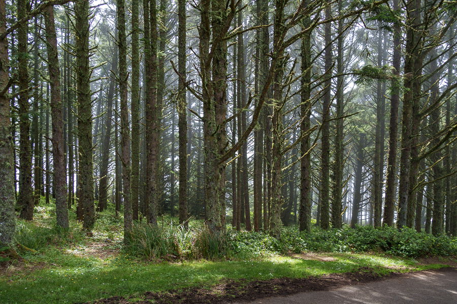
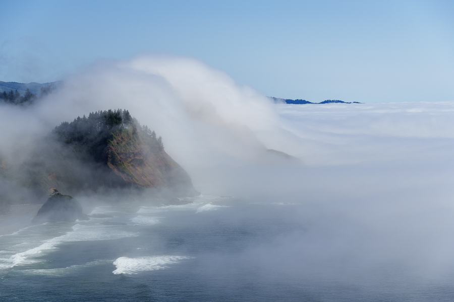
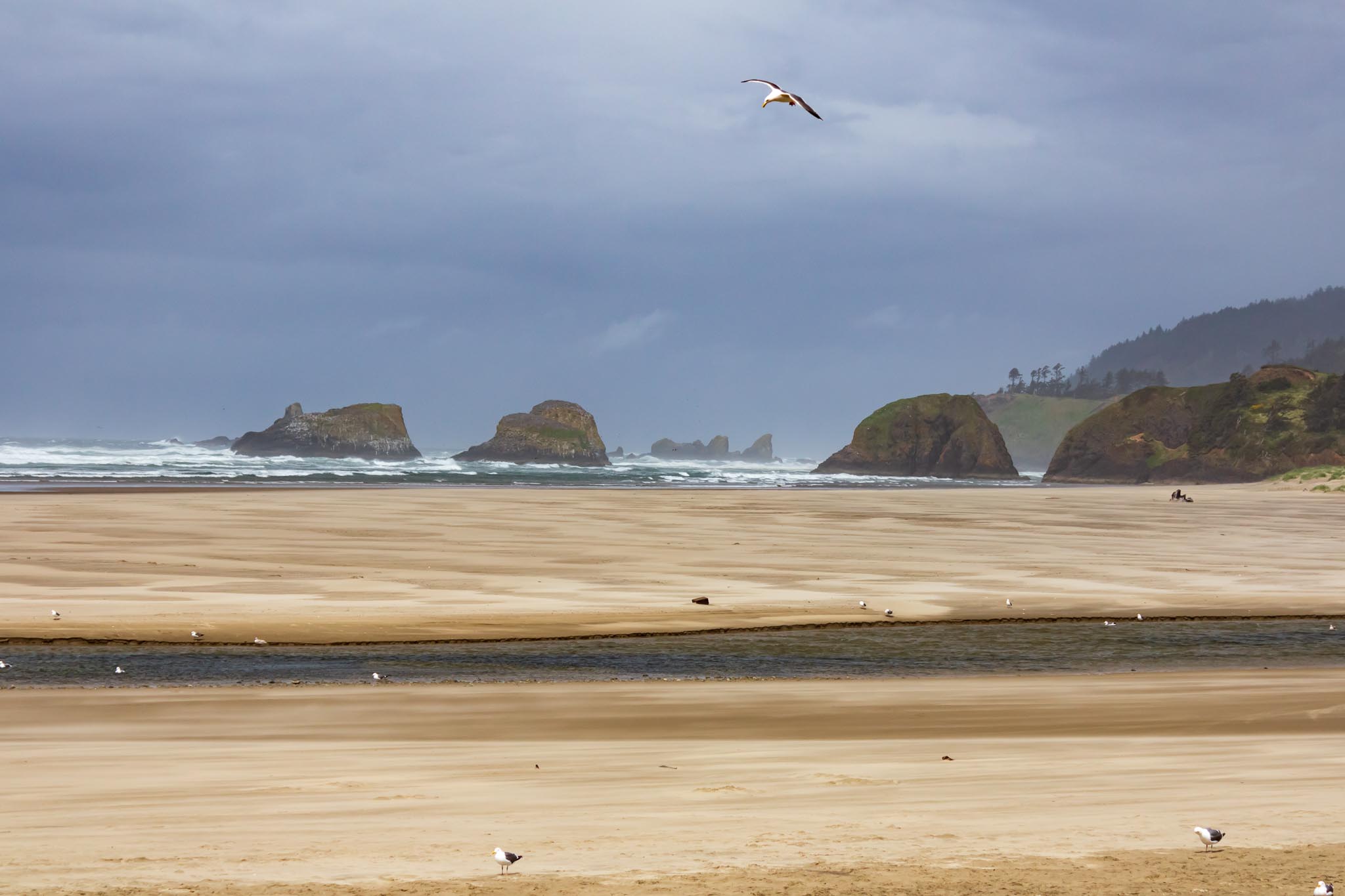
On our way back to the RV park, we paused for a couple of photos of the scenery.


Next up: Coastal views, a herd of elk, and Eureka, California.
Safe Travels