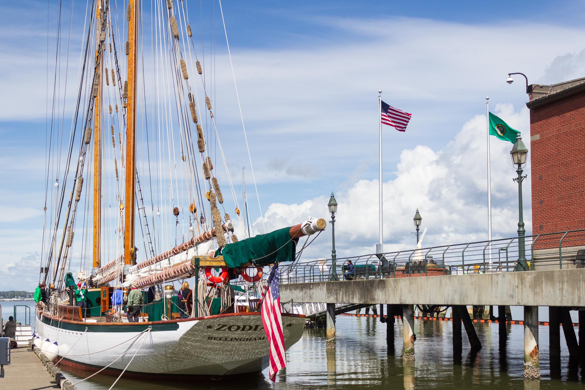
Our first stop on the route toward home was American Sunset RV and Tent Resort in Westport, Washington, on the Point Chehalis Peninsula. We arrived around 3:00 pm on July 16, 2024, leaving plenty of daylight to explore before turning in for the night.
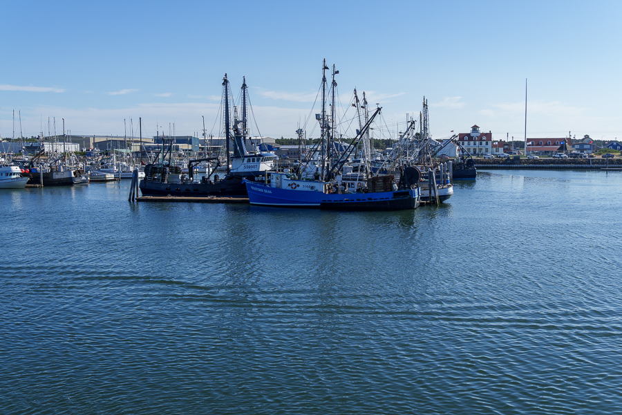
The Port of Grays Harbor’s Westport Marina is the heart of Washington’s seafood business. They claim to have the biggest fishing fleets on the West Coast for both charter and commercial use. That’s quite a feat for a town with a population of only 2,200 people within an area of 4.50 square miles (11.65 km2).

Westport Marina lands, on average, 130 million pounds of commercial seafood by volume, ranking it 10th in the nation. Measured by value, they come in at $72 million, or 19th in the nation. Seafood landed includes: Dungeness crab, salmon, albacore tuna, shrimp, oysters, prawns, and much more. The marina welcomes commercial vessels from 35-feet long to over 100 feet.

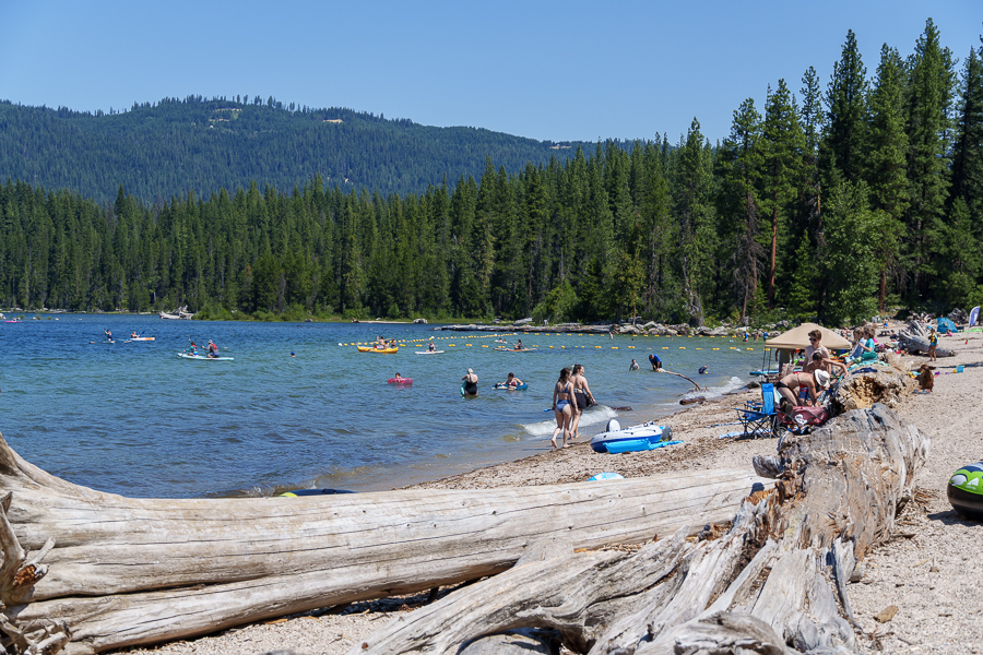
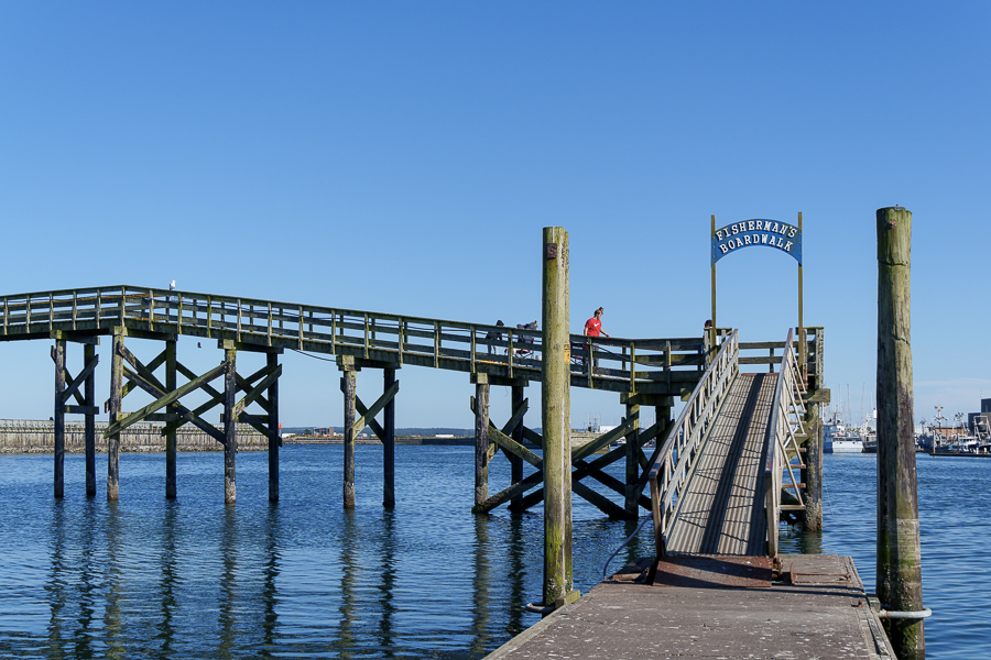
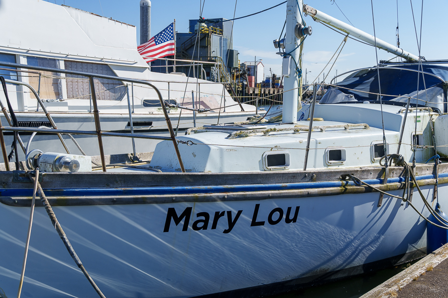
We walked on the Fishermen’s Boardwalk, where several families and couples held fishing poles and crab ring nets as they waited for fish to bite or crabs to crawl into the nets. Many of their buckets contained a dinner’s worth of seafood. Some children joined their parents in the fishing activities, while others stood off to the side engrossed in a separate world.


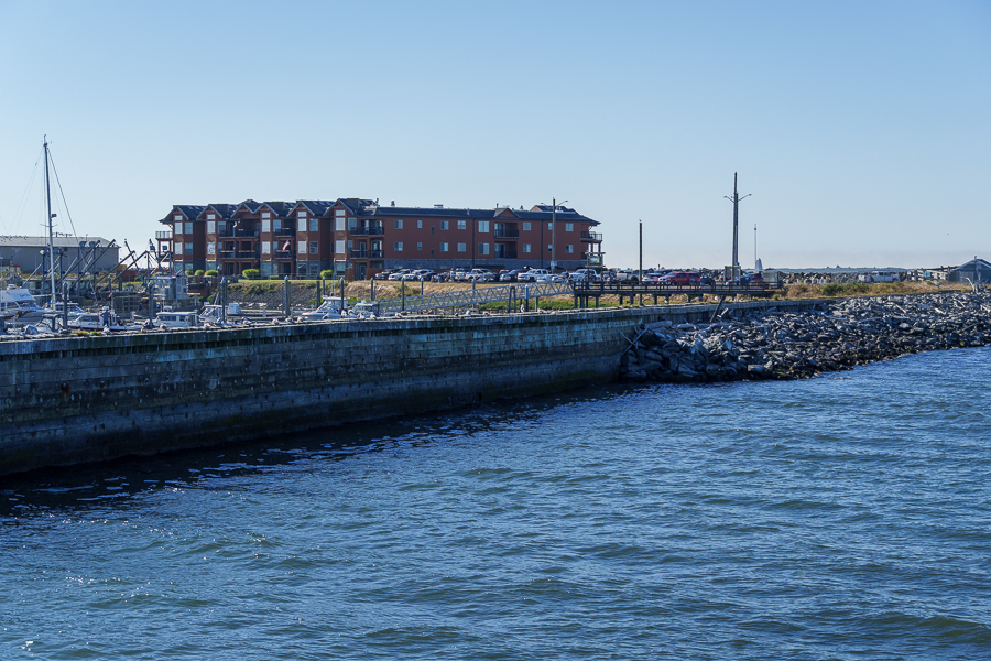

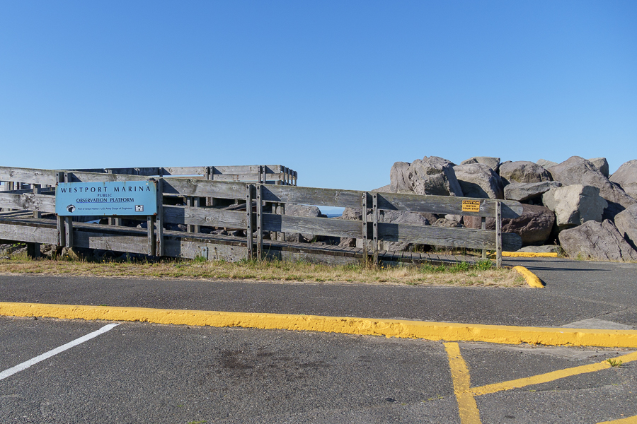
Other amenities for visitors at the Marina include the Centennial View Tower, a public boat launch, a plaza, and restrooms. People not interested in catching dinner or who have had no luck can always purchase directly from the fishermen and fish markets.

The Town of Westport
Nearby Westport is the Shoalwater Bay Indian Tribe. They are descendants of the earliest known settlers on the peninsula, the Lower Chehalis, Lower Chinook, and other people who called the area home.

In 1857, Thomas Barker Speake arrived with his family and other white settlers and named the place Peterson’s Point. Westport’s history, which began in 1914, is a story of economic booms and busts impacting various industries over the past century or more that include: whaling, fishing, military installations, the rise of commercial and sport fishing, harbor safety improvements by the Army Corps of Engineers, introduction of pilot boats, fishing controversies, hard times, recovery, and renewal. For a more detailed discussion, go to: Experience Westport/History of Westport Washington.
One tidbit that piqued my interest was more current event than history: the building of a second tsunami evacuation tower. Made possible through a FEMA grant with a 10% match by Westport, the tower, with an expected completion of 2026, will hold 2,000 people. Long-term plans call for the building of an additional tower. Then, plans changed. The current administration canceled many of the scheduled federal grants on April 4, 2025, including the Westport Tsunami tower.
Because $13.7 million was already “obligated,” the community gained hope the project will move forward. Then at the end of May 2025, the grantee extended the period of performance until December 2027, further raising hopes of completion. Those in charge must feel like they had climbed aboard a roller coaster that had lost its brakes.
Ocosta Elementary School was the recipient of the first tsunami tower as part of the construction of a replacement school. This tower has a dual purpose. Classrooms, a library, kitchen, and administrative spaces occupy the structure, which can hold 1,000 people, withstand a 9.2 magnitude quake, and resist tsunami waves. The tsunami that resulted from the 8.8 magnitude earthquake in Russia on July 30, 2025, failed to reach levels requiring the use of the tower.
Westport has more to offer besides fishing and crabbing. Visitors can enjoy beach activities, wander through the history and maritime museums, or learn about growing cranberries at the cranberry farm and museum. Unfortunately, our days in town didn’t coincide with the museums’ open days. We’ll plan our trip better next time so we’re there Thursday through Sunday.
Westport Light State Park
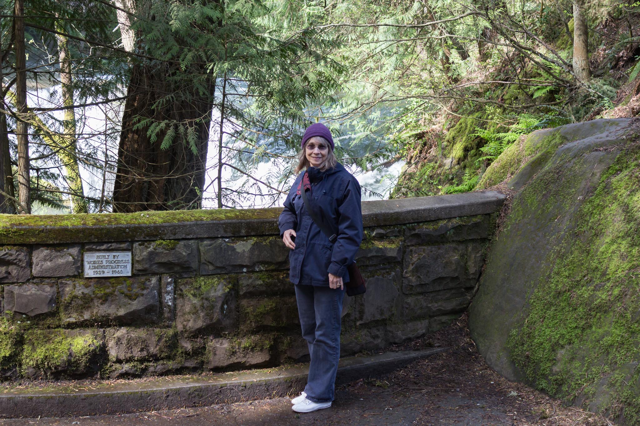
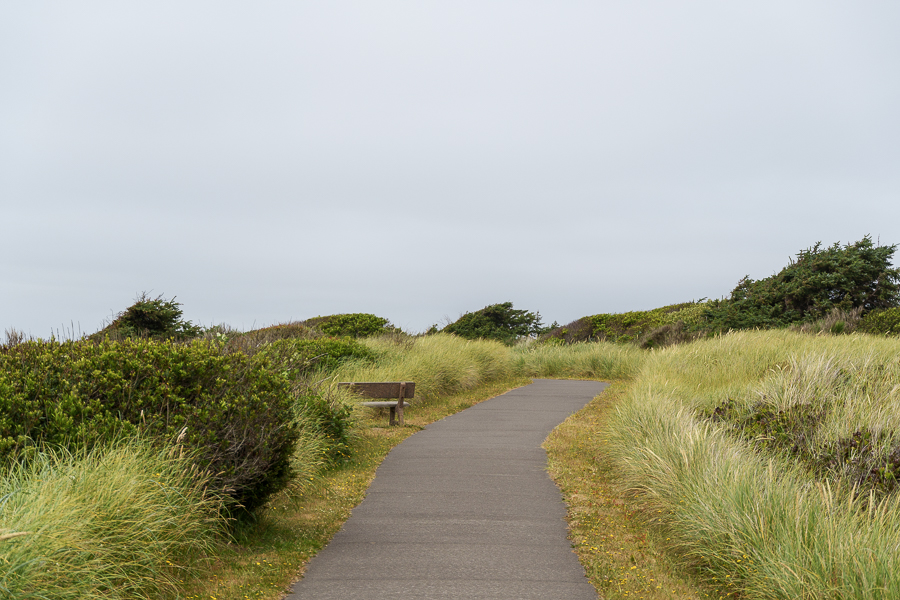
With the museums closed, we settled on visiting the lighthouse at Westport Light State Park, even though it was also closed. The 560-acre park is day use only and includes 1,215 feet of shoreline for surfing, exploring, saltwater fishing, crabbing, and clamming. An outdoor shower and two indoor accessible showers are available for surfers and beachgoers.

Our search for the lighthouse took us on the trail from the parking lot east, then south, then west for four miles around an extremely lengthy block. We should have gone south from the parking lot, then east, and it would have only been one and a half miles.

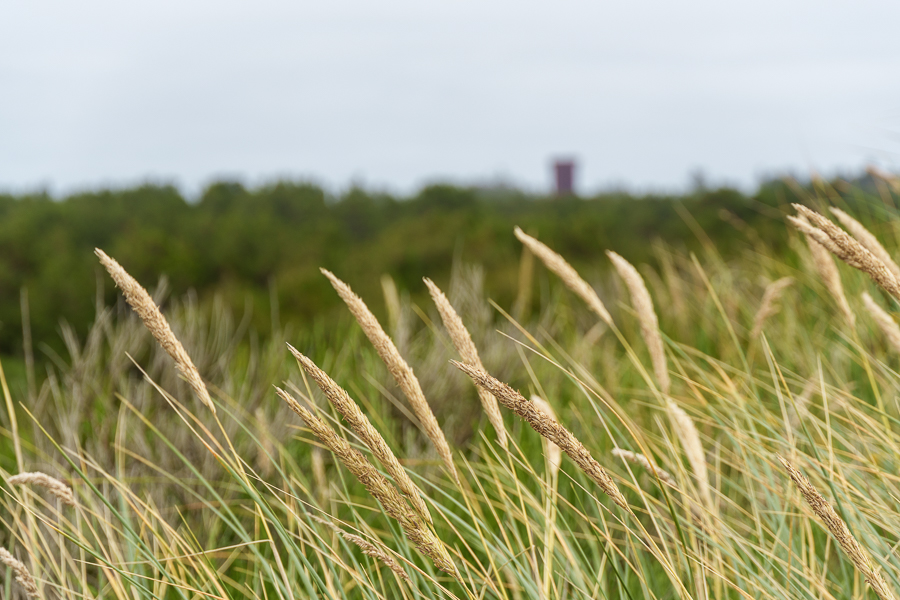
The following photos depict the views on our trek to the lighthouse.


Although most of the way was enjoyable, parts of it were not, so we had to ask for directions. We contemplated calling an Uber. Unsure the small town had one, we persevered and made the loop. Had we gone the short distance, we would have missed out on the magnificent views and photo opportunities.


On August 9, 2025, I read on The Daily World website that someone had pried off and stolen several memorials embedded in cement and on the benches. Apparently, it’s the State Park’s responsibility, not the city’s. Either way, what a shame for the people who had them placed there to honor their loved ones.


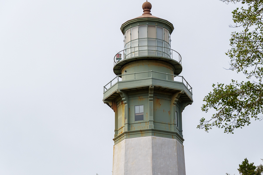
Built in 1897 and lit in 1898, Grays Harbor Lighthouse stands at 107 feet, the tallest lighthouse in Washington State. At that time, the lighthouse replaced more primitive gear to light the way for ships entering Gray’s Harbor.

The RVs next to the lighthouse belong to work campers who volunteer 20-25 hours a week, depending on the season, for a full hookup site. If interested in joining the ranks, check out the park’s website.
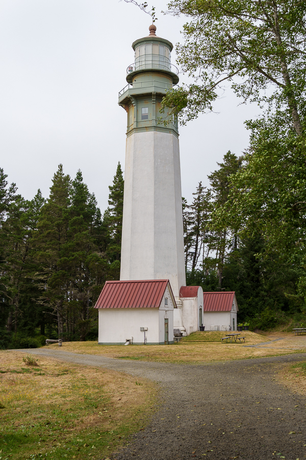

When the lighthouse began service in 1898, it stood 400 feet from the high tide line. Thanks to sediment from the rivers and streams that flow into the Pacific, accretion over 127 years has moved the shoreline 3,000 feet to the west.

We enjoyed walking around the harbor, and visiting the lighthouse was the highlight of our walk. We got up close enough for more detailed shots of the buildings without disturbing the work campers in their RVs. No one came out, so we guessed they were off having an adventure of their own.
Next Up: We drop into Oregon and stop for a visit at the Tillamook Creamery
Safe Travels