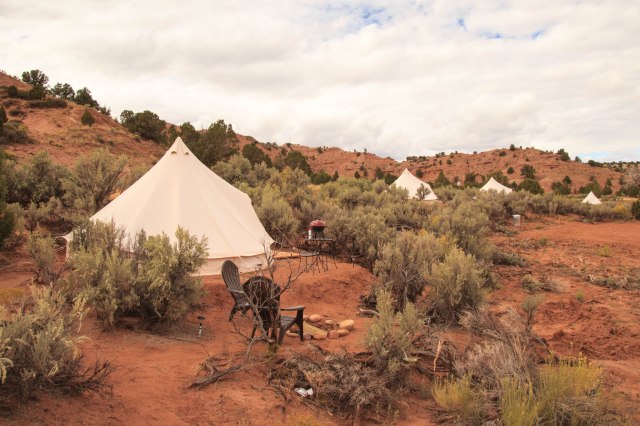
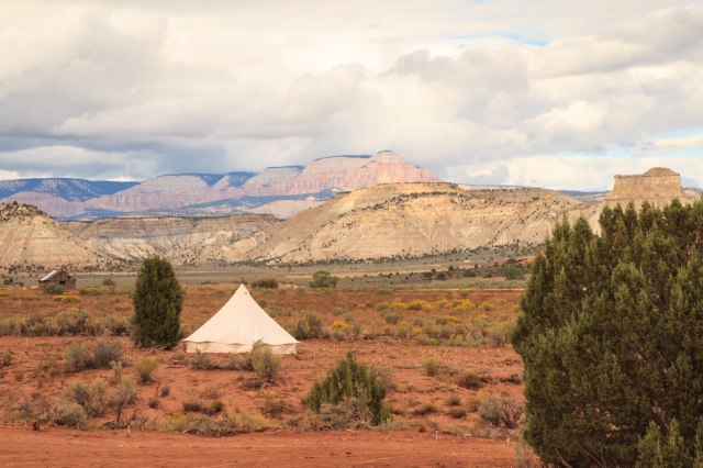
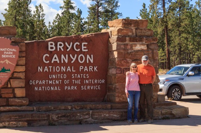
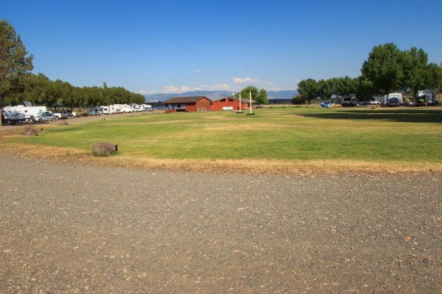
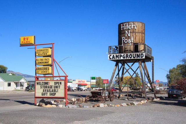
We enjoyed a short thirty-minute drive to our new base camp at Hitch-N-Post in Panguitch, Utah, on October 2, 2017.
Panguitch, Utah
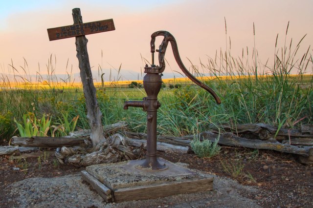
Panguitch is a western town settled by Mormons in the 1860s and 1870s where several historic buildings line the main street. Unfortunately, many of the shops had already closed for the season when we visited. Too bad, I really wanted to go into the fabric store.
Panguitch holds annual events that include the Quilt Walk Festival and Panguitch Valley Balloon Rally, which are both held in June. What’s a Quilt Walk? The festival commemorates the action of seven men who saved the first settlement from starvation. The story details the new settlers challenge during their first winter when snow blocked supply routes, crops froze, and the people grew hungry. Seven men volunteered to journey over the mountain to secure flour. They used quilts to cover the surface of deep snow since wagons could not navigate the trail. By placing the quilts on the snow they could safely walk across. When they reached the end of one quilt they placed another one down before retrieving the first. Something to think about if I’m ever stuck in the snow somewhere.
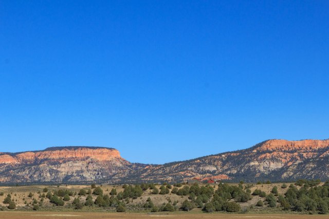
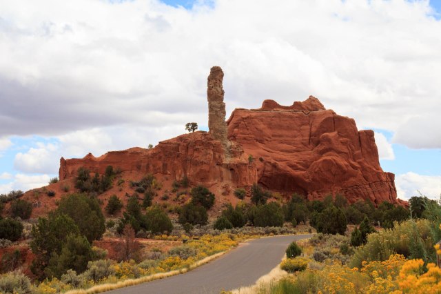
Panguitch served as a good home base for visiting Panguitch Lake, Cedar Breaks National Monument, Red Canyon State Park, and the Parowan Gap Rock Art and Dinosaur Tracks.
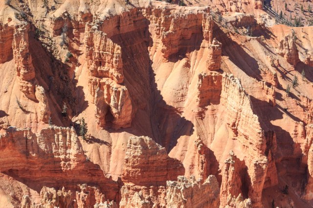
Cedar Breaks National Monument
We started our day with a hearty breakfast of plate-sized buttermilk pancakes so fluffy they measured almost a half inch thick. The Hitch-N-Post owner had raved about the wonderful buttermilk pancakes served at Kenny Rays. The two pancakes I ordered was way too much to eat. Had I known, I would have only ordered one.
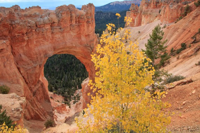
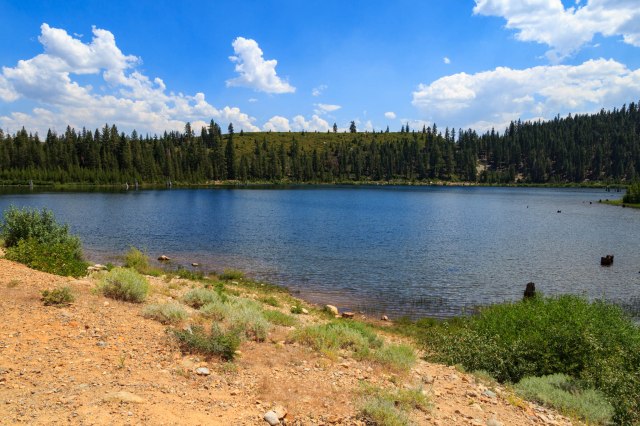
The drive to Cedar Breaks National Monument took us to Panguitch Lake where we stopped for a little leaf peeping.
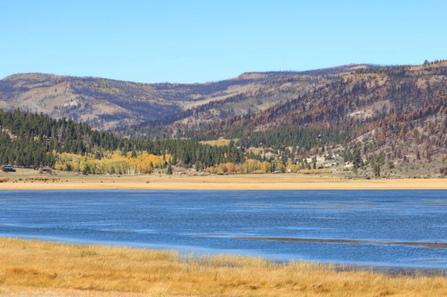
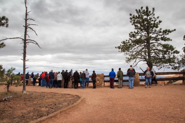
With all that sunshine, why did my face feel like it was on fire? It must have been the icy wind at 10,000 feet. It was a good thing we put our heavy coats in the truck when we left in the morning, but goosebumps still peppered my legs. They warmed up some when I stood next to the huge fireplace blazing away in the visitor center, at least for the few minutes we were indoors.
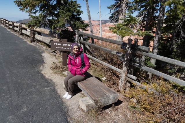
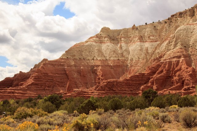
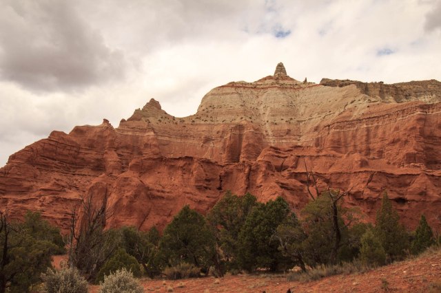
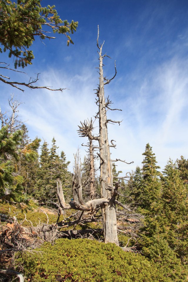
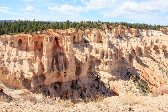
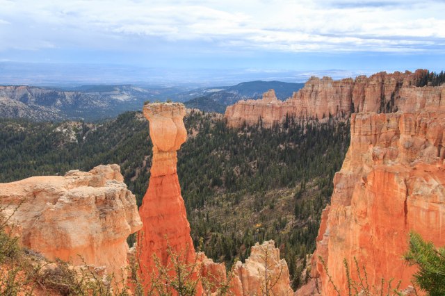
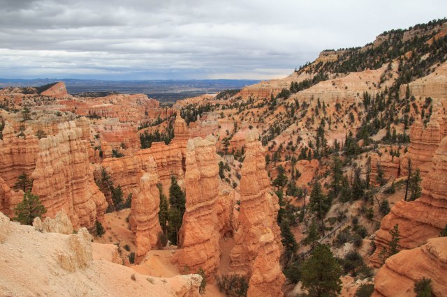
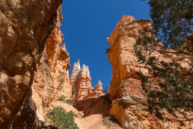
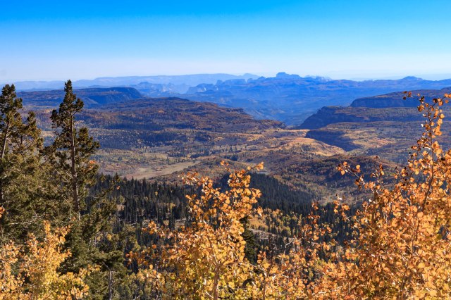
The geological story of Cedar Breaks is similar to Bryce. Cedar Breaks sits between the Colorado Plateau and the Basin and Range province of western Utah. Earthquakes along the Hurricane Fault lowered the west side where Cedar City is located at 5,800 feet and raised Cedar Breaks on the east side to an elevation of 10,350. The amphitheater spans three miles and is 2,000 feet deep.
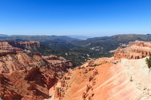
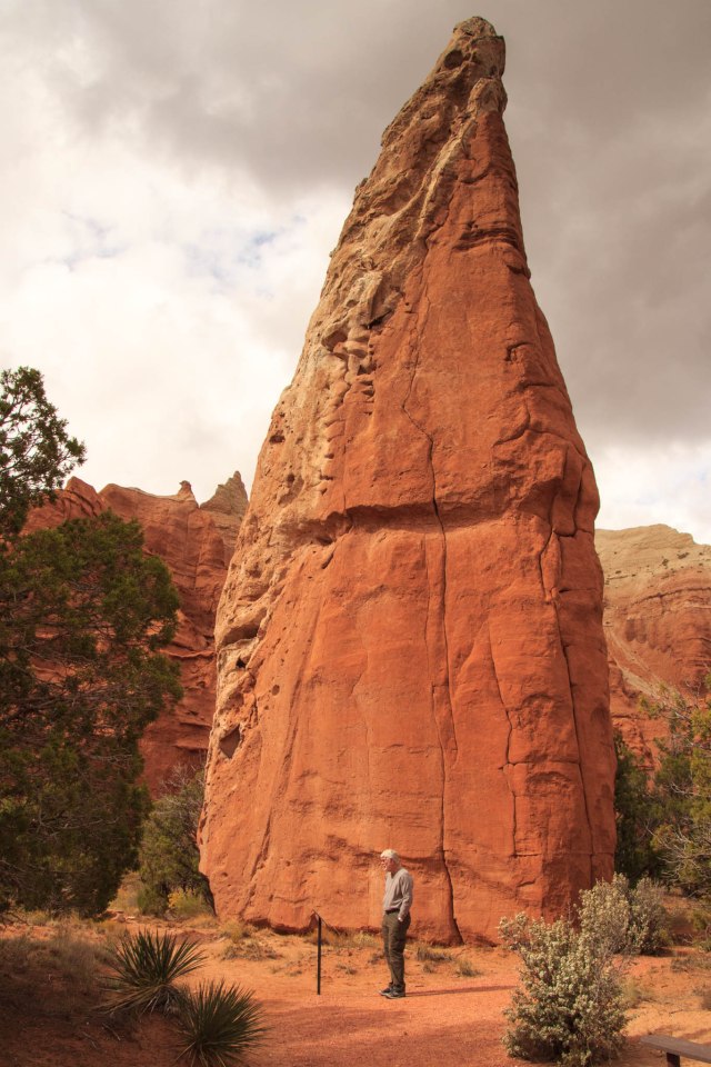
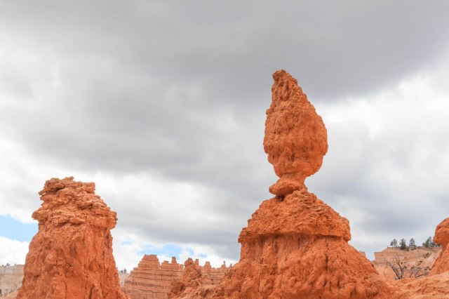
Freeze-thaw action sculpts the formations by splitting and breaking away the rock.
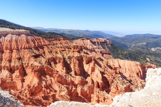
Then erosion from wind, snowmelt, and rain (mixed with a bit of acid) work their magic on the rock to continue shaping it into the magnificent creations we see today.
Knowing these forces that began millions of years ago are still at work make me realize that what I see today may look a little different in one, five, or ten years from now.
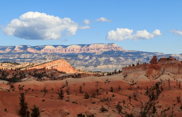
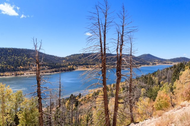
Navajo Lake, Lava Flows, and Brian Head
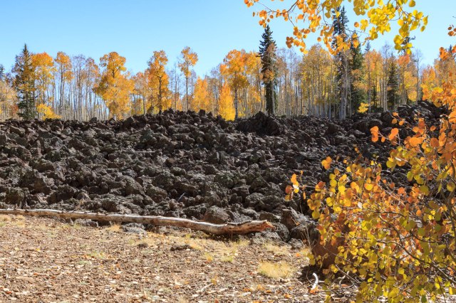
Along the drive we ran across Navajo Lake. The lake, formed by a prehistoric lava flow dam, offers camping, fishing, boating, and swimming. I thought it interesting that water travels from the bottom of the lake through a network of lava tubes until the water reappears as creeks and streams. This is very similar to the relationship of Craters of the Moon and the Snake River in Idaho.
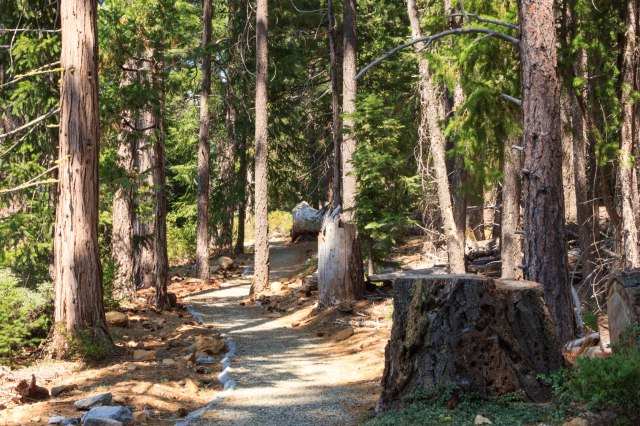
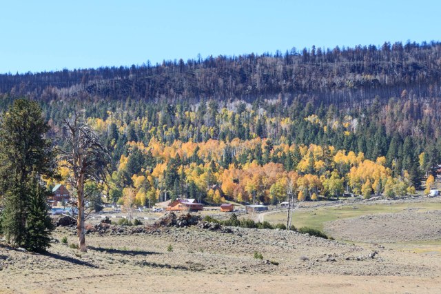
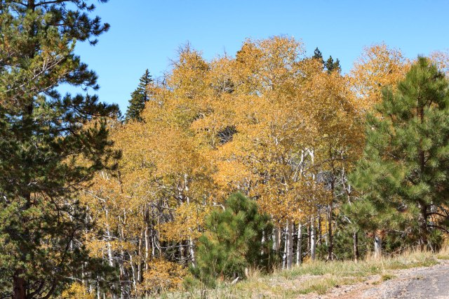
Aspen groves populate around the lava fields east of Cedar Breaks.
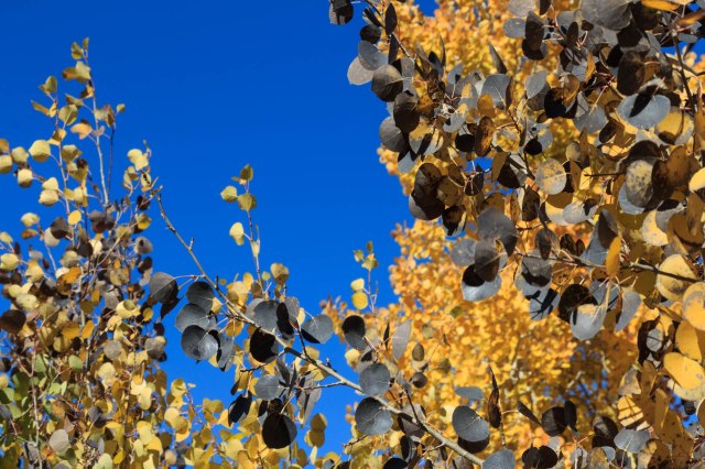
I don’t think I had ever come across black aspen leaves before. It’s not like the leaves are spotted by a fungus, it looks like the whole leaf has turned black. Is this a natural occurrence or is this a severe infestation of the tree?
We also took a drive up to Brian Head. On the other side of the mountain are several ski resorts, a sign that this is a winter playground as well as a place to visit during the rest of the year. I hope they receive plenty of snow this coming winter.
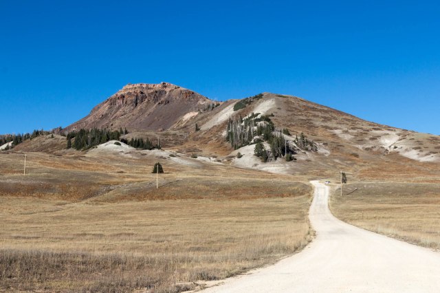
Looking up at Brian Head, I was reminded that I always wanted to try cross-country skiing. I’m just not sure about the cold weather or how I might handle such a physically demanding sport at an elevation of 9,800 feet.
Join us next week when we take a hike through Red Canyon State Park and gaze at the Parowan Gap Rock Art and Dinosaur Tracks.
Safe Travels