Spending Time in Flagstaff, Arizona – Part One

U.S. Route 89 heading south of The Gap Trading Post in Cameron, Arizona, was like driving over asphalt moguls. With the fifth wheel chugging behind the truck, we rocked side to side, up and down, and forward and backward as we rolled over the recently paved road. Motion sickness set in for the duration. I can’t imagine why Arizona DOT would intentionally pave over bumps and hills.

The AAA tour book listed a few places to explore in Flagstaff, so as we rolled into town we scanned the signs for places to park the rig. J and H looked promising with its pull-through sites and thick gravel roads. We checked in for three nights on October 12, 2017. We would have gone for four or maybe even five nights, but the park closed on the 15th.

Although they are an RV park with a number of restrictions—no kids, no smoking, no campfires, no motorcycles, no rig washing—we would stay there again for the quiet and the mature trees. We don’t have kids or motorcycles, don’t smoke, can do without campfires, and can wait to wash the rig in another location.

Historic Downtown Flagstaff and Railroad District

Thomas F. McMillan established the first permanent settlement in 1876 when he built a cabin at the base of Mars Hill before the city’s establishment in 1882. By 1886, the surrounding area had grown into the largest city on the railroad line between Albuquerque and the West Coast of the United States. In a 1900s journal entry, Sharlot Hall described the town as a “third-rate mining camp.” A description, I believe, accurate for a lot of towns in the west during that time.


IMG_4717
Coconino County Superior Courthouse


Timothy and Michael Riordan moved to the Arizona Territory in 1880 and formed the Arizona Lumber and Timber Company shortly after. They later married women from Cincinnati who were sisters and built a home in 1904 (see Riordan Mansion State Park below). The brothers were instrumental in bringing electricity to the city, building a dam to create a lake and water source, and medical care for not only their employees but visitors and members of the community. They also founded a normal school, or teacher’s college, which eventually became Northern Arizona University (NAU).


IMG_4721
Historic Weatherford Hotel


The city prospered through the 1960s but experienced an exodus of businesses during the 1970s and 1980s when the companies either closed down or relocated to the new mall. In 1983, the railroad was added to the historic district and in the 1990s a downtown revitalization attracted new businesses and restaurants to set up shop. The historic district is now a vibrant business and commercial destination.


IMG_4715
Independent Book Store


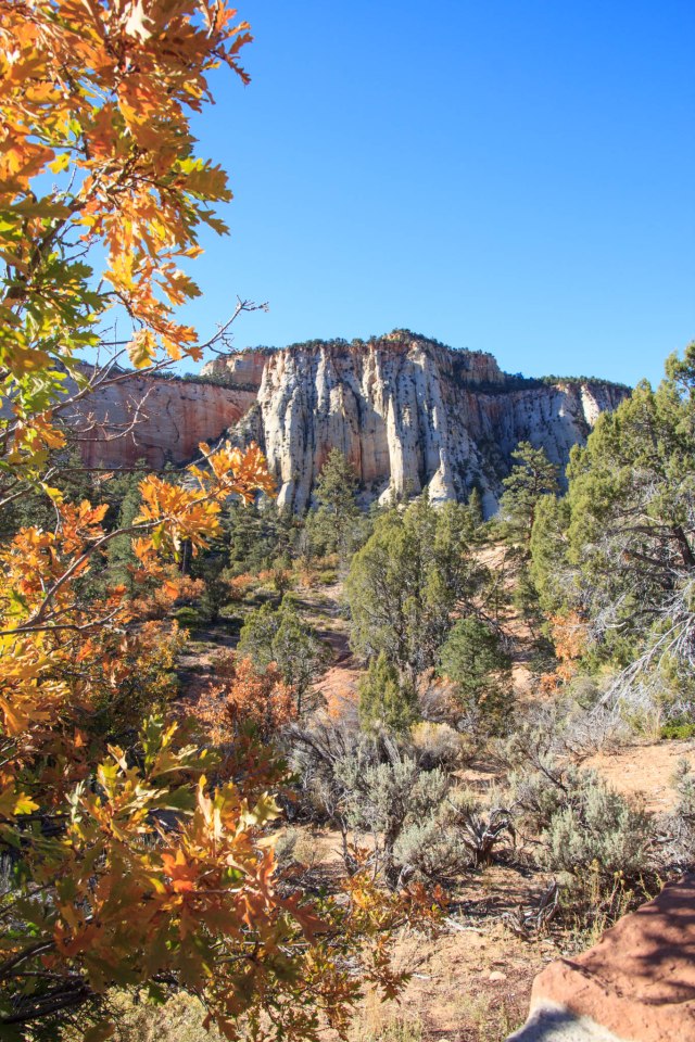
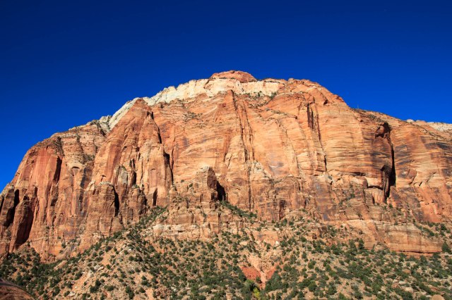
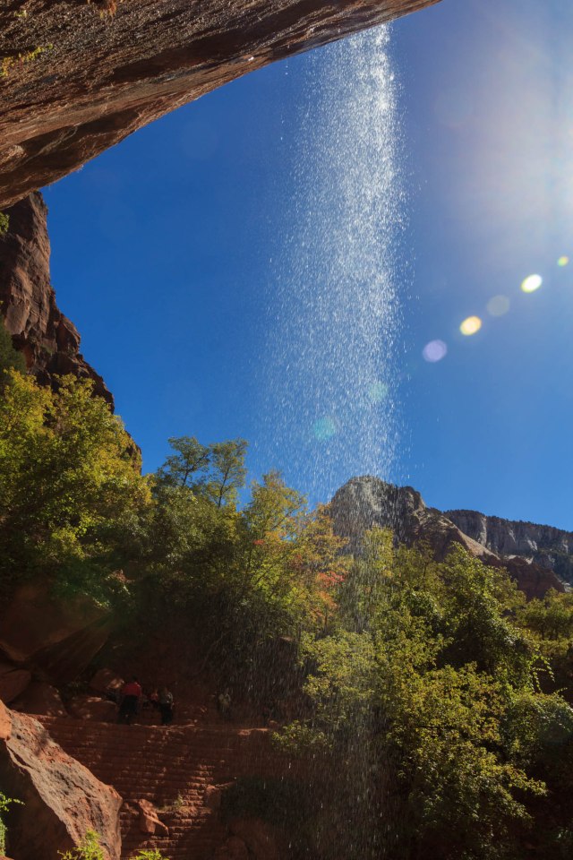
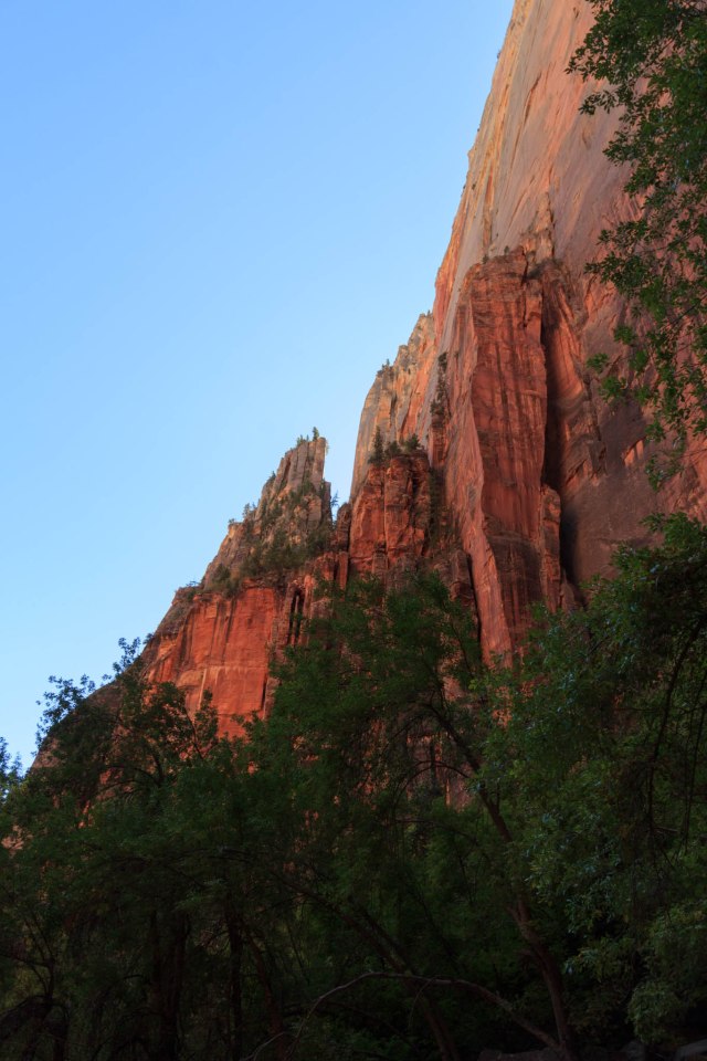
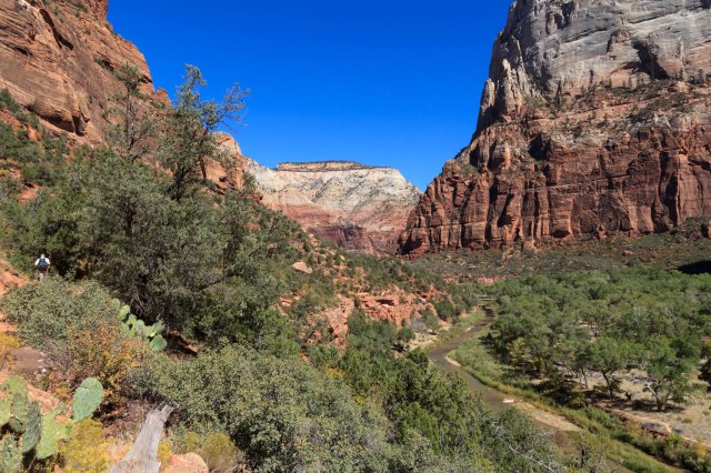
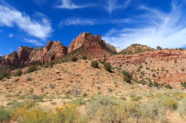
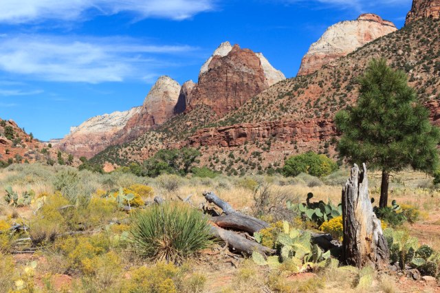
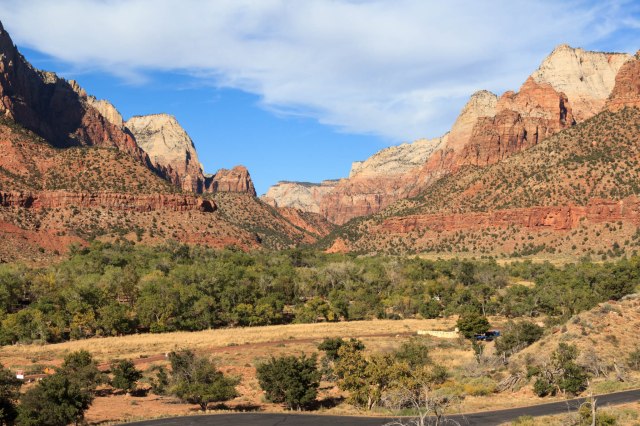
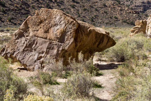
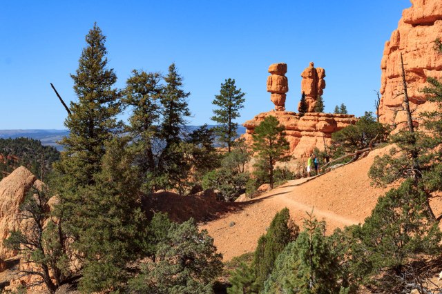
At an elevation of 7,000 feet, Flagstaff sits at the foot of Mount Elden, which is a large lava dome. The mountain offers plenty of trails to hike and explore. Unfortunately, we did not have time to pull on our hiking shoes and wander in the forest.

Restaurants

 With our limited time in Flagstaff, we opted to try out a couple of restaurants instead of spending our time cooking and cleaning dishes.

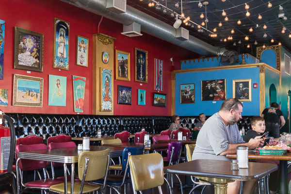
We loved the casual atmosphere, bright colors, and Day of the Dead décor of MartAnne’s Burrito Palace where we ordered a tostada plate with chips and salsa to eat while we sipped our margaritas. We’ll definitely try other menu items the next time we are in Flagstaff.


IMG_4712
MartAnne’s Burrito Palace


Beaver Street Brewery, located in the Halstead Lumberyard Building,  was the place to go for pizza and beer. The menu includes a full bar and beer on tap, along with an assortment of appetizers, fondues, hearty salads, sandwiches, and dinner selections. Diners are sure to find something to suit their palates.


IMG_4762
Flagstaff’s First Brewpub Opened in 1994


Riordan Mansion State Historic Park

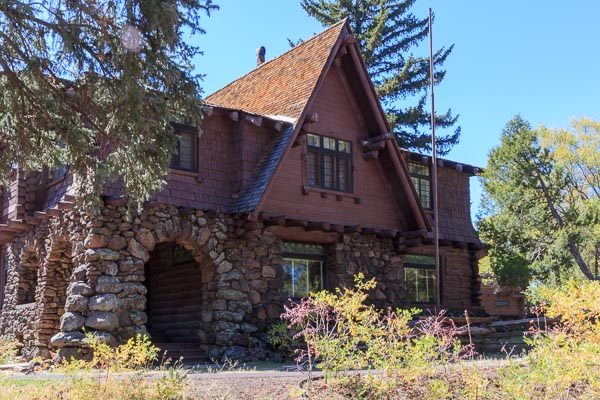
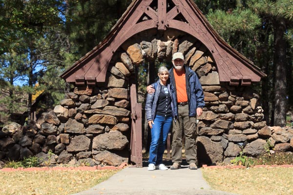
Located in the Historic Downtown near NAU, is the Riordan Mansion State Historic Park. In 1904, Michael and Timothy Riordan built the Arts and Crafts style duplex for their families. Built by Charles Whittlesey, the 13,000 square foot home is similar in style and architecture to the Grand Canyon’s El Tovar Hotel, which was also built by Whittlesey. Ponderosa pine slab siding and volcanic stone arches adorn the exterior of the home. The wood siding was milled at the brother’s Arizona Lumber and Timber  Company.


IMG_4741
Riordan Mansion Rear 


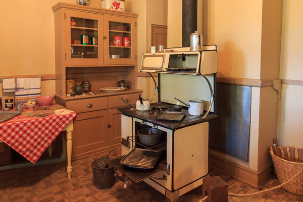
Timothy’s family occupied the east wing (on the right), and Michael’s family occupied the west wing (on the left). They shared the common area in between. Docents conduct 60-minute interpretive tours daily (except Christmas day) of the east wing, which is furnished with Edison, Stickley, Ellis, and Steinway family heirlooms.

No photos are allowed in the east wing where the tours are, so I only managed shots of the exterior and the west wing, which primarily housed information on the construction of the house and of the families and included a few roped off areas on the first floor.


IMG_4727
Kitchen in West Wing
IMG_4733
Fireplace Made From Local Resources 
IMG_4735
Stain Glass Window
IMG_4746
Entrance to East Wing
IMG_4750
Entry Gate to Patio and Middle Portion of the House
IMG_4748
Kachina Tile Embedded in Archway. For good luck?


Next up we continue our Flagstaff visit, take a tour of the Lowell Observatory, and learn about the cliff dwellers who made Walnut Canyon there home.

Safe Travels

Kanab, Utah

Kanab, Utah

With no reservations or idea where we would stop, we left Zion on October 9, 2017, taking Highway 89 south from Mt. Carmel Junction. Kanab looked like a nice little city as we drove into town, and it would be a good jumping off point for North Rim Grand Canyon. All we had to do was find a place to set up the fifth wheel.

The first park we tried was booked solid for the month. Back toward town, we passed Hitch-N-Post. Although a sign on the street said they had no RV sites, we stopped and asked anyway. Good luck was shining on us that day. A cancellation had come through a few minutes before.

 Coral Pink Sand Dunes

After situating the rig beside one of the cabins, a short drive to Coral Pink Sand Dunes State Park was in order. The Dunes became a state park in 1963 providing off-road enthusiasts a place to play. On the look out for the dunes, we drove through areas where juniper, pinyon pine, and Gambel oak were rooted in a soil of beige to pink sand. At an elevation of nearly 6,000 feet, even ponderosa pines are found within the park boundaries.

IMG_4650
Pink Coral Dunes

The dunes, formed by wind carrying away eroded Navajo sandstone, are believed to be 10,000 to 15,000 years old. The grains of sand have to be the right size to travel the distance from the mountains or plateaus, not too large and not too small.

We walked out onto the observation boardwalk near the visitor center and watched hikers trekking across the ridge and ATVs roaming around with their whip flags flying. It looked like fun, if not a bit dangerous. I would sure hate to see an ATV crest a dune ridge and encounter one of the hikers.

IMG_4651
Coral Pink Sand Dunes
IMG_4655
Footsteps Across Ripples

The park includes a campground with 22 spaces, each with a loop drive to provide plenty of parking for RVs and trailers loaded with off-highway vehicles (OHVs). With the convenience of trails leading from the campsites to the dunes and restrooms and showers for the campers to rinse sand off after a day of riding, this campground has it all for avid off-road adventurers.

North Rim – Grand Canyon

The next day we drove 80 miles south of Kanab to North Rim Grand Canyon National Park. We were lucky to have arrived when we did because the lodge and campground were set to close for the winter in four days.

We drove through beautiful forests and meadows noting the aspen had already lost their leaves.

IMG_4704
One of the Meadows on the Drive to North Rim

Although North Rim is advertised as the quieter side of the canyon, a campground-full sign sat outside the check-in kiosk and the visitor center and the lodge was teeming with tourists.

We walked around the visitor center and lodge gawking at the view through the panes of glass. On the patio, visitors gathered around a ranger who gave a talk about the Grand Canyon geology.

IMG_4697
Grand Canyon Lodge Patio
IMG_4693
Dining Room at the Lodge
IMG_4695
Lobby Area

Then we ventured out along Bright Angel Point Trail for some spectacular views.

IMG_4671
Are you coming?

I squinted to see if I could make out any of the facilities along the south rim. Even with my 300 mm zoom lens, I could not see anything. I guess the 11.5-mile distance from rim to rim was too far to see such details.

The skies were clear enough, however, to see the San Francisco Peaks popping their heads up across the canyon 64 miles away.

IMG_4665
Looking South Toward San Francisco Peaks

Sitting on the ledge with feet dangling seemed to be a favorite pastime for some visitors. I guess they wanted some alone time.

IMG_4688
Couple on a Ledge
IMG_4683
Canyon Foothills
IMG_4684
Southwest View
IMG_4679
View Toward the East from Bright Angel Point

It seemed as though I could see the depth of the canyon better from the north vantage point. The views from the South Rim are also spectacular, but I think I like the views from the North rim better. They seemed more dramatic somehow. Perhaps the angle of the light created a sense of depth that I never experienced from the perspective of the South Rim.

The North Rim is a place I would like to return to someday to spend more time, assuming we could manage to obtain a reservation.  I’d like to hike down into the canyon on the North Kaibab Trail.

On our way back to Kanab, the Vermillion Cliffs came into view. Another place we will need to return to. There are several photos on the internet of swirling rock formations at the monument I’d love to see in person.

IMG_4708
Vermillion Cliffs

Join us next week as we hang out in Flagstaff, Arizona, for a few days.

Safe Travels

Zion National Park

Day 13 of our fall tour, October 6, 2017, time to pack up, hook up, and move on down the road. Around lunchtime, we pulled into Hi-Road Campground, formerly Zion RV Campground, in Mt. Carmel, Utah, for a three-night stay. Trees dressed in yellow, gold, and orange, signaled fall’s arrival on the east side of Zion National Park, Utah’s First National Park.

IMG_4536
View of Canyon from Campsite

Although Zion’s visitors’ center was only twenty miles from our site, it took at least an hour to make it to the canyon bottom by way of a twisty-turny road with slow speed limits, hairpin curves, and a delay to enter one of the tunnels.

IMG_4533
Zion-Mt. Carmel Highway

The scenery along the way was the silver lining, however, consisting of sandstone slickrock, Checkerboard Mesa, and cliffs that towered 2,000 feet from the valley floor.

IMG_4524
Sandstone Slick Rock
IMG_4534
Checkerboard Mesa
IMG_4507
Red Cliffs of Zion

We stopped in at the visitors’ center, picked up pamphlets and information, and then drove out of the west entrance and into the town of Springdale, which looked nothing like we remembered from twenty years ago when we last visited.Construction of the Zion-Mt. Carmel Highway and one-mile tunnel, which took two years and ten months to complete, was dedicated and opened on July 3, 1930. The highway was the last link in the Grand Circle Tour of Zion, Bryce, and Grand Canyon National Parks.

The construction crew blasted gallery windows into the cliff face above Pine Creek Canyon to gain access to the interior of the mountain so the crew could carve out space to create the tunnel. The windows were also used to remove the rock debris and supplied ventilation and lighting. In 1937, the entire tunnel was lined with concrete.

IMG_4509
One of the Tunnel Gallery Windows

One-way traffic control is required for large vehicles traveling through the tunnel. The park charges $15.00 for a permit in addition to the park entrance fee for vehicles 7 feet 10 inches in width and/or 11 feet 4 inches in height, or larger.

We remembered driving our truck to all the sights along Zion Canyon Scenic Drive in the 1990s. Now a shuttle is the only way to get around unless you’re staying at Zion Lodge. During peak hours the shuttles fill up with standing room only, so it is wise to arrive at the visitors’ center before 9:00 am, even in the offseason. There is also parking in Springdale, but when we drove through, everything looked pretty parked up.

The next day, we rode the shuttle to Zion Lodge in search of a cup of coffee only to find a long line. “How about the dining room?” We arrived about a half hour before the buffet ended and noted only a few people seated at tables. “This shouldn’t take too long.” We decided to go ahead and order breakfast with our coffee since we planned on taking a hike. We waited for our food as we sipped our steaming cups of coffee. Then we waited, and waited, and waited some more. Oh well, we had a nice view of a park-like grassy area with large trees. When our eggs benedict arrived my eggs were overcooked and Jon’s were undercooked. The long wait and the mix of cook on our eggs must have been a sign that the concessionaire reduced the employee headcount after the peak season.

With our bellies full, we walked across the road to the trailheads for the Lower and Upper Emerald Pools. Most of the trails were easy going except for the large boulders we had to navigate and the slippery rocks near the Upper Pools.

IMG_4545
Bridge Over River
IMG_4547
Towering Cliffs
IMG_4551
Hanging Garden
IMG_4558
Falls at Hanging Garden
IMG_4560
Trail Narrowed in Spots
IMG_4561
Lower Pools
IMG_4570
Upper Pools
IMG_4573
Typical View from Lower and Upper Pools

We connected with the Kayenta Trail, which took us along the river toward the Grotto where picnic tables huddled under large trees and restrooms were a welcome sight.

IMG_4581
Kayenta Trail Along Virgin River
IMG_4583
Virgin River

Then we continued on to the lodge where we picked up the shuttle for the ride to the Zion Human History Museum. We sat on the back patio eating our lunch of tuna sandwiches and apples and enjoyed the views while we waited to listen to the geological ranger talk.

IMG_4584
View from Museum Patio
IMG_4585
View from Museum Patio
IMG_4591
View from Museum Patio
IMG_4602
More Views

Zion is part of the Colorado Plateau and the second step of the Grand Staircase with geological layers at the top of Zion consisting of the layers we saw at the bottom of Bryce: Carmel Formation, Navajo Sandstone, Kayenta Formation, and Kaibab Formations. It was interesting to learn that rain flows through the porous Navajo sandstone until it reaches the Kaibab Formation of limestone and siltstone, which is not porous and blocks the water so that it seeps through the sides of the cliffs. This sounded similar to how water seeps through the basalt in Idaho to find its way to the Snake River.

On Sunday, we woke up early again and rode the shuttle to the Temple of Sinawava to take the Riverside Walk. It didn’t look anything like what I remembered from when we were there before. Perhaps this was because of flash floods that had occurred during that time.

IMG_4607
Trail to Temple of Sinawava

Ferns and other plant life clung to the red cliffs and trees grew near the river. We watched people prepare for the walk across the icy water. Some of them wore rented water tennis shoes and long pants that swished with each step. Other people only wore shorts, t-shirts, and normal walking shoes. I remembered years ago when we crossed the river in water socks on a sunny day with our children in tow. Bundled up in jackets, Jon and I weren’t about to venture into the rush of water this time.

IMG_4610
The Makings of a Future Arch
IMG_4613
Ferns Cling to Rock Cliffs
IMG_4616
The Crossing

Our next stop was Weeping Rock. This was a short steep hike with lots of trees, shrubs, ferns and a few remaining wildflowers. Water oozed from the overhang and gently dripped like rain on us.

IMG_4630
Along Weeping Rock Trail
IMG_4631
Late Blooming Wildflower
IMG_4637
View from Weeping Rock
IMG_4641
Plants Cling to Sandstone Cliff

These climbers came into view while we waited for the shuttle at Weeping Rock.

IMG_4644
Climbers on the Rock Cliffs

We thought we had been transported to Disneyland when we returned to the visitors’ center. Crammed under a shade structure, the line for the shuttle snaked back and forth through ropes and continued around the buildings toward the parking lot.

IMG_4646
Wait. What. Is this Disneyland?
IMG_4647
Coming and Going

We were glad we were on our way out of the park rather than arriving.

If we make it back to Zion, we will plan ahead and find a spot for our trailer on the west side of the park to avoid driving the hour on the Zion-Mt. Carmel Highway each day. The prospect of catching the shuttle in Springdale would also be a benefit.

The next day we headed south with no reservations, taking our chances that somewhere an RV site with our name on it would appear. Stay tuned to see where we hung our hats.

Discover Dinosaur Tracks and Parowan Gap Petroglyphs

The promise of dinosaur tracks, petroglyphs, lower elevation and, best of all, warmer weather within an hour from Panguitch was a welcome surprise after the freezing temperatures of Cedar Breaks.

IMG_4389

Dinosaur Tracks

We headed east from Interstate 15 on Gap Road through ranches and farms, and then passed Little Salt Lake until we came to Highway 130 where we turned right. A few miles later, the road veered left toward the Red Hills and we came to a parking lot with interpretive panels and interesting rock formations. Metal markers like the one in the photo below marked the spots where the footprints could be found.

IMG_4390

Hadrosaurs, or duck-billed dinosaurs, left the tracks some 65 to 75 million years ago when they stepped in mud. Pebbles and sand filled the footprints left by the dinos and later turned into rock. Erosion over millions of years revealed the tracks for us to see today.

IMG_4394
Dinosaur Print
IMG_4405
Dinosaur Print

This area is strewn with a number of different types of rocks such as river rock, volcanic ash, and large boulders, which looked like someone had rolled a bunch of smaller rocks and cement together like a giant snowball.

IMG_4396
A River Ran Through Here
IMG_4401
Wind Swept Boulder
IMG_4400
Archway
IMG_4403
Bear Boulder
IMG_4399
Rock Encrusted Snowball Boulder
IMG_4397
Nooks and Crannies
IMG_4392
Robot Dinosaur?

Parowan Gap offers climbers up to 26 different climbing routes to follow. Looking around at all the fallen rock, I sure wouldn’t want to hang from a rope and trust that the cliff would not give way. But rock climbing is something I’ve never done, so who am I to say what’s safe or not?

Parowan Gap Petroglyphs

Continuing on Highway 130 a short distance we found a nicer parking area with pavement, shade structures, picnic tables, and pit toilets. The cliffs at Parowan Gap display a great number of petroglyphs that tell stories of the early people who inhabited or traveled through the area. If we only had a translator app on our phones to decipher the figures.

IMG_4410
Parowan Gap Petroglyphs

Included on the National Register of Historic Places in 1969, it is a wonder that the figures created a thousand years ago or more have survived destruction by people of more recent generations. I could have stood for hours gazing up at the etchings on the cliff walls trying to decipher their meaning.

IMG_4415
Parowan Gap Petroglyphs

Did the Fremont and Southern Paiute cultures leave them as works of art, religious significance, or tales of bravery and danger?

IMG_4414
Parowan Gap Petroglyphs

Some people may even suggest the figures depict alien beings that visited earth before modern times.

IMG_4413
Parowan Gap Petroglyphs

Do they represent family history, hunting and gathering trips, sources of water, travel routes?

IMG_4412
Parowan Gap Petroglyphs and Newer Initials

People in the 1800s and 1900s also recorded their passage through the gap. I wonder who H.S.H. or Hyatt and Leo Rosko were, where they came from, and where they were going in 1882 and 1947. Did  D. C. fancy himself a pirate or maybe the design refers to an early motorcycle gang?

IMG_4431
H.S.H 1882 and D. C. 1938, or is it 1939?
IMG_4432
Leo Rosko Markings

Red Canyon Visitor Center USDA Forest Service

Our last day in the area was a short jaunt to the red cliffs and hoodoos at the Red Canyon Visitor Center off Highway 12, the route to Bryce Canyon National Park.


IMG_4503
Red Canyon Visitor Center


With picnic tables, plenty of parking, and several miles of hikes, the visitor center was a great place to spend an afternoon getting up close and personal with the hoodoos and totems as well as the Ponderosa, bristlecone, and limber pines.


IMG_4451
Cabin Once Used by Rangers


We managed to get a good work out in and gaze out at some awesome views by connecting the Pink Ledges (an interpretive trail), Hoodoo, and Birdseye trails with a portion of the 8.6-mile non-motorized Red Canyon Bicycle path, which parallels Route 12 through the canyon.


IMG_4452
Grab a Pamphlet at the Visitor’s Center
IMG_4455
Do You See a Ninja Turtle?
IMG_4460
Fairy Castles
IMG_4464
Totem Hoodoos
IMG_4466
Butterfly on Mitten Thumb or Heart?


IMG_4467
Biscuit with a Bumper Boat on Top?

At about our halfway mark, we took advantage of a bench to take in the spectacular views of the valley below.


IMG_4479
Red Canyon Hike Resting Bench
IMG_4480
View from Resting Bench
IMG_4488
View of Red Cliffs and Pine Trees
IMG_4493
How’d that Camel Get Down There?
IMG_4495
Highway 12 and Bike Path Through Red Canyon


IMG_4498
Hoodoos Reaching for the Sky

Just as the traffic below had receded into white noise, this drone succeeded in drowning out the chattering birds, scurrying squirrels, and windblown leaves and pine needles. It flew around for about ten minutes and left, a little too long for my comfort level. Too bad the pilot could not have taken the time to enjoy the wonders of Red Canyon in person. To experience a place in person is so much better than watching it fly by on an LCD screen.


IMG_4486
Annoying Drone

The Red Canyon hills were just as magnificent from across the road as they were when we walked along the trail.


IMG_4501
Red Canyon Hills


Although we could have stayed for another week, our time in Bryce Canyon and Panguitch had come to a close and Zion or bust became our mantra on October 6, 2017. Stay tuned for more adventure.

Safe Travels