June 6, 2022, had arrived. After two years and two months of waiting and wondering, we were on our way. After two years and two months of pandemic isolations, masks, vaccinations, tests, and restrictions, we boarded a plane. Destination: Kauai with a quick stop in Honolulu.
Honolulu Airport Garden
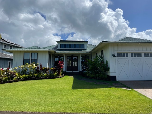
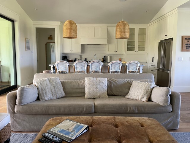
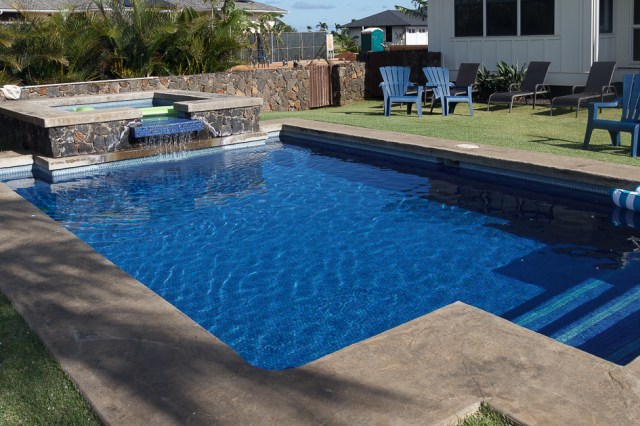
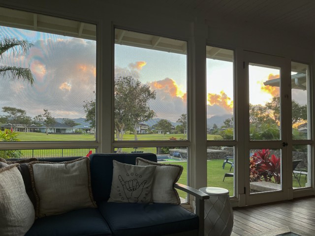
The house was perfect for our family of eight. It included a fully equipped kitchen overlooking the great room. The sliding window wall opened into a screened-in lanai containing outdoor seating and a dining table. Green grass in the backyard and a stone pathway led to a sparkling pool and spa.
Our Kauai Home for 11 Nights
Lanai and Backyard
The three adult couples each had their own bedroom and bath. I was concerned our teen granddaughter and grandson might bicker about sharing a room with twin beds and a bath. They showed me wrong and got along just fine. And the laundry facilities and outdoor shower came in handy.
Kitchen and Living Area
Friendly Geckos Kept us Entertained
Refreshing Pool and Spa Available
Morning Sunrise
But we didn’t fly seven hours across the Pacific Ocean cooped up in an airplane to sit around a house all day. We were in Kauai to explore. Time to go to the beach.
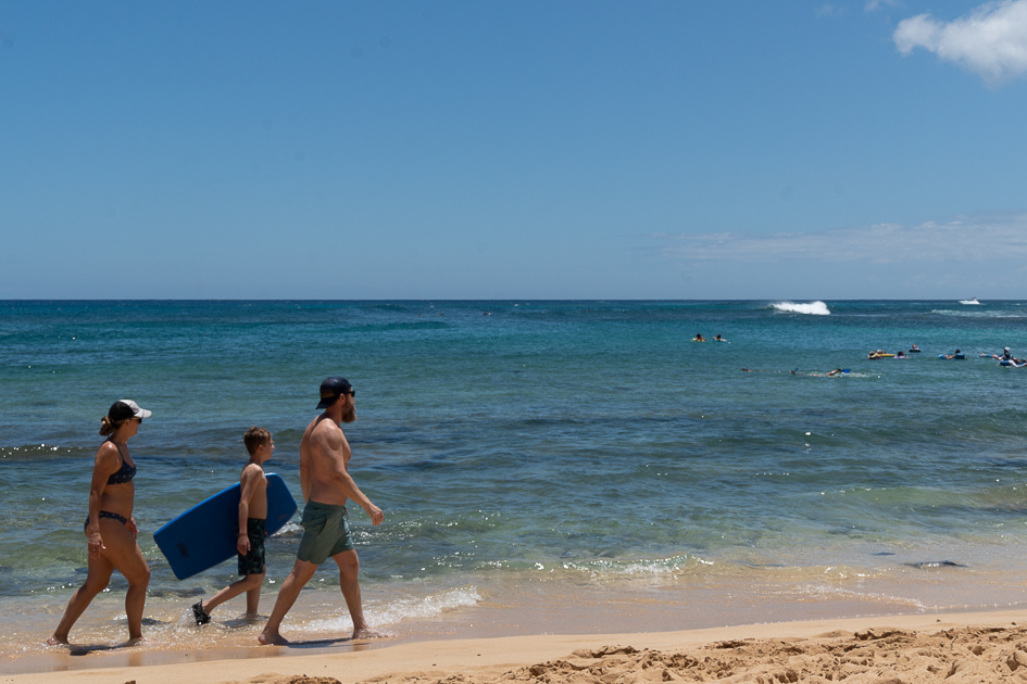
Bailey, Jackson, and Kevin walk to a better boogie board spot.
Poipu Beach was a short drive from the house, so we loaded up the cars and set out. I dreamed of taking off my wrist brace and soaking my arm in salt water for a while. The splints and casts I had worn for eight weeks had rubbed sores around my wrist and the brace wasn’t helping much, either.
Although other people ventured into the water, when I heard the waves had knocked a few people over, I decided it wasn’t a good idea for me to dip my toes or arm in the water for fear I’d fall and cause more damage.
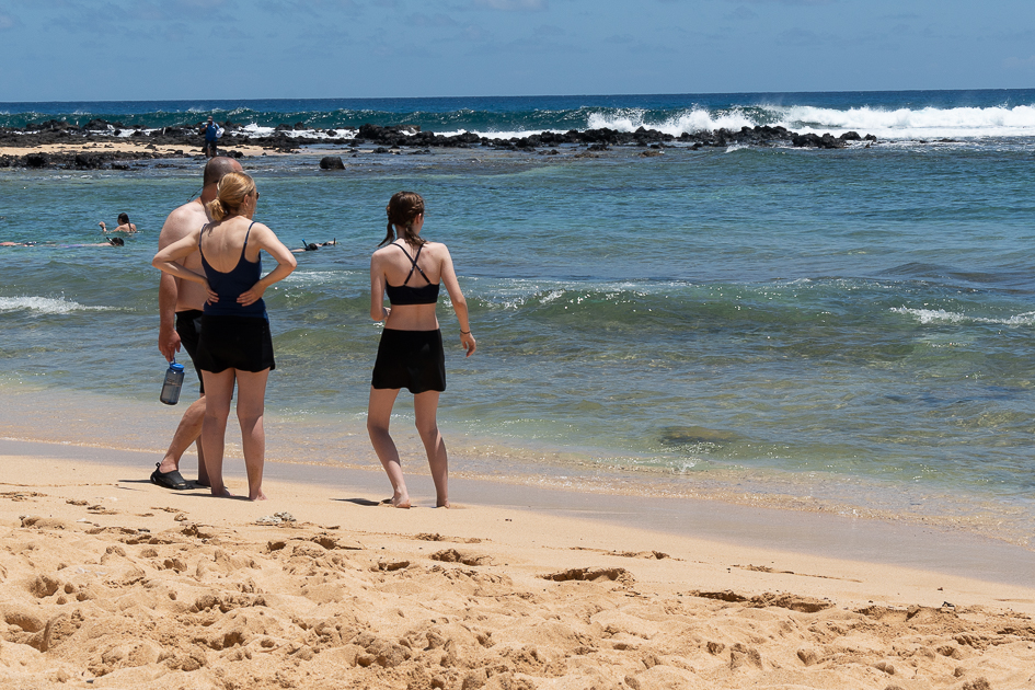
Chris, Laura, and Maya espy something interesting
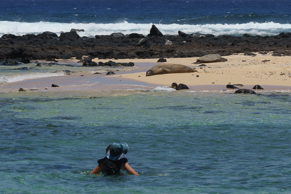
Watching the seal and sea turtle sunning on the island, taking a few photos, and a walk to the Marriot kept me busy. When we returned to the house, I shed my brace and let my arm be free in the pool. I don’t think chlorine has the healing powers of salt water, but I was grateful to escape the brace and let my hand and arm float atop the water for a while.
A lifeguard repeatedly told people to stay off the island to protect the Monk Seal and Green Sea Turtle basking in the sun.
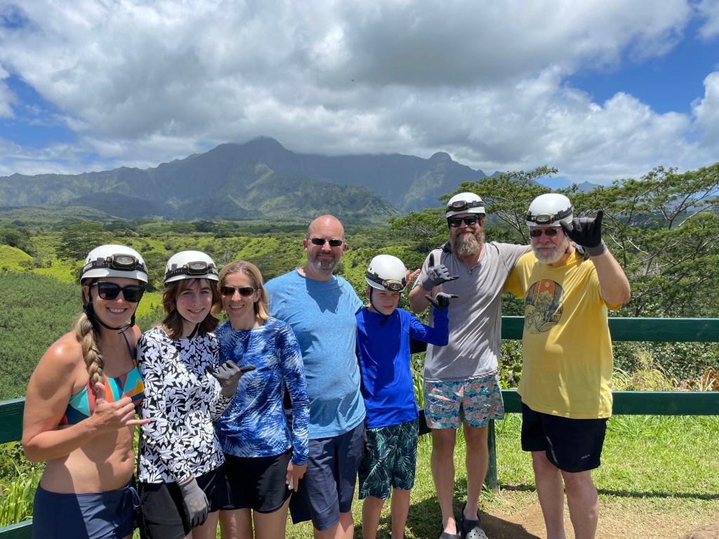
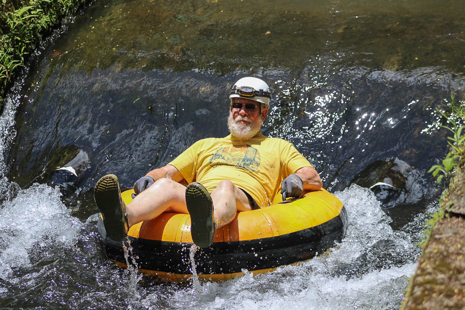
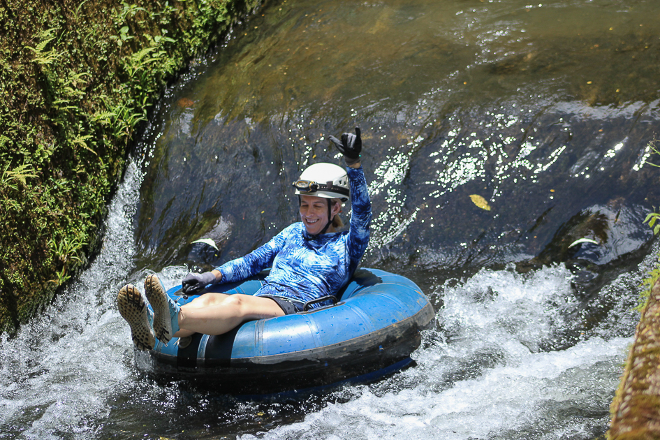
Sadly, I was stuck at the house nursing my wrist while everyone else had a grand time on the third day’s activity: Kauai Mountain Tubing Adventure.
The Tubing Crew prepping for their float. From left: Bailey, Maya, Laura, Chris, Jackson, Kevin, and Jon.
The Lihue Plantation lands are the setting for tubers to float through open canals and hand-dug tunnels and flumes, which were engineered and constructed around 1870.
Jon ToddChris SilveyLaura SilveyBailey BishopKevin ToddMaya Silvey
Headlamps are required for the dark tunnels, and gloves and water shoes protect hands and feet from the rough sides. The 3-hour adventure includes lunch and cold water. Book reservations early, especially for large groups.
Jackson SilveyBailey and Chris try out the Tubing mud mask
Tubing was the one thing I wanted to do while in Kauai. Since I missed out, I now have a good excuse to return to the island.
Our plan to visit more of the East Bay Regional Parks fizzled the day it began. On April 8, 2022, we selected the Black Diamond Mines Regional Preserve for our first visit. Since the green hills near us had already begun their fade to gold, we knew the wildflowers wouldn’t last much longer in the eastern part of Contra Costa County.
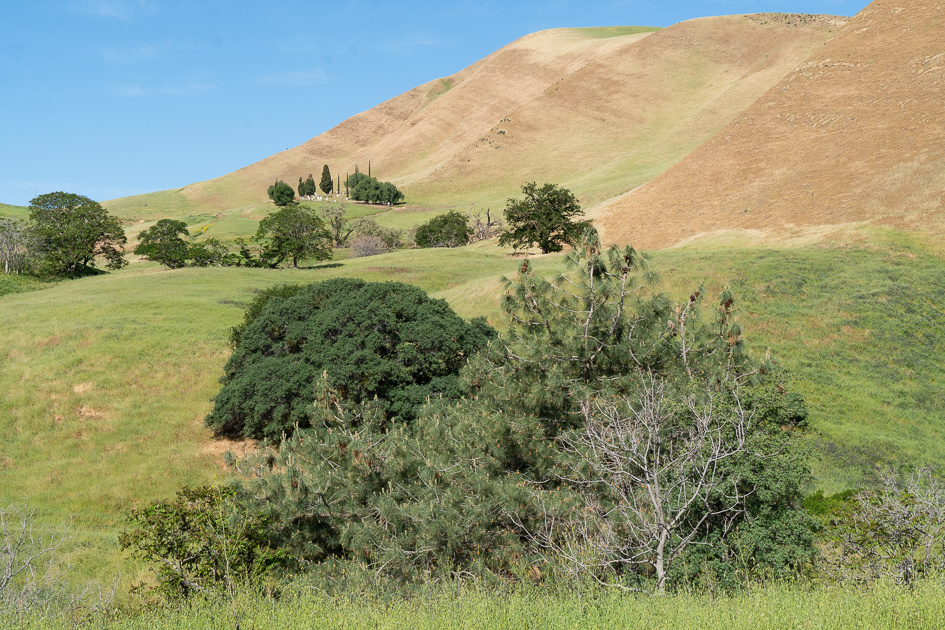
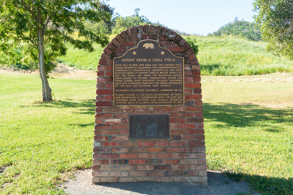
View of hills from Black Diamond Mines parking lot. The last clump of trees in the background surrounds the Rose Hill Cemetery.Plaque commemorates the Mount Diablo Coal Field where twelve major mines supported five communities during 1860 to 1906.
We started out on the Atlas Mine trail until we encountered a closed sign, then transitioned to the Chaparral Trail. A few days earlier, I had watched a video about the wildflowers on the Chaparral Trail and anticipated all the wildflowers I’d be able to capture with the camera.
Up two short inclines and a walk through an overgrown area, until we hit a clearing where I stopped to take photos. Then Jon realized he had dropped the map. I offered to navigate the inclines again to retrieve said map. Sandstone isn’t my favorite medium to hike on, so I was proud I made it down and back up the steep inclines, not just once, but twice without sliding.
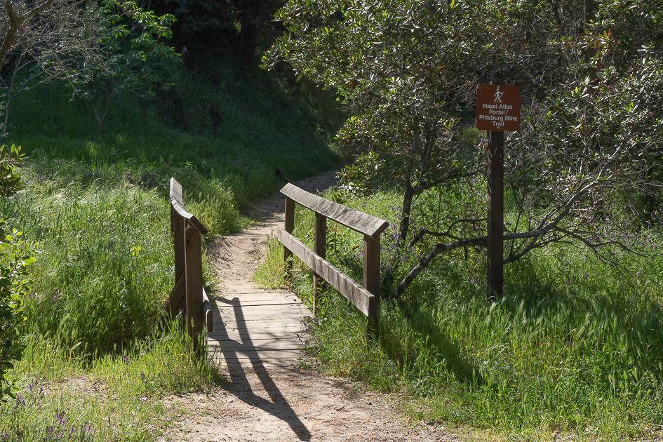
Hazel Atlas Portal trail ended at a closed sign.
With the map retrieved, we continued on a maintenance and fire road, also graded from sandstone. I found another patch of flowers to capture with the camera and squatted to get a closer view. With the picture taken and the camera turned off, I stood, then landed on my butt.
Pain gripped my right hand and wrist. My Lamaze breathing techniques kicked in. Between breaths, I prayed for a sprain and not a break. I didn’t want to look, I couldn’t look, I had to look.
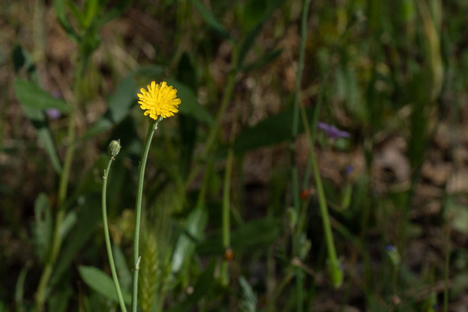
Rough Cat’s-ear
A quick look revealed my right hand misaligned with the arm. Not a sprain. Dizziness and shaking left me sitting in place for several minutes until I could recover and stand. My camera and strap served as a handy sling and kept the pain at bay.
Luckily, we hadn’t gone more than a 1/3 mile from our car. Off we drove to urgent care where X-rays confirmed the damage and need for surgery. Our plans to visit the East Bay Parks or traveling in our RV ended that day, a disappointment we are only recently getting over.
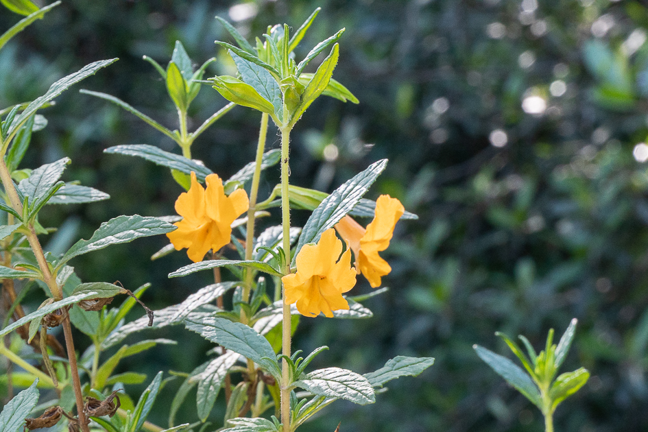
Yellow Trumpet
I’m sure it’s easy to guess that having my dominant arm immobilized limited what I can do. Jon has been the perfect caregiver helping me whenever I couldn’t do something on my own, carting me to doctor appointments and other outings, and taking over all the household chores.
On Thursday, July 7, three months later and two months after surgery, the doctor released me from any splint, cast, or brace. Now I’m looking at several months, if not a year, of slow incremental progress until my mobility returns to what it was before.
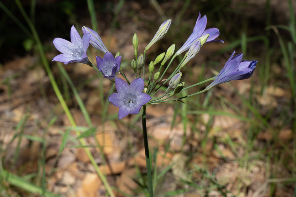
Ithuriel’s Spear
So, there you have it. A bad break sidelined the Traveling Todds and kept us from enjoying our passion for poking around this great nation of ours. We are so looking forward to packing up and hitting the road in a few weeks, after a few PT appointments and assuming no other obstacles crop up.
Thank goodness I could trade my cast for a brace, and we didn’t have to cancel our trip to Kauai with the family. It was a trip we had originally booked for April 2020 and rescheduled for early June 2022.
Stay tuned for a post or two, or more, about our Hawaii trip.
Safe Travels
Updated July 14, 2022: corrected date from June 7 to July 7
Anthony Chabot Family Campground was our destination on March 20, 2022, only 22 miles away, to explore another East Bay Regional Park District (EBRPD) property. We arrived early for our four-night stay, set up, and went for a walk.
The campground, set in a grove of eucalyptus trees, includes 12 full hookup sites, 53 drive-up sites that can accommodate tents and smaller RVs, and 10 walk-in sites. All the sites have plenty of space between them and are large enough for a party of eight. We found site 5 to be the best for us since it was one of only two pull-through sites in the RV section, and on the patio side, it looked out over the grassy grove of tall trees that sloped down into a valley.
Site 5 is a pull through with a view of the grove
Animals in the park include coyotes who howl late at night and early in the morning. Bevys of doves that hid in the grass and scared us when they took flight in mass, calling out warnings to their family and friends. Turkey gobbles echoed through the trees and hills. On one walk, we saw two toms, their tail feathers fanned out, arguing with each other, and doing breast bumps like football players do on the field. Not sure where their harem of hens was hiding. Usually, we see turkey flocks sticking together with one tom guarding his harem, jakes, and poults.
Wild turkeys everywhere in the Bay Area
Signs warn of mountain lions and rattlesnakes. They didn’t worry us because we stuck to the main roads and trails where more people were around making noise. I figured the mountain lions preferred the turkeys as easier prey. Of course, I sure wouldn’t want to tango with a tom in protective mode.
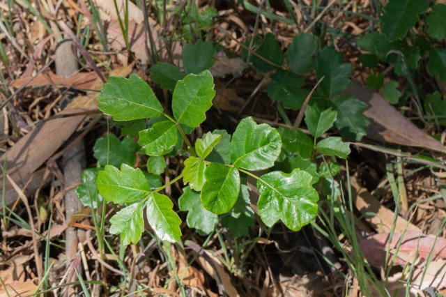
New poison oak shoots
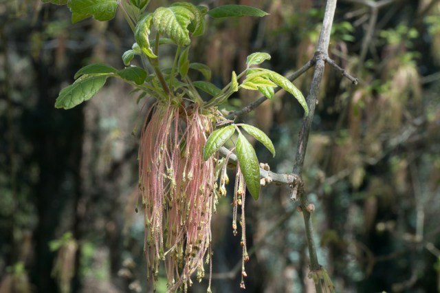
On the flora side, warnings include poison oak. New green shoots poked through the ground and fall-colored leaves still clung to older shrubs.
Anthony Chabot Regional Park
The 3,304-acre Anthony Chabot Regional Park opened in 1952 as Grass Valley Regional Park. As noted in the park’s brochure, the park was renamed in 1965 to honor Anthony Chabot, who built the first public water system in San Francisco and Oakland. Lake Chabot, designed by Anthony Chabot and built in 1874, was added to the Regional Park system in 1966.
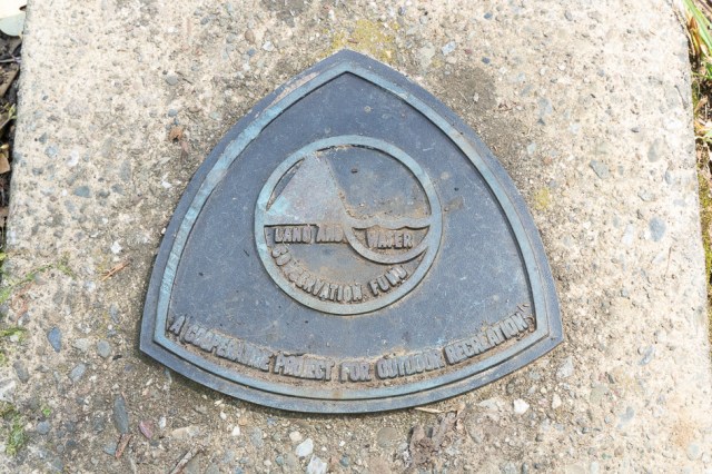
Shower and restroom building brought to you by the Land and Water Conservation Fund
The reservoir provides an emergency water source for east bay communities. Combined, the Anthony Chabot and Lake Chabot parks total 5,059 acres and sit within the ancestral home of Jalquin, an Ohlone- and Bay Miwok-speaking tribe.
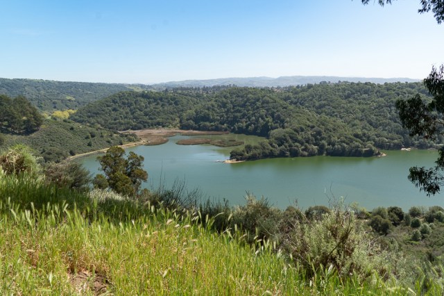
Overlooking the east shore of Lake Chabot
Overlooking the Redwood Canyon Public Golf Course
On Huck’s Trail
Spanish settlers and Franciscans came to the San Francisco Bay Area in the 1700s. In the 1800s gold-seeking miners, loggers, and trains arrived. Before all of those people came, some estimates place a group of 10,000 to 20,000 indigenous people in the Bay Area, possibly dating back to 6,000 years ago. Scattered near the water, across the valleys, in the hills, and inland, the small tribes of hunters and gatherers lived off the land and sea.
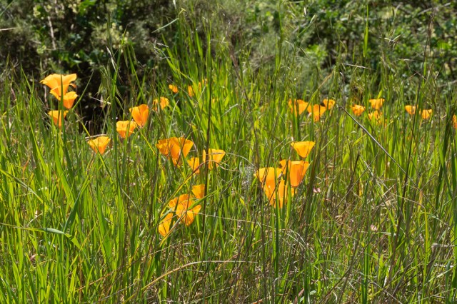
California poppies in bloom
Boat rentals can be had at the marina
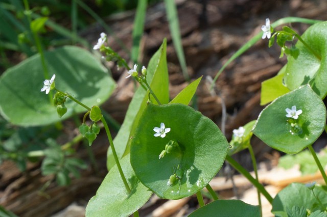
Edible miner’s lettuce
Bermuda buttercup
By the early 1900s, diseases had caused a severe drop in the population of Ohlone- and Miwok-speaking people. In addition, many of the tribes from the Contra Costa and Alameda counties lost out on Federal funding and land for their people.
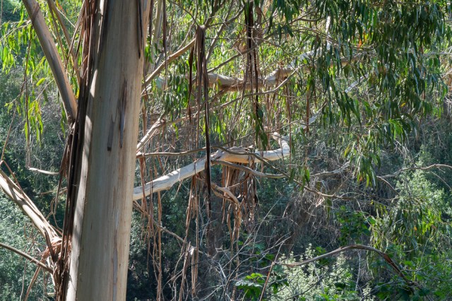
Shedding bark drapes across limbs
Unable to find the name. Any guesses?
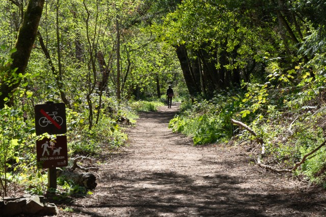
On the Towhee Trail
Braken fern perhaps?
Reinhardt Redwood Regional Park
The park district renamed the Redwood Regional Park to Reinhardt Redwood Regional Park in 2019 in honor of Dr. Aurelia Henry Reinhardt. Dr. Reinhardt was one of the first five directors on the District’s Board in 1934. Her contributions included the preservation of redwoods and public open space.
We parked near the Fishway Interpretive Site, which sounded interesting when I saw it on the map. A pair of information panels detail the life cycle of the native trout that spawn in the creek and live in the Upper San Leandro Reservoir.
California Registered Historical Landmark No. 970 plaque placed on April 29, 1987, marks the place where three fish taken from the creek in 1855 led to the naming of the rainbow trout species. The assigned scientific name is noted as salmo iridia rainbow trout.
Historic Landmark No. 970
After reading about the life cycle of the trout, we crossed a stone bridge to Bridle Trail and made a loop for about 2-1/2 miles. Parallel to the Bridle Trail is the Stream Trail that spans from one end of the park to the other. In addition, the Anza Historic Trail, Skyline National Trail, and Bay Area Ridge Trail pass through the 1,833-acre park, which opened in 1939.
A bit of water flows in the creek
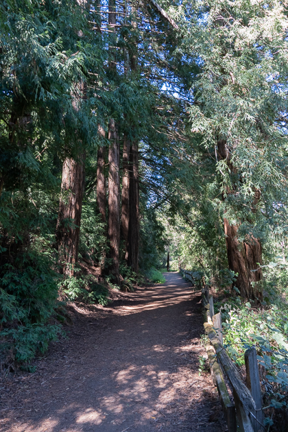
On the Bridle Trail
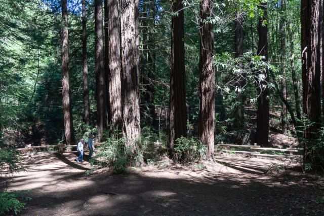
Our hike meandered through a redwood forest of third-generation growth. Giant redwoods once stood there, probably for one or two thousand years or more. By the mid-1860s, loggers had felled most of the magnificent trees, often taking the stumps as well. The redwood groves destroyed became the wood used to build homes and businesses in the San Francisco Bay Area.
Ferns and plenty of shade
Trillium perhaps?
The trees that populate the forest today grew in clusters from any stumps left behind. It’s easy to spot where the giants once stood, just look for the circle of trees surrounding a hole.
Find a circle of trees you’ll find where a giant once grew
Yes, it’s okay to look up
Site of old church where a cross-shaped foundation is still intact
Barbecue pit at Old Church
Work is in progress to restore Redwood Creek the rainbow trout to migrate. The park district placed fence barriers along the creek to protect the ponds and banks from damage caused by people and dogs.
Wrap Up
Research on this post left me burdened with sadness as I read about the loss of the magnificent Redwood trees and the indigenous people. The devastation caused by selfishness, greed, and power in the name of progress is a common story that spans all the states we have visited. No matter how many times I read similar stories, I’ll always weep.
On the bright side, we also learn of the people who stepped up to say, “No more,” and worked tirelessly to preserve and restore what had previously come to disastrous results. So, we give thanks to the East Bay Regional Park District, their employees, and volunteers as they carry on the mission set forth in the 1934 ballot measure that created the district. May they continue to save more land for recreational purposes so we may immerse ourselves in nature, away from the noise and chaos of the cities and suburbs.
Long-term travel is out of the question for us for the next two months as we await our Hawaii trip in early June. In the meantime, we hope to visit more parks within the East Bay Regional Park District and other locations while we keep our adventures close to home. We’ll publish a post now and then as we do.
Itching to take our fifth wheel out for a spin, but constrained by holidays, appointments, and other commitments, a multi-week trip was out of the question. So, on February 15, 2022, we packed up the trailer and drove a mere 24 miles to Dumbarton Quarry Campground on the Bay in Fremont, California.
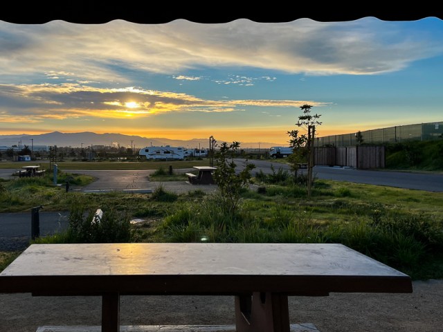
Dumbarton Quarry Campground on the Bay, Fremont, California
East Bay Regional Park District opened the Dumbarton Quarry Campground on the Bay in Fremont, California, in 2021. It is adjacent to Coyote Hills Regional Park and a short drive to Ardenwood Historic Farm, also East Bay Regional Park District properties.
Sunrise Eye
Sixty paved sites with full hookups and 3 unpaved sites with water/electric only await RVers to reserve their spots. Campsite lengths range from 35 to 65 feet. Restrooms, hot showers, Wi-Fi, and picnic tables are also available. Reservations are required through Reserve America.
Open spaces
A quick 9-mile trip across the Dumbarton Bridge brought us to The Fish Market in Palo Alto so we could satisfy a craving for seafood. We came for the Dungeness crab only to learn they had sold out. Our second choices did not disappoint, and we walked away with our seafood cravings satisfied.
The Fish Market Palo AltoInside The Fish Market
At night, the ribbit, ribbit, ribbit of frogs drowned out any residual freeway noise, and the occasional high-pitched barks and yips signaled coyotes were on the prowl.
Ardenwood Historic Farm
Ardenwood Historic Farm kept us busy for a few hours the next day. As a part of the East Bay Regional Park District since 1985, Ardenwood preserves not only the farmland but George Patterson’s House.
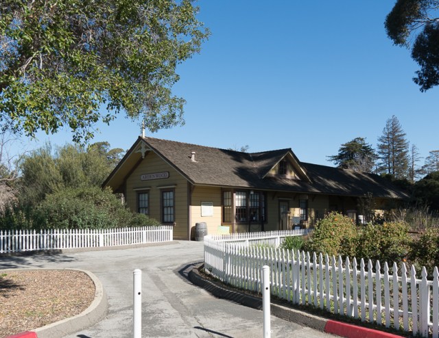
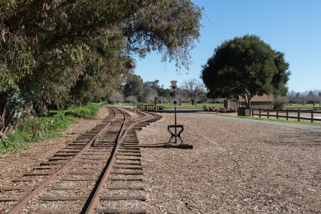
Ardenwood Historic Farm Visitor Center and Railroad Station
The old pool site can be reserved for weddings and other events
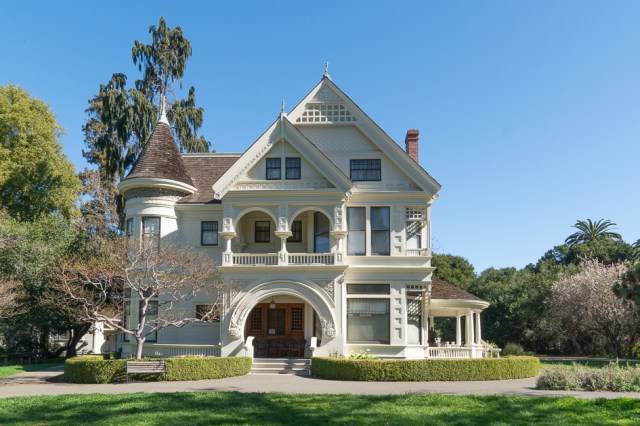
Three generations of Patterson’s lived in this house.
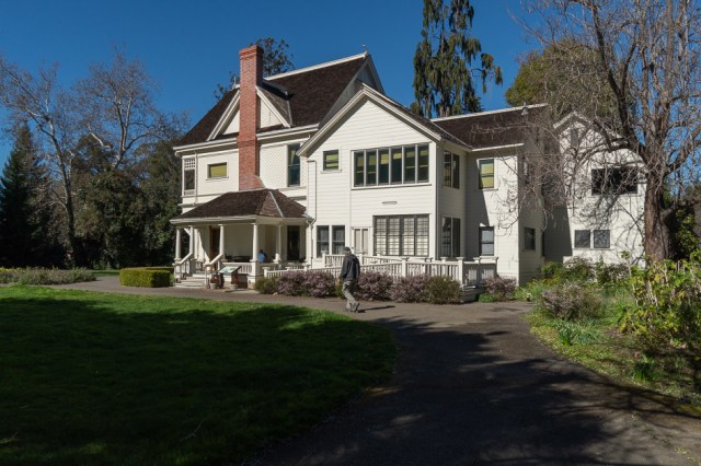
Side view of Patterson home
Volunteers keep the farm running, and the public is invited to see the farm in action. With cattle, farm animals, crop fields, and equipment, within 205 acres, there’s plenty to see and do.
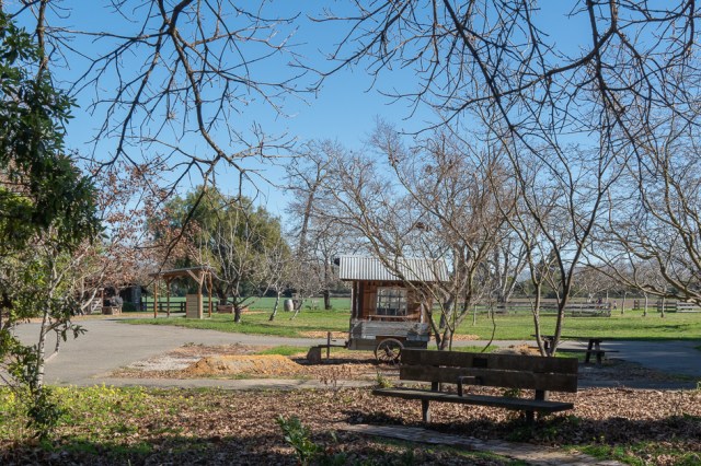
Park benches are scattered throughout
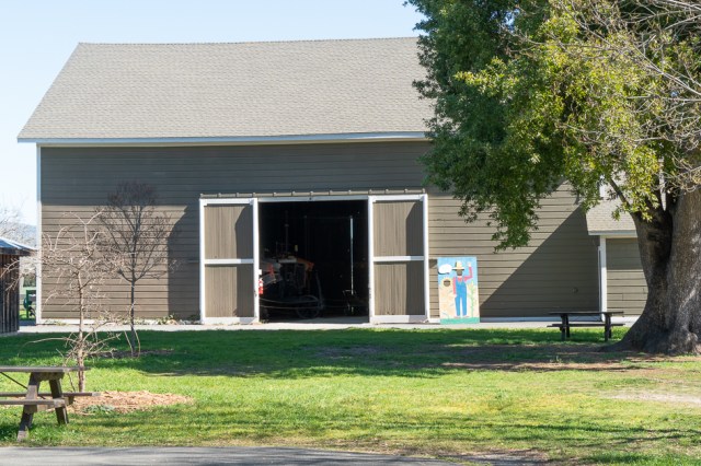
Hay barn
Lots of farm equipment in the barn
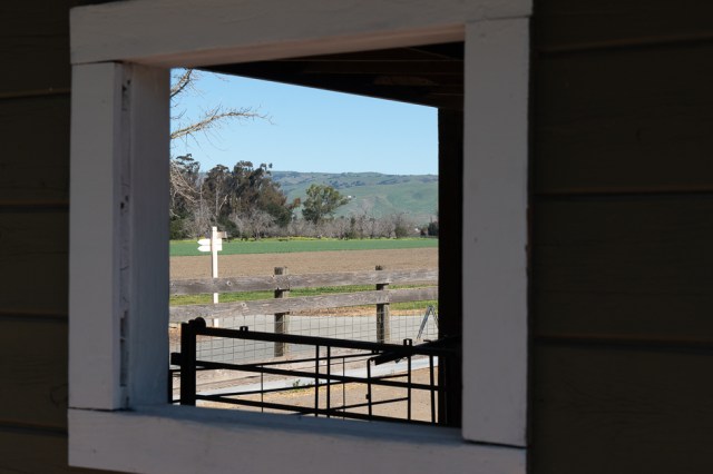
Through the window
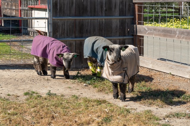
Blankets keep the sheep warm
The Farm is open year-round Tuesdays through Sunday from 10:00 in the morning to 4:00 in the afternoon. Starting in April and running through mid-November, docents conduct tours of the Patterson House, which was built in 1857 and added to in 1889 with Queen Anne architecture. Also, in season, train enthusiasts can ride the farm train.
Resting goats
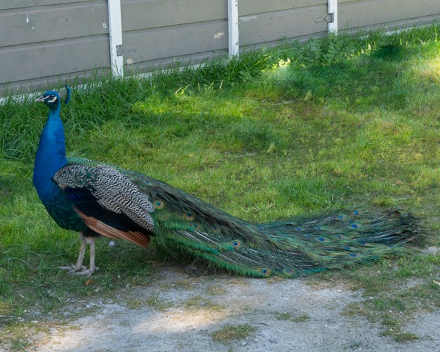
Noisy peacock
Wash day
Struttin’ Stuff
Conrads Field awaits its crop
Cattle graze near the remnants of the 1915 San Francisco Pan Pacific International Exposition Japanese Teahouse (in the foreground). The building was moved to the farm and in the process of conversion into a home when Clara Patterson died. It was never finished, and the building burned in 1941.
Deer Park Station and Picnic Area
Housing development in the distance backs up to the farm
Ardenwood was a great place to walk around, visit with the chickens, say hello to the goats and sheep, peek in the greenhouse, and wander through the hay barn. We didn’t see the eagles or the nest, but we heard one, off in the distance.
No longer endangered, Bald Eagles still require protection.
Coyote Hills Regional Park
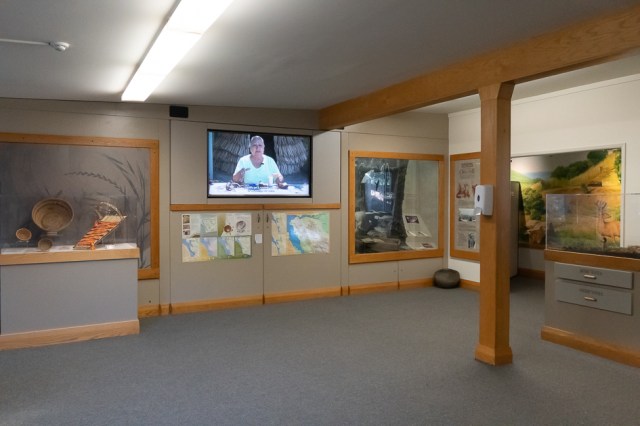
We couldn’t pass up a hike at Coyote Hills Regional Park since we were so close. Before the hike, we checked out the visitor center. The educational displays and exhibits portray the Ohlone native way of life and present the park’s natural history and wildlife.
Ohlone displays and artifacts in visitor center
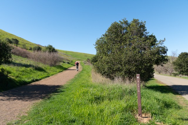
There are several trails to choose from, including trails for hikers, bikers, and equestrians. We started off on the paved Bay View trail, then transitioned onto a few intersecting unpaved trails and captured quite a few views.
Veering onto the Nike Trail
A bench, let’s sit.
Yep. We’re still in the modern world.
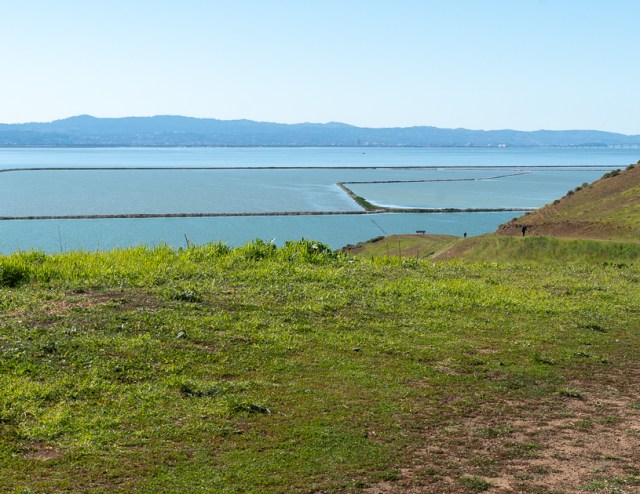
Along the west-facing shoreline are salt evaporation ponds and Don Edwards San Francisco Bay National Refuge. The egrets and raptors kept their distance while the wild turkeys pretended to ignore us when we walked by.
Salt Evaporation Ponds
Looking west toward town
Gobble, gobble.
When we finished our hike, The Nectar Garden enticed me to take a peek and see what flowers might be blooming. I wish I hadn’t been so tempted. Even though I didn’t see them attacking while taking photos, the itching made their presence known. The mosquitos must have been intent on my blood to go through my long-sleeve shirt and leave their mark on my arms and torso. I wasn’t sure the bites were worth the photos, yet the results pleased me.
White daisiesBlue pansies
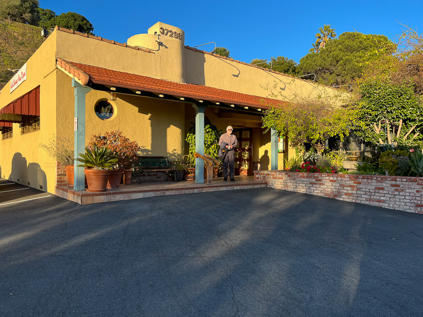
Papillon Restaurant
I once ate lunch at Papillon Restaurant some 15 years ago. Each time since then, whenever we passed by, we’d say, “We need to go there for dinner sometime.” Well, we finally made it and it was the perfect place to enjoy dinner after our hike. I hope we don’t wait another fifteen years to eat there again.
More about East Bay Regional Park District
We count ourselves lucky to live where the largest system of parks and open space in the nation is located. East Bay Regional Park District got its start through a ballot measure that passed by 71% in 1934. The purpose of the ballot measure was to protect and manage 10,000 acres of future parklands. Celebrating its 86th year of operation, the district now operates 73 parks and manages over 125,000 acres of land in the Alameda and Contra Costa counties.
Dumbarton Quarry is one of three campgrounds within the park district. We did a shakedown cruise at Del Valle a few years back and now stayed at Dumbarton Quarry. Since our visit to the quarry, we’ve booked reservations at Anthony Chabot Regional Park Campground. We can’t wait to tick off the third campground in the Bay Area.
Although we’d love to take off for a month or two and explore different states, for now, we’re content to explore near our home. Perhaps fuel costs will decrease by the time we’re ready to explore farther afield.