Junipers Reservoir RV Resort in Lakeview, Oregon
On July 26, 2017, Junipers Reservoir RV Resort in Lakeview, Oregon, turned out to be another working ranch. We have had good experiences staying at ranches and hoped for the best here.
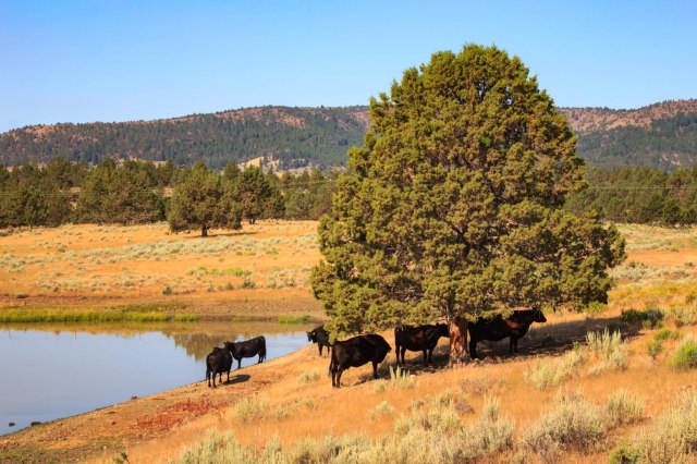
About a mile down a gravel road off the main highway and tucked behind hills, the RV sites were arranged in a circle with tent sites at the edge of the grassy center field.
This was a great place to clean the trailer, wash clothes, then sit back and relax.

One evening, we walked along one of the ranch roads and veered off onto a trail where a deer grazed among the trees.

The trail continued until we came to a creek. “Come on,” Jon said. “We can cross on those dead tree trunks by the barbed wire fence.” Say what? With care not to fall in the little creek or grab one of the fence barbs, we balanced on the logs and found the trail up the hill. I was glad to see a road that connected with the resort and relieved to have made it back to the trailer with no damage to any of our body parts.
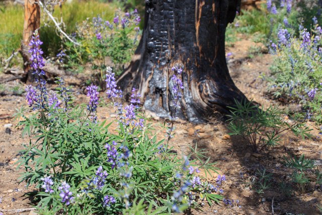
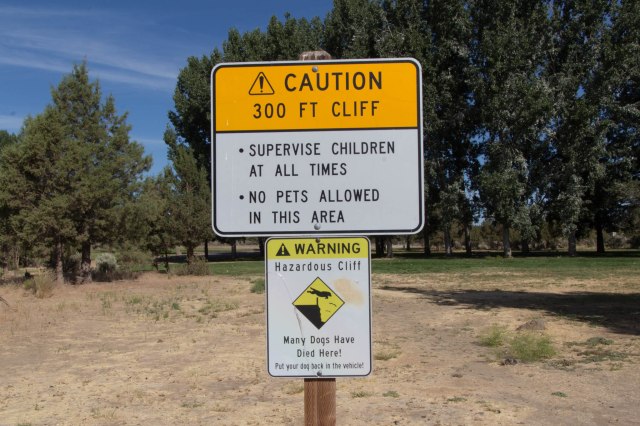
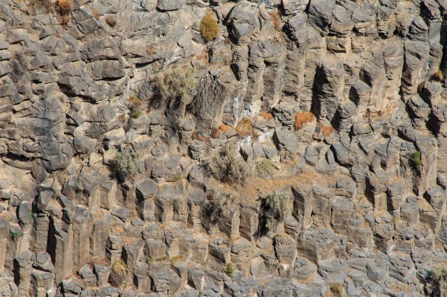
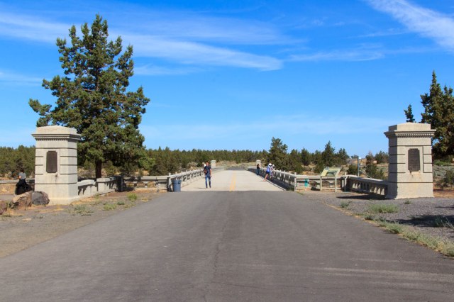
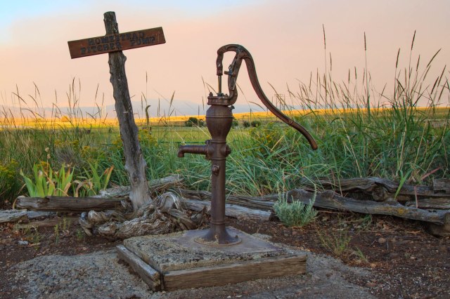
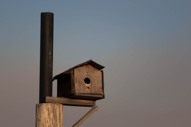
Here are a few more photos from around the ranch.

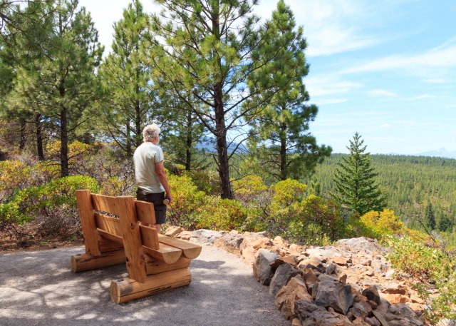
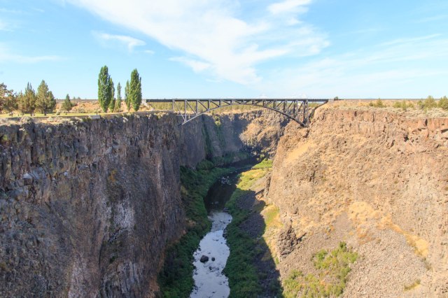
Before leaving the area we headed into town to restock the refrigerator and the pantry. While there, we found a little nature trail that circled up a hill at the city park. We didn’t make it through the entire trail because at one point bushes grew over the trail. I wasn’t about to blaze the trail with bare legs and arms. Before heading back down, we enjoyed the view.

We bought a bag of limes and other items from the smallest Safeway I had ever seen. We then drove to Goose Lake. There is not much there except a state park that would be a good spot for an overnight, but not much longer. Smoke from a fire in Alturas blew in overnight raining ash even though we were an hour away.
Contraband Confiscation
On July 29, 2017, we turned the wheels toward Graeagle, California, our next stop. Smoke grew thicker as we continued on Highway 395 and approached Alturas, California. We slowed and stopped at the California Agriculture Inspection. The woman greeted us with the usual questions of where we had stayed and then said she had to look inside our trailer. What? We’ve never had that happen before. After her grand tour, she stepped out of the trailer carrying our newly purchased bag of limes. Really? The limes we purchased yesterday from Safeway? Safeway had probably transported the limes into Oregon from California, now California Agriculture was confiscating them? Note to self, when traveling from Oregon into California, don’t carry any citrus products.
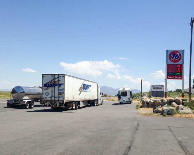
About ten miles from the crappy rest stop with pit toilets and some kind of water feature, the skies turned blue and clouds became visible. We stopped in Herlong, California, at a The Mark mini-mart and 76 Station for fuel and as a bonus purchased fresh made-to-order deli sandwiches. Be aware the sandwiches are huge. They also sold the usual pizza and fried food, such as corn dogs, chicken, and burritos. The picnic table inside and the one outside were both filled with people chowing down their lunch, so we stood next to a retaining wall, which was the right height for eating our sandwiches. When driving on Highway 395 we recommend a stop at this 76 station. As you can see there is plenty of room for RVs and semis to park
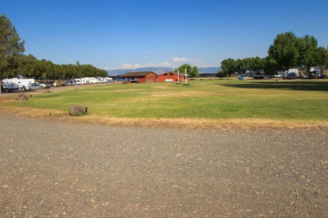
Moving West RV Resort
We arrived at Moving West RV Resort and they assigned us one of the best spots in the park. The fifth wheel fit snuggly among a stand of trees. On the curbside was a large grassy area with a triangle tarp for afternoon shade and a newly installed redwood fence along the dusty lane, which rarely saw a vehicle pass.

Raptor Adventures
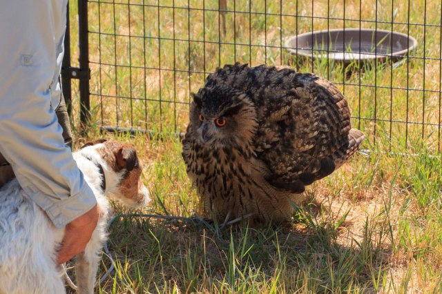
The reason we stopped at Graeagle was so Jon could take advantage of his Christmas present, a Raptor Adventure with Jim Tigan. How wonderful to be up close with Louise the owl,


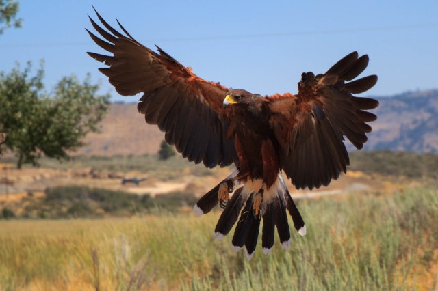
Fifi the golden eagle,


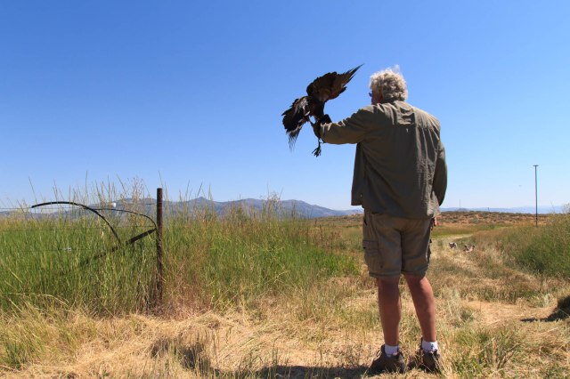
and go for a walk with Sonia the Harris hawk.

The owl didn’t much care for Bonnie, the new terrier that joined the family two weeks earlier. Louise ruffled her feathers and hissed at the little dog. Bonnie was more curious than scared of the owl.
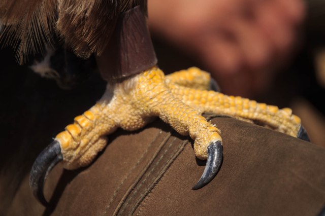
Although apprehensive at first to be nose to beak with the birds, Jon warmed up and was soon talking to them like he would an old dog. He petted their soft feathers and felt them breathe under his hand. The birds were so sweet and docile, soft to the touch, yet they possessed strong talons.
Jim taught Jon how to call Sonia from her perches, land on the glove, and peck at the meat he held in his hand.


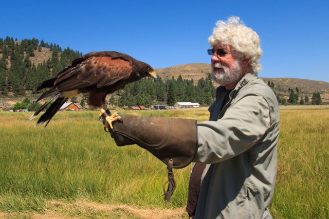
I even got a chance to feed Sonia. She was so light she didn’t jostle my arm when she landed or when she plucked at the piece of meat I held in the space between my gloved thumb and first finger.
We always marvel at these creatures whenever we see them atop electric poles searching for their dinner or in the sky coasting on thermals with their wings spread wide. We appreciate their magnificence even more after meeting them up close and personal.
To see a PBS program about Jim and his birds, click here. To see a Youtube video of best friends Annabelle the dog and Louise the owl click here.
Madora Lake
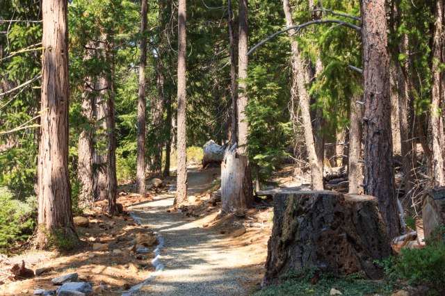
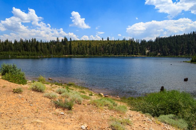
The next day we took a hike to Madora Lake. We saw signs the trail was under construction, but no one was working that day. In places, large rocks edged the trail and fine gravel filled the space between the edges.


Eureka Lake
We next drove to Eureka Lake on a dirt road for 1.3 miles and hiked up a trail until we had broken through the tree line. From the side of the mountain, the view gave us the feeling that we were on top of the world.

A cold Frostee was in order after our drive and hikes.

On Tuesday, August 1, 2017, we put the adventures and miles behind us and turned the truck toward home. We’ve seen wonderfully beautiful mountains during our travels these past few months, but Donner Pass on Highway 80 in California had to be one of the best with its high cliffs that rise above the freeway and rushing river that flows not far from the road. As we dropped down into the Central Valley, blue skies and puffy white clouds gave way to gray haze and smog. Temperatures nearing 100 degrees and a spare-the-air day welcomed us home to the San Francisco Bay Area.
Stay tuned for our next adventure to Southern Utah and Northern Arizona where we gazed down at the hoodoos of Bryce, up at the cliffs of Zion, and across the Grand Canyon from the North Rim.
Safe Travels