
Only July 4, 2017, we made progress toward Glacier National Park selecting Livingston, Montana, as a waypoint for a few days. Smoke streaked across the sky along Interstate 90, even though Inciweb indicated no fire in the area. A few miles east of Hardin, we drove under the stream of smoke leaving clear skies ahead. We continued through hills sporting their golden summer hue, saw a cornfield growing between the freeway and a train yard near Laurel, and experienced the finest rest area ever. Greycliff Rest Area Westbound didn’t have the usual dark and dank multi-stall facilities one finds when stopping along the freeway. Instead, we found two building wings—one for men and one for women—with individual ADA accessible rooms. The room couldn’t have been any cleaner or more comfortable. As we continued our route, the Crazy Mountains loomed ahead with the remnants of winter snow outlining the crevices and valleys.
Off Pine Creek Road (US-89 S) we found the Livingston Paradise Valley KOA nestled between tall cliffs of a canyon. I thought for sure the authorities had banned fireworks in this area of forest, farms, and ranchlands that border the Yellowstone River. Silly me, the explosions echoed in the canyon until at least midnight. Happy Birthday, USA.
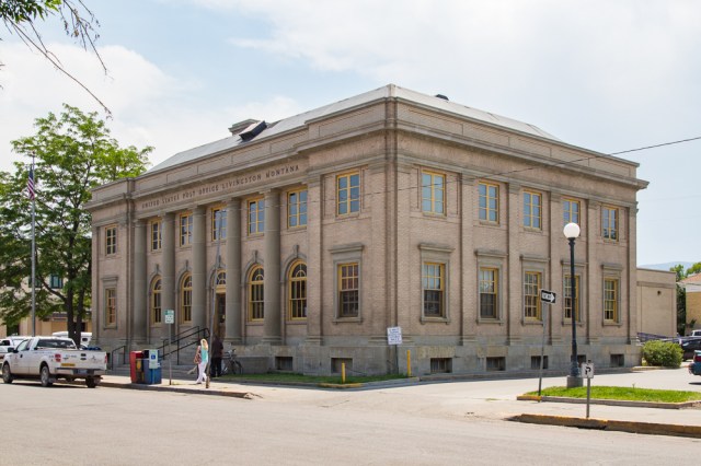
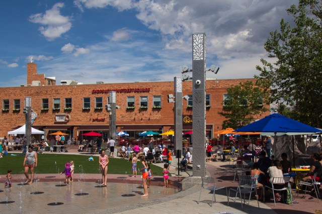
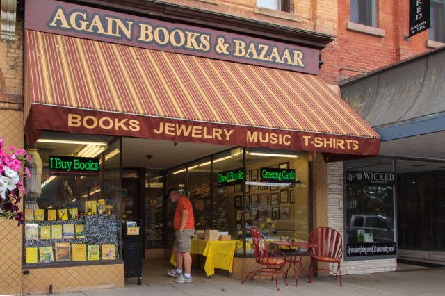
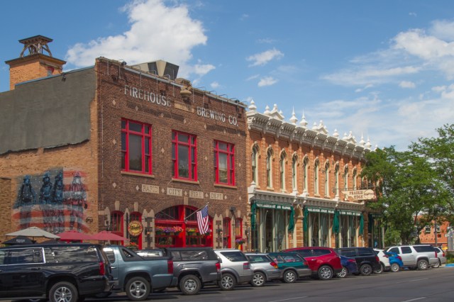
The City of Livingston, Montana, is a historic railroad and ranching town and was the first gateway into Yellowstone National Park. Art galleries, bookstores, outfitters, breweries, restaurants, boutiques, and banks occupy several blocks of historic buildings.

Step into Montana Watch Company for a custom-made timepiece. I’d love to own one of these gorgeous watches. Unfortunately, their price point is beyond my budget.

To escape the sweaty 100-degree weather, we stopped in at Katabatic Brewing for a pint of Hefeweizen and taco salads served by Fiesta En Jalisco, a Mexican restaurant next door. I received a meteorological lesson when I asked about the name Katabatic. The owners named the brewery after the ever-present winds in Livingston, which can equal or exceed 70 mph. The Santa Ana winds in Southern California are also of the katabatic variety where the wind carries high-density air from higher elevations down slope. With winds exceeding 30 mph on 246 average days a year, Livingston is the windiest city in Montana. What else would you call a brewery in the windiest city?


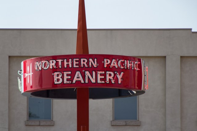
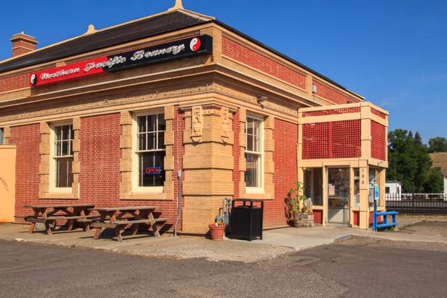
We recommend breakfast at Northern Pacific Beanery in Livingston. With vintage décor and a choice of counter seating or chairs at a table, you’ll feel like you stepped into the 1900s when the location served railroad workers, locals, and visitors who rode the train to Yellowstone, the world’s first national park.
On the hunt for freshly baked bread, we headed to Bozeman. Our mouths watered when we walked into Great Harvest Bread Co. and smelled the yeasty goodness baking in the ovens. We enjoyed the aroma of a loaf of Honey Whole Wheat the rest of the day and until we returned to the KOA.
While in Bozeman, we visited the American Computer and Robotics Museum. Their displays range from stone tablets to an iPad, cyborgs and robots, early video games, an original Apple I signed by Steve Wozniak, and the first PC. They have filled each room with memorabilia for the theme be it robotics, computers, video games, or brains and thinking machines. Also included are pictures and biographies of the creators and scientists.


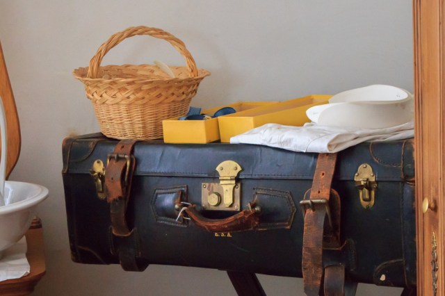
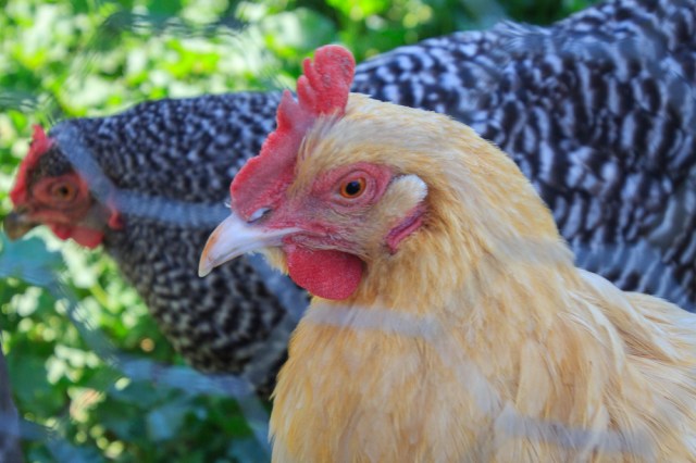
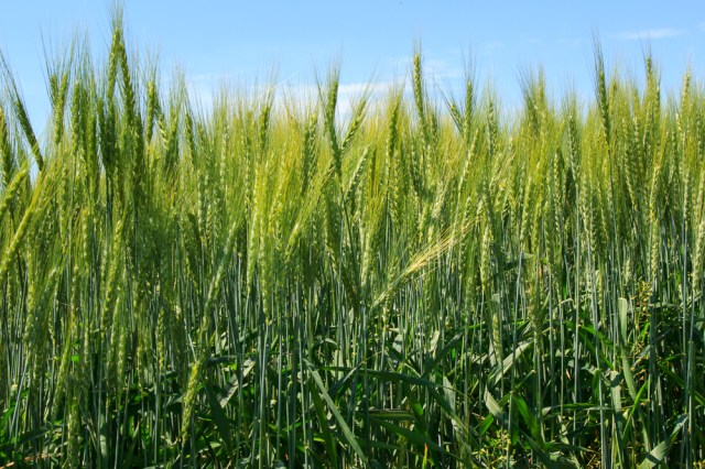
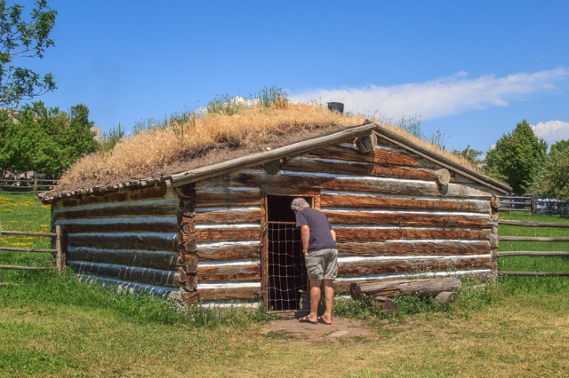
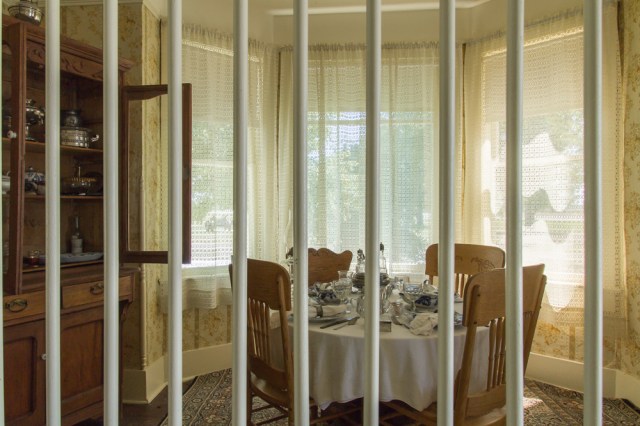
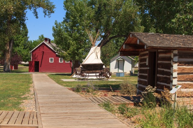
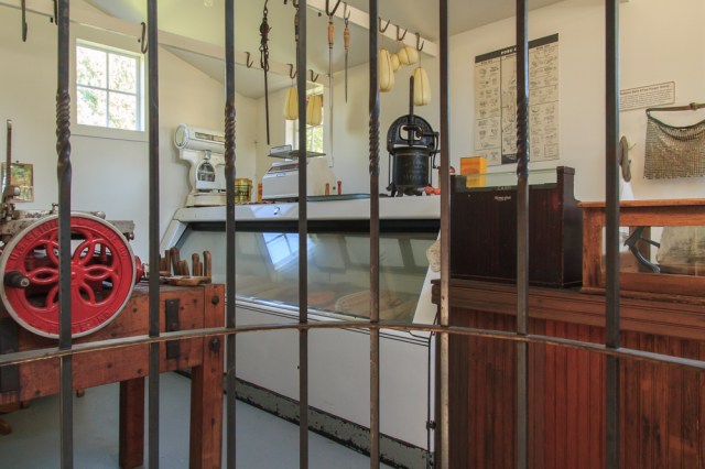
The Tinsley Living History Farm at the Museum of the Rockies was our next stop. The volunteers stationed in each of the main rooms of the house wore period costumes, multiple petty coats under cotton dresses with long sleeves in 100-degree heat. Oh, my! I was glad I had on shorts and a sleeveless top. The docents detailed the history of the house and the people who lived in the home. In the kitchen, they took turns churning cream into butter. Tinsley descendants and other people donated many of the furnishings, decorations, and appliances, some of which could have been purchased from the Sears catalog in the day. Outside we found a wheat field, chickens, gardens, and a replica of the Tinsley’s original log cabin with a sod roof, in which they lived for 20 years before they built the house.
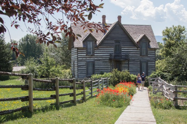


It looked like the walls were lined with a sail cloth fabric. We were told it was actually paper.
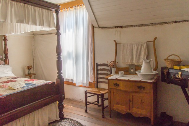
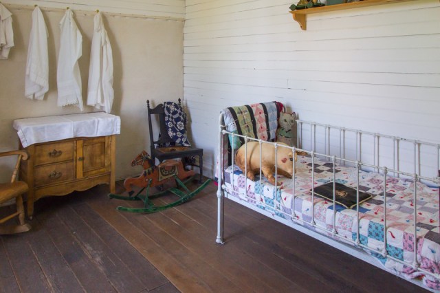
The Tinsley’s, along with their eight children, lived in a cabin similar to this one for twenty years before they built the big house. I can’t imagine living in that tiny space with more than one other person, much less eight children.
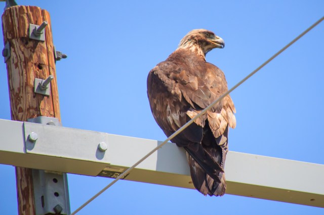
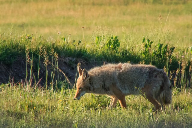
After each day of sightseeing while in Livingston, this golden eagle greeted us back to the campground. Always perched on the same electrical pole and scanning the field for dinner.
We waved goodbye to the golden eagle on July 7, 2017, and pointed the truck in the direction of Columbia Falls, Montana. On our way, we found a couple of gems worth mentioning.
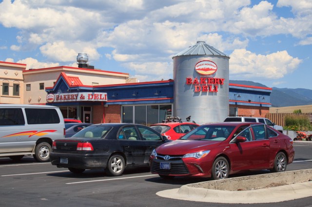
In Missoula, Montana, we stopped for fuel and some lunch. What a surprise to bite into a generous serving of sandwich fillings between freshly baked bread from Wheat Montana Bakery and Deli. We were thankful for the fresh ingredients and tasty meal worthy of a gourmet restaurant. It was so unexpected at a fueling station where the usual offerings consist of pizza, soggy cellophane wrapped sandwiches if you’re lucky, or anything that is fried or spinning on a spit.
Bowman Orchard and Winery on Highway 35, which runs along the east side of Flathead Lake had ample parking for our rig. We munched on sweet cherries the rest of the way to Columbia Falls.

Join us next week when we begin our tour of Glacier National Park from our base camp in Columbia Falls, Montana.
Safe Travels
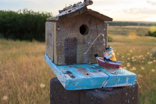
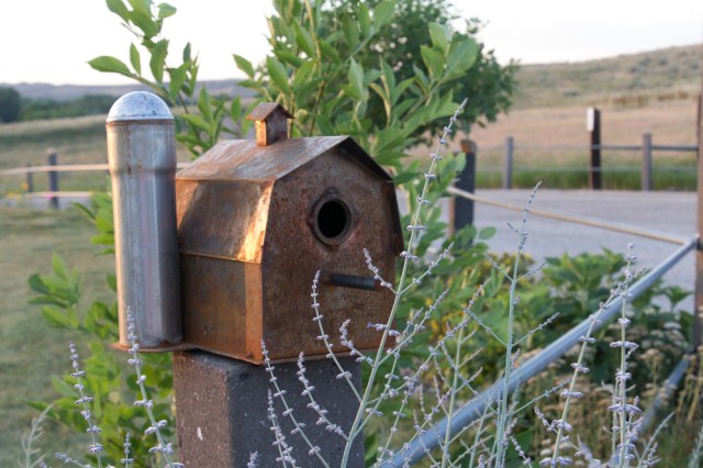
 7th Ranch RV Camp


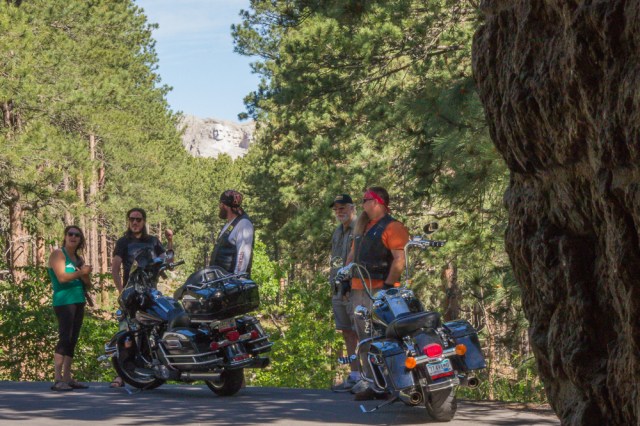

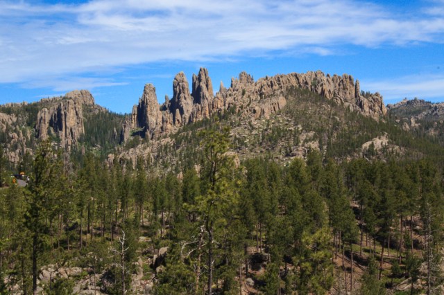


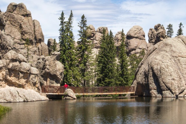


 The whop, whop, whop of the blades seemed to follow us everywhere and ruined the ambiance of the Black Hills experience. The aircraft flew overhead at Mount Rushmore and Crazy Horse, while we rode the 1880 Train, as we traveled Iron Mountain and Needles Highway, and at Sylvan Lake.