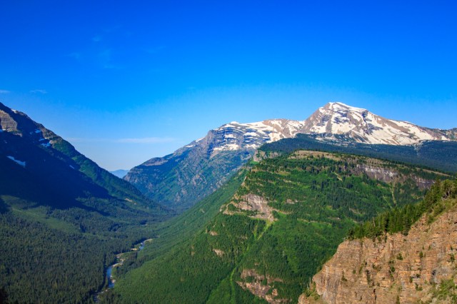
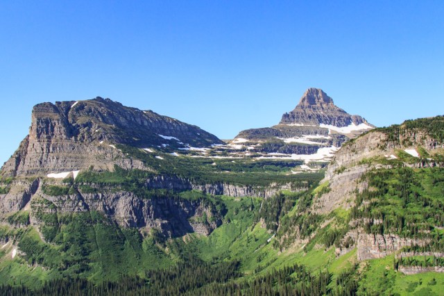
Going-To-The-Sun Road (GTTSR) was first on our list of things to do in Glacier National Park. The fifty mile road includes several points of interest for fantastic views of the wildflowers, snow-capped mountain peaks, and valleys below.

Going-To-The-Sun Road
With speed limits ranging from 25 to 45 miles per hour, drivers can’t be in a hurry to reach the other end of the park. The park recommends an early start to avoid the traffic jams. This is fine if you don’t want to stop at Logan Pass Visitor Center or are only traveling one-way. For a round trip drive, however, plan on spending a full day and encountering significant traffic on the way back.
The road is an engineering marvel for the 1920s. Instead of creating a solid tunnel with no view, portholes were created so passengers can catch glimpses of the scenery as they drive through. This is an example of one of the tunnels.

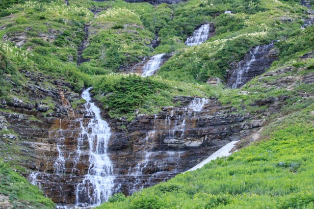
Weeping wall is a remnant from construction of the GTTSR. Engineers created a cliff when they carved through the rock in this section. Water from springs and melting snow pour over and onto the road surface below.

It was a good thing we took photos on our way eastbound because on our return trip it felt like driving through downtown San Francisco during critical mass when all the bicyclists arrive to disrupt traffic flow. Wildlife traffic jams are a common occurrence in national parks. On our return trip later in the day, the wildlife turned out to be two young women. One woman posed on the wall side of the road with the water pouring down behind her while her friend stood on the other side taking a photo. The vehicles going in both directions inched their way between them. It always amazes me how people put their lives in jeopardy all for the sake of a photo.
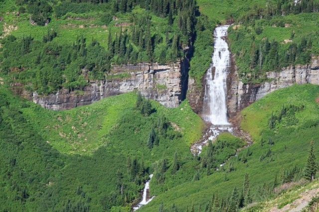
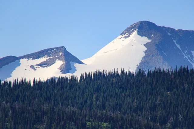
Enjoy a few more renderings of the scenery along the Going-to-the-Sun Road.


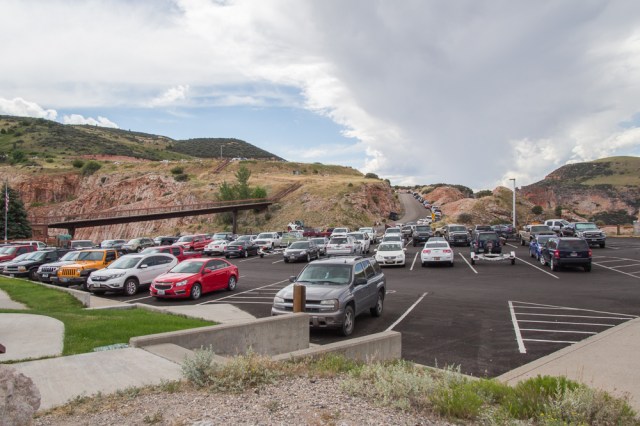
We thought we had left early enough to make a stop at Logan’s Pass Visitor Center. Not so. We drove into the parking lot along with other cars circling around in search for a space. We spotted people getting into their car. Jon turned on his blinker and left room for other vehicles to pass. The car’s back up lights came on. A lady pulled up next to us. We thought she would drive on. No such luck. I got out and told her we were waiting for the car to leave, didn’t she see our blinker? Her reply, “I followed them from way over there. It’s my spot.” Really? Is that a thing? It wasn’t worth arguing about so we ended up taking turns driving around the parking lot so we could visit the restrooms. If we come back to Glacier, we’ll take the shuttle to Logan Pass Visitor Center.
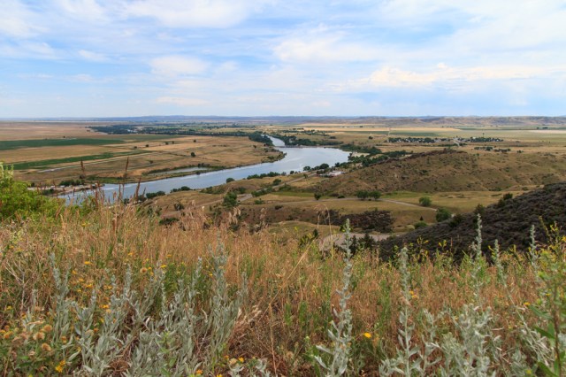
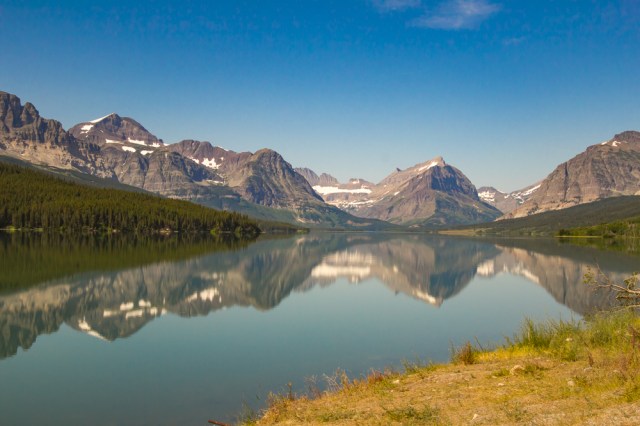
Further down the road, only a few cars had parked along St. Mary Lake leaving plenty of opportunity to take pictures.
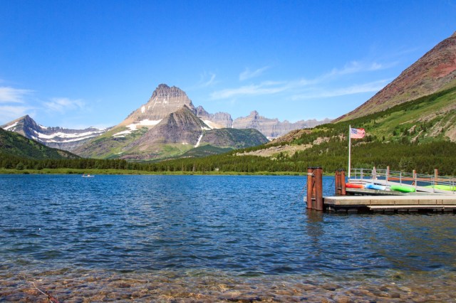
Many Glacier
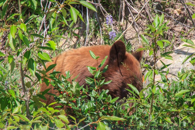
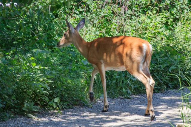
We exited the park in St. Mary and headed toward Many Glacier. The road into Many Glaciers travels through the Blackfeet Indian Reservation. Although evidence of recent road work was visible, huge potholes and washboard areas made for a very slow and bumpy ride to the park entrance. A few yards from the gate, this cub was too busy foraging for his meal to raise his head for a photo op.
The Many Glacier Hotel in the Historic Swiss Chalet, looked like a great place to get a bite of lunch.

The rich wood paneling, high ceilings, gleaming floors, and stone fireplace created a sense of warmth that invited us into Ptarmigan Dining Room.

The view from our table could not be beat.


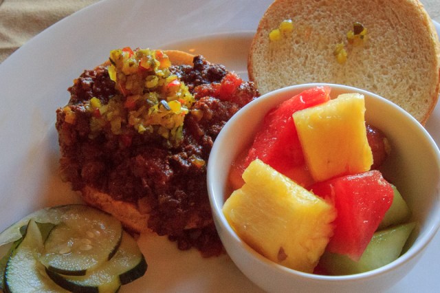
The food? Not the best part of our experience. My bison sloppy joe wasn’t the most enticing dish when the server placed it in front of me. Although it tasted okay, it was nothing special.
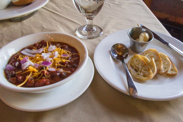
Unfortunately, after Jon took a spoonful of his bison chili, he wanted to ask the server, “Where’s the bison?” The chili was mostly beans. We found the reviews on Travelocity similarly mixed.
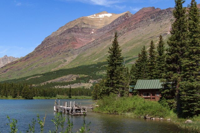
After our meal, we walked along the Swift Current Trail that wraps around the lake in a loop.


If we make our way back to Glacier National Park, I’d like to spend a few days on the east side and explore the numerous trails around Many Glaciers, maybe even take a boat ride, or try out a kayak or stand-up paddle board.
Good to Know Information about Going-To-The-Sun Road
An audio tour of the road is available to download on the NPS website here. Transcripts of each recording are also available.
Tours:
- Sun Tours imparts information about the Blackfeet Indian culture and the importance of Glacier National Park to their heritage
- Ride in a historic Red Bus and enjoy the scenery in a convertible vehicle
- Going-to-the-Sun Road Shuttle System travels between Apgar and St. Mary visitor centers making stops along the way, including Logan’s Pass
A few precautions:
- Vehicles longer than 21 feet, wider than 8 feet, and/or taller than 10 feet are restricted. Visit the website for more information about the road conditions here.
- Don’t be in a hurry
- Watch out for
- Construction zones
- Bicyclists on portions of the narrow road
- People walking into traffic at trailheads and points of interest stops
- Cell and WiFi service is pretty much non-existent throughout the park
- Pack snacks and/or a lunch
Stay tuned for more of Glacier National Park and a visit to Whitefish, Montana in next week’s post.
Safe Travels


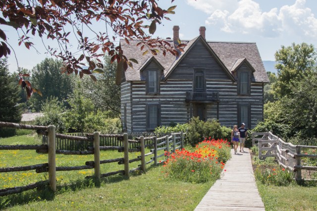


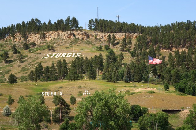
 7th Ranch RV Camp