Onward we traveled to trade in the Orange County crowds for peace and quiet in Borrego Springs on April 4, 2018, the 68th day of our 2018 Winter Tour. We arrived at Palm Canyon Hotel and RV with time to check out the Anza-Borrego Desert State Park visitor center.

We watched the introduction movie and picked up a few pamphlets and maps to plan our days.
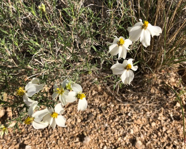
Anza-Borrego is known for its fabulous display of spring wildflowers when winter rains provide ideal conditions for the show. The winter of 2017-18 did not bring enough rain.
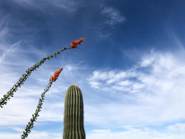
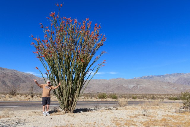
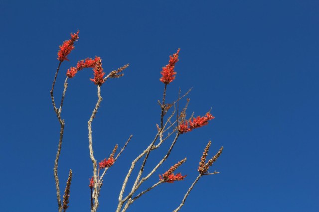
Wait, stop! A lone ocotillo in bloom. We wondered if someone drove by each day and gave it a drink.
The Hikes
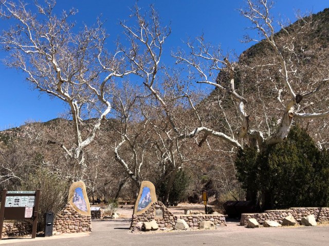
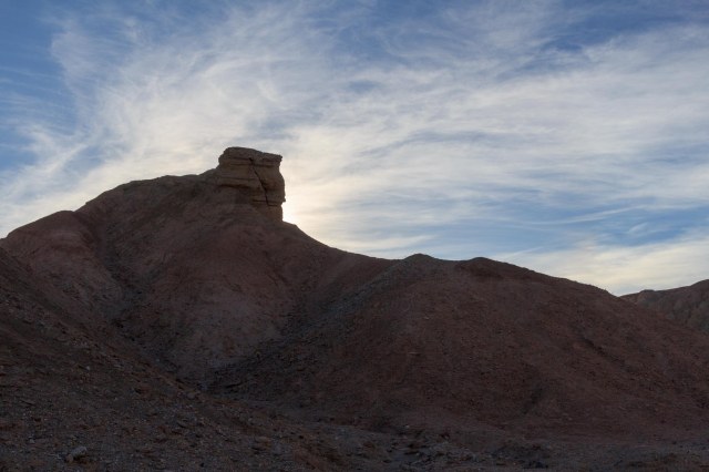
Borrego Palm Canyon Trail
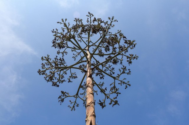
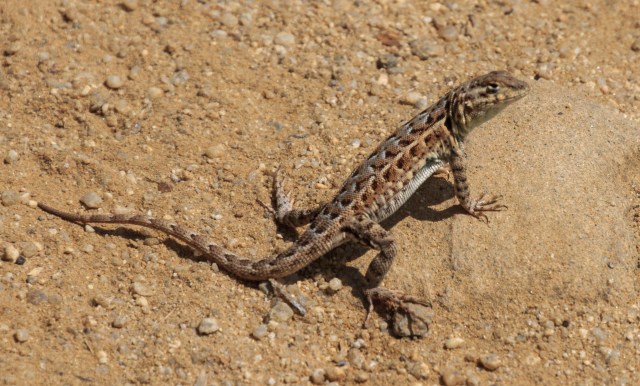
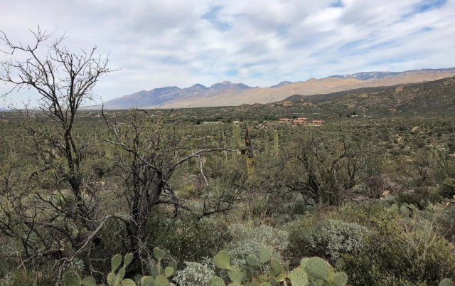
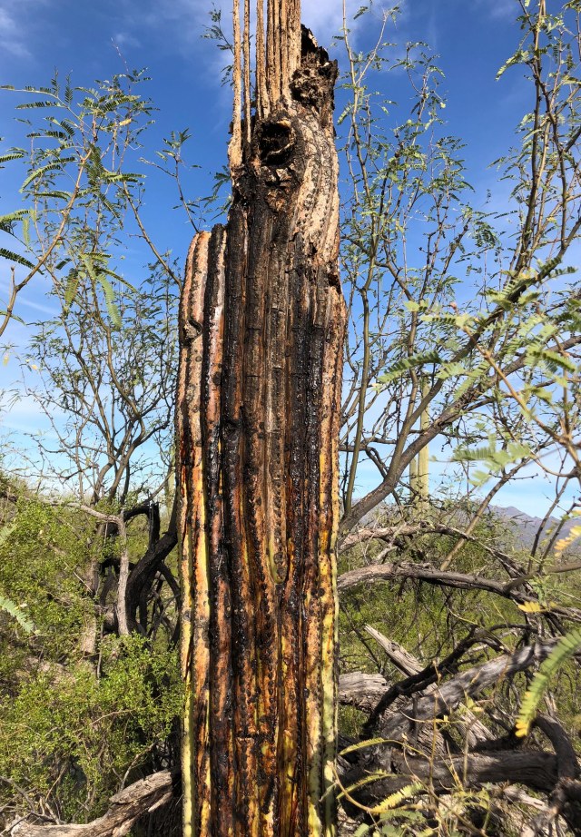
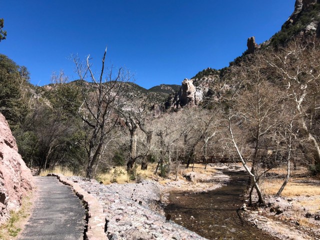
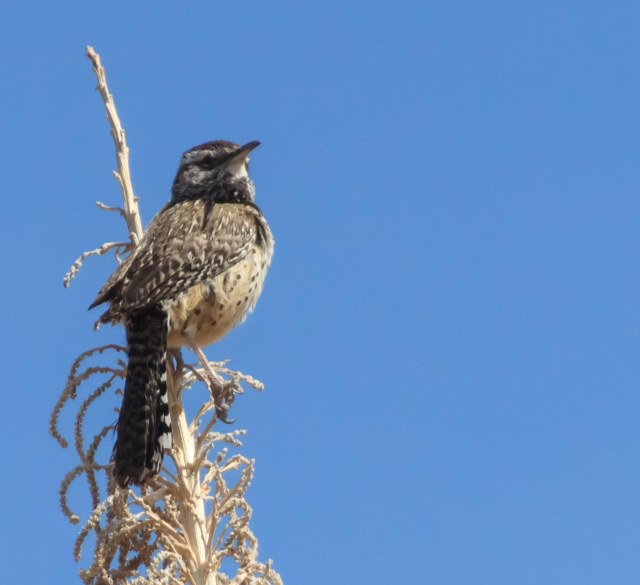
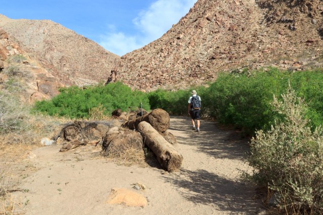
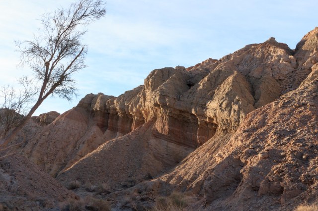
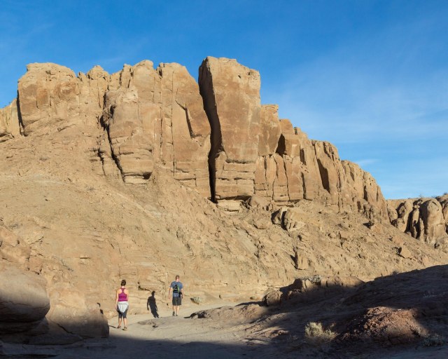
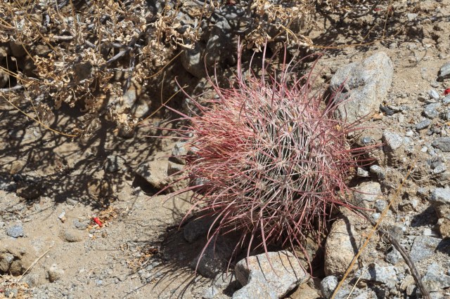
Borrego Palm Canyon Trail is a popular hike that skirts a creek through a canyon. Doves cooed and bees buzzed, and sand-colored lizards dashed about as we walked by, and a few wayward cactus blooms poked out their heads


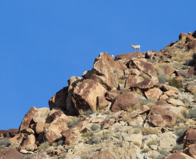
A white dot appeared on a ridge. Was it a bighorn sheep? I zoomed in to see and wished we were closer.
The 2004 flood uprooted a bunch of palms in the canyon and scattered them along the trail and in the creek bed.
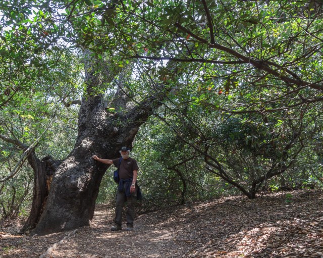
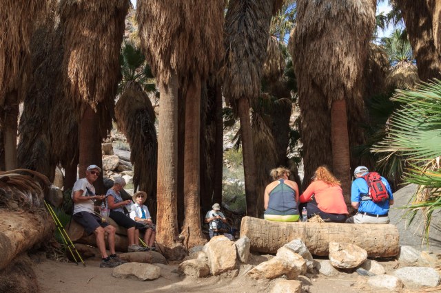
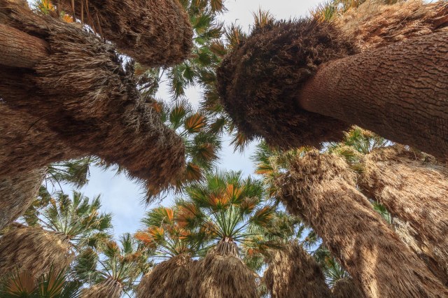
After scrambling over creek boulders, we entered an oasis. The canyon must have been a beautiful site before the flood.

We joined a group of people in the shade and enjoyed our snack before making our way back down.
The streaky clouds hardly subdued the heat.

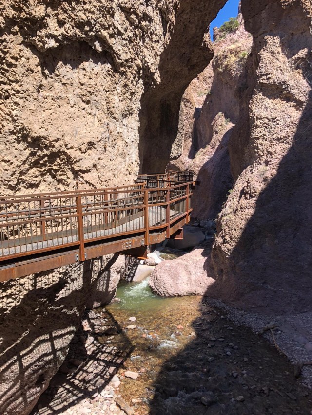
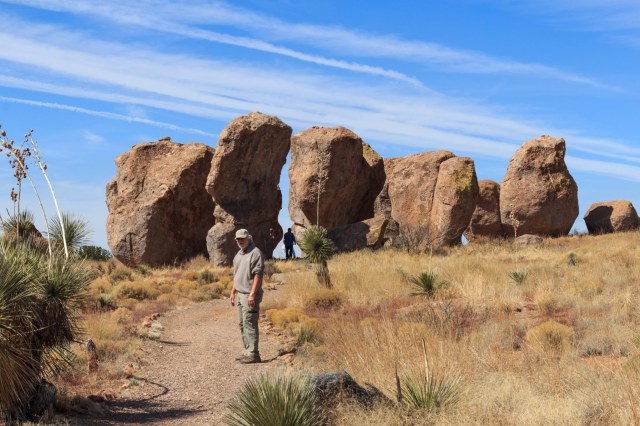
The Slot
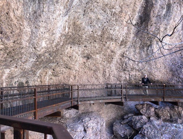
We woke early to hike The Slot, hoping to beat the heat. Although the sun had already risen over the horizon, the valley floor was still in shadow when we started out.
It was a good thing we woke early to hike The Slot. The tight squeeze through the canyon would have been challenging if we encountered people coming toward us.
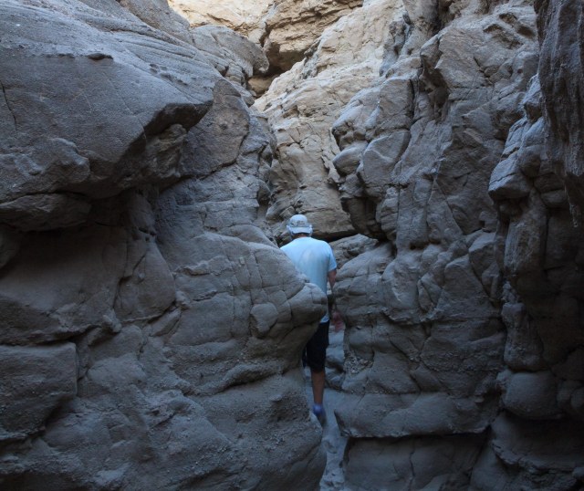
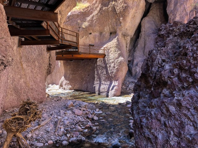
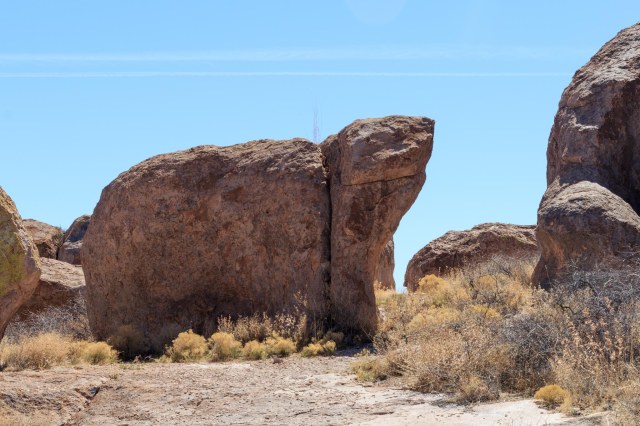
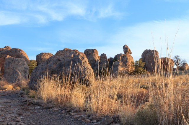
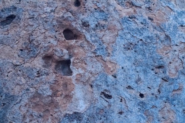
Although the walls lacked the variated red of other canyons we’ve explored, the formations were still impressive.

Only a few cliffs showed off iron oxide layers.

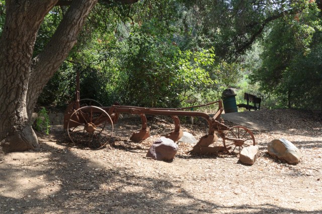
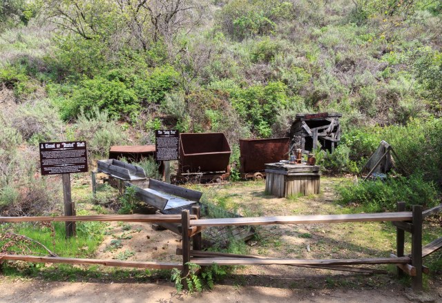
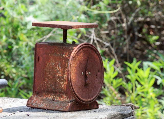
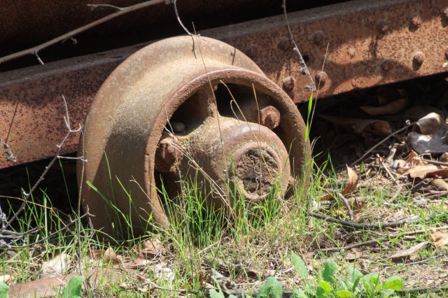
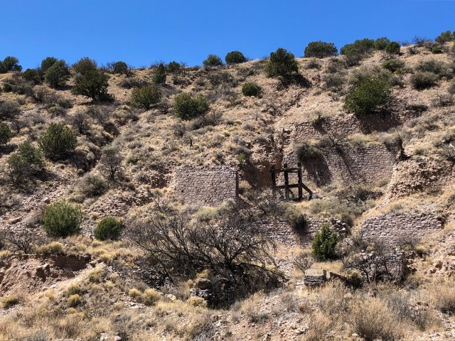
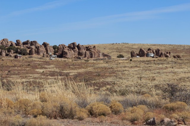
These man-made formations enhanced the interest of the landscape.

Yaqui Well
Yaqui Well is located near the Tamarisk campground. Parking along the road is available, some with shade. Sunscreen and plenty of water are recommended during hot weather. This trail is a desert botanical garden featuring several varieties of cactus.


We didn’t find a well, only a spring. The greenery was a clue water existed, but it was not visible.

Narrow Earth Trail
We missed the turnoff for the Narrows Earth Trail and had to turn around. Although tire tracks were plentiful at our turn around spot, they disguised the deep sand. The back tires of the truck stuck hard. Our son, Kevin, and his girlfriend, Bailey, dug out sand from in front of the rear tires, then the three of us pushed the tailgate while Jon drove out, spewing sand all over us. We learned our lesson and now carry a shovel in the toolbox.
Bighorn sheep were our reward once we found the trailhead and started walking. We watched as a bighorn scrambled through the brush and climbed the hill. Then another one came and grazed while keeping an eye on us.

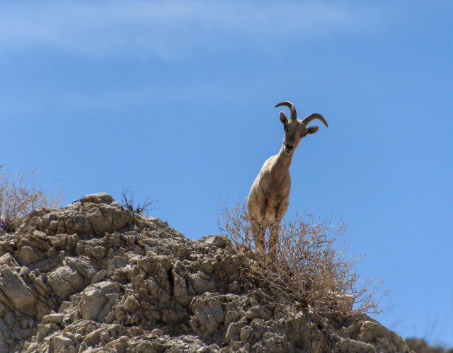

They watched as we slowly made our way up the trail and whispered to each other, “Look, look, over there, kids and juveniles.”


Although it was a pain in the behind to get stuck, our timing was perfect to see the Bighorn sheep up close.
The Town and Surrounding Area
Christmas Circle Community Park
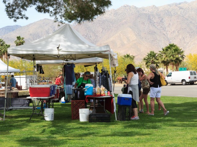
If something is happening in Borrego Springs, it is likely occurring at Christmas Circle Community Park. On Thursday, vendors set up shop at the farmers market. We chowed down on a couple of tamales from a woman who kept busy serving her patrons. The pico de gallo was the perfect complement for the chicken tamales.


Borrego Springs is completely surrounded by the Anza-Borrego Desert State Park and boasts a population of over 3,500 seasonal and year-round residents. It holds the distinction as California’s first International Dark Sky Community due to its distance of 55 miles from the highly populated California coastline.
With tourism as the primary industry, the town includes a variety of resorts and inns for all price ranges as well as restaurants. Borrego Outfitters offer clothing, footwear, outdoor gear, and gifts. Spas, fitness centers, medical services, a grocery store, and a library are other amenities available.
A chock-full calendar of events from October through May provides plenty of events for the tourists and residents.
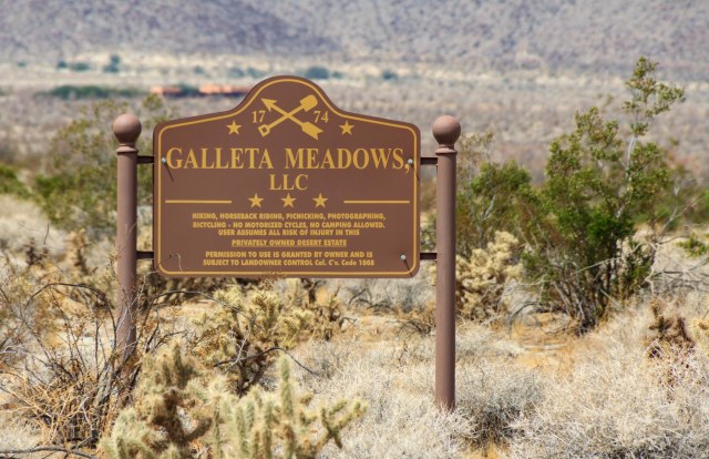
Galleta Meadows Estate
Visitors to Borrego Springs have fun with the sky art throughout the area. Dennis Avery turned his private estate into an art museum when he commissioned Ricardo Breceda to create a series of sculptures inspired by the history and nature of the Anza-Borrego Desert.
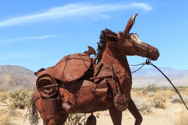
Dirt roads weave in and around the sculptures, which began arriving in April 2008, allowing visitors to get up close for photo opportunities.

The detail of the metal structures speaks to the craftsmanship that went into their creation.

From prehistoric creatures to this miner and his mule, Breceda depicts life in the desert throughout the years.

Not only does he depict a mule burdened with the miner’s supplies, he sets it in motion as if the jenny is spooked and pulling away from something that has frightened it.
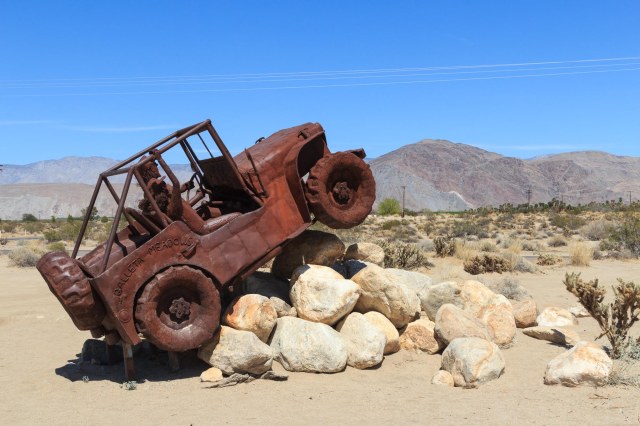
Breceda pays tribute to modern times with the jeep navigating boulders in the backcountry. In Anza-Borrego State Park and surrounding area offroaders have a dilemma figuring out which of the many primitive roads they want to explore.
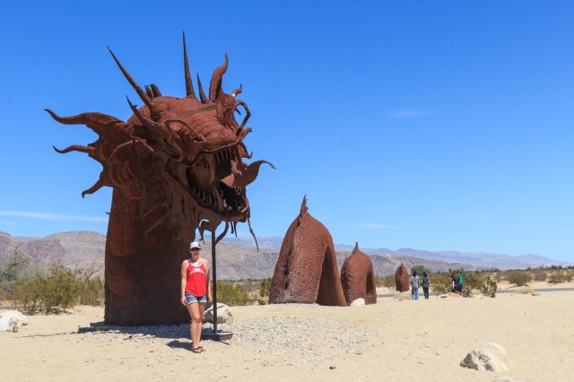
Visitors crowd around the serpent that crosses the road, taking one photo, two photos, and more. We waited several minutes in order to take our selfies. The tail of the serpent continues on the east side of the road.

And here are a scorpion and a grasshopper poised for battle.

I can’t wait to get back to Borrego Springs and Anza-Borrego State Park to explore all the places we weren’t able to visit. In the meantime, I’m praying for lots of rain during the 2018-19 winter. Come on, rain, bring on the wildflowers.
Safe Travels