
Pecos National Historical Park
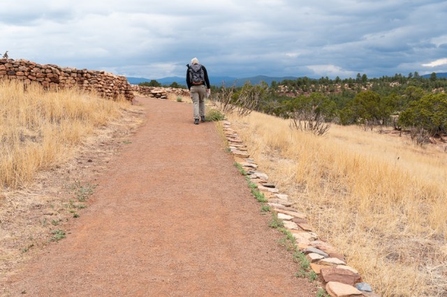
A 30-mile drive southeast of Santa Fe to Pecos National Historical Park (PNHP) made the park an easy drive for a day trip. PNHP’s mission is to preserve “the natural and cultural resources” by stabilizing and repairing existing buildings.
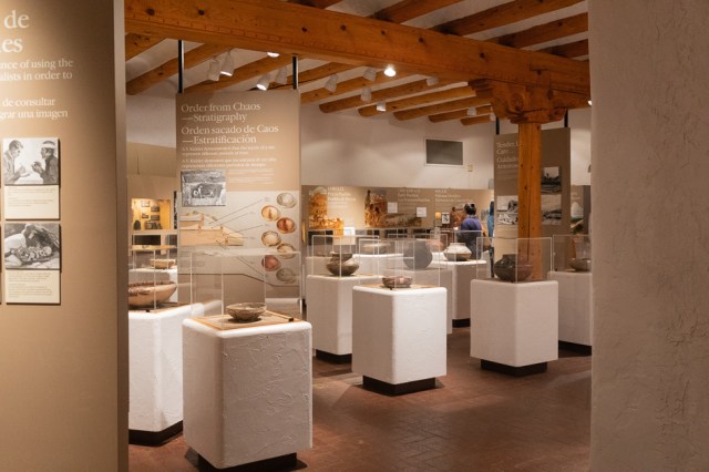
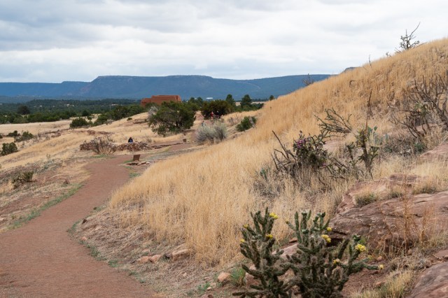
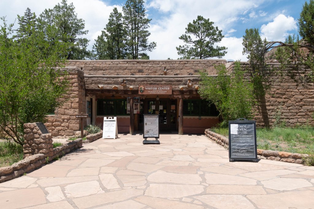
We started our tour by watching the introductory film in the kiva-style theater and exploring the displays in the visitor center. Then we picked up the Ancestral Sites Trail Guide and ventured outside.
Signs along the trail matched the guide, which allowed us to learn more about the people who called this place home for hundreds, if not thousands of years.
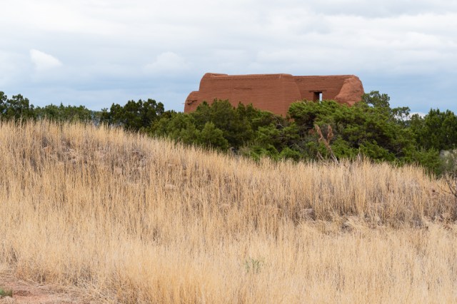
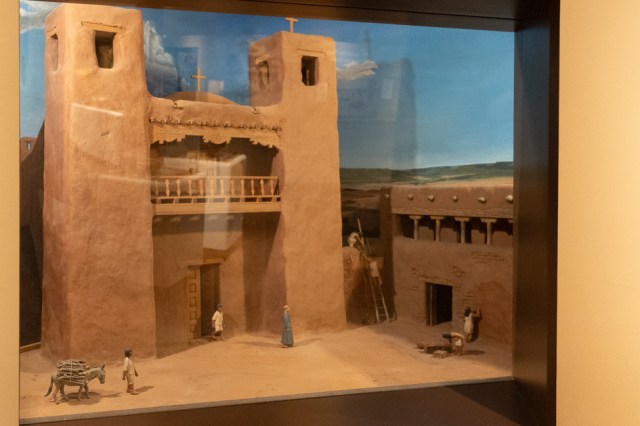
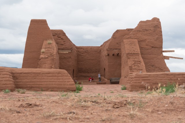
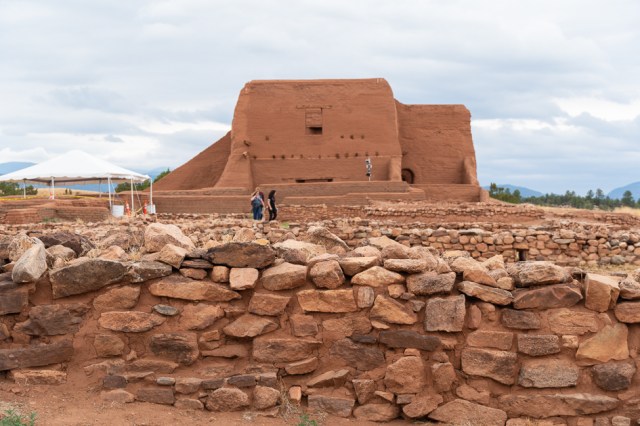
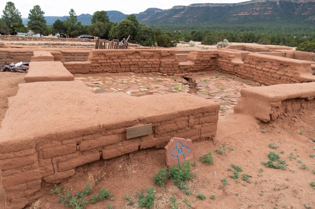
Four churches, or conventos, were built outside of the pueblo, with the first built in 1617-18. A second larger church built in 1625 was destroyed during the Pueblo Revolt of 1680. A third one-room church replaced the one destroyed. What we see today are ruins of the fourth church, completed around 1717, that sits upon land where the second church stood.

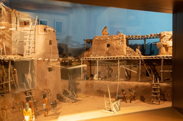
Archaeologists believe the village once supported up to 2,000 people. The first encounter with the Spanish occurred in 1540, when a scouting party from Francisco Vazquez de Coronado’s expedition came on the scene. Fifty-eight years later, the Spanish returned with settlers and Franciscan priests.

The technique currently used to preserve the church is encapsulation, whereby park staff make bricks on site—using original methods—then encase the original adobe bricks. Another technique is to apply a coat of mud plaster to prevent further weathering of the original bricks.

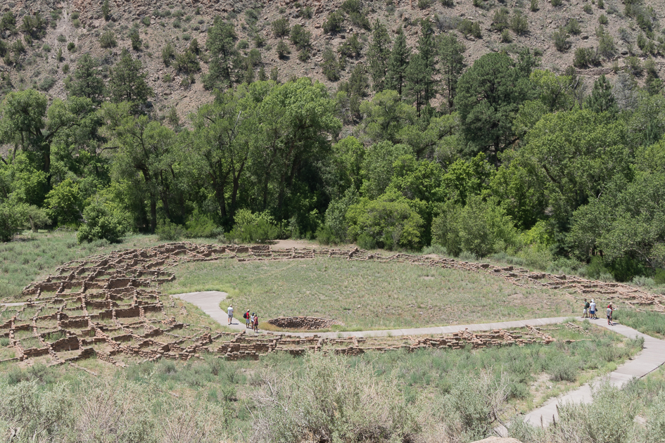
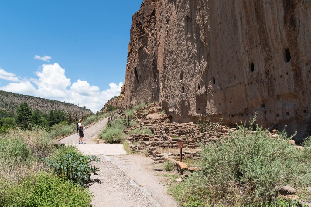
Bandelier National Monument
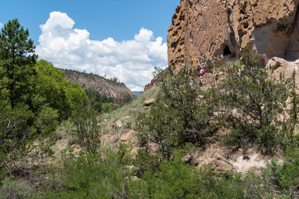
A fifty-mile drive took us to Bandelier National Monument, another site populated by ancestral pueblo people. Except at this site, it appears the people abandoned the village during the mid-1500s. Thus Bandelier avoided Spanish influence and populated settlements that could have destroyed the ruins.
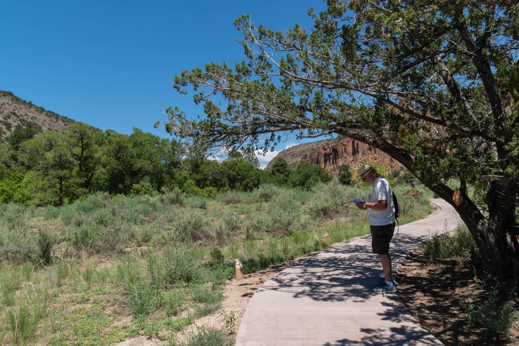
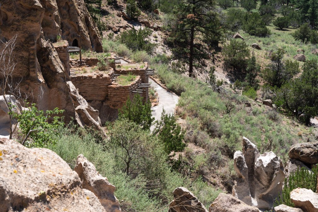
We picked up the Main Loop Trail Guide and followed the numbered spots through Frijoles Canyon on the 1 ¼ mile trail.
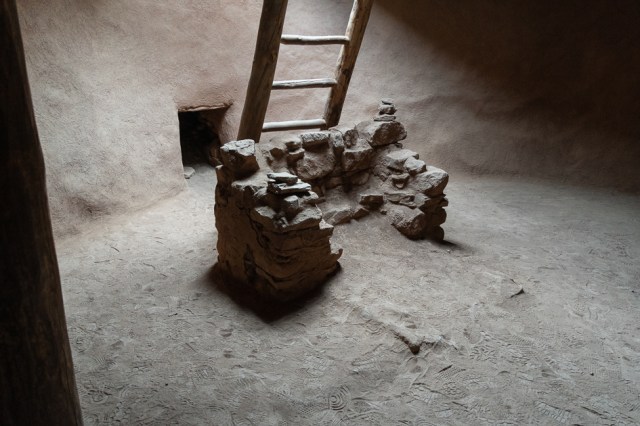
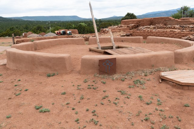
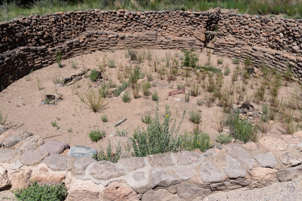
The trail guide described the kiva as having a roof supported by six wooden pillars with ladder through the roof used as the entrance. The guide continued, “Imagine climbing down the ladder into a darkened room, flickering torches offering the only light, people sitting on the floor and along the walls.”
Edgar Lee Hewett, an educator and archeologist is responsible for the designation of Frijoles Canyon as national monument. His efforts began in 1899 and continued for 17 years until President Woodrow Wilson designated 22,400-acres for the monument on February 11, 1916.
From above, the scale of the community is brought to life with each square of brick walls representing a home or storage area that may have risen two or three stories in places.
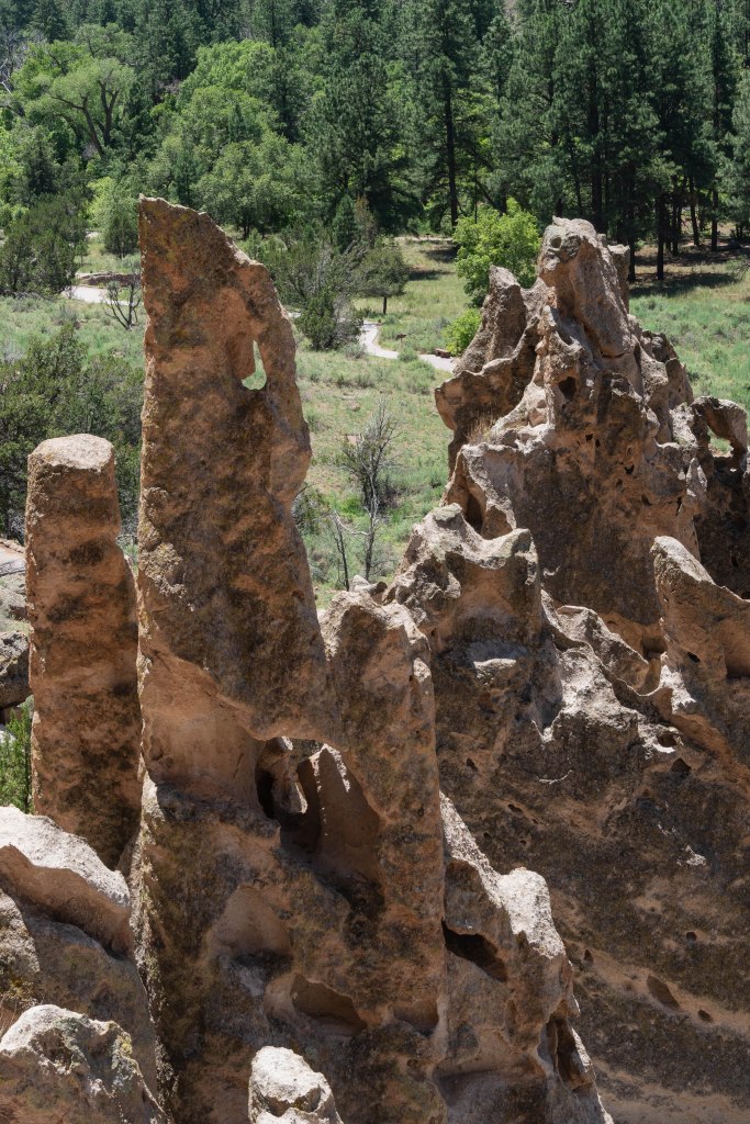
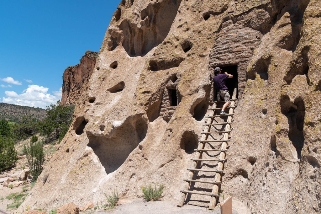
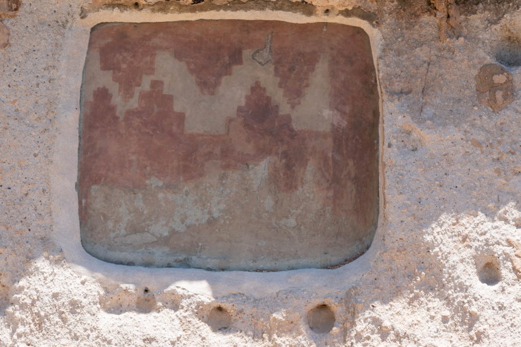
The cliffs are made of volcanic tuff. The inside walls of the dwellings would have been plastered, and the ceilings smoke-blackened to make the tuff less crumbly.

The people who lived here had a life expectancy of 35 years. The average women stood five feet tall and men averaged five feet six.
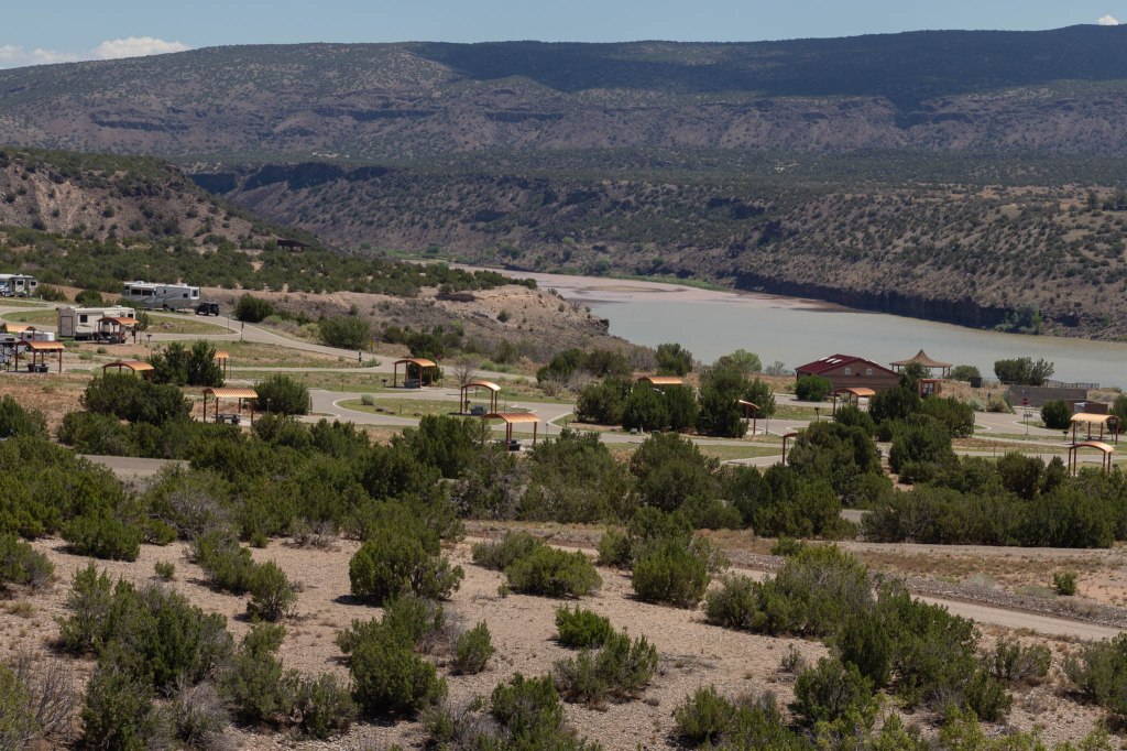
Cochiti Lake
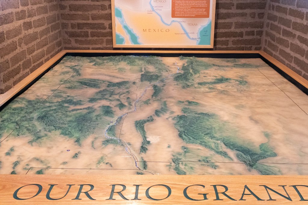
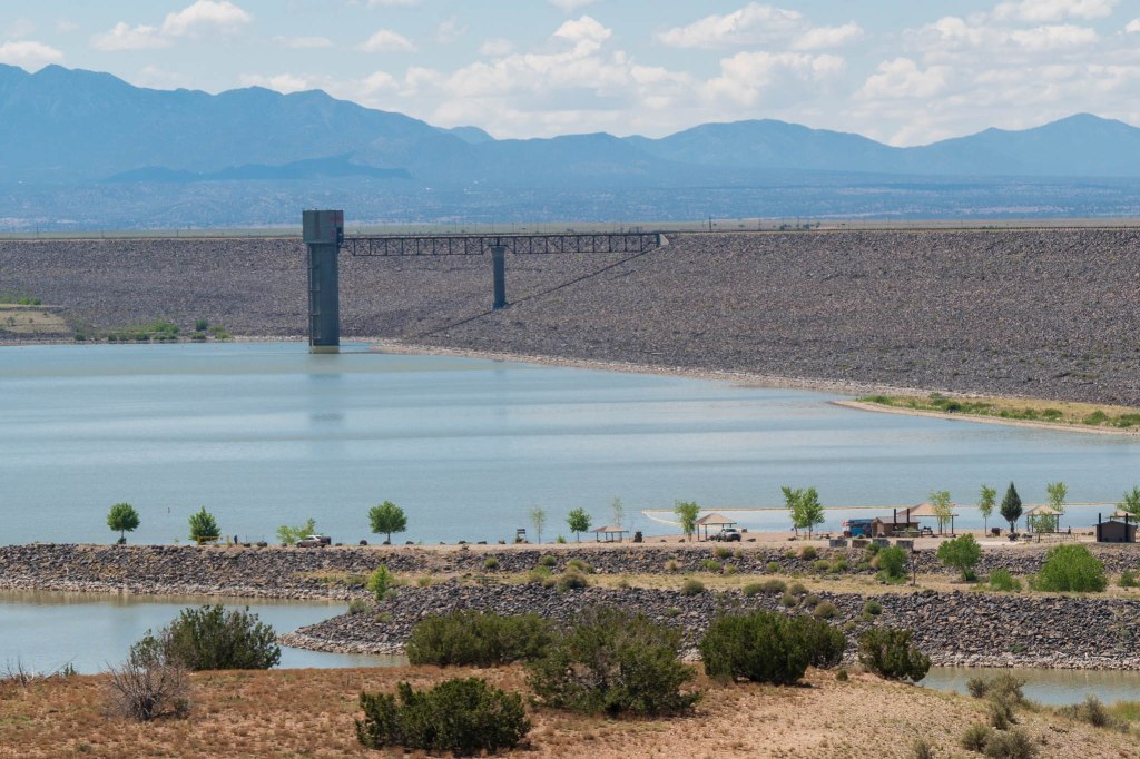
Within the boundaries of the Pueblo de Cochiti Nation on the Rio Grande, sits Cochiti Lake and Dam.
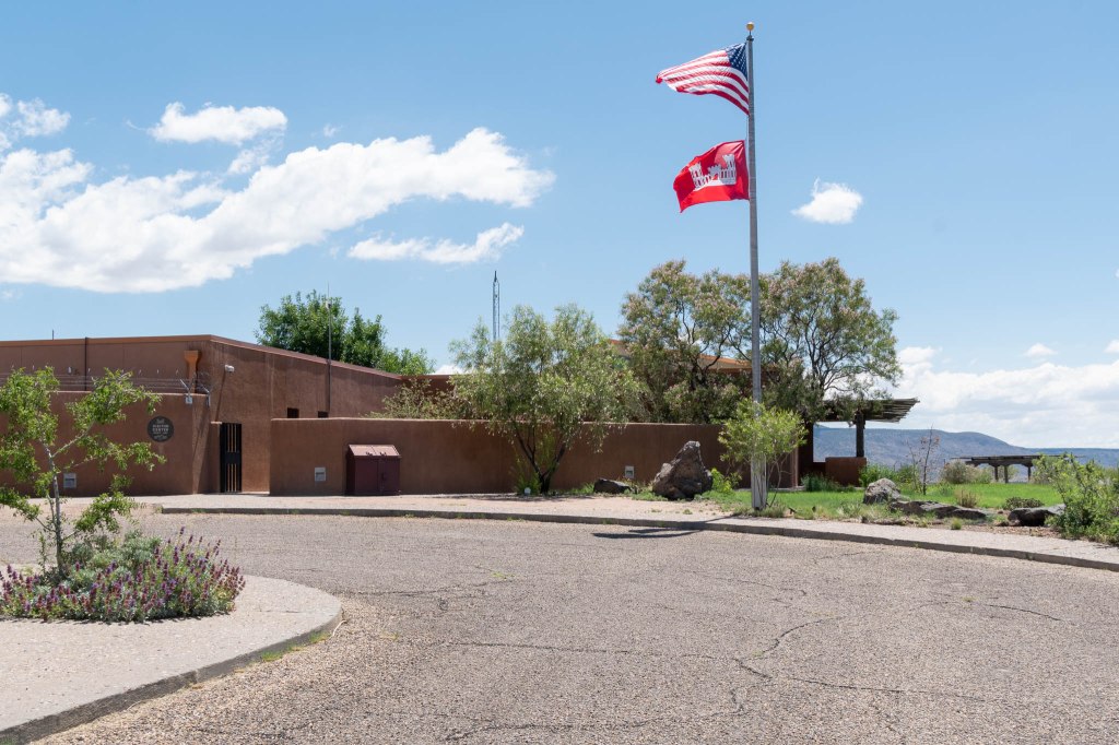
Inside the Army Corps of Engineers (ACOE) visitor center, we found displays detailing the dam and lake’s history along with their role in controlling flood and sediment along the Rio Grande System.
The earthen fill dam is 50 miles north of Albuquerque, the 23rd largest dam in the world, one of ten largest dams in the US and one of four United States Army Corp of Engineers projects for flood and sediment control on the Rio Grande System.
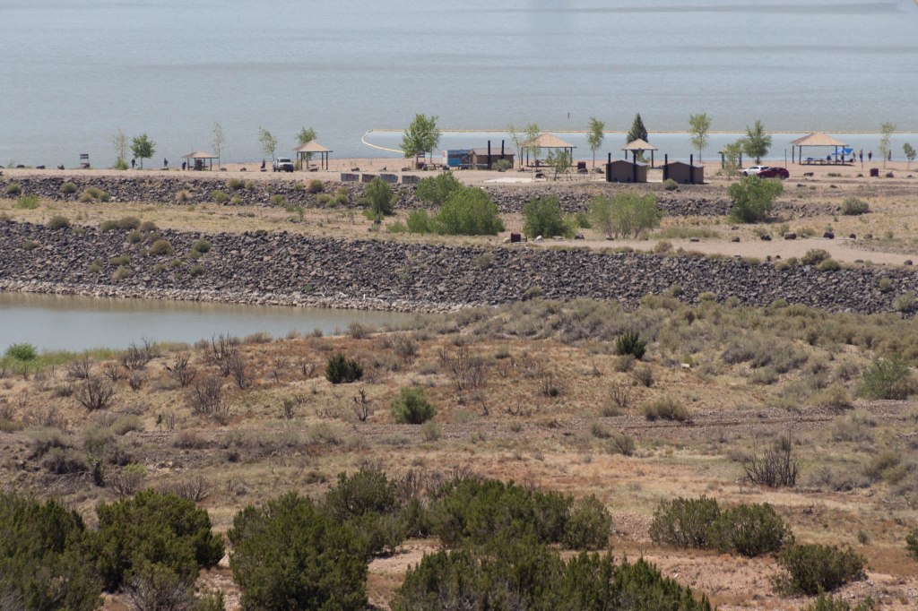
Outside is a loop trail with views of the lake and dam.
Controversy seems to pop up in places we visit, especially in locations involving tribal groups. Without going into too much detail, agreements were required between the government and the Cochiti Keres Pueblo, promises were made, promises were broken, and a sacred place was destroyed. Who’s heard this theme before?
Besides the destruction of a sacred place, the Cochiti Keres Pueblo lost significant tracts of agricultural land and had to fend off encroachment by a developer in order to protect their land and way of life. ACOE made a public apology to Cochiti Keres nearly twenty years later in 1994 for destroying a plot of land ACOE promised to protect, and the federal government paid to restore the agricultural land.
Overall management of the Cochiti Lake area now rests with both the Cochiti Keres Pueblo and ACOE under a 2008 agreement. I wonder how the situation would have turned out had the federal government invited the Nation to join them back in 1950. Sadly, we’ll never know.
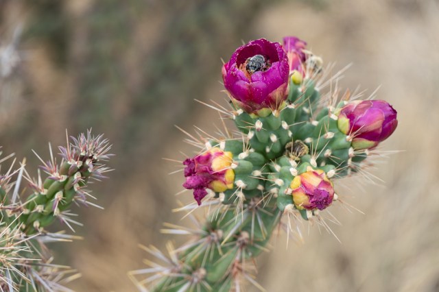
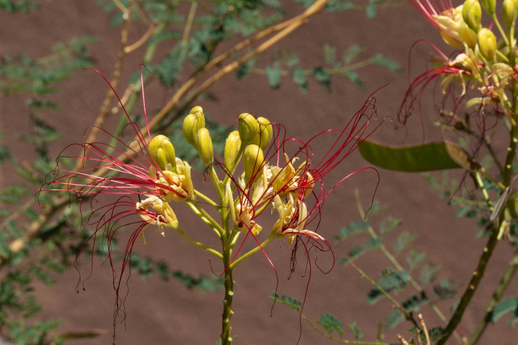
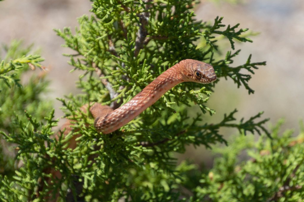
Besides the colorful rocks, shrubs and cactus, along the trail, hikers may even find a snake hanging out in a bush.
Next up: We wrap up our time in Santa Fe before packing up and heading north to Taos.
Safe Travels

What a fascinating area! I have been to Mesa Verde, but not to these areas. There is something sacred when visiting these areas – walking about and imaging life there so long ago. Thanks for bringing me along!
LikeLiked by 1 person
Mesa Verde is a special place too. We’re so lucky to be able to visit these communities from ancient times. Thanks go out to the people who recognized their significance and saved them from destruction.
LikeLiked by 1 person
I’ve been to Pecos and Bandelier – I thought both places were very interesting and enchanting! 🙂 These lovely photos brought back all kinds of fun travel memories.
LikeLiked by 1 person
I’m glad the photos triggered your memories. How fortunate are we to have seen them in person.
LikeLiked by 1 person