
Westside of Big Bend National Park
For more information about this section of the park, see the Big Bend National Park overview in Part Five.
As we enter the Santa Elena Canyon where the Rio Grande meanders through high cliffs, I wonder how such a calm flow of water had carved out the space between the blocks of rock that rise 1,500 feet overhead.
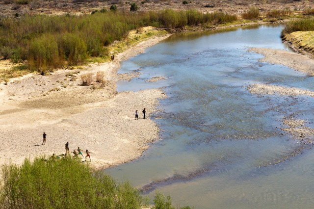
It is the sand and salt in the water that has filed away the limestone, cutting deeper and deeper over millions of years, leaving the ancient limestone formations exposed.

Of course, I’m sure thunderstorms and flash floods, which can occur any time beginning in May and running through September, sped up the carving process. Visitors should monitor weather forecasts during those months so they can avoid any danger. The water may look calm now, but I understand the weather can turn in a matter of minutes in Texas.
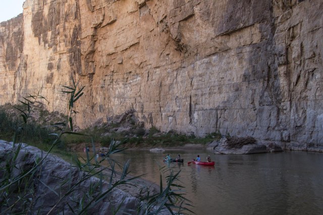
Sign up for a half day or multi-day rafting tour on the river with one of the several tour groups. I knew there was another reason we need to travel back to Big Bend.

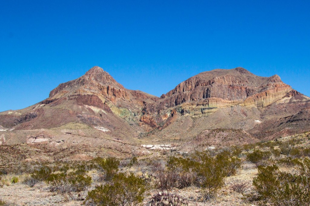
Cerro Castellan contains several layers of lava flows and volcanic tuff, or ash deposits, with layers of gravel and clay. The same lava flow that created Cerro Castellan also created the south rim of the Chisos Mountains.

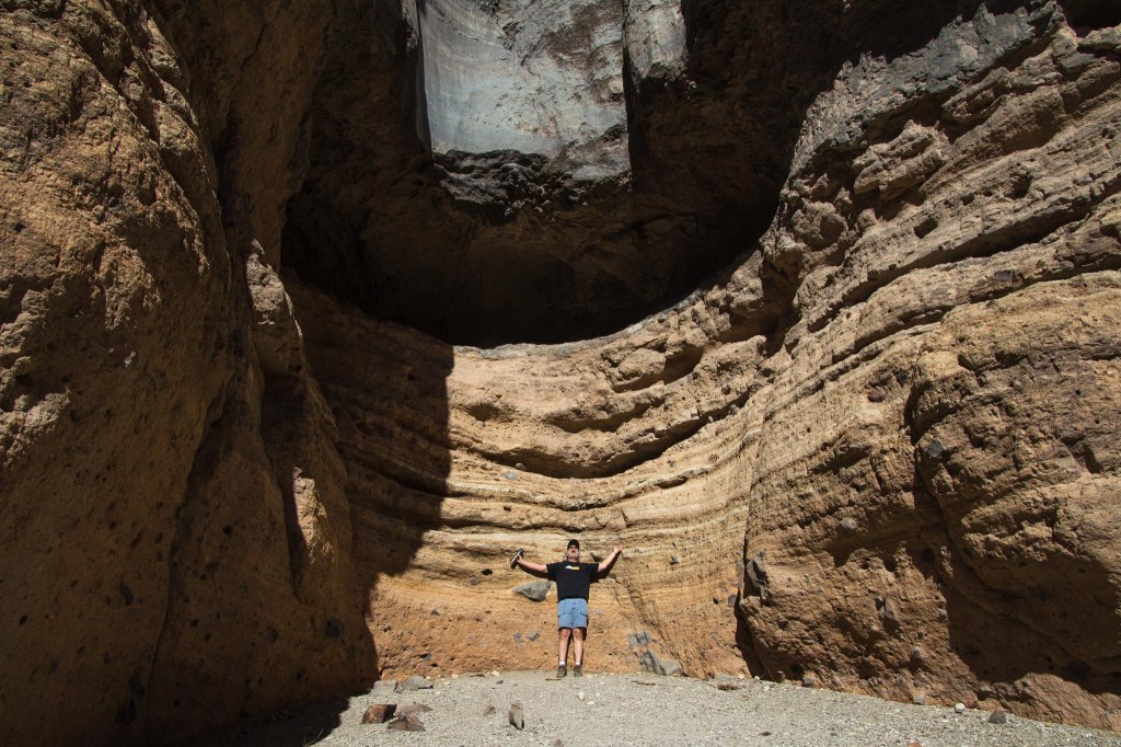
We had seen plenty of places throughout the park where white rock was piled up and couldn’t tell whether it was something natural or something built up from the mining operations.

We found our answer at Tuff Canyon when we read the information signs. The white stuff is tuff, which formed when a volcanic eruption forced ash through a vent and eventually consolidated into solid rock. The soft rock has been used since ancient times for construction. Some of the Moai statues on Easter Island are constructed from tuff. Visitors will find a couple trails that lead to overlooks of the canyon.

Mule Ears Peaks top out at 3,881 feet above sea level in the Chisos Mountains.


Goat Mountain is one of many volcanic domes formed during Big Ben’s ancient geological history. The top portion is composed of silica-rich lava, the band of yellow is pyroclastic flow deposits, and the bottom portion is older volcanic rock.
We stretched our legs on the Burro Mesa Pour-off Trail, which follows a dry wash full of flood debris, sand, and cobbles.
The hard lava that caps the mesa top prevented the torrents of water from carving out a stream here. Instead, the floodwaters from Javelina Wash rushed over the side, carving out the cliff.
The dark-rock Fins of Fire are called dikes and are found throughout the park for miles. They provide evidence of the molten rock that lies quiet under the desert surface. When they are all lined up in a row, they remind of spikes on a dinosaur back.

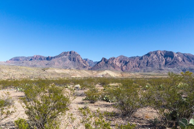
The Chisos Mountains were also formed through a series of volcanic activity that shaped the peaks.
Next week’s post will feature the Chisos Mountains and Basin. Until then, stay safe.

We must get to Big Bend when we winter in Texas. The geology alone is worth the trip I know.
LikeLiked by 2 people
Definitely. I hope you enjoy as much as I did.
LikeLiked by 2 people
Delightful photos! I am determined to visit from Canada some day when it is safe to do so.
LikeLiked by 2 people
Thank you. We’re dreaming of the day when we can get back on the road too.
LikeLiked by 1 person
Massive rock formations in impressive photos.
LikeLiked by 1 person
And the photos are only a snippet of what one can see in the park.
LikeLiked by 1 person