
We left the Texas Hill Country on March 14, 2018, the 45th day of our 2018 Winter Tour, headed west toward Silver City, New Mexico. With no reservations, our mantra for the day turned into, “Where oh where will we stop?”
Crossing West Texas
Windmills and oil derricks dotted the miles and miles of groomed cotton fields along Interstate 20. In the larger towns, like Midland and Odessa, energy-related businesses lined the highway with “Now Hiring” banners hung from their walls. Many of the roadside billboards also advertised for energy jobs, claiming their company was the best place for employees. Pickup trucks filled the parking lots we passed, not a Tesla, BMW, or Volkswagen in sight. We had never seen pop-up RV parks. Tucked in behind or beside commercial buildings trailers, fifth wheels, and motorhomes filled the spaces behind temporary fencing and lighting towers. Need a job? Head for West Texas and join the modern-day gold rush with your pickup truck and RV.
We continued on to Pecos, Texas, finding a spot at Tra-Park RV. Then we had another one-night stay at the Las Cruces KOA before arriving at the Silver City KOA in New Mexico for four nights. Visiting the Gila Cliff Dwellings National Monument was our goal during our stay.
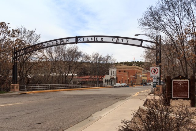
Silver City, New Mexico
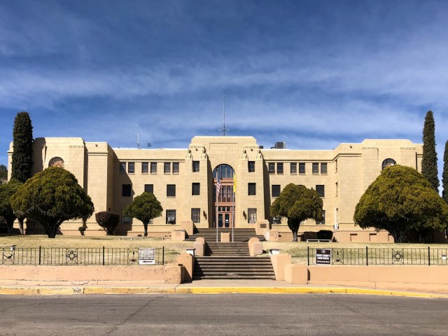
First, a little bit about Silver City that occupies land once used as an Apache campsite. Spaniards also mined copper nearby and archeological evidence indicates the Membres Mogollon Indians lived in the area between 200 and 1140-50 AD.
Founded in 1870 after prospectors discovered silver ore deposits at Chloride Flat, the city is now home to Western New Mexico University and two mining operations that generate approximately $73 million in wages.
One of the main features of the town is the Big Ditch. After twenty-five years of population growth, the loss of trees to construction and plant life to cattle grazing caused rainfall to rush through the downtown area destroying most of the businesses in its path during a major flood on July 21, 1895.
The solution was a ditch 55-feet lower than the original main street. Residents and visitors can enjoy the tree-lined walking paths at Big Ditch Park.
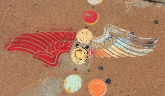
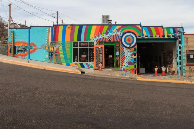
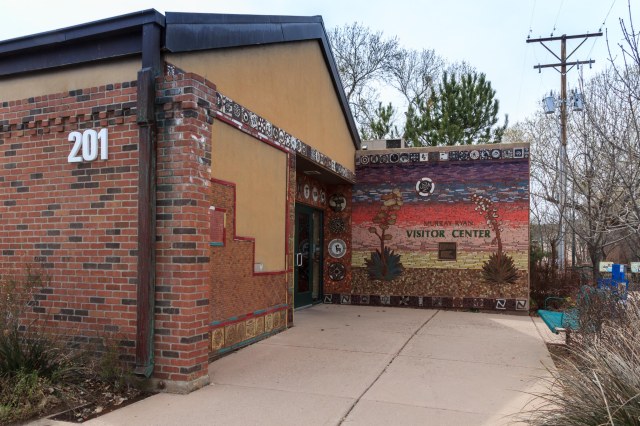
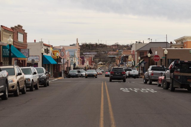
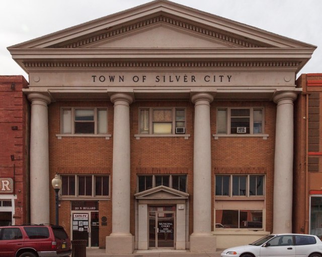
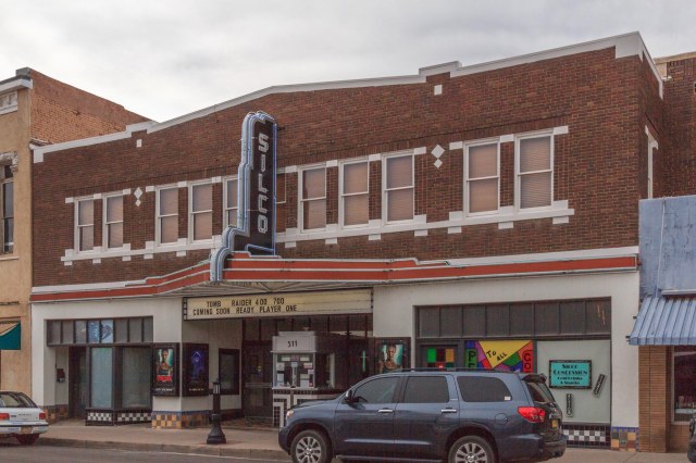
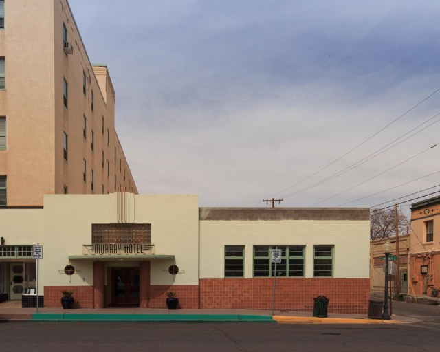
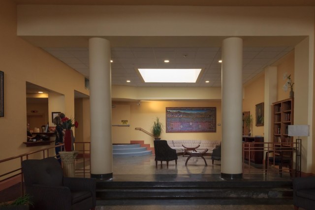
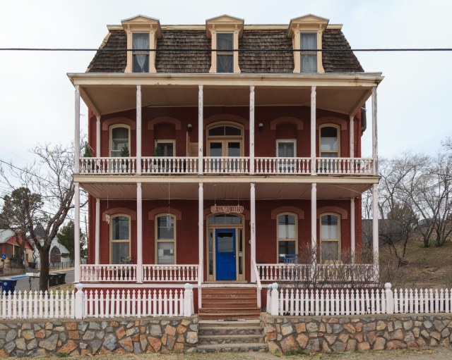
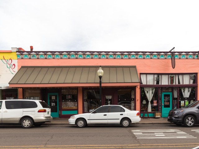
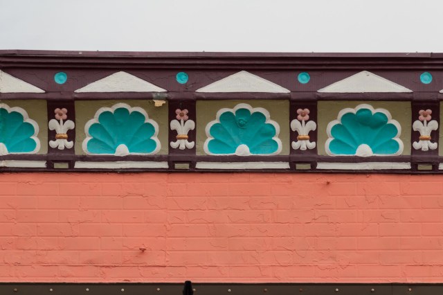
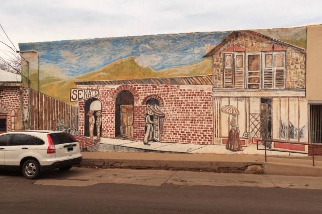
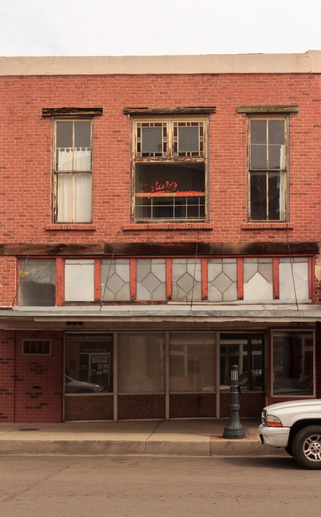
Silver City boasts a vibrant arts district in the downtown area with musicians and artists, newly renovated Silco Theater, and the Southwest Festival of the Written Word.
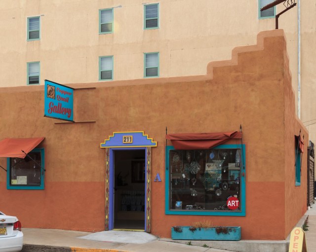
As usual, the historic buildings had me raising my camera to capture the colorful buildings, detail architecture, and murals.
We enjoyed wandering around the town of Silver City and wouldn’t mind visiting there again. The March weather was comfortable, the people friendly, and best of all it wasn’t very crowded. Although I’m sure at times during the year visitors flock to the area.
Gila Cliff Dwellings National Monument
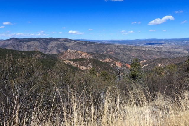
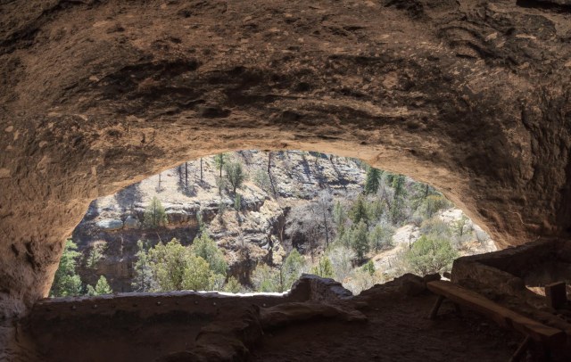
The Gila Cliff Dwellings National Monument is only 45 miles from Silver City, but it took us 2 hours. New Mexico Highway 15 (NM-15) twists and turns to the right and then to the left with hairpins that prevent driving more than 30 or 40 mph in many places. A long stretch of the road was narrow with no centerline and many blind curves making the way even slower. Be prepared for oncoming traffic. Some drivers cutting corners on those blind curves almost caused an accident. The road travels from desert to mountain pines increasing and decreasing in elevation until arriving at about 5,700 to 6,000 feet, the same elevation as where it began.
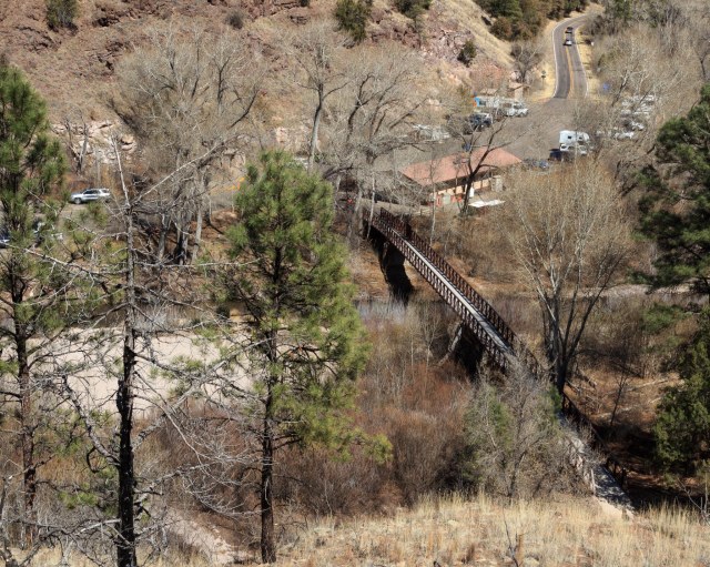
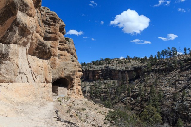
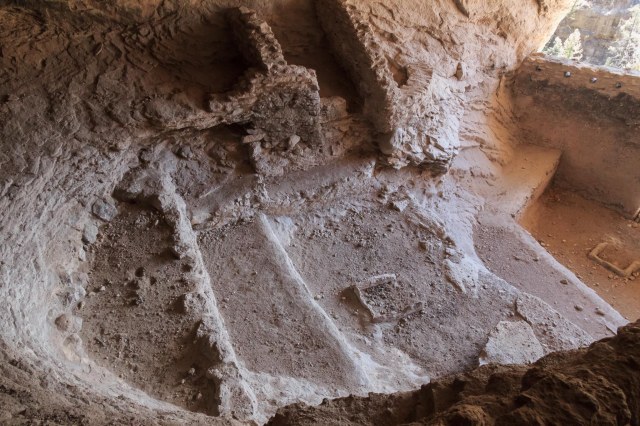
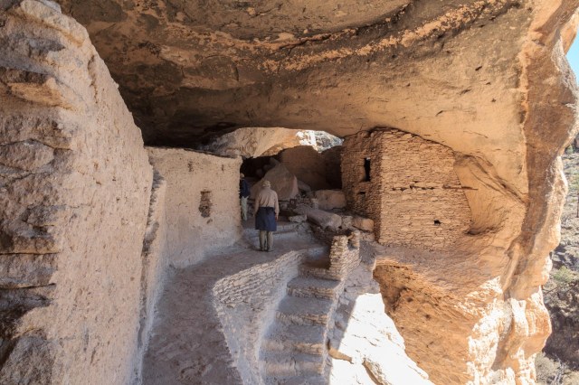
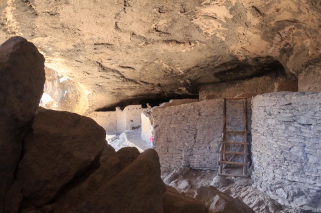
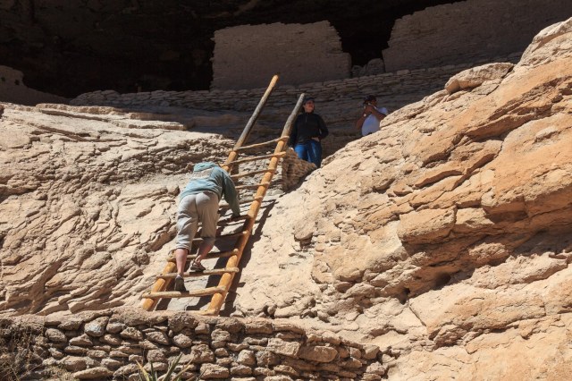
At the end of the road are a small visitor center, restrooms, and docents and rangers on hand to answer questions and direct visitors to the 1-mile loop trail to the dwellings. The well-maintained rustic trail skirted the Gila River and made me feel like I was walking in the footsteps of the people who built and lived in the dwellings.
At the first view of the dwellings, I wondered what it was like seeing home after a long day working in the fields. Images of pottery filled with water, grain, berries, and other foodstuffs and baskets holding blankets and clothing popped up. Also, fresh baked bread or tortillas and the aroma of vegetables and meat stewing over smoldering coals. I could almost see two little boys running up and down the path in a game of chase.

Through dendrochronology, (the study of tree ring growth patterns) archeologists dated the timbers used as headers in construction to the 1280s AD.
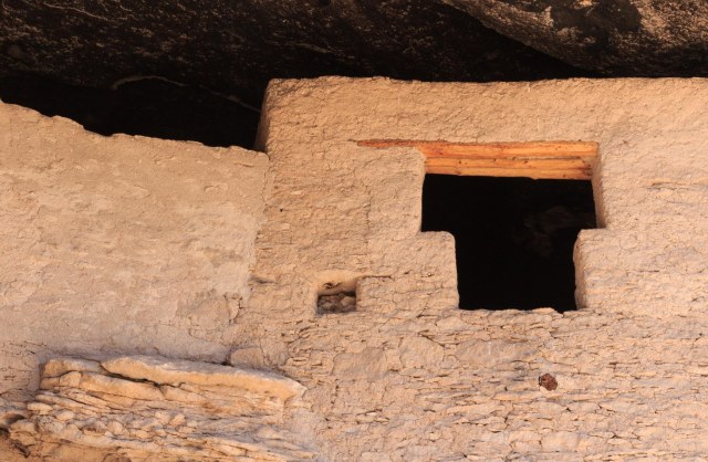
I felt honored to have the opportunity to climb up and roam around the dwellings where the Mogollon Indians lived so many millenniums ago. The docents inside explained the different rooms and the prevailing or differing opinions of how they were used, creating an impression of life in the village.
On our way back to Silver City, we took NM-35, then US-180 back to our RV site. This made our excursion a loop around the Gila National Forest allowing us to see more of the terrain. This route adds 23 miles to the odometer, but the road is less windy and wider with a centerline the whole way. Perfect conditions that reduce the risk of a motion sickness flare up.
I’m so glad we were able to finally make it to the Gila Cliff Dwellings National Monument. Now we are planning a trip to Colorado during the summer to see the cliff dwellings at Mesa Verde National Park.
Safe Travels

Another great post! This place is so interesting – have been through NM many times but think I missed this gem. Thanks for sharing your finds!
LikeLike
Jan, thank you for your comment. I’m so glad you enjoy the posts.
LikeLike