
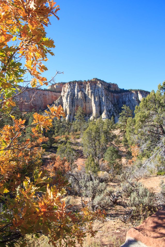
Day 13 of our fall tour, October 6, 2017, time to pack up, hook up, and move on down the road. Around lunchtime, we pulled into Hi-Road Campground, formerly Zion RV Campground, in Mt. Carmel, Utah, for a three-night stay. Trees dressed in yellow, gold, and orange, signaled fall’s arrival on the east side of Zion National Park, Utah’s First National Park.
Although Zion’s visitors’ center was only twenty miles from our site, it took at least an hour to make it to the canyon bottom by way of a twisty-turny road with slow speed limits, hairpin curves, and a delay to enter one of the tunnels.
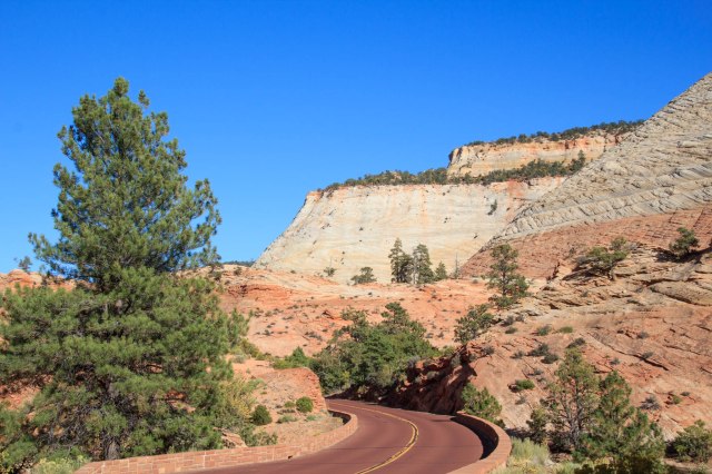
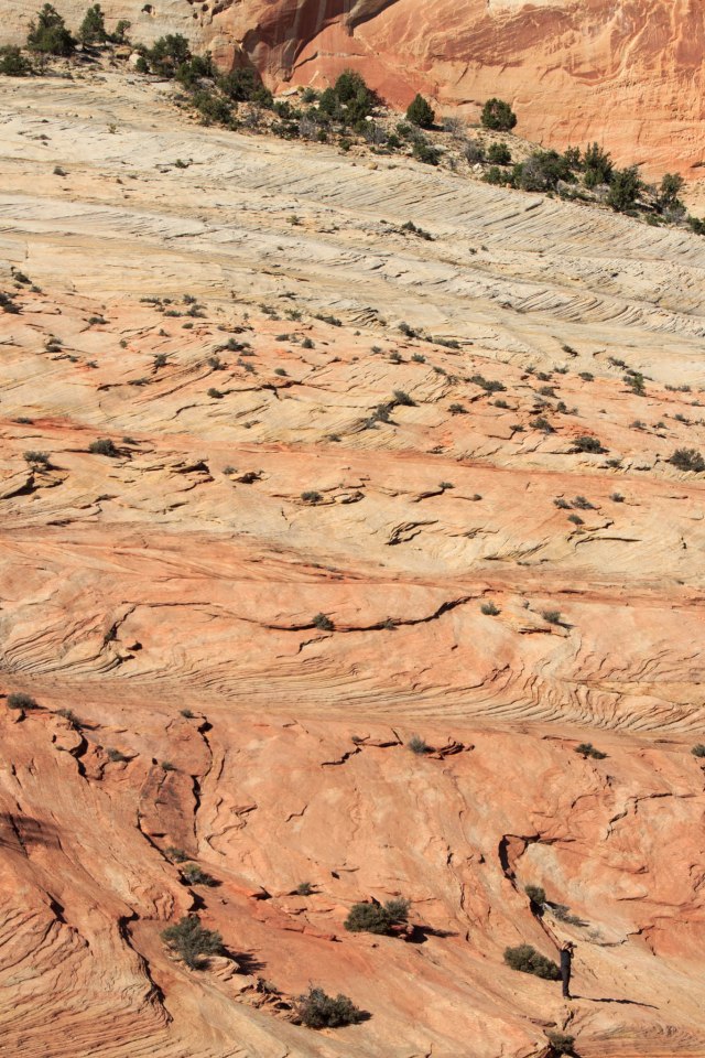
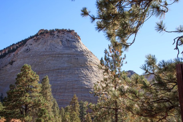
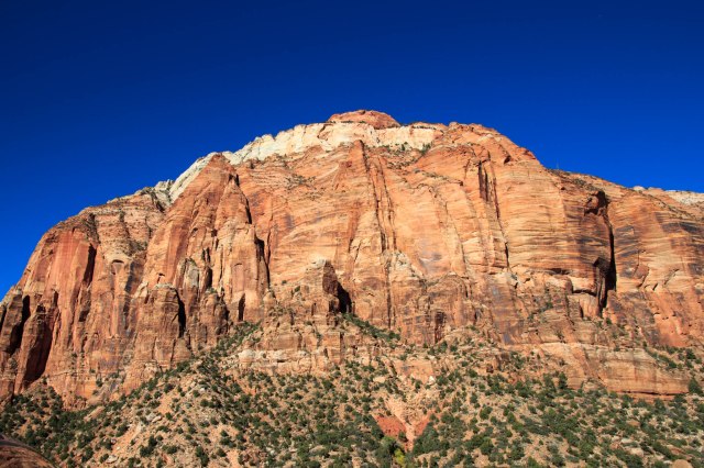
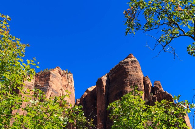
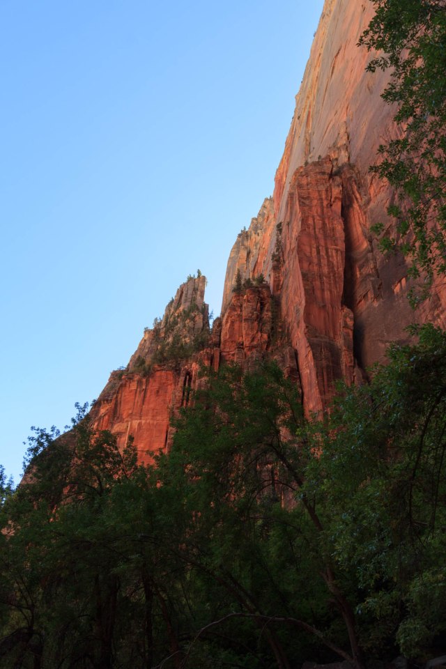
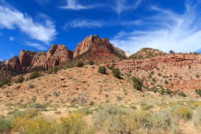
The scenery along the way was the silver lining, however, consisting of sandstone slickrock, Checkerboard Mesa, and cliffs that towered 2,000 feet from the valley floor.
We stopped in at the visitors’ center, picked up pamphlets and information, and then drove out of the west entrance and into the town of Springdale, which looked nothing like we remembered from twenty years ago when we last visited.Construction of the Zion-Mt. Carmel Highway and one-mile tunnel, which took two years and ten months to complete, was dedicated and opened on July 3, 1930. The highway was the last link in the Grand Circle Tour of Zion, Bryce, and Grand Canyon National Parks.
The construction crew blasted gallery windows into the cliff face above Pine Creek Canyon to gain access to the interior of the mountain so the crew could carve out space to create the tunnel. The windows were also used to remove the rock debris and supplied ventilation and lighting. In 1937, the entire tunnel was lined with concrete.
One-way traffic control is required for large vehicles traveling through the tunnel. The park charges $15.00 for a permit in addition to the park entrance fee for vehicles 7 feet 10 inches in width and/or 11 feet 4 inches in height, or larger.
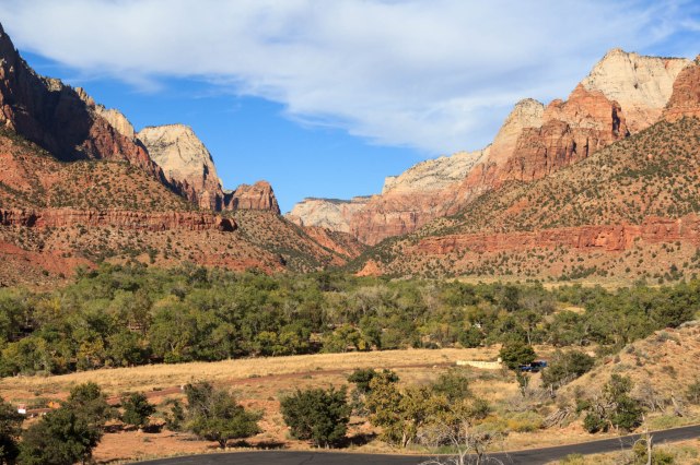
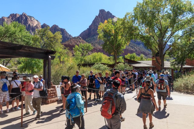
We remembered driving our truck to all the sights along Zion Canyon Scenic Drive in the 1990s. Now a shuttle is the only way to get around unless you’re staying at Zion Lodge. During peak hours the shuttles fill up with standing room only, so it is wise to arrive at the visitors’ center before 9:00 am, even in the offseason. There is also parking in Springdale, but when we drove through, everything looked pretty parked up.
The next day, we rode the shuttle to Zion Lodge in search of a cup of coffee only to find a long line. “How about the dining room?” We arrived about a half hour before the buffet ended and noted only a few people seated at tables. “This shouldn’t take too long.” We decided to go ahead and order breakfast with our coffee since we planned on taking a hike. We waited for our food as we sipped our steaming cups of coffee. Then we waited, and waited, and waited some more. Oh well, we had a nice view of a park-like grassy area with large trees. When our eggs benedict arrived my eggs were overcooked and Jon’s were undercooked. The long wait and the mix of cook on our eggs must have been a sign that the concessionaire reduced the employee headcount after the peak season.
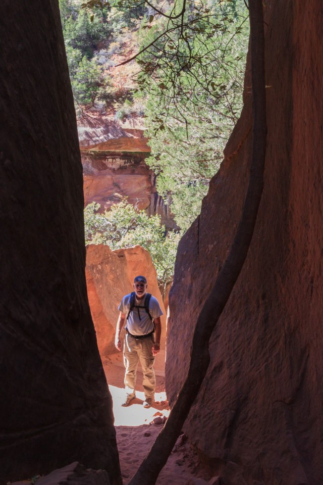
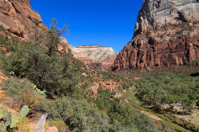
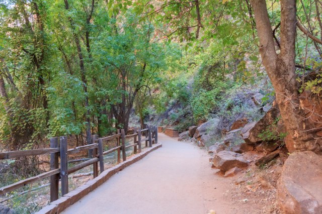
With our bellies full, we walked across the road to the trailheads for the Lower and Upper Emerald Pools. Most of the trails were easy going except for the large boulders we had to navigate and the slippery rocks near the Upper Pools.

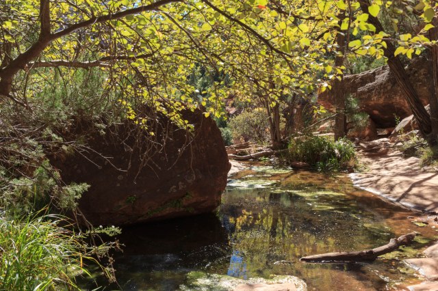

We connected with the Kayenta Trail, which took us along the river toward the Grotto where picnic tables huddled under large trees and restrooms were a welcome sight.

Then we continued on to the lodge where we picked up the shuttle for the ride to the Zion Human History Museum. We sat on the back patio eating our lunch of tuna sandwiches and apples and enjoyed the views while we waited to listen to the geological ranger talk.

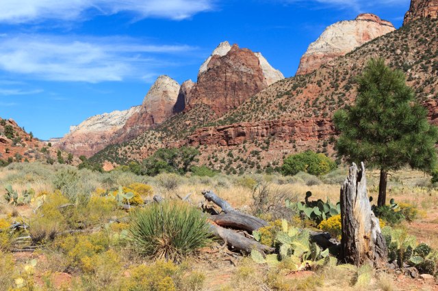
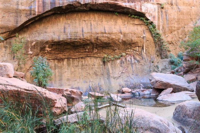
Zion is part of the Colorado Plateau and the second step of the Grand Staircase with geological layers at the top of Zion consisting of the layers we saw at the bottom of Bryce: Carmel Formation, Navajo Sandstone, Kayenta Formation, and Kaibab Formations. It was interesting to learn that rain flows through the porous Navajo sandstone until it reaches the Kaibab Formation of limestone and siltstone, which is not porous and blocks the water so that it seeps through the sides of the cliffs. This sounded similar to how water seeps through the basalt in Idaho to find its way to the Snake River.
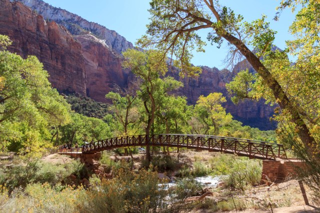
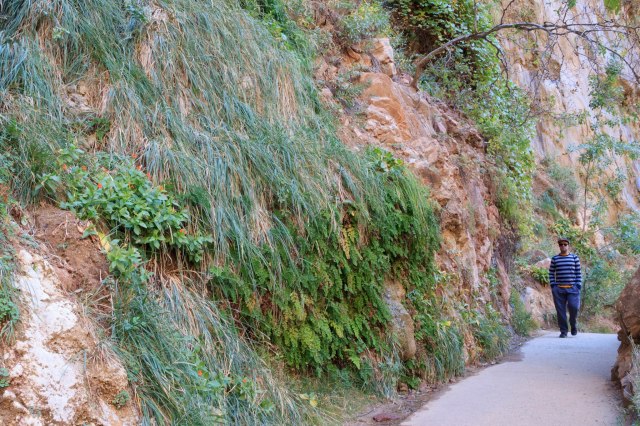
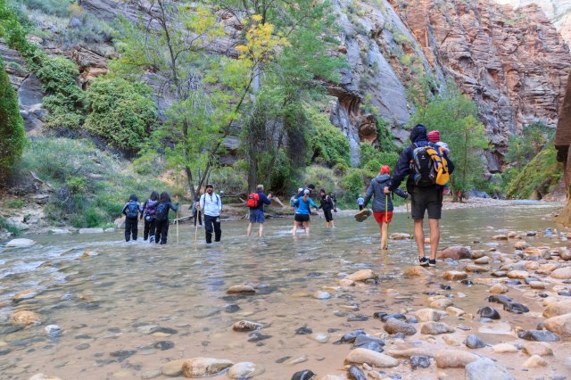
On Sunday, we woke up early again and rode the shuttle to the Temple of Sinawava to take the Riverside Walk. It didn’t look anything like what I remembered from when we were there before. Perhaps this was because of flash floods that had occurred during that time.
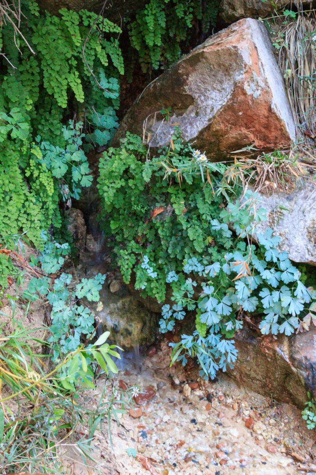
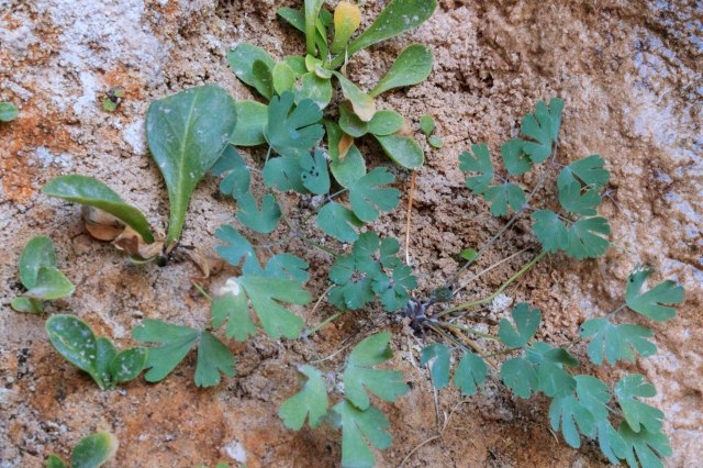
Ferns and other plant life clung to the red cliffs and trees grew near the river. We watched people prepare for the walk across the icy water. Some of them wore rented water tennis shoes and long pants that swished with each step. Other people only wore shorts, t-shirts, and normal walking shoes. I remembered years ago when we crossed the river in water socks on a sunny day with our children in tow. Bundled up in jackets, Jon and I weren’t about to venture into the rush of water this time.
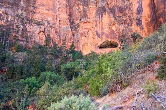
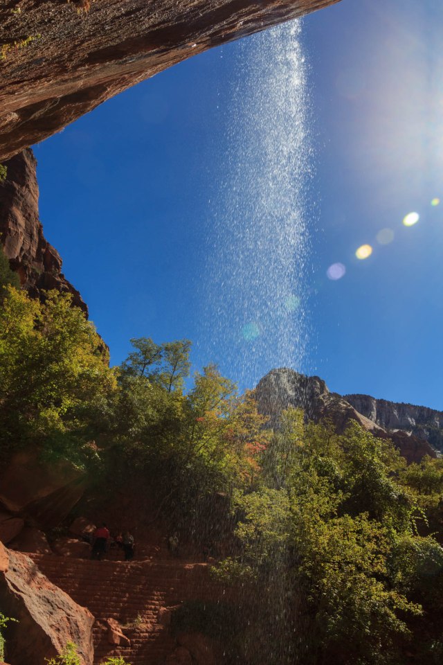
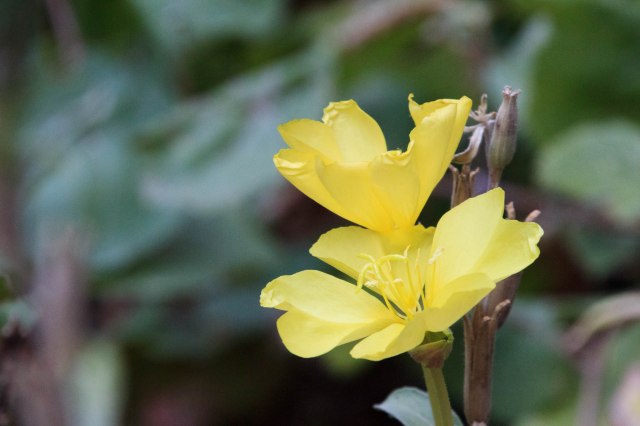
Our next stop was Weeping Rock. This was a short steep hike with lots of trees, shrubs, ferns and a few remaining wildflowers. Water oozed from the overhang and gently dripped like rain on us.

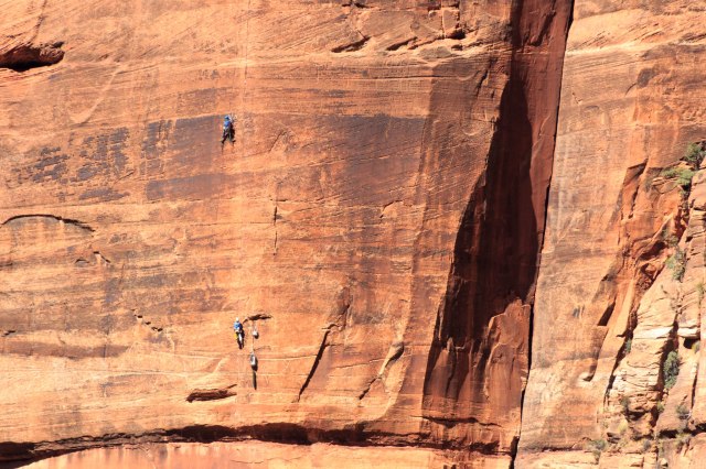
These climbers came into view while we waited for the shuttle at Weeping Rock.
We thought we had been transported to Disneyland when we returned to the visitors’ center. Crammed under a shade structure, the line for the shuttle snaked back and forth through ropes and continued around the buildings toward the parking lot.
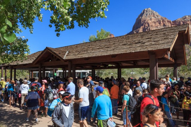
We were glad we were on our way out of the park rather than arriving.
If we make it back to Zion, we will plan ahead and find a spot for our trailer on the west side of the park to avoid driving the hour on the Zion-Mt. Carmel Highway each day. The prospect of catching the shuttle in Springdale would also be a benefit.
The next day we headed south with no reservations, taking our chances that somewhere an RV site with our name on it would appear. Stay tuned to see where we hung our hats.
