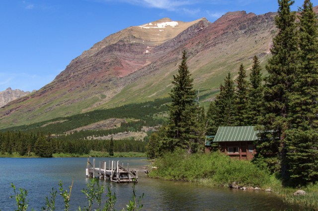
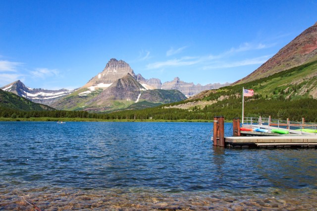
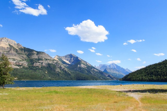
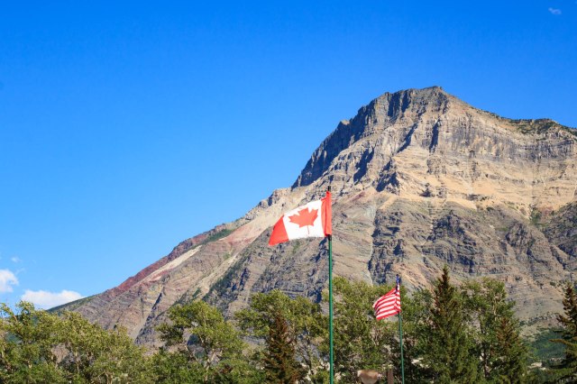
Waterton Lakes National Park in Alberta, Canada, was our next destination on July 13, 2017. We made Crooked Creek Campground our home away from home for a short two-night stay. Fortunately, we arrived around noon, which gave us plenty of time to drive into the park and have a look around.
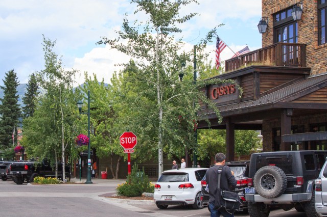
Waterton Village
Waterton Lakes borders Montana’s Glacier National Park and is part of the Waterton-Glacier International Peace Park created in 1932 and designated as a UNESCO World Heritage Site in 1995.
The Prince of Wales Hotel, a National Historic Site, is a nice little chateau-style inn that serves afternoon tea from 1:00 p.m. to 5:00 p.m. each day complete with a three-tier curate stand filled with little sandwiches and other delectable items. We weren’t ready for a meal so we bought Frappuccino’s instead.

Waterton Village is a typical resort area with restaurants and gift shops. We drove through the Townsite Campground, which looked like a great place to stay with extra wide spots that included full hookup, electric and water only, or tent camping. Some sites will accommodate both an RV and a tent, which is rare in most campgrounds. Ninety percent of the sites are reserved six months in advance. Only ten percent are available on a first-come-first-served basis.

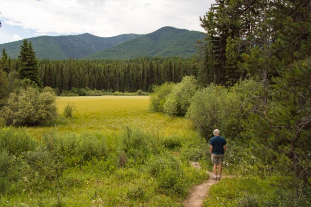
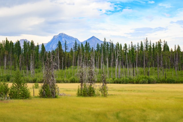
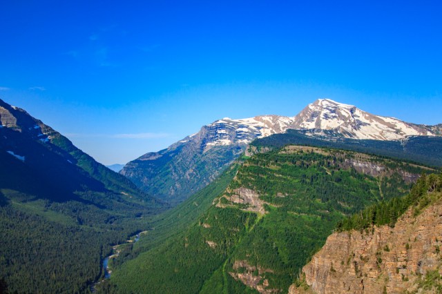
Cameron Lake
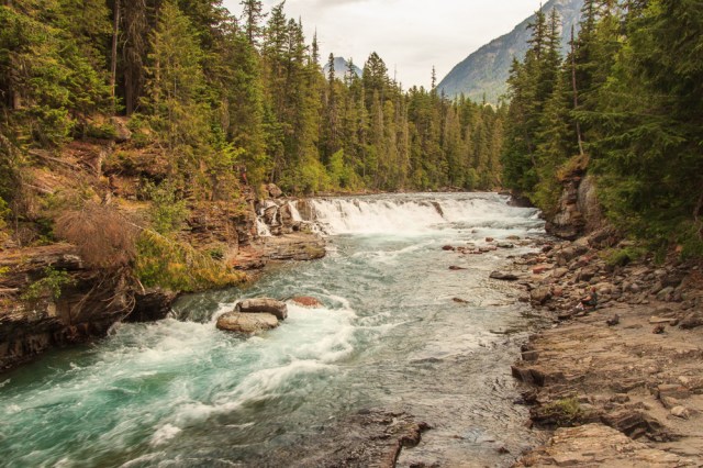
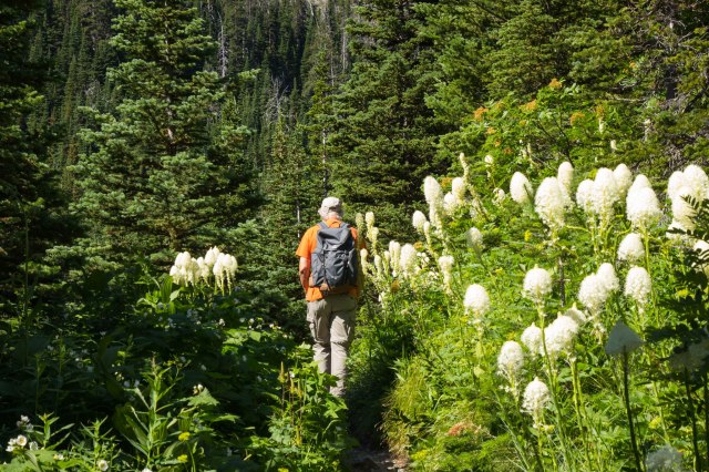
The next day, we drove to Cameron Lake. The drive took us through twisting turns, each with breathtaking views of the mountain peaks, forested areas, and an abundance of wildflowers. Several times on the drive we asked, “Is this the right way? Did we miss our turnoff?” The Akamina Parkway map didn’t seem to correspond to the route we traveled and took longer than I had expected.
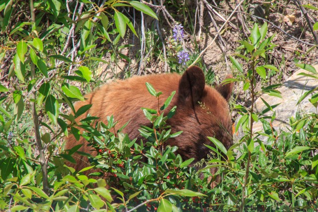
Along the way, we encountered the roadkill clean-up crew. The bear stood at the side of the road for a few seconds before he ambled over, snatched the dead rabbit between his teeth, and disappeared into the forest.

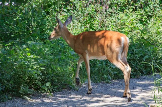
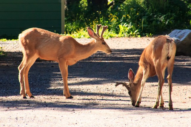
A few miles later, we came across a few deer munching on something in a parking lot. It must be a popular place because they were there when we drove in the other direction several hours later.
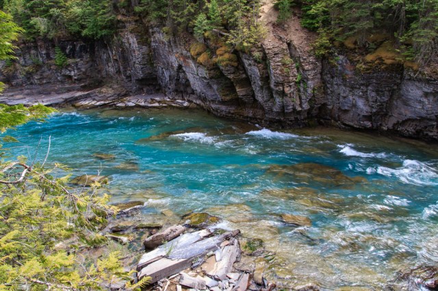
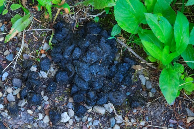
When we arrived at Cameron Lake, only a few cars were in the parking lot, and the rental store had not yet opened. We saturated ourselves with a generous spray of Off to prevent the flying insects that hovered around us from flying into our eyes or opened mouths. We walked along the short lakeshore trail that skirted the west side of the lake. A sign that warned us this is bear country made us a bit leery as we trekked down the trail and stepped over what looked like bear scat. Onward we pressed as we made our presence known. Thankfully, no bears lumbered through the brush to ruin our day.


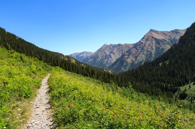
Rowe Creek Lakes Trail
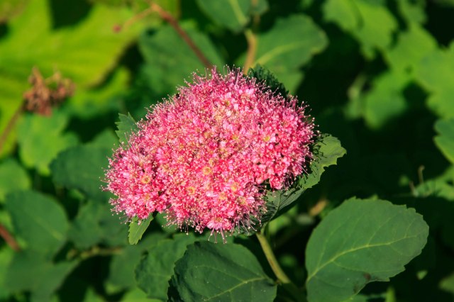
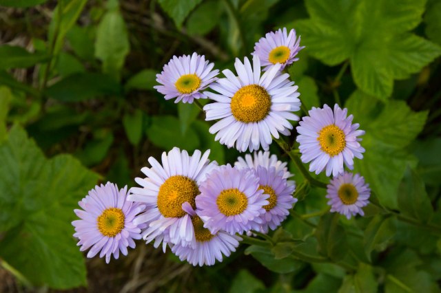
The 3.9 km (2.4 miles) hike looked doable except we didn’t realize it would be all up hill. We loved walking through the yellow, white, pink, and blue wildflowers.
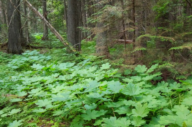
I was glad I had worn long pants and long sleeves. There were several places where we snaked our way through thick vegetation that reached five to six feet.
We stopped for a snack at Lower Lake and had to fend off aggressive squirrels that, if given the chance, would have scampered onto our laps to steal our cashews and dried fruit.

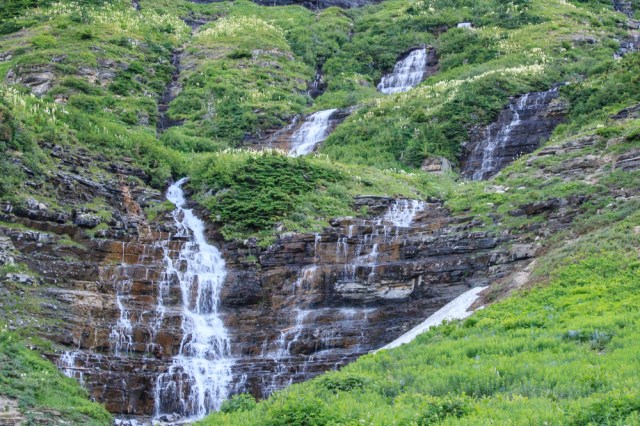
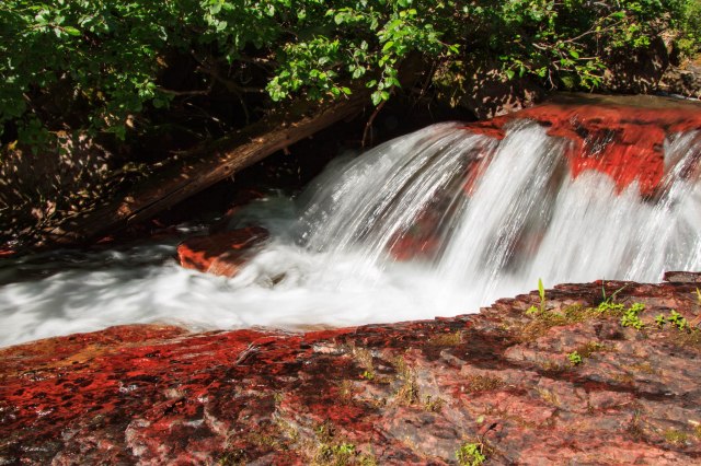
Red Rock Canyon
Our last stop of the day was Red Rock Canyon where visitors climbed the rock walls, cooled their feet in the icy creek, and walked the trails on either side. The argillite rock walls contain about 3% oxidized iron, which gives them the rich red color. Although there are erosion and danger signs about climbing on the rock walls, people either did not read the signs, or they choose to ignore them.

Our short visit to Waterton National Park piqued our interest for another visit someday, perhaps combined with Jasper and Banff. We called a few places for reservations, but none were available. July isn’t a good month to find RV space without reservations, so we headed west to catch a glimpse of more Canadian scenery before dropping back into the U.S.
Frank Slide
When we left Waterton, we took Highway 6 north and then highway 3 west through Crowsnest Pass. About an hour into the drive, Frank Slide loomed in the distance. At 4:10 a.m. on April 29, 1903, 90 million tons of limestone rock broke away from Turtle Mountain. Within 90 seconds, large boulders had buried the eastern edge of Frank, a mining town, the Canadian Pacific Railway line, and a coal mine.
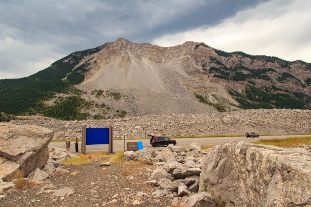
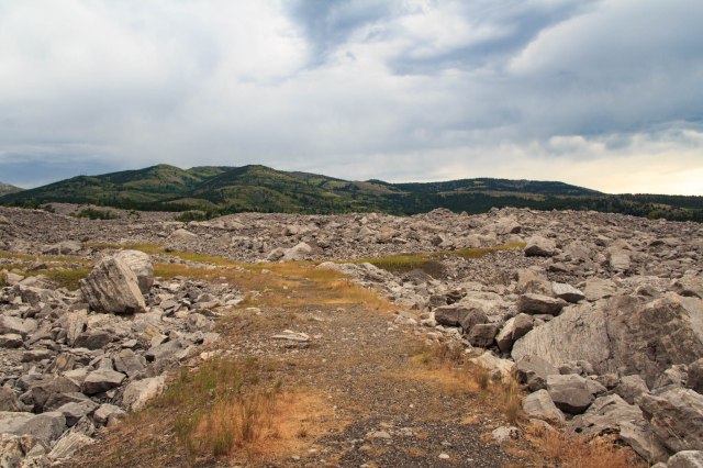
It was hard to comprehend the slide’s power as I looked up at the bare space on the side of the mountain, the boulders on either side of the highway, behind me, and beyond. I could almost hear the deafening rumble and feel the earth shake as boulders crashed into cottages, crushed business buildings, covered a cemetery, and stretched for 1.2 miles across a road and railroad tracks. Approximately, 70 to 90 people perished in the slide and many of them are still buried under the boulders. The exact number could not be determined because no one knew how many transients may have been in town or whether people who had said they were leaving town had actually left. The cloudy, misty weather enhanced the somber feeling that came over me when I thought of the people who had died, and the survivors whose lives were changed forever.
Next up: Coulee Dam, Hanford project, and a guided tour of a decommissioned B-Reactor