2024 Northwest Adventure Episode 9: Tillamook Creamery and Meares Cove Lightouse

Our next stop on our way home was Tillamook Bay City RV Park on July 18, 2024. On WA-105 and US-101, we drove through a canyon of trees so thick I caught only a glimpse here and there of what looked like homes or commercial buildings amid the dense forest. Near the ocean, sloughs snaked their way through the wetlands. And folks tried their luck clamming in the muddy low-tide beach areas.

We pulled off the highway and found a long stretch to parallel park the rig in Seaside, Oregon. After a mile and a half walk, Dooger’s Seafood and Grill satisfied our hunger for lunch. It was too bad we had reservations farther south because I wanted to explore the town and area more.

We don’t know whether Apple Maps rerouted us inland onto Miami Foley Road for a reason, or if we made a wrong turn. It didn’t matter. Instead of sitting in traffic on US-101, we enjoyed driving through the narrow valley. Purple, yellow, white, and red wildflowers decorated the side of the road, and the green expanse of farmland acres created an idyllic landscape. The view sure beat looking at car bumpers on the highway.

We reserved the next day for exploring. On our list were the Tillamook Creamery and the Meares Cove Lighthouse.

Tillamook Creamery

In 2014, during a previous trip to the Pacific Northwest, if it hadn’t been pouring rain, we would have stopped to visit the creamery. Then, it seemed the visitor center sat farther back from US-101. We weren’t wrong. The new visitor center opened in June 2018.

For the convenience of visitors, the center is open daily from 10 am to 7 pm. Inside, visitors can take a self-guided tour or opt for a premium experience (reservations recommended). We took the self-guided tour, which took us on a journey through the cheese-making process.
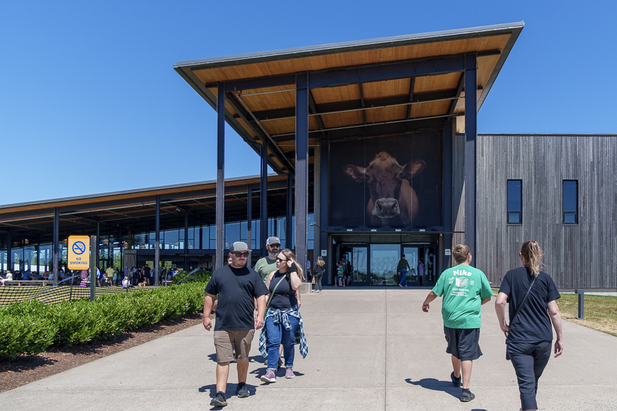
Tillamook Creamery Visitor Center

Upstairs in the Farm exhibit, we learned about the care and feeding of the cows throughout their lives. A factory viewing deck allowed us to watch the cheese production in process from a catwalk level. Diagrams and descriptions on posters gave explanations of what we saw. On the other side of the deck, we watched cheese move on conveyor belts and racks from one step to another. Human factory workers performed a quality check to verify the loaves were the correct size and weight. The workers even shaved off bits of cheese, if needed, before the cheese moved to the wrapping machine.

We would have bought lunch at one of the food counters and an ice cream for dessert had it not been so crowded and taken so long to get through the lines. Instead, we wandered through the gift shop and ended up waiting a few minutes for photos with the Yum Bus, where the crowds had thinned.

Delivering the goods

Meares Cove Lighthouse

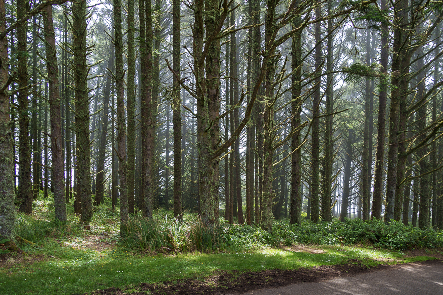
A beautiful drive along a cove and through a forest led us to the Meares Cove Lighthouse parking lot. The forest of trees wept droplets of water on us as we walked toward the lighthouse. The trees were still drying out from the heavy morning fog that hugs the coast most days. It reminded me of walking through the Hoh Rainforest in Olympic National Park.

Path to the lighthouse

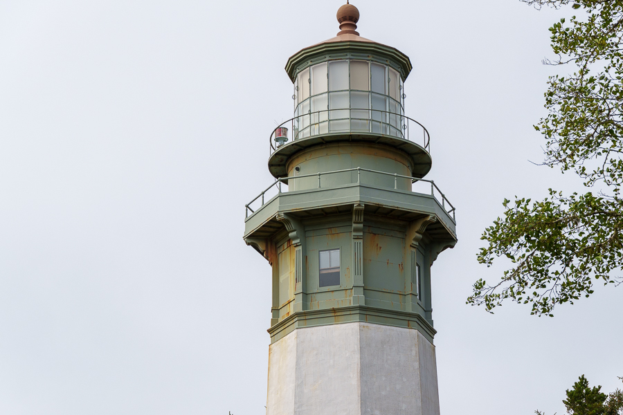
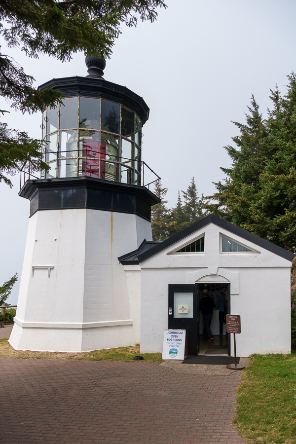
Meares Cove Lighthouse is the shortest lighthouse along the Oregon coast. It stands only 38 feet tall atop a basalt outcropping 200 feet above the Pacific Ocean. Captain John Meares, a northwest explorer who commanded the sloop North West America in the 1780s, named the area Cape Lookout. A mistake made on maritime maps in 1857 identified another location as Cape Lookout. This caused the name change to Cape Meares, since it was easier to change the name than reprint the maps.

During the 1840s and 1850s, prospectors from the goldfields and pioneers who crossed the Coast Range settled in the area for its rich soil. In 1886, the need for a lighthouse became clear, so the Lighthouse Board requested $60,000 for construction. By the end of 1889, the lighthouse, other supporting structures, and living quarters were complete, and on January 1, 1890, the light was lit for the first time.
Two Kohler generators supplied electricity in 1934. On April 1, 1963, a DCB aero beacon, mounted atop a concrete structure, replaced the lighthouse. Concerned citizens pleaded with the Coast Guard not to dismantle the lighthouse a few months later. On April 6, 1964, the Coast Guard agreed to lease the property to Tillamook County.

As often happens with historical buildings, the lighthouse fell victim to neglect and deterioration at the hands of weather and vandalism. Hippies lived in the dwellings and made a mess, and someone, or a group of someones, stole four bull’s-eye lenses from the first-order Fresnel.
Years later, a drug raid recovered one lens. Then, a magazine published an article in 1986 that pleaded for the recovery of the other three. It took 20 years for all four lenses to be reunited.
In 1968, Oregon State Parks Department took over the lease from the county. In 1978, the state built a replacement workroom and had the tower scraped and repainted, and on Memorial Day 1980 the lighthouse opened to visitors.

Inside the lighthouse, a docent took us up the steps to see where the light fixture sits. He told a story of a pair of men in their early twenties who tore up the grassy area around the lighthouse with their vehicle in 2010. They also shot several rounds of ammo into the structure. Their bullets destroyed numerous prisms that made up the antique first-order Fresnel lens. Overall, the damage amounted to $500,000. The Fresnel lenses contain over one thousand prisms and round bull’s-eye lenses that bend the light to produce a powerful beam. They can weigh over two tons.
The judge could have sentenced the young men to seven years in prison for the offence. Instead, he sentenced them to three 16-day stints in jail to be served each year at Christmastime, plus $100,000 restitution. I hope they learned from their mistakes and became more productive citizens as they grew older.
Fifteen years later, their names and details of their crimes still pop up in a Google search. In case guilt and shame fill them with dread, I’ll not repeat their names here. Of course, it’s possible they may still laugh about what they did over a cold glass of beer.

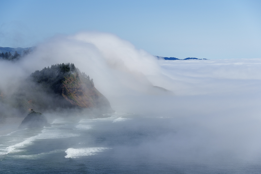
Out on the overlook, I had fun with fog. The formation of the white cottony water droplets suspended in air pushed its way ashore and up the face of hills seemed to mimic the wave action below.

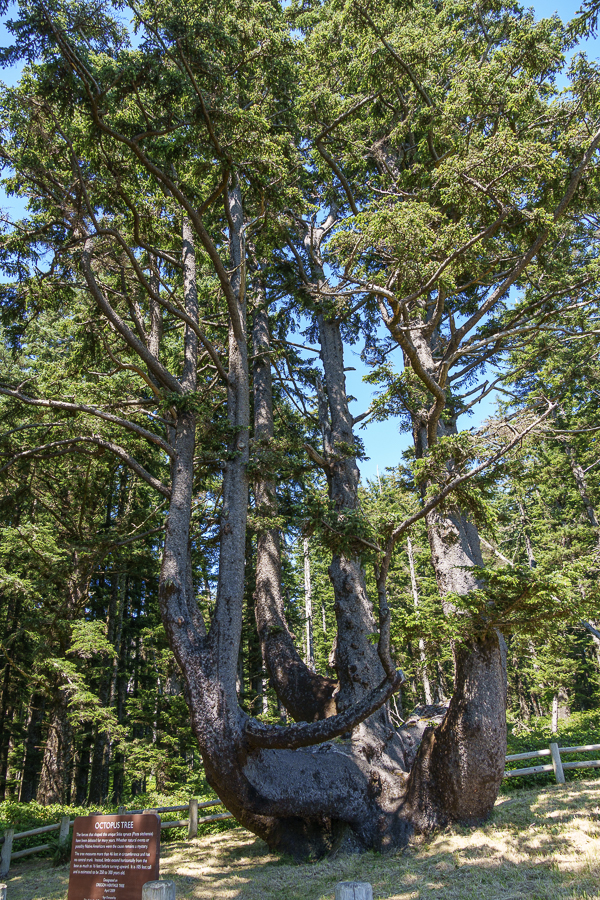
The docents recommended we take the short walk from the lighthouse to the 250- to 300-year-old Octopus Tree. Curious, we headed that way to see the attraction.

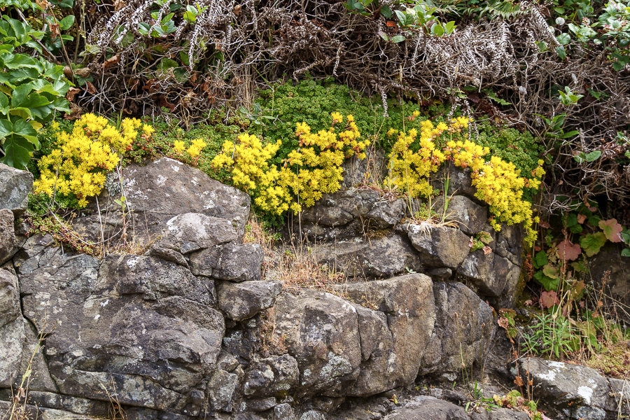
Colorful blossoms seen along the trail to Octopus Tree

The Sitka spruce tree developed a solid base that has grown to 14-15 feet across. The lack of a central trunk and the cluster of trunks around the perimeter create a curiosity to ponder.

Was the tree’s growth natural? Or, was it trained like a bonsai into its formation by Native Americans? Did they bury their dead in canoes built in the tree? No one seems to know for sure, so for now it remains a mystery.

,
The lighthouse is part of the Cape Meares State Scenic Viewpoint and is surrounded by the Cape Meares National Wildlife Refuge and operated by The Friends of Cape Meares Lighthouse and Wildlife Refuge, Inc a 501 © 3 nonprofit organization.

Next Up: Another lighthouse and sand dunes.

Safe Travels.
2024 Northwest Adventure Episode 8: Homeward Bound

Our first stop on the route toward home was American Sunset RV and Tent Resort in Westport, Washington, on the Point Chehalis Peninsula. We arrived around 3:00 pm on July 16, 2024, leaving plenty of daylight to explore before turning in for the night.

The Port of Grays Harbor’s Westport Marina is the heart of Washington’s seafood business. They claim to have the biggest fishing fleets on the West Coast for both charter and commercial use. That’s quite a feat for a town with a population of only 2,200 people within an area of 4.50 square miles (11.65 km2).

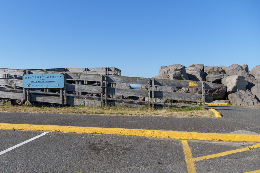
Westport Marina Observation Platform
The memorial honors those lost at sea.

Westport Marina lands, on average, 130 million pounds of commercial seafood by volume, ranking it 10th in the nation. Measured by value, they come in at $72 million, or 19th in the nation. Seafood landed includes: Dungeness crab, salmon, albacore tuna, shrimp, oysters, prawns, and much more. The marina welcomes commercial vessels from 35-feet long to over 100 feet.

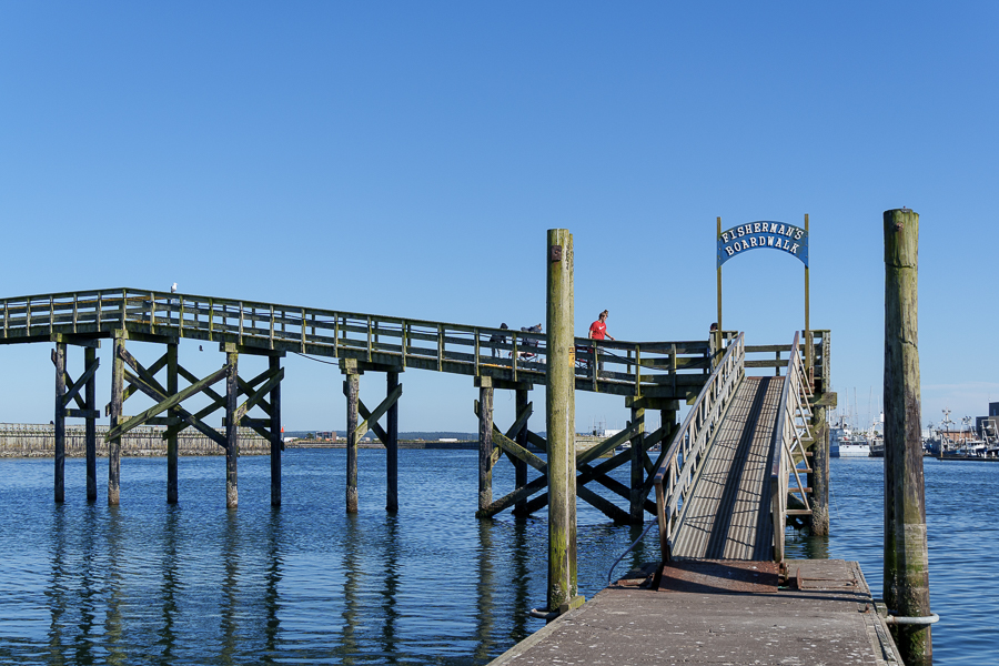
We walked on the Fishermen’s Boardwalk, where several families and couples held fishing poles and crab ring nets as they waited for fish to bite or crabs to crawl into the nets. Many of their buckets contained a dinner’s worth of seafood. Some children joined their parents in the fishing activities, while others stood off to the side engrossed in a separate world.

Fisherman’s Boardwalk
Anglers leaving for the day
The boardwalk
Just hanging out
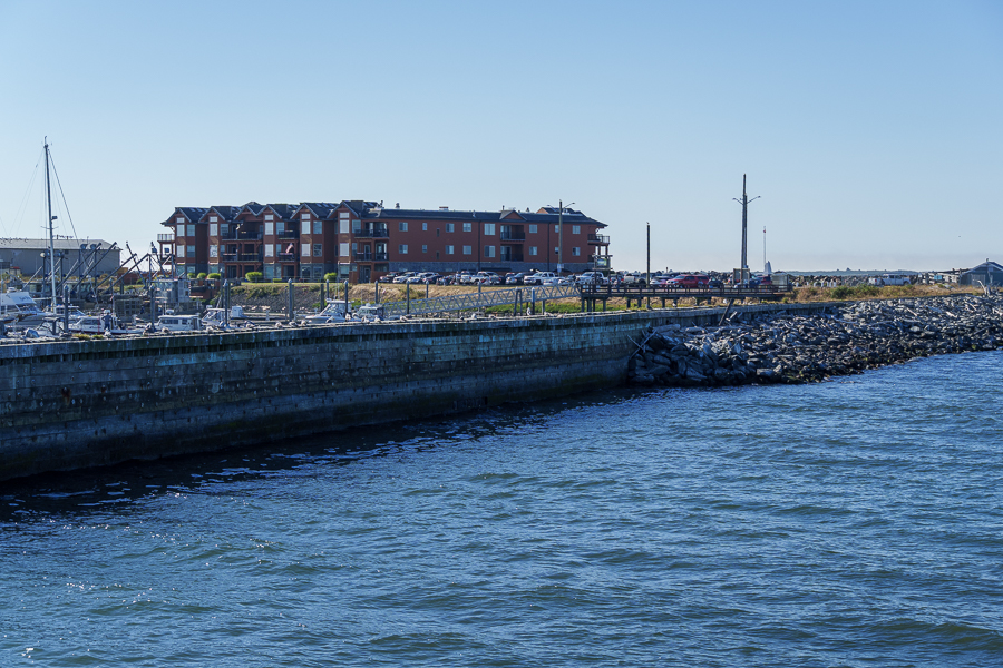
View of jetty and Point at Westport Harbor condominiums. Some units are short-term rentals.
Harbor with Westhaven Street in the background
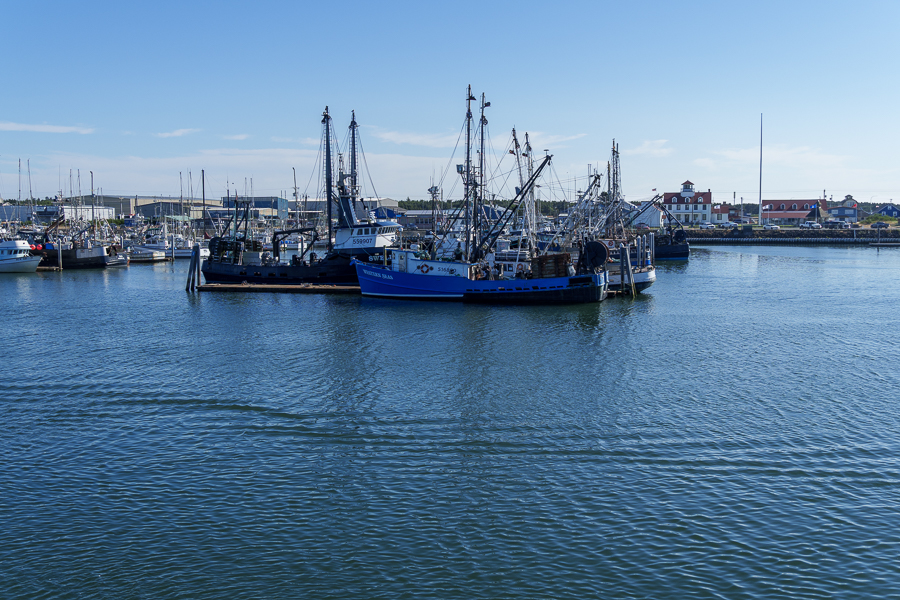
Close-up view of fishing boats
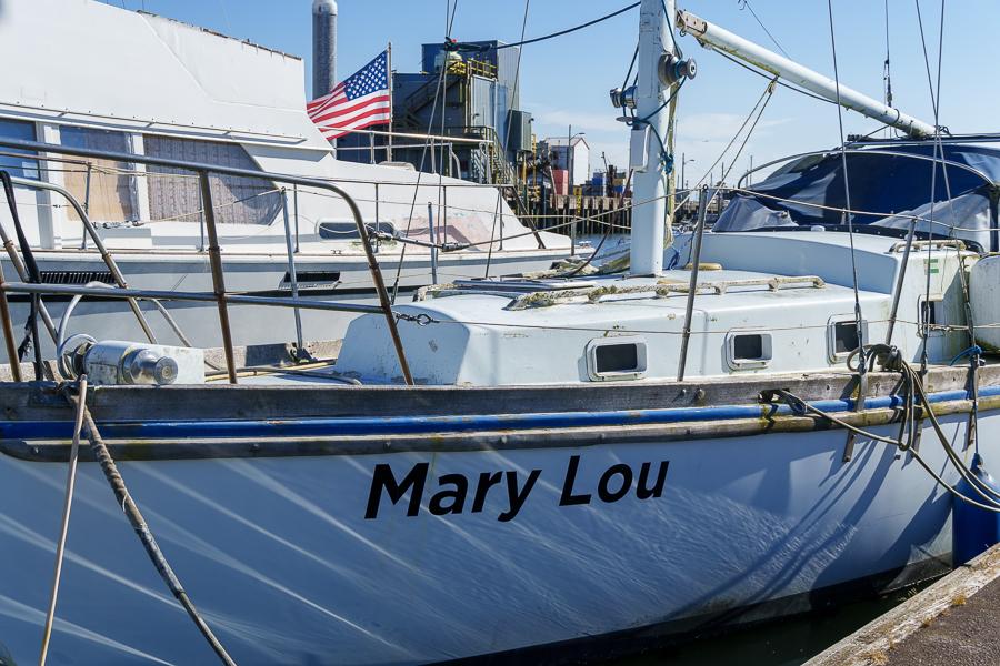
This boat’s name reminded us of our friend Marylou.

Other amenities for visitors at the Marina include the Centennial View Tower, a public boat launch, a plaza, and restrooms. People not interested in catching dinner or who have had no luck can always purchase directly from the fishermen and fish markets.

Go ahead, take my photo.

The Town of Westport

Nearby Westport is the Shoalwater Bay Indian Tribe. They are descendants of the earliest known settlers on the peninsula, the Lower Chehalis, Lower Chinook, and other people who called the area home.

We had their clam chowder and split half of a Dungeness crab. Should have ordered a whole crab. Jon had to eat leftovers when we got back to the trailer.

In 1857, Thomas Barker Speake arrived with his family and other white settlers and named the place Peterson’s Point. Westport’s history, which began in 1914, is a story of economic booms and busts impacting various industries over the past century or more that include: whaling, fishing, military installations, the rise of commercial and sport fishing, harbor safety improvements by the Army Corps of Engineers, introduction of pilot boats, fishing controversies, hard times, recovery, and renewal. For a more detailed discussion, go to: Experience Westport/History of Westport Washington.

One tidbit that piqued my interest was more current event than history: the building of a second tsunami evacuation tower. Made possible through a FEMA grant with a 10% match by Westport, the tower, with an expected completion of 2026, will hold 2,000 people. Long-term plans call for the building of an additional tower. Then, plans changed. The current administration canceled many of the scheduled federal grants on April 4, 2025, including the Westport Tsunami tower.

Because $13.7 million was already “obligated,” the community gained hope the project will move forward. Then at the end of May 2025, the grantee extended the period of performance until December 2027, further raising hopes of completion. Those in charge must feel like they had climbed aboard a roller coaster that had lost its brakes.

Ocosta Elementary School was the recipient of the first tsunami tower as part of the construction of a replacement school. This tower has a dual purpose. Classrooms, a library, kitchen, and administrative spaces occupy the structure, which can hold 1,000 people, withstand a 9.2 magnitude quake, and resist tsunami waves. The tsunami that resulted from the 8.8 magnitude earthquake in Russia on July 30, 2025, failed to reach levels requiring the use of the tower.

Westport has more to offer besides fishing and crabbing. Visitors can enjoy beach activities, wander through the history and maritime museums, or learn about growing cranberries at the cranberry farm and museum. Unfortunately, our days in town didn’t coincide with the museums’ open days. We’ll plan our trip better next time so we’re there Thursday through Sunday.

Westport Light State Park

With the museums closed, we settled on visiting the lighthouse at Westport Light State Park, even though it was also closed. The 560-acre park is day use only and includes 1,215 feet of shoreline for surfing, exploring, saltwater fishing, crabbing, and clamming. An outdoor shower and two indoor accessible showers are available for surfers and beachgoers.

Our search for the lighthouse took us on the trail from the parking lot east, then south, then west for four miles around an extremely lengthy block. We should have gone south from the parking lot, then east, and it would have only been one and a half miles.

The following photos depict the views on our trek to the lighthouse.

Parking lot for the state park.

Although most of the way was enjoyable, parts of it were not, so we had to ask for directions. We contemplated calling an Uber. Unsure the small town had one, we persevered and made the loop. Had we gone the short distance, we would have missed out on the magnificent views and photo opportunities.

Short sleeves and bare legs as if the weather was warm. Maybe they were from Canada.
Jon and I bundled up in our winter outerwear.
On the Westport Light Trail
Memorial plaques graced the benches we passed.

On August 9, 2025, I read on The Daily World website that someone had pried off and stolen several memorials embedded in cement and on the benches. Apparently, it’s the State Park’s responsibility, not the city’s. Either way, what a shame for the people who had them placed there to honor their loved ones.

Jetty and skyline across the bay
Old Coast Guard Lookout
We would have missed this deer had we taken the shorter trail

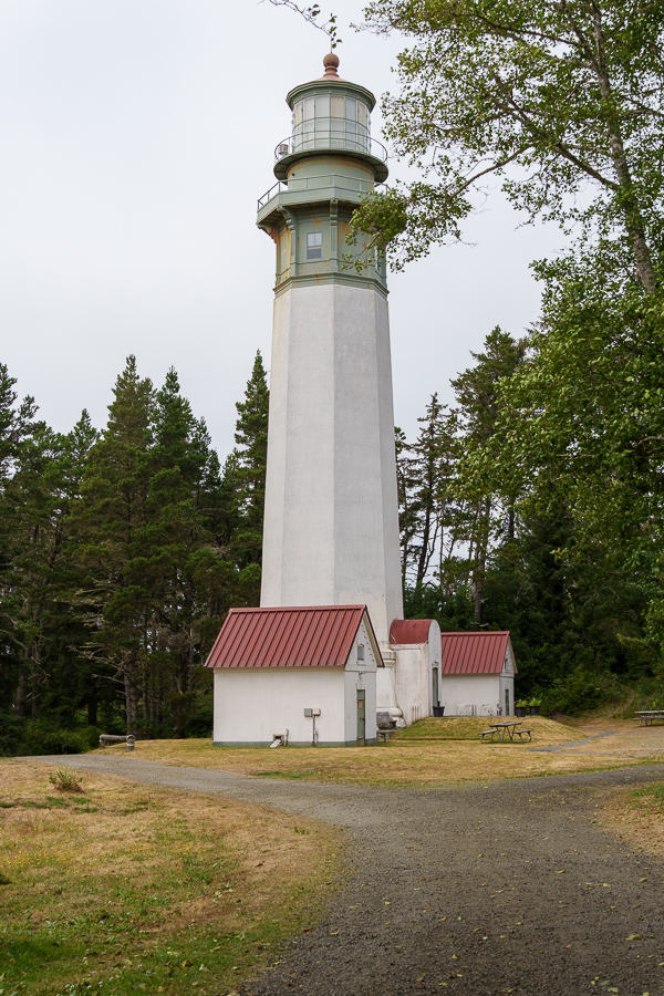
Built in 1897 and lit in 1898, Grays Harbor Lighthouse stands at 107 feet, the tallest lighthouse in Washington State. At that time, the lighthouse replaced more primitive gear to light the way for ships entering Gray’s Harbor.

The RVs next to the lighthouse belong to work campers who volunteer 20-25 hours a week, depending on the season, for a full hookup site. If interested in joining the ranks, check out the park’s website.

When the lighthouse began service in 1898, it stood 400 feet from the high tide line. Thanks to sediment from the rivers and streams that flow into the Pacific, accretion over 127 years has moved the shoreline 3,000 feet to the west.

The shape and colors of this building cried out for a photo. It sits across the street from the lighthouse and used to be a restaurant. I’m not sure what it’s used for now.

We enjoyed walking around the harbor, and visiting the lighthouse was the highlight of our walk. We got up close enough for more detailed shots of the buildings without disturbing the work campers in their RVs. No one came out, so we guessed they were off having an adventure of their own.

Next Up: We drop into Oregon and stop for a visit at the Tillamook Creamery

Safe Travels

2024 Pacific Northwest Adventure Episode 7 Tacoma Glass Museum

On July 12, 2024, we headed back to Gig Harbor for a few days. The time had arrived for us to prepare to leave Washington and head home. We spent the weekend washing clothes, cleaning the trailer, completing other tasks, and visiting one more attraction. When I read about the Chihuly Bridge of Glass, I couldn’t imagine what it looked like. So off to Tacoma, Washington, we drove.

The cone-shaped structure houses the Glass Hot Shop. The top lights up at night. The East 21st Street Bridge in the background carries four lanes of SR509.

It took us a while to find the place. We passed under the bridge and drove off in different directions, on this freeway and that one several times until we found the Museum of Glass and a place to park. While doing so, we wondered what hid inside the huge cone-shaped structure pointing toward the sky.

Museum of Glass

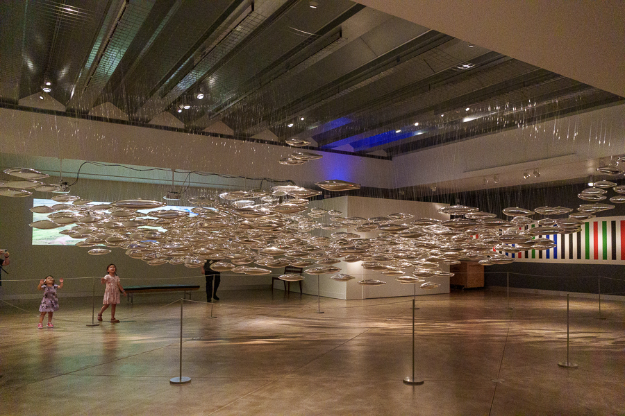
We had seen plenty of museums during this adventure. Was I ready for another one? I’m so glad we paid the entrance fee because the Museum of Glass was more than just a museum. The museum describes itself as a contemporary art museum with glass and glassmaking as its focus and so much more.

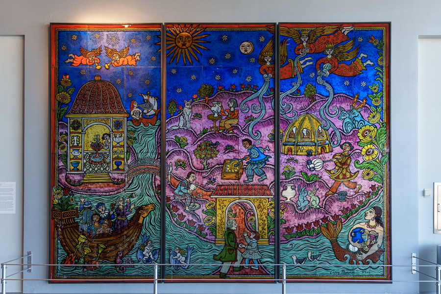
Gathering the Light, by Cappy Thompson, installed in the Grand Hall near the entrance.
A sign titled, A Leaf A Life A Legacy accompanied this sculpture. On the green leaves, names and quotes led me to think the artwork is a tribute to a person. Not sure of the title and don’t know the artist’s name.

We stepped into the Hot Shop on the upper level of stadium seating and thought we had stumbled into a theater where actors might appear on the stage below. A screen hung from the ceiling on the opposite side above a wall of furnaces blasting red hot. The video captured the activity on the stage, giving the audience a closeup view of the work going on down below. In the middle of the furnace wall, hung a thermostat pegged at 100 degrees.

A glass artist stood outside a furnace, holding one end of a pole that stretched inside the flame. Other people stood a few feet away, watching and talking. They all wore short-sleeved T-shirts and shorts. One woman wore a tank top. Given the heat, they may have thought beachwear more appropriate.

Hot Shop Amphitheater

We watched as the artist removed the pole with a glowing glob of glass at the end. Two other folks helped to turn the poles while the artist worked to shape and form the piece of art into his vision.

Reheating the glass
Shaping the art piece

When we could no longer tolerate the heat, the air-conditioned gallery cooled us off allowing us to enjoy wandering through the exhibits.

Transition of Age, by Chris Day
Blue Black, by Radcliffe Bailey. According to the placard, “The sculpture speaks to the harm done to Black bodies and psyches by the transatlantic slave trade.”
Movement IV: Sonata in Eight Notes, 2021, by Mildred Howard

The Museum of Glass structure, opened in 2002 at a cost of $48 million, was the first building completed on a Superfund site as part of the Thea Foss Waterway restoration. Since then, five other museums within walking distance have sprouted. We only had time to visit the one.

A Citizen Science Workshop of The Salmon School brings together the Tacoma Public School District, educators from the Museum of Glass, and the Foss Waterway Seaport to work on the Puyallup River watershed to save the salmon.
Close up of the salmon school exhibit
Gibson Chandelier, 2000 by Dale Chihuly
Another Chihuly creation

This museum isn’t just a place to walk around and look at the exhibits; it also offers a variety of programs:

  • The Hot Shop – Artists can apply for one-day and week-long residency programs at the museum, where they can experiment with new ideas and techniques.
  • Kids Design Glass – Children age 12 and under can submit their designs via email. If selected, an artist will create the design in glass at one of their Hot Shot presentations.
  • Science of Art – This is an outreach program for K-8 students enrolled in the Tacoma Public Schools or other local schools.
  • Virtual Science of Art – Beginning in 2020, the museum expanded access to school classrooms across the State of Washington.
  • Hot Shop Heroes – A program for soldiers and veterans with post-traumatic stress disorder and traumatic brain injury.
  • Junior Curator Academy – This virtual series, geared toward middle and high school students, consists of six 45-minute lessons led by Museum of Glass educators.
  • Curator High – Teens work with each department to conceive and develop an exhibition by working with each of the museum’s departments. At the end of the program, the exhibit is installed in the Grand Hall.

Chihuly Bridge of Glass

The Chihuly Bridge of Glass opened in 2002 along with the Museum of Glass. Design, building, and art installation expenses cost $12 million. The steel and concrete pedestrian bridge spans 500 feet (150 m) over a rail yard and Interstate 705 at a height of 70 feet (21 m).

The covered portion of the Bridge of Glass, Seaform Pavilion, and Crystal Spires in front of Union Station from afar
View of Union Station from the roof of the Museum of Glass

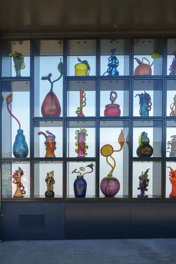
From atop the Museum of Glass roof, we walked up a series of ramps to the bridge. The first Chihuly installation we encountered was the Venetian Wall. On either side of the walkway, steel-and-glass walls for a length of 80 feet (24.4 m) display 109 blown glass sculptures. Natural light illuminates the sculptures during the day. When the sun goes down, fiber-optic lighting does the trick at night.

Glass art pieces in the Venetian Wall
More glass creations in the Venetian Wall

Toward the center of the bridge rise the Crystal Towers. Each 43-foot-tall spire supports 63 crystals. Polyvitro, a polyurethane material created by Chihuly, is the material used to give the crystals their blue coloring and transparency, without the weight of glass. Although the crystal’s appearance changes during the day as the sun shines through, I suspect they are more impressive at night when lit from below and join the city’s skyline.

Crystal Towers by Dale Chihuly rises 43 feet above the bridge
Close-up look at the “crystals”

The Seaform Pavilion is the third installation. The 49-foot (15 m) covered portion of the bridge delighted us with a colorful display of 2,364 glass sculptures inspired by marine life on the ceiling.

Seaform Pavillion by Dale Chihuly

I worried about the safety of the artwork up there on the bridge in all kinds of weather and open 24 hours a day. Then I remembered Chihuly had created other outdoor installations, so he must have done this before. And after twenty-five years, the art still stands. Still, I kept my ears open for the tinkling sound of broken glass announcing the destruction of a piece of translucent art. The noise never came.

View of the 21st Street Bridge

My camera failed to capture the feeling evoked by viewing the pieces in person. I sense a facsimile of that feeling when I look at them, except it’s not the same. We highly suggest visiting the museum when nearby. We would love to see the Chihuly Garden and Glass in Seattle if we ever get back to the area.

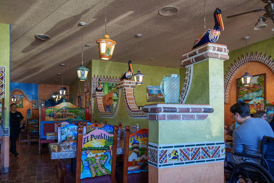
Dinner time had arrived by the time we returned to the trailer. Not wanting to cook, we chose El Pueblito for our last meal in Gig Harbor. Another fine meal to enjoy before we waved goodbye in the morning and turned the truck south toward home.

El Pueblito in Gig Harbor

Up Next: We take our time making our way home, stopping to explore a few more attractions.

Safe Travels

2024 Pacific Northwest Adventure Episode 6: Leavenworth, Washington, and Wanatchee State Park

City of Leavenworth

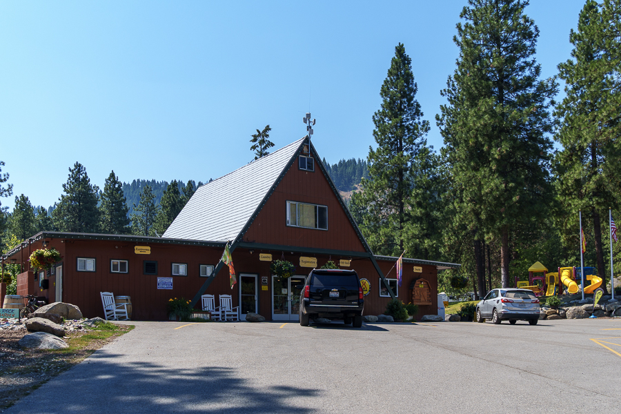
On July 8, 2024, we arrived at Leavenworth/Pine Village KOA Holiday RV Park around 3:30 pm, and settled in during a heat wave. First order of business? Turn on the A/C. Pronto.

Leavenworth/Pine Village KOA Holiday RV Park

I guess July wasn’t the best time of year to have our Bavarian Getaway. The morning hours were the best time to get out and about. When temperatures rose above 100 degrees, we sought things to do inside.

Our campsite
The Wanatchee River wraps around the KOA

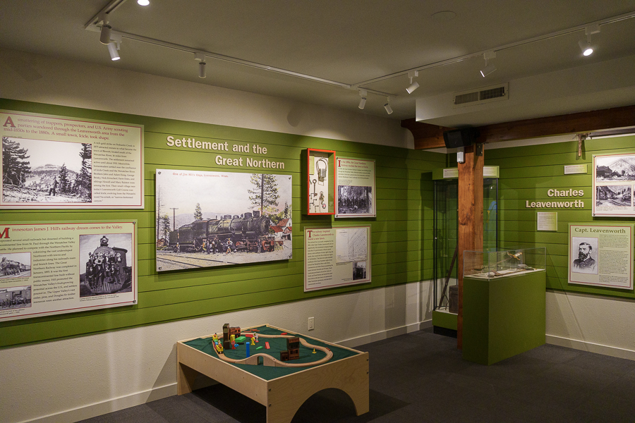
The Greater Leavenworth Museum was one of those air-conditioned spots we enjoyed for about an hour. While there, we learned how Leavenworth got its start as a Bavarian-themed travel and vacation spot.

Present and Past

Ted Price and Bob Rodgers sparked the idea of a Bavarian-themed town to the economically depressed Leavenworth in the early 1960s. They believed the town’s transformation would bring in tourists, as it did for them. They were the owners of the alpine themed Squirrel Tree Inn 20 miles outside of Leavenworth.

Bob and Ted’s Story

To demonstrate their belief, they sold their inn and invested in Leavenworth property. Their renovations inspired others to create Bavarian-themed storefronts on their buildings. And to use a cliché, the rest is history.

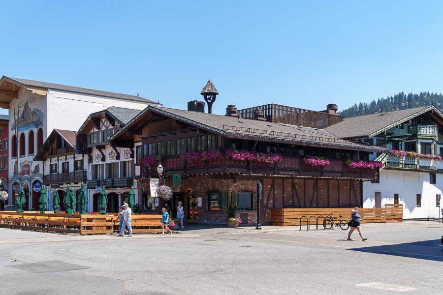
Even today, strict regulations exist to retain the Bavarian look of signs, buildings, and other infrastructure. Even McDonalds had to abide by the design requirements.

McDonald’s with a chalet exterior
Exhibits include how Leavenworth was settled and who Charles Leavenworth was.

Soon the town committed to three festivals: Maifest, Oktoberfest, and the Christmas Lighting Festival. Other outdoor and sports activities also drew people to the area.

Curious to know how Leavenworth got its name, I searched for an exhibit that told the story. Known as Captain Leavenworth, Charles Frederick Leavenworth was a prominent businessman who settled in Santa Rosa, California, from Rochester, N.Y. in 1871. He married Kate Mead two years later.

Capt. Leavenworth may have used a survey transit c. 1900 like this one when he surveyed the town.
Displays on indigenous peoples and other topics

While in California, he designed and built a steam-operated flour mill and a municipal water system for Modesto, California. In 1883, he moved to Tacoma, Washington, where he invested in a sawmill. He built a larger sawmill in Gray’s Harbor, so he could ship lumber to California. His shipping business is where his nickname, Captain, came from.

Deserted town?. No, the people are hiding out in the shade or inside buildings.
The building on the left contains the Historical Museum and the Nutcracker Museum.
Next door is a building under renovation.

On October 13, 1892, Leavenworth filed a warranty deed for Leavenworth. He surveyed and platted the new town, and with a group of financiers sold town lots. The Panic of 1893 caused a depression that lasted several years and put an end to their enterprise. He returned to Western Washington until his death on February 2, 1909. He never returned to the town of Leavenworth to live. Apparently, there wasn’t much to see after the local mill closed and the Great Northern Rail Road pulled out. I wonder what he would think if he could see it today.

Stein in Leavenworth serves 55 beers on tap
Or pick up something sweet at Big Foot Donuts at Steins
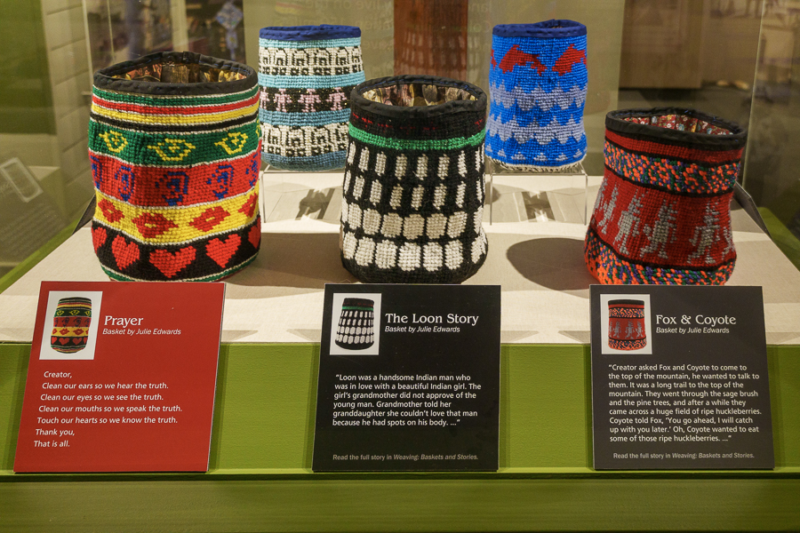
The museum’s display of baskets created by Julie Edwards began in 2021. She twists the weaving process by using yarn instead of traditional materials, using the designs to tell a story. In April 2025, she held a book signing for her book titled, Weaving: Baskets and Stories.

One might think the pole on main street is a totem pole. Actually, it is a 96-foot tall Maibaum, or Maypole. The blue and white stripes are traditional Bavarian colors. Attached to the pole are placards that depict the town’s history.

Maibaum (Maypole)

The placards highlight key industries in the community’s history and today. These industries include logging, railroading, skiing, and a few more. At the base is a traditional Bavarian blessing, which in English translates to, “Maypole rise to the blue-white sky so our homeland may forever prosper.”

Mural on our way back to our RV site

I have to agree with Bob and Ted. It may have taken a few years for their vision to take hold, but from the looks of what we saw, the community persevered and created a thriving community. We had a pleasurable visit despite the heat.

Lake Wanatchee State Park

One day during our visit, we drove about 30 miles to Lake Wanatchee State Park and Campground. The campground includes 197 campsites for tents, camper vans, truck campers, and small trailers under 20 feet. Too small for our 30-foot fifth wheel.

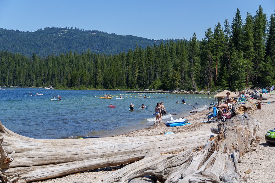
Beating the heat at Lake Wanatchee

Lake Wanatchee, a glacier- and snowmelt-fed lake, feeds into the Wanatchee River. At an elevation of 1,873 feet (571 meters), the length of the lake is 5 miles (8.0 kilometers) with a surface area of 2,480 acres (1,004 ha) and a maximum depth of 244 feet (74 meters).

Drift wood on the beach
Kayak, anyone?
Picnic shelter

While poking around the park’s lake area, we kept hearing planes flying over. And then I noticed a plane glide along the lake’s surface, filling its tanks and flying off in less than a minute. About every 15 minutes, they came back for more water. I had to take a video. It was my first attempt with my new camera, so ignore the jerky first few seconds.

Super Scoopers Work at Lake Wanatchee

They must have been fighting the Shoofly fire, which was 20 miles west of the state park. Their skill in piloting the planes to skim the surface of the lake amazed me.

That wraps up our Bavarian getaway. Perhaps we’ll make our way back some day during fall so we can experience Oktoberfest.

Next Up: The Glass Museum in Tacoma, Washington.

Safe Travels