
Colorado, here we come. Finally, on Friday, August 10, the 19th day of our Summer 2018 Tour, we made our way into Fruita, Colorado. The drive from Torrey, Utah, was filled with a variety of terrain including aspen groves that dotted the hillsides, juniper forests, and sagebrush. Plumes of smoke rose from behind a set of hills early on the drive reminding us that wildfires still burned. Large boulders and slick rocks, similar to what we saw in Capitol Reef, appeared and then an overlook gave us a wonderful view of a valley as we descended to lower elevations.

As we made our way to the Utah Colorado border, the landscape turned barren and resembled the sandy area near Hanksville, Utah. When we arrived at Monument RV Resort in Fruita, Colorado, we were glad to see vegetation, especially near the Colorado River. We quickly set up, turned on the air conditioning to beat back the 90-degree temperatures, and drove to the nearest restaurant, Mexican food of course. El Tapatio served up a crisp tostada topped with a generous serving of chicken. The food, margarita, and colorful décor brightened our mood.

The smoky skies and high temperatures conspired to limit our activities during our stay, but we still found plenty to keep us busy even though we lost the truck for a day and a half for maintenance and repairs. Jon knew the truck needed an oil and filter change but also realized that it was time to service the Allison transmission too. Better to get that done there especially because of the extreme grades we would encounter towing the 8000-pound trailer.
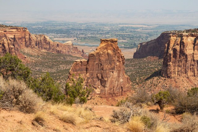
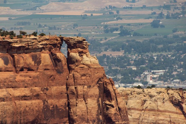
Colorado National Monument
We can thank a man named John Otto for the Colorado National Monument. In 1907, Mr. Otto started a campaign to set aside and protect this unique area for the pleasure of future generations. Residents of Grand Junction supported Otto’s vision by writing letters and petitioning politicians in Washington and in 1911, the Colorado National Monument was established. Otto was named the caretaker for $1.00 per month, built miles of trails, and stayed until 1927.

We began our visit to the monument by stopping at the visitor center to pick up maps and trail guides. The center offered not one, but two movies, one on the geology of the area and the other on the park. The Monument includes 7 short trails ranging from a ¼ mile one way to 1.75 miles one way. There are an additional 7 trails with one-way distances of 3.3 miles to 8.5 miles. A developed campground is available with both first-come-first-served and reservable sites. Permits are required for camping in the backcountry.

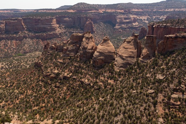
Given the heat, smoky skies, and altitude, we opted to stick to the shorter trails. The Canyon Rim Trail is accessed from behind the visitor center, meanders along the canyon rim toward the Window Rock Trail, and contains views of both Monument and Wedding canyons and many of the iconic rock formations.

We found the Alcove Trail across the street from the visitor center. The guide sheet (available at the visitor center) gave detailed descriptions of the numbered stops along the trail.


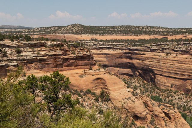
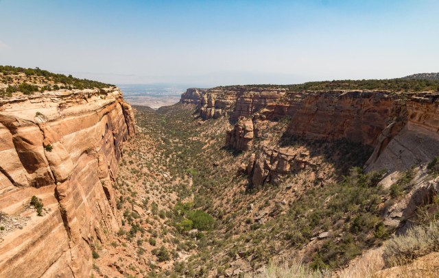
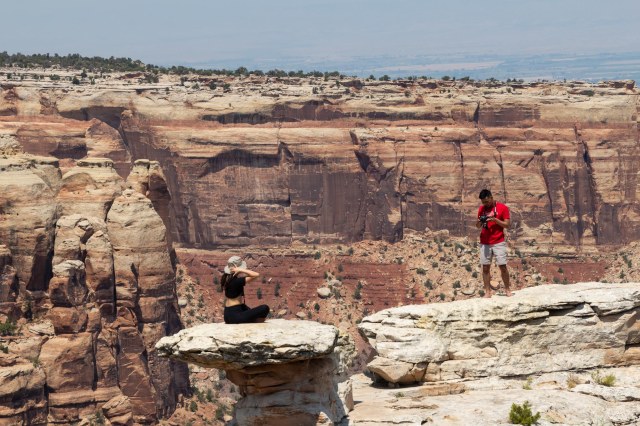
The 23-Mile Rim Rock Drive is one of the highlights of the monument. Several overlooks along the drive allow visitors a chance to get out of the car, peer into the canyons, and take in the breathtaking views of Grand Junction. Some of the overlooks include short trails to viewpoints.
The Devil’s Kitchen Picnic Area, a short distance from the Grand Junction entrance, was a great place to stop for lunch where there are a large shelter, plenty of picnic tables, and clean restrooms.
Grand Junction
The downtown area of Grand Junction was a great place to walk around. We joined the several groups of families and friends walking up and down the street. One thing separated us from them, though. They all had their heads bent down focused on their mobile phones. “Boy, the people in Grand Junction sure like their phones,” I said to Jon.

Then a group of three people walked near us and said something about there was supposed to something or other right there. I asked if they were playing a game and the woman said, yes, they were playing Pokemon. Okay, that explained the fascination with the mobile phones.
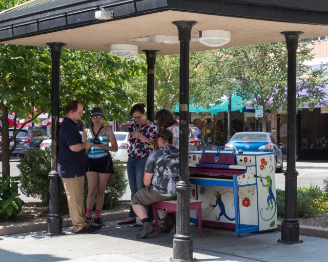
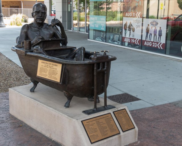
It was a good day to wander around the city on a Sunday and look at all the Art on the Corner. Established in 1989, the year-round event showcases both permanent and temporary sculptures along the downtown streets.


Although most of the stores were closed for the day, we found Slickrock Brewery open and stopped in for a bite. We split a cob salad and had an order of Calamari to start. The beer was pretty good a blend of 50/50 pale ale and wheat beer. It tasted pretty good, but I think I like 100% wheat beer better.
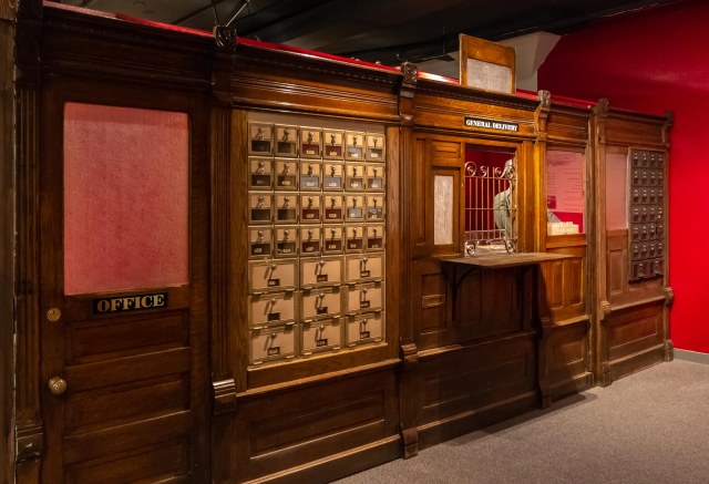
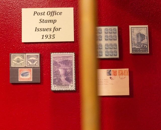
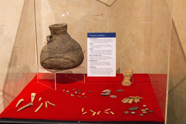
Museum of the West in Grand Junction
The Museum of the West in Grand Junction is a nice little museum that includes displays that tell the history of Grand Junction and the surrounding area.


One of the unique features of this museum is that it has an elevator to the roof where visitors have a 360-degree view of Grand Junction and beyond.


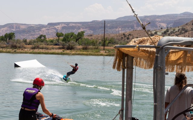
Cable Wake Board
We had seen the cable and the lake from the freeway and had to take a look. We both had skied at the local cable ski where we grew up in Southern California but hadn’t seen a similar business for more than forty years. Opened in April 2018, the Imondi Wake Zone Cable provides equipment and lessons.

The Western Slope Vietnam War Memorial
The memorial, located near the Fruita Welcome Center off Interstate 70, is “dedicated to the men and women who served in the United States of America Armed Forces during the Vietnam War 1959-1975.”

Grand Mesa
After picking up our truck from the dealer, we took it on a test run by taking a loop drive through the Grand Mesa. The drive started out not very scenic with mostly bare land and little vegetation and wide open spaces. Then we headed up Highway 65 into aspen forests that would burst into yellow, gold, and red colors during the fall.

Too bad we were too early to see it. Up, up and up we went onto the mesa where the aspen gave way to pines and several reservoirs were located. This was winter activities country where cross-country skiing seemed like the prominent sport. The views from the top were wonderful without the blanket of smoke to hide the view.

Coming down the other side and driving through a canyon was like driving atop a divide. On the south side of the road, tall slick rock cliffs rose from the canyon floor while on the north side of the road trees covered the mountains that slowly rose up. The vegetation on the north side was due to a river running along the foot of the mountain. What a difference a little water makes. I wished there would have been a place to pull over to snap a few photos of the phenomenon.
That’s it for our time in Fruita, Colorado. Next up we stop for a couple days in Craig, Colorado, on our way to Steamboat Springs.
Safe Travels

Marvelous photos of the geology! Also, it took me a second to figure out that I was looking at a photo of an already eaten apple! (grins)
LikeLike
Thanks for the comment. So glad you enjoyed the photos.
LikeLike
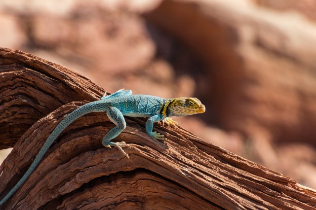
The woman bicyclist, the collared lizard and El Tapatio are my favourites from this collection.
LikeLike
Thanks for the comment. I loved the colors in El Tapatio. They created such a festive atmosphere.
LikeLike
Lots of wows! I hope this means you’re feeling peppier.
On Mon, Nov 19, 2018 at 4:10 PM The Traveling Todds wrote:
> LTodd posted: “Colorado, here we come. Finally, on Friday, August 10, the > 19th day of our Summer 2018 Tour, we made our way into Fruita, Colorado. > The drive from Torrey, Utah, was filled with a variety of terrain including > aspen groves that dotted the hillsides, juniper” >
LikeLike
Yes. Feeling much peppier until my batteries run down at the end of the day.
LikeLike
Wow! That restaurant looks incredible! So colorful and pretty. Thanks for sharing 🙂
LikeLike
Yes. The restaurant was very festive. Thanks for leaving a comment.
LikeLike