Day 15 of our 2018 Winter Tour took us to Willcox, Arizona. Our goal was to see Fort Bowie National Historic Site, another place we had seen while passing through the area on our way to somewhere else. It smelled like rain when we left Gila Bend, gusty winds and thick sandstorms pelted our rig through Casa Grande. The clouds finally cleared by the time we hit Tucson, but the wind stayed with us all the way to Willcox, finally dying down around 7:00 p.m.
The groves of pecan and pistachio trees in this part of Arizona always surprise me. After traveling miles with only the desert landscape to gaze at, acres of trees pop up like a mirage. We drove through Pistachio Alley on our way to and from Fort Bowie National Historic Site Trailhead. The trees with their bare limbs don’t look like much this time of year, but I bet they are majestic covered in leaves.

Fort Bowie was named in honor of Colonel George Washington Bowie commander of the 5th Regiment, California Volunteer Infantry, who first established the fort. The trailhead can be reached through either the town of Willcox or the town of Bowie. We selected the Bowie route to avoid what I gathered was a 10-mile drive on a graded dirt road over the Apache Pass. Going through Bowie, there is only about 1 mile of the dirt road.
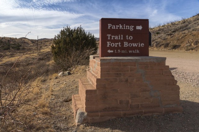
Don’t expect to drive a car up to a visitor center at Fort Bowie. (Accessible travel can be arranged). A 1.5-mile hike to the ruins meanders up and down hills, through a valley, alongside a spring, and past a cemetery. Information signs reveal the historic significance of the ruins along the way.
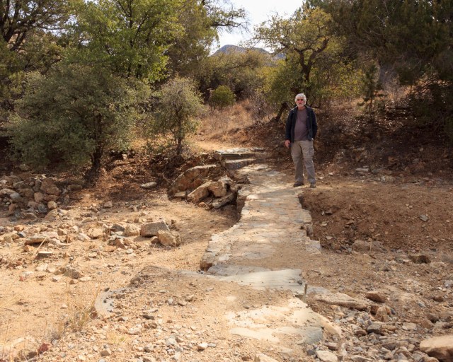
We took our time stopping at the ruins, reading the information signs, taking pictures, and wondering how it must have been riding a stagecoach through the rugged land.
The rocks in the photo below outline the spot where a cabin once stood. A local prospector and well digger, Jesse L. Millsap, lived in the cabin, according to his nephew who visited his uncle in a Model-T Ford with his father.

It was a pleasure walking along with only the sounds of nature surrounding us. Without the noise of a freeway, trains, and airplanes, it was like experiencing what someone during the 1880s might have experienced. Standing near the ruins of the Stage Station brought the scene to life.
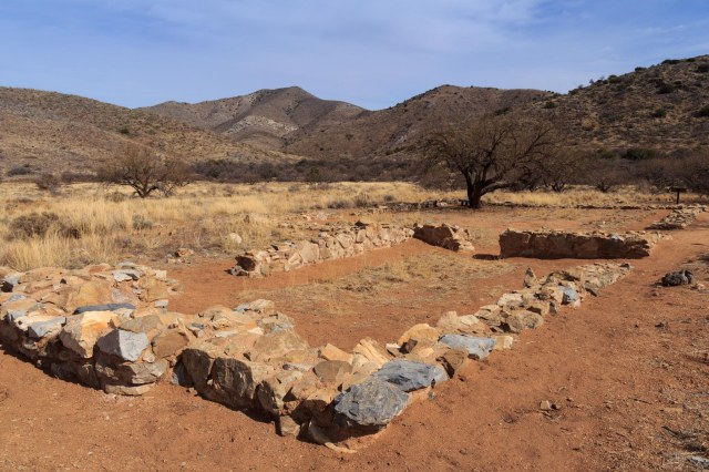
Imagine 6 – 8 foot-high walls surrounding a kitchen-dining room where stagehands and passengers ate a meal of bread, coffee, meat, and beans for fifty cents and rooms where guests might rest while waiting for the stagecoach to continue its route. Also enclosed within the walls was a storage room for feed and weapons and a corral for mules.

One of the biggest events that occurred in the area was the Bascom Affair. On February 4, 1861, Lt. George Bascom gathered with 54 of his men on a mission to find Cochise, the principal chief of the Chokonen band of the Chiricahua Apache. Bascom believed Cochise and his band kidnapped a boy and stole livestock and he was intent to recover both the boy and the livestock. The problem was Cochise and his band did not take the boy or the livestock and was insulted over the accusation.
The conflict lasted for sixteen days with both Indians and soldiers capturing hostages and executing them in retaliation. For twelve years tensions between the two groups continued until President U.S. Grant sent General Oliver O. Howard to join army scout Thomas Jeffords to make peace with Cochise.
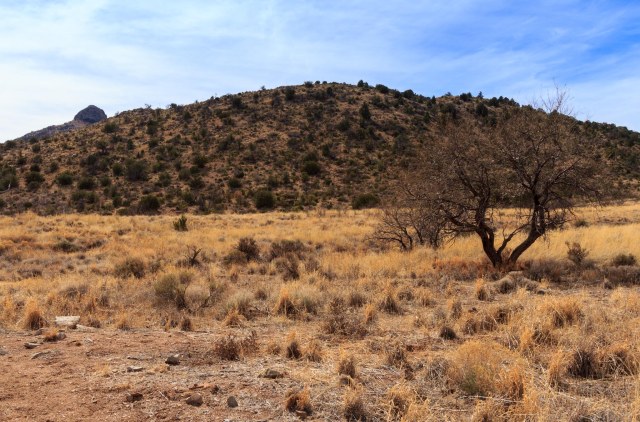
The Post Cemetery predates Fort Bowie when soldiers of the California Column were interred there in 1862. Other graves include military dependents, civilian employees, emigrants, mail carriers, and three Apache children including one of Geronimo’s sons.

The ruin in the photo below is of a late 19th-century adobe building, which housed the Chiricahua Apache Indian Agency in 1873-77. Based on an archeology study conducted in 1984, the building contained fireplaces, three rooms, and a wooden floor. A porch may have occupied the front of the building along with corrals at the back of the building for holding agency livestock. Adobe plaster covers and stabilizes the walls exposed by the archeologists.

When Cochise died in 1874, he left a band divided in leadership and conduct. Some Apaches lingered on the reservation while others left to plunder Mexican Settlements. U.S. Indian Agent Thomas Jeffords governed the remaining 900 Chiricahua Apaches at the Chiricahua Apache Indian Agency in 1875-76.
In June 1876, the government removed Jeffords and moved 325 Apaches northward to the San Carlos Reservation. Many escaped and fled to distant sanctuaries to renew hostilities for another decade.
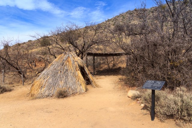
Imagine a camp of several thatched wickiups like the one in the photo below. Clustered together but hidden for safety, camp life continued as it had for hundreds of years. Men rode off to hunt for game while women harvested crops, prepared food, and cared for the children. The freshwater spring and other resources in the surrounding area supported hundreds of Chiricahua during the winter and spring seasons.
A unique feature located in Apache Pass, and a cause of many conflicts, is a freshwater spring that flows from a geological fault. Native Americans relied on the water long before the emigrants and soldiers arrived on the scene. Eventually, the Chiricahua were driven away from their home.

The walk to the ruins was not strenuous, but we were glad to have plenty of water and a snack with us. It is also a good idea to take along a sweater or light jacket, depending on the time of year, in case the weather conditions shift.
The steps up to the big porch at the visitor center and a comfortable bench where I could rest for a few minutes was a welcome sight. Inside the building, are a small museum and the typical national park T-shirts, hats, books, and junior ranger paraphernalia offered for sale.


We followed the docent advice and took the return trail back to the parking lot. Although the steep incline up a hill behind the visitor center was intimidating, switchbacks and flat stretches made the descent easier.
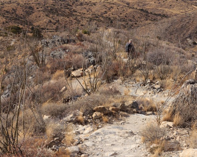
The best part was the spectacular views of not only the fort ruins but also the agricultural zones, valleys, and cities off in the distance.

We enjoyed our hike to the Fort Bowie ruins and wouldn’t mind returning some day during a prettier time of year. I’d like to see the pistachio and pecan trees dressed in their leaves and the ocotillo in bloom. Next time we’ll carry a full lunch in our backpack instead of the measly snacks we had packed.
Keeping with our 250 – 400 miles a day, Van Horn seemed like the next logical place to stop as we headed into Texas.

Wow…250 to 400 miles a day is a lot, Linda! 🚀
Love the information on the Apaches. Very interesting!
LikeLiked by 1 person
Most of our travel days are at the lower end of that range, while 400 is the max. It’s not too bad when we switch off driving duties.
LikeLiked by 2 people
Very interesting place for you to explore. I enjoyed reading the history of the area. I love seeing the old ruins and imagining what it was like to live there. I never knew there were pecan and pistachio trees in Arizona.
LikeLiked by 2 people
Thank you for your comment. I’m glad you found the information interesting.
LikeLiked by 2 people
Very nice!
LikeLiked by 1 person
Thank you.
LikeLiked by 2 people
Great post! I was a member of a Civil War Re-enactment group when I was a grad student at U of A in Tucson during the early 70’s. We did Co. D of the 5th California Volunteer Infantry stationed at Fort Bowie and later at Fort Lowell in Tucson.
LikeLiked by 2 people
Cool!
LikeLiked by 1 person